Elevation of Rock School Rd, Harpersville, AL, USA
Location: United States > Alabama > Talladega County > Harpersville >
Longitude: -86.478588
Latitude: 33.3394453
Elevation: 170m / 558feet
Barometric Pressure: 99KPa
Elevation Map:
Satellite Map:
Related Photos:

View from the Hill

Swolen Creek South View
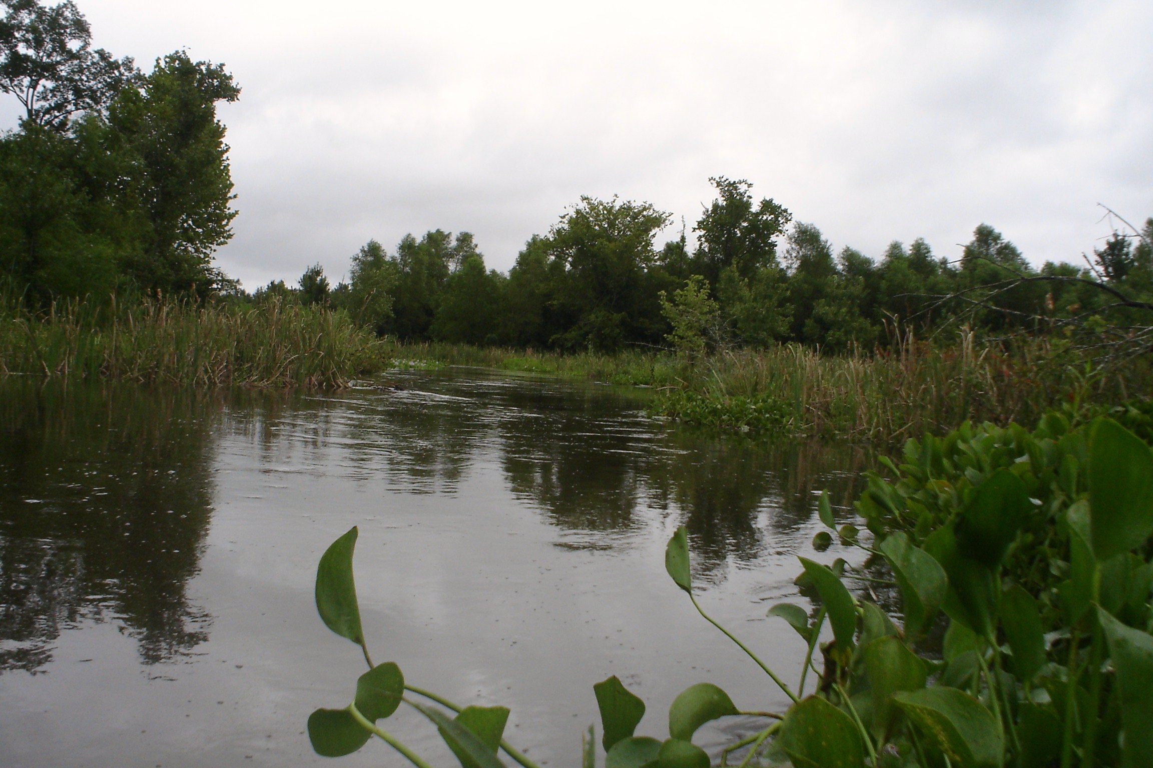
Swolen Creek North View

The Meet

Caught in the Glow

Sun.

198 Eastbound

Bad Weather Moves In On an Alabama Spring Morning

Coosa River Crossing
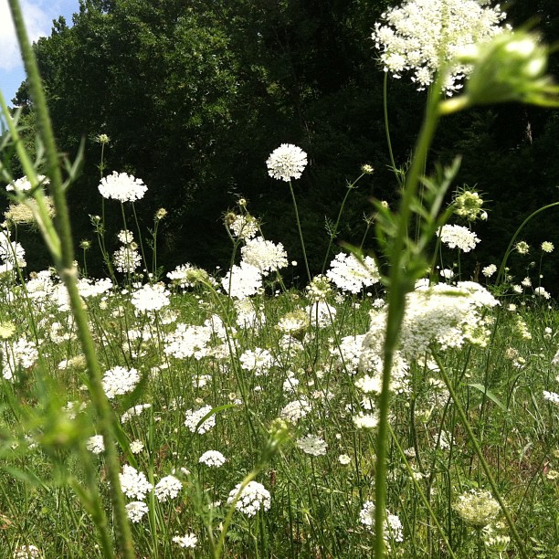
Saint Ann's Lace

Autumn moon.

Chicken Coop

Friday sunset

sunset 2

sunset 6

Fighting for Skyline

Distant red shack #Seed preps for takeoff

Blackberry Blossom in #yellow clover #country
Topographic Map of Rock School Rd, Harpersville, AL, USA
Find elevation by address:

Places near Rock School Rd, Harpersville, AL, USA:
US-, Harpersville, AL, USA
Deerwood Lake Drive
Harpersville
1377 Glaze Ferry Rd
Vincent
County Rd 62, Vincent, AL, USA
Sun Valley Rd, Harpersville, AL, USA
Wilsonville
Valentine Trail, Wilsonville, AL, USA
120 River Run Rd
Plant Rd, Harpersville, AL, USA
2 Lessor Dr, Childersburg, AL, USA
Childersburg
320 1st St Se
Renfroe Rd, Alpine, AL, USA
Kings Chapel Rd, Alpine, AL, USA
Coleman Bridge Rd, Sylacauga, AL, USA
235 Old Georgia Cir
8215 Plant Rd
Alpine
Recent Searches:
- Elevation of Corso Fratelli Cairoli, 35, Macerata MC, Italy
- Elevation of Tallevast Rd, Sarasota, FL, USA
- Elevation of 4th St E, Sonoma, CA, USA
- Elevation of Black Hollow Rd, Pennsdale, PA, USA
- Elevation of Oakland Ave, Williamsport, PA, USA
- Elevation of Pedrógão Grande, Portugal
- Elevation of Klee Dr, Martinsburg, WV, USA
- Elevation of Via Roma, Pieranica CR, Italy
- Elevation of Tavkvetili Mountain, Georgia
- Elevation of Hartfords Bluff Cir, Mt Pleasant, SC, USA