Elevation of US-, Belfry, KY, USA
Location: United States > Kentucky > Pike County > Belfry >
Longitude: -82.271055
Latitude: 37.6589252
Elevation: 204m / 669feet
Barometric Pressure: 99KPa
Elevation Map:
Satellite Map:
Related Photos:

Flex Your BeeCepts

A Mime's Staircase

Hotel Hallway

West Virginia scenery

West Virginia Scenery
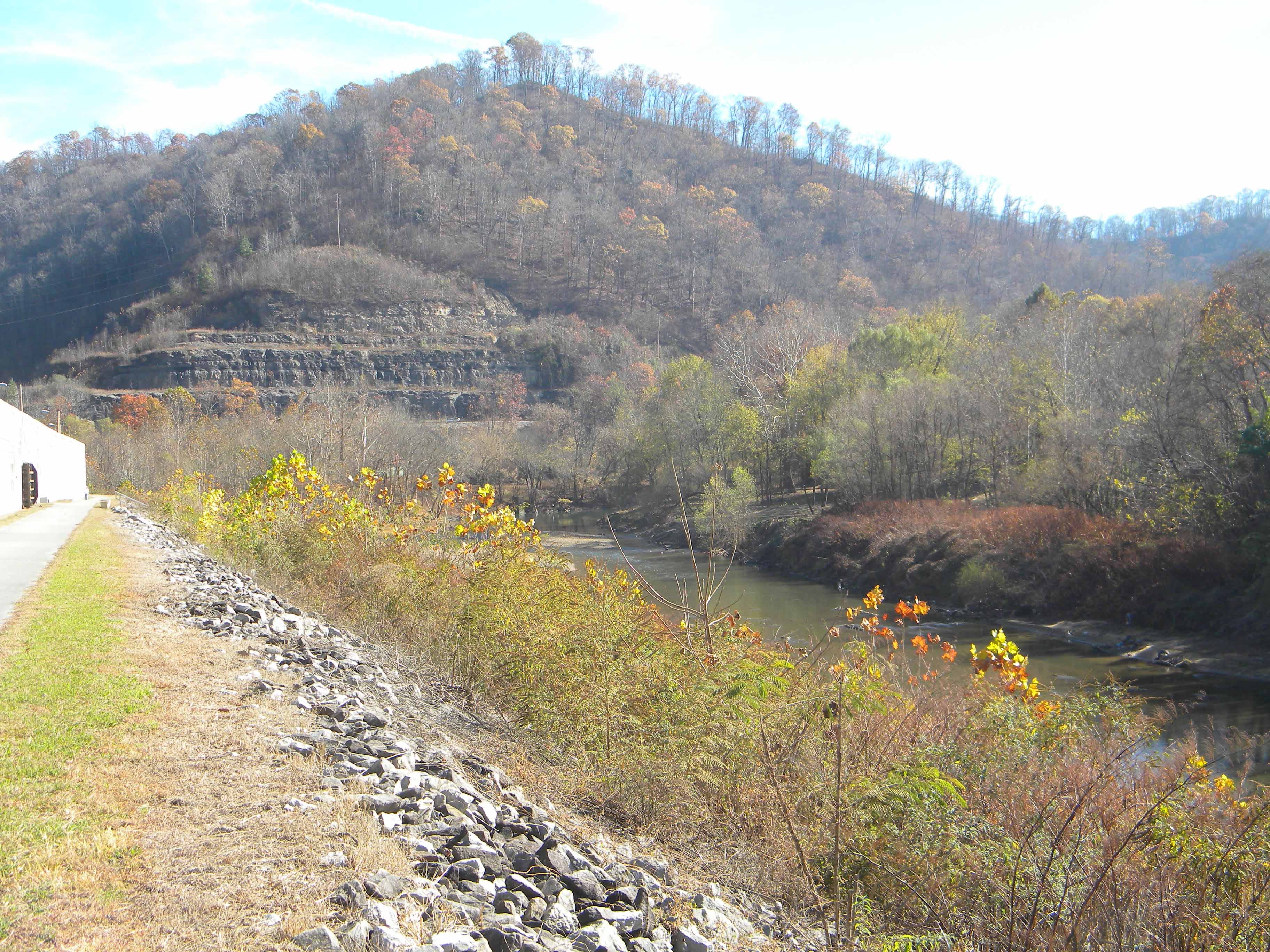
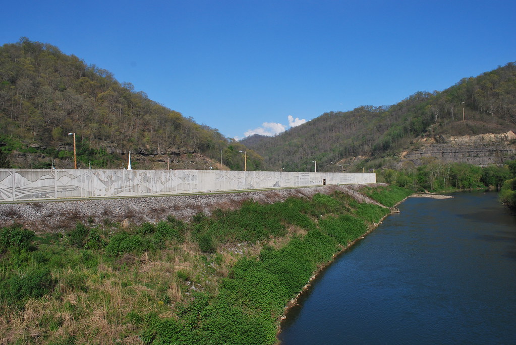
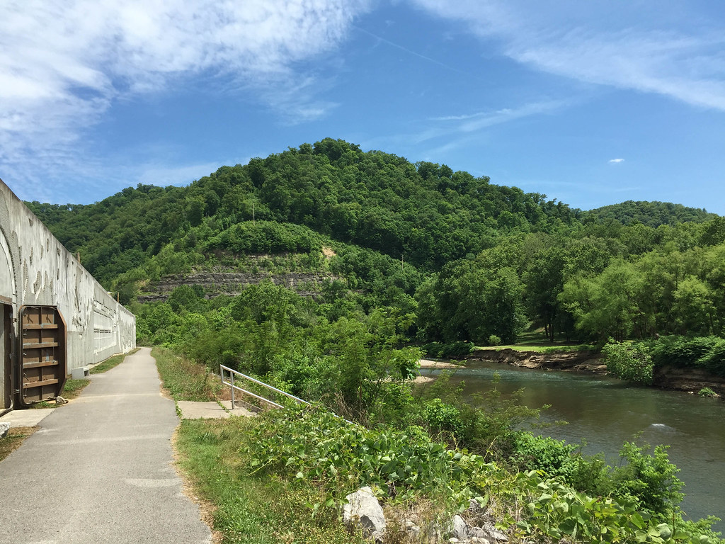
Matewan WV: The Tug River Outside the Flood Wall
Pawpaw Tree Execution

Norfolk and Western 2136 along Pigeon Ck, WV
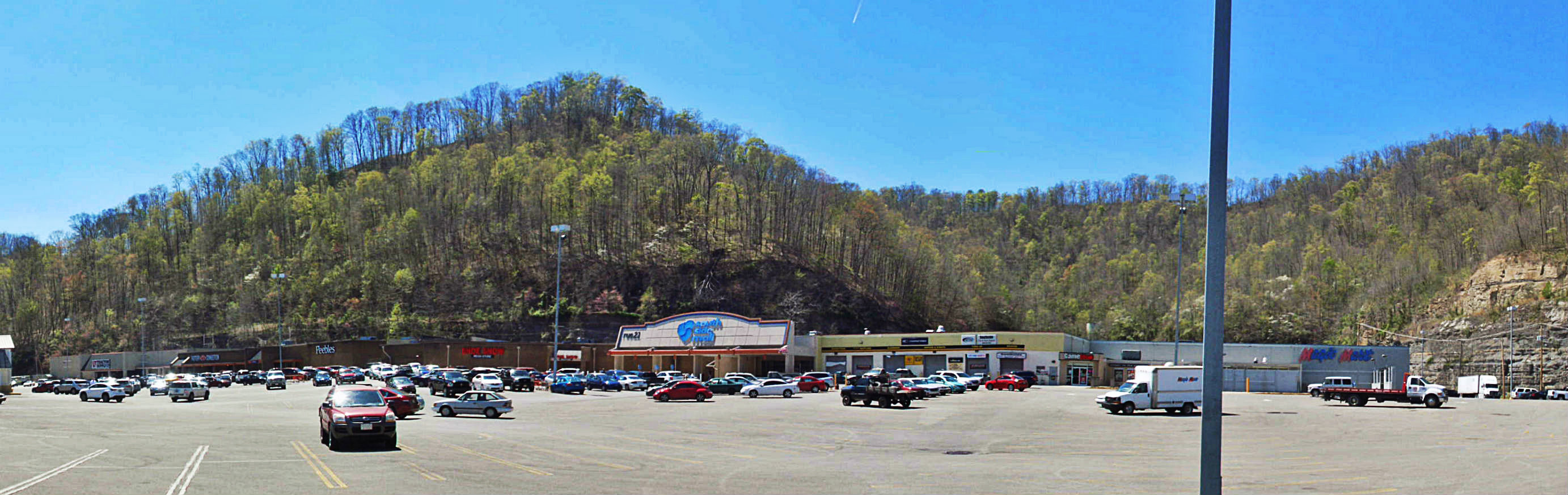
South Side Mall of South Williamson, KY
West Virginia scenery
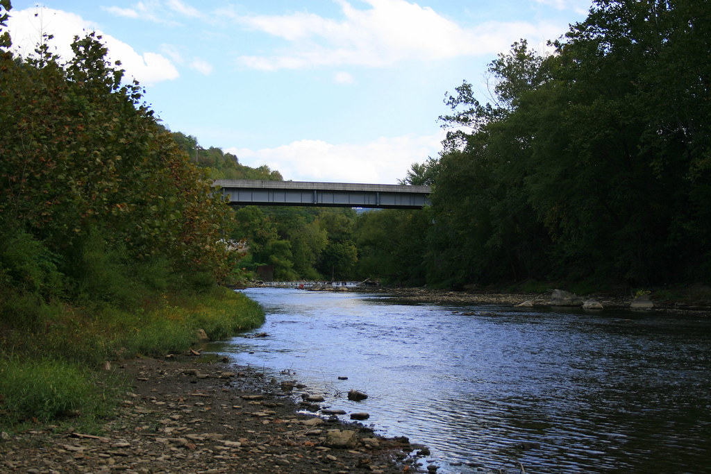
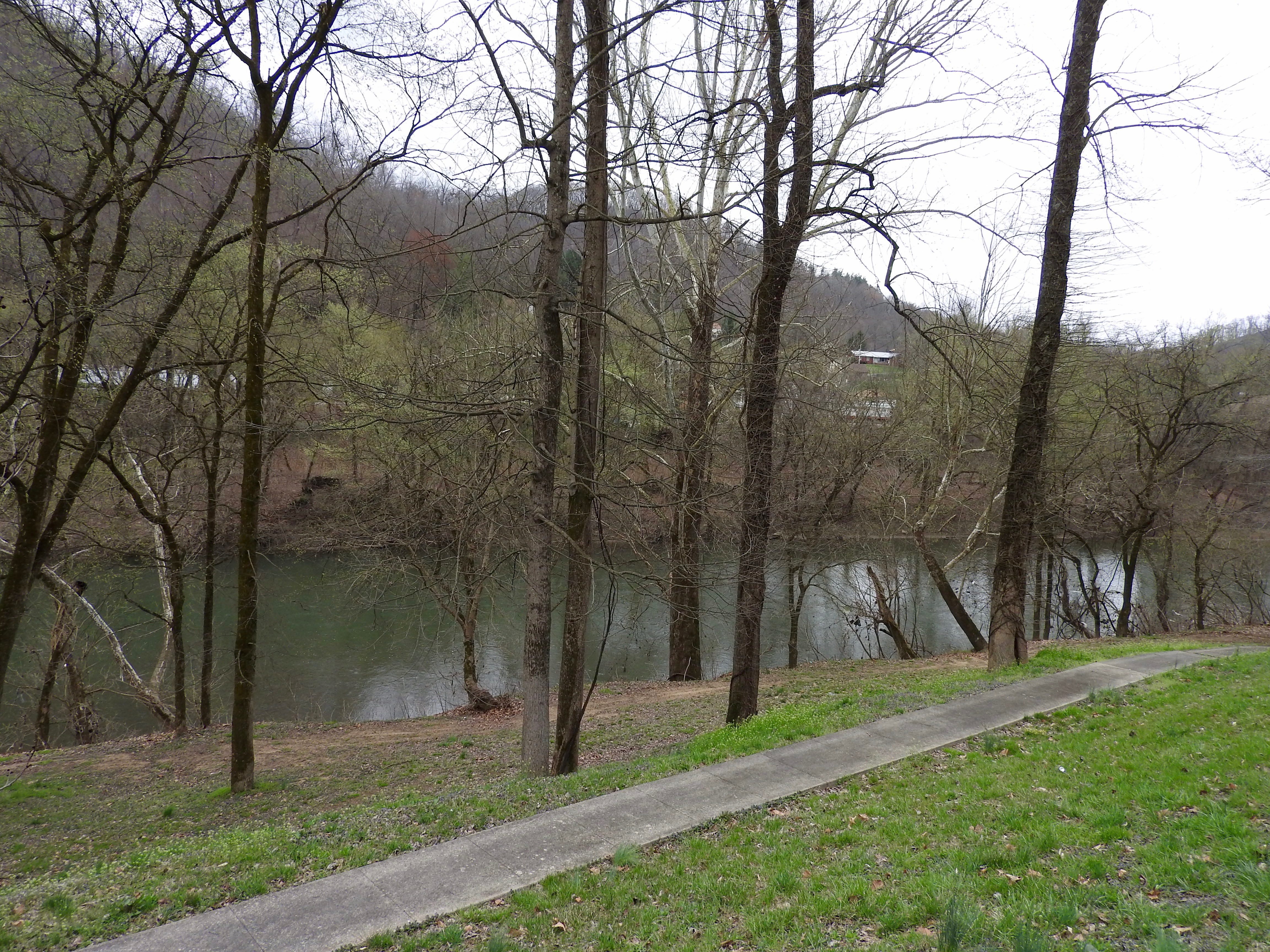
Tug River Thru Williamson, WV
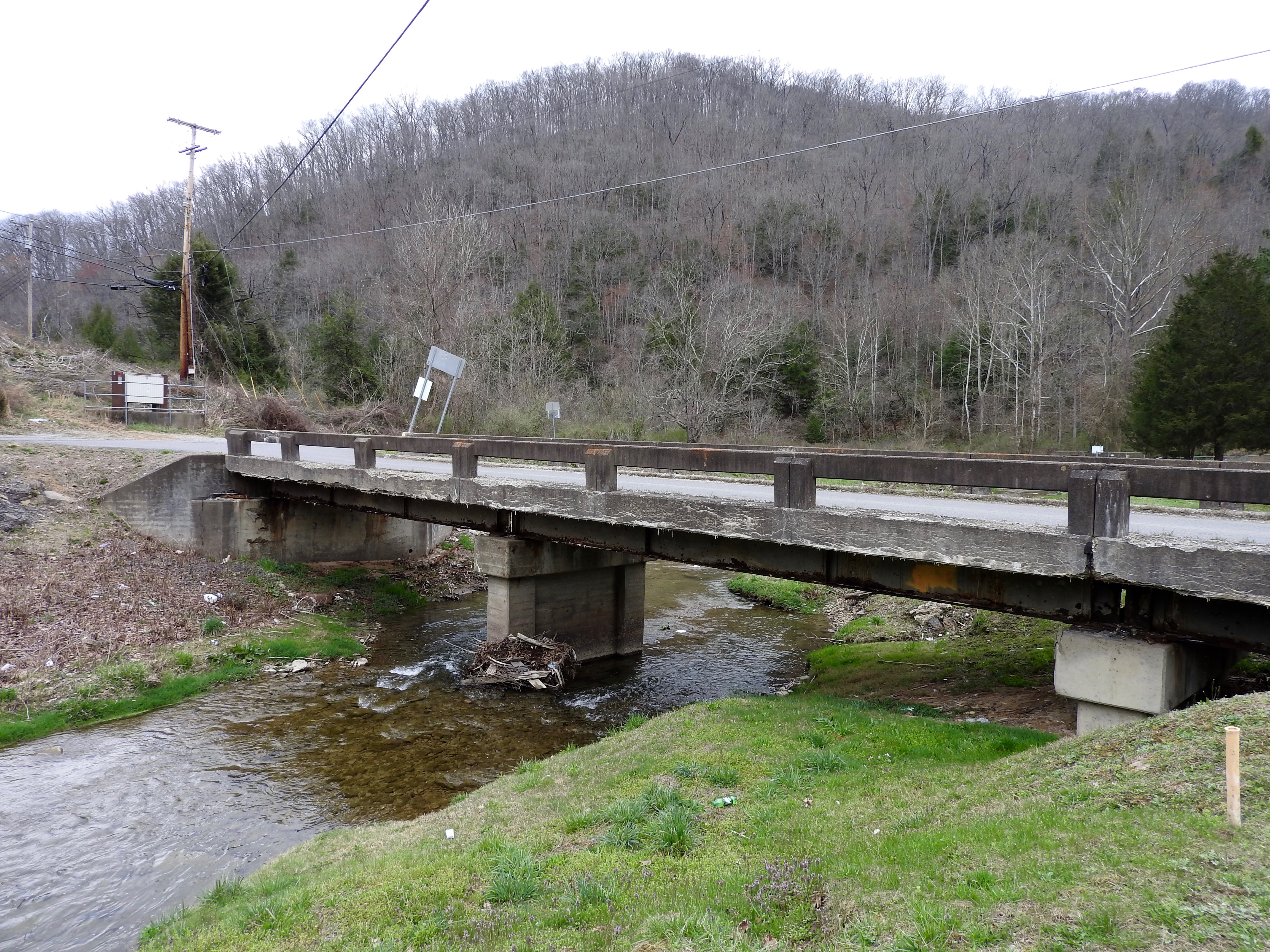
DSC_4725.JPG
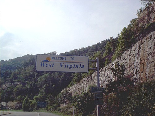
Welcome to West Virginia
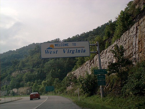
Welcome to West Virginia
Matewan Floodwall
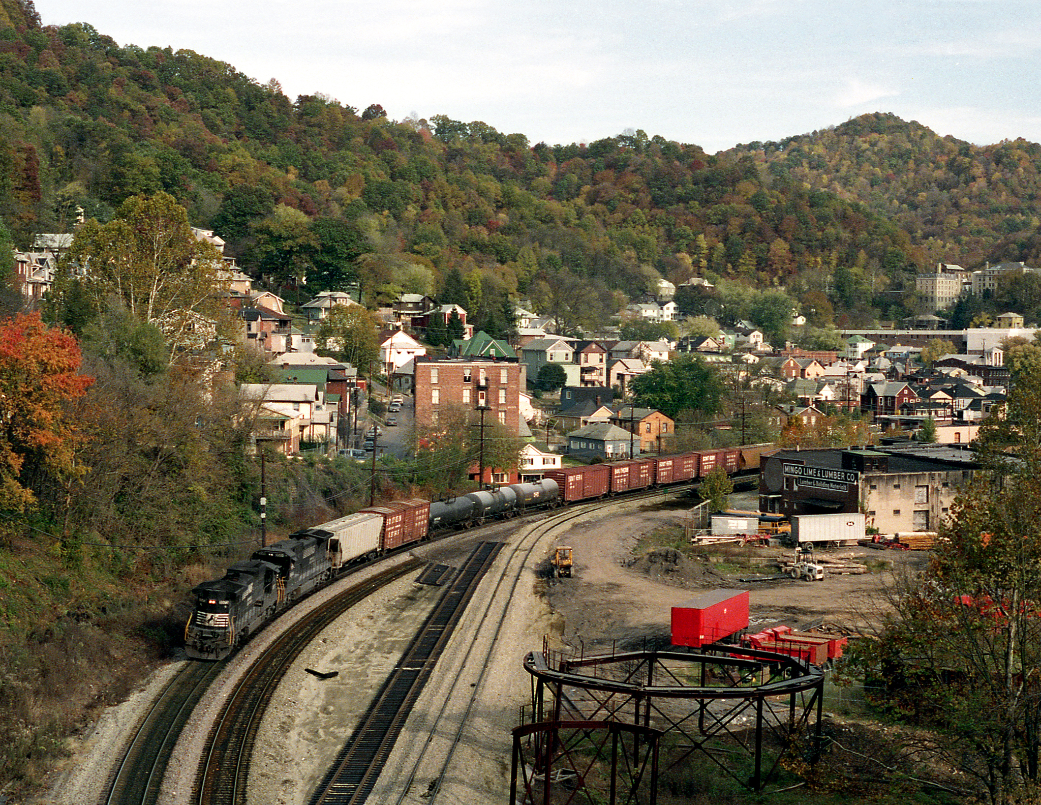
Williamson WV Thursday October 27th 1988 1620EDT
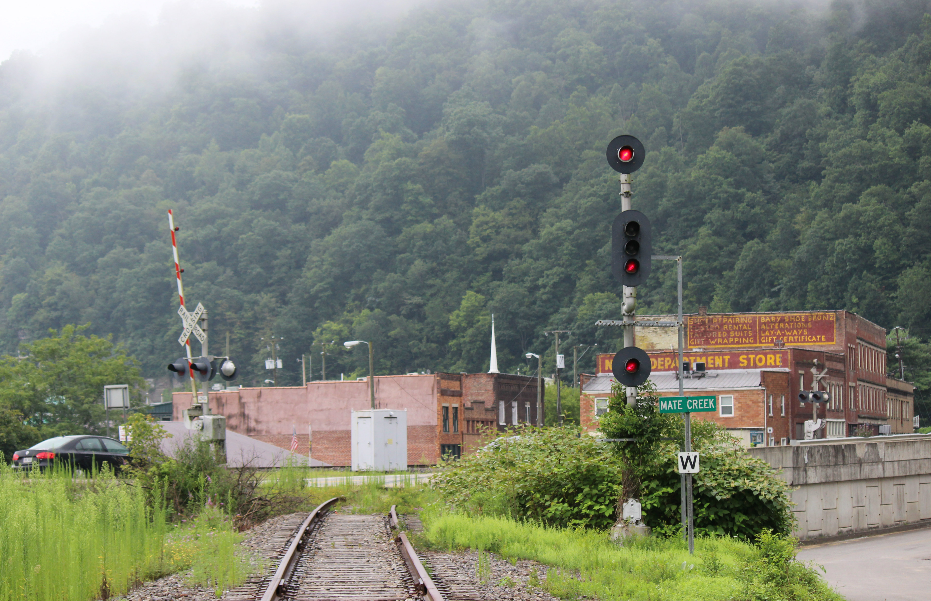
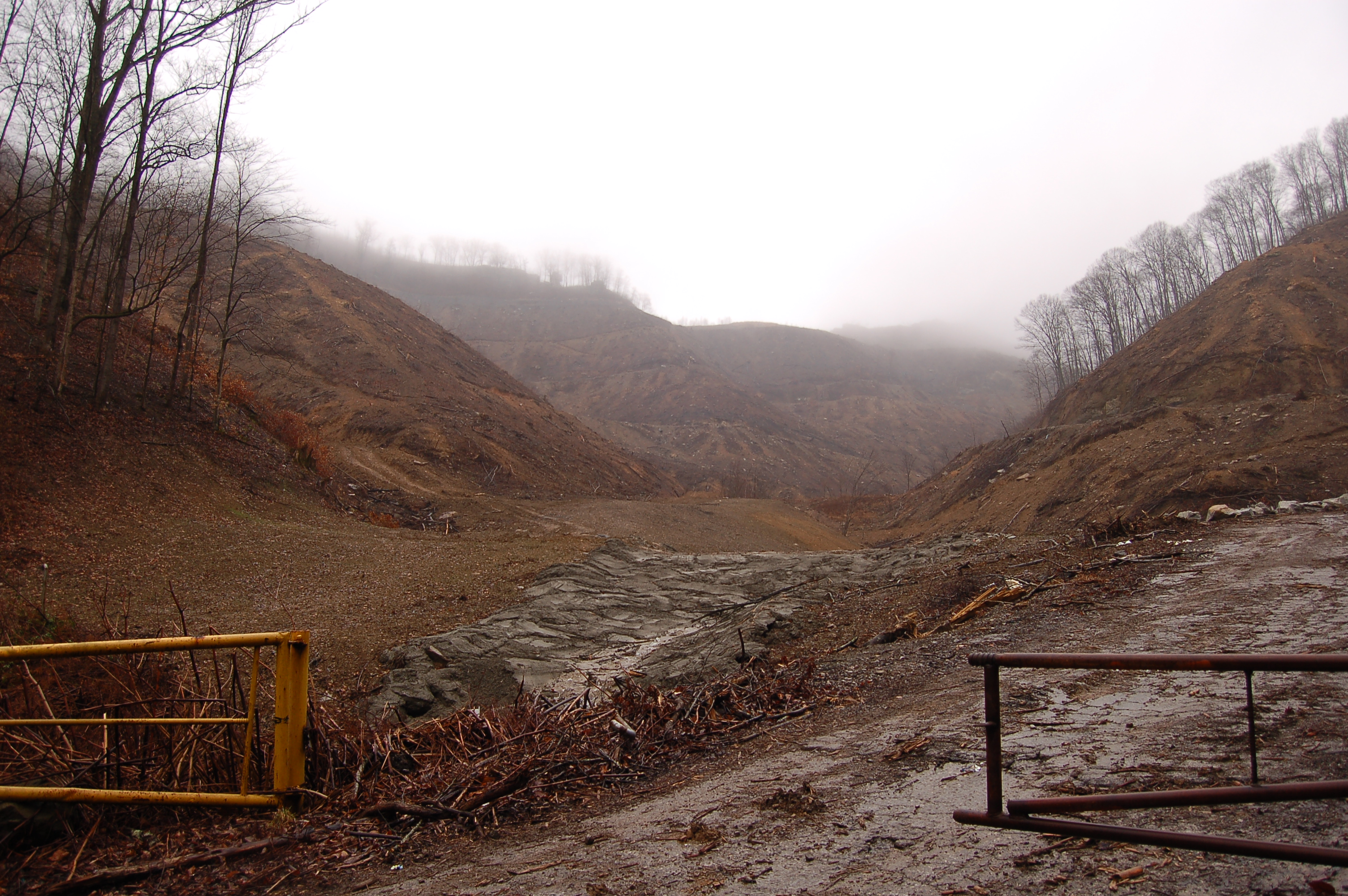
The abandon Mate Creek Branch in Matewan, WV
Killing of Asa Harmon McCoy
Matewan, WV
Topographic Map of US-, Belfry, KY, USA
Find elevation by address:

Places near US-, Belfry, KY, USA:
16 W 4th Ave, Williamson, WV, USA
Williamson
Turkey Creek
Belfry
35 Taylor Fork
440 Hurricane Branch Rd
Winifrede St, Borderland, WV, USA
Williamson
1173 State Hwy 199
Stone
Canada
Buffalo Mountain Trailhead, Hatfield-mccoy Trails
21 Deskins Dr, Williamson, WV, USA
Tug Hardee
WV-49, Delbarton, WV, USA
2665 Meathouse Fork
Delbarton
Buskirk
Mccarr
Matewan
Recent Searches:
- Elevation of Corso Fratelli Cairoli, 35, Macerata MC, Italy
- Elevation of Tallevast Rd, Sarasota, FL, USA
- Elevation of 4th St E, Sonoma, CA, USA
- Elevation of Black Hollow Rd, Pennsdale, PA, USA
- Elevation of Oakland Ave, Williamsport, PA, USA
- Elevation of Pedrógão Grande, Portugal
- Elevation of Klee Dr, Martinsburg, WV, USA
- Elevation of Via Roma, Pieranica CR, Italy
- Elevation of Tavkvetili Mountain, Georgia
- Elevation of Hartfords Bluff Cir, Mt Pleasant, SC, USA