Elevation of US-79, Carthage, TX, USA
Location: United States > Texas >
Longitude: -94.265315
Latitude: 32.1881339
Elevation: 70m / 230feet
Barometric Pressure: 100KPa
Elevation Map:
Satellite Map:
Related Photos:
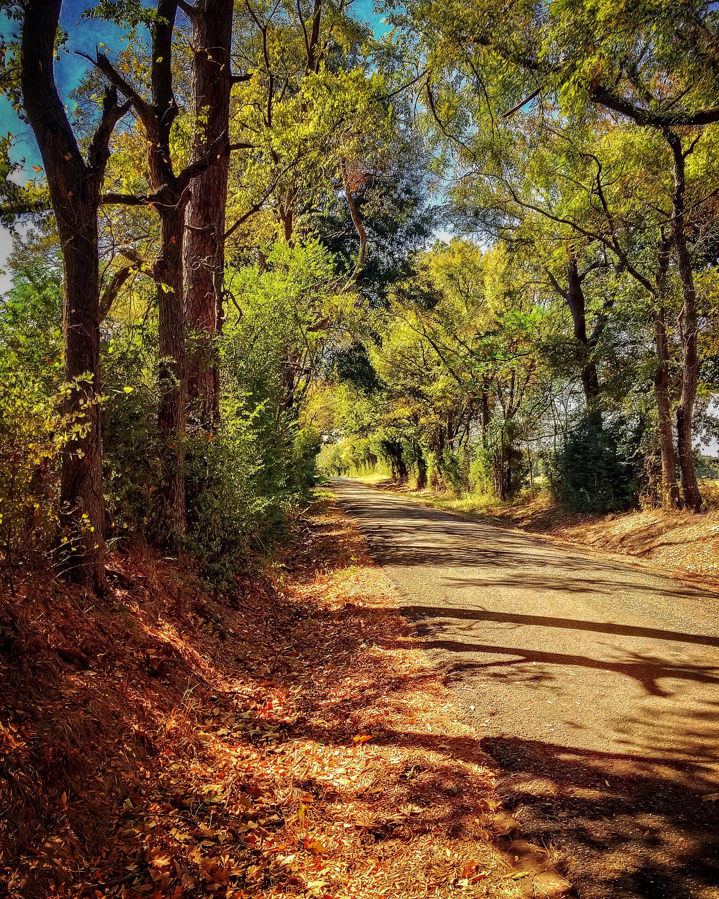
Back to the Past 4: Dixie Lake Road
Back to the Past 13: County Road 103
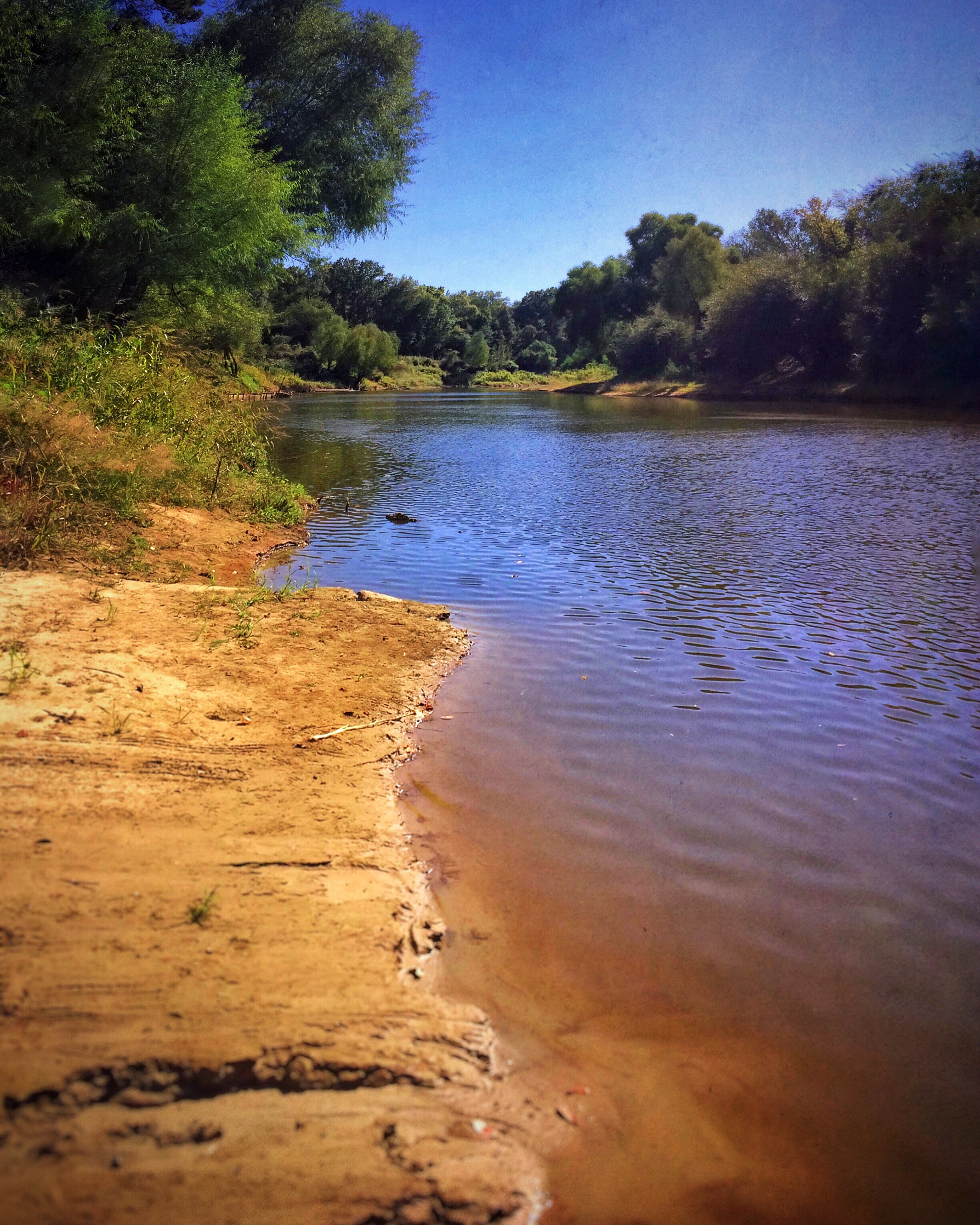
Back to the Past 5: Sabine River
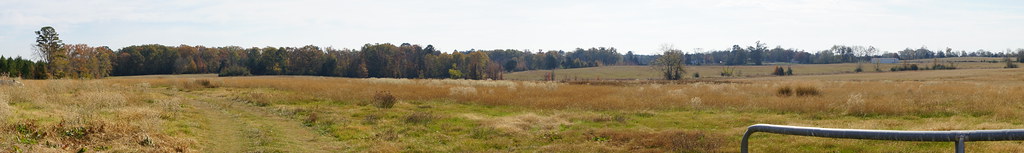
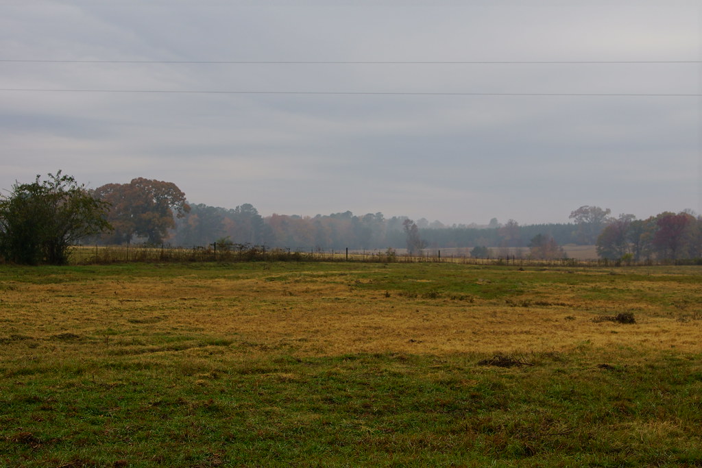
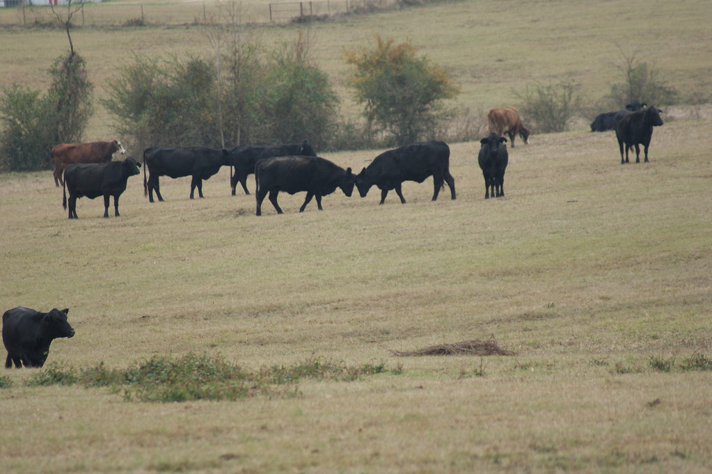
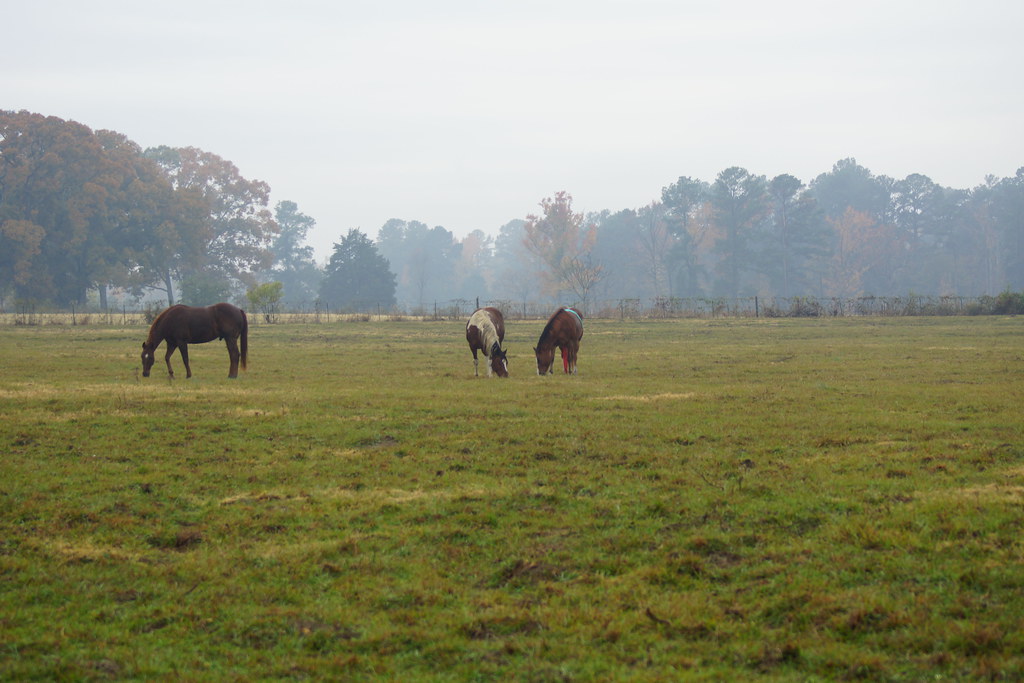
Pasture near the cemetery
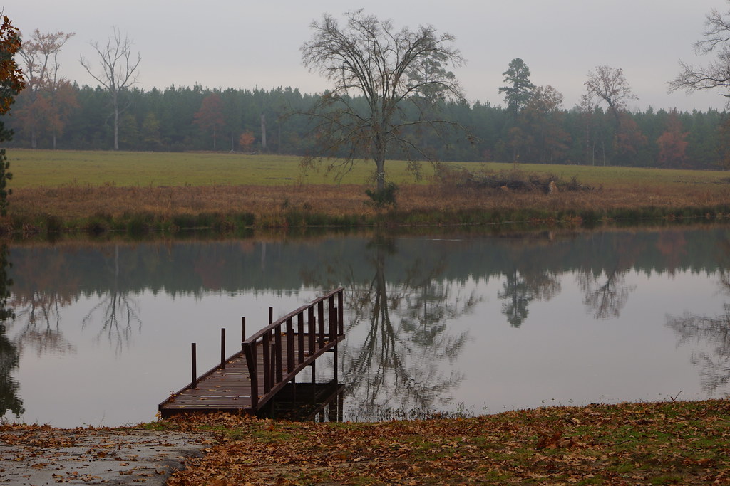
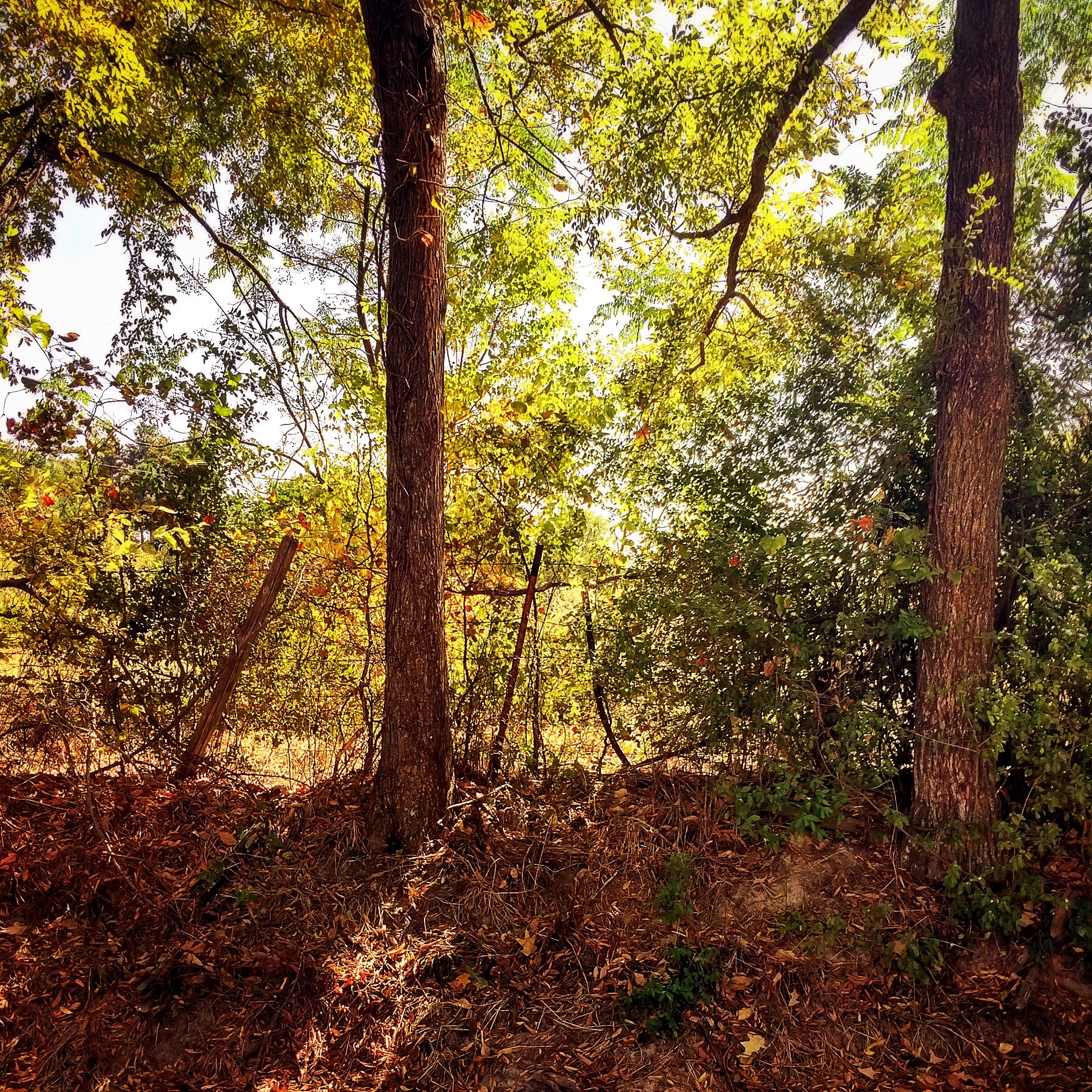
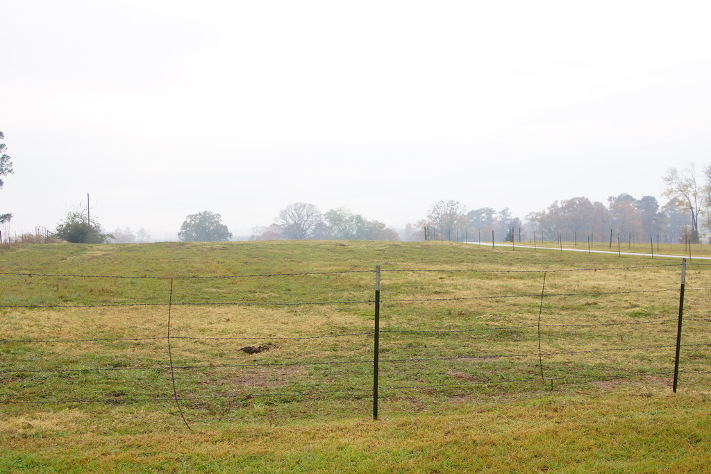
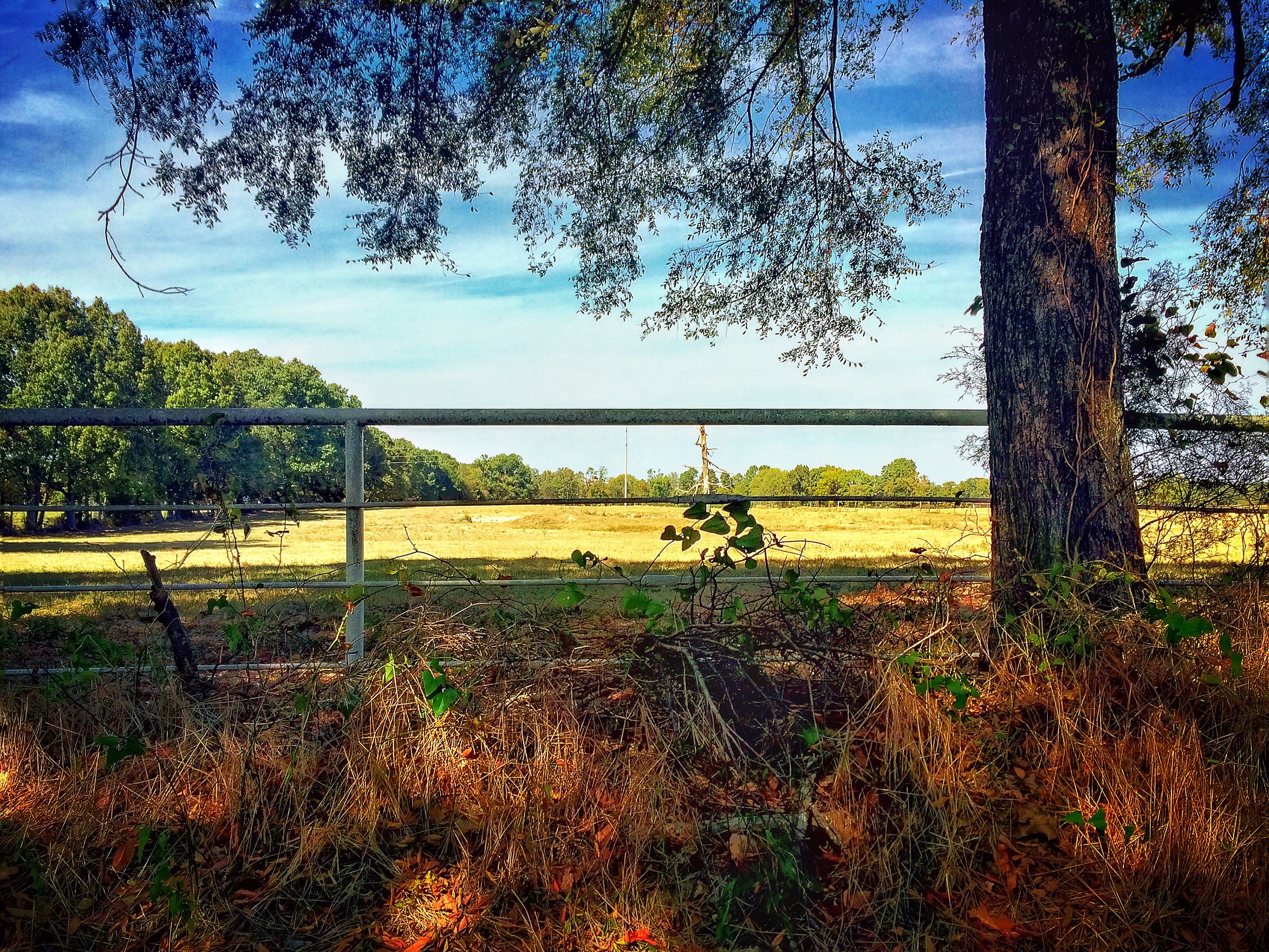
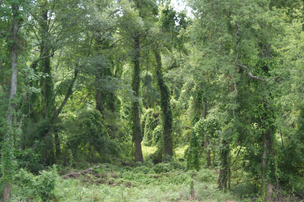
Deadwood, Texas
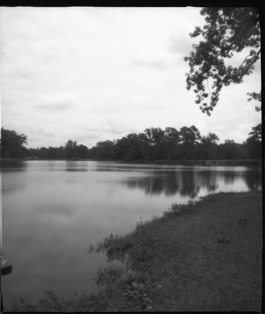
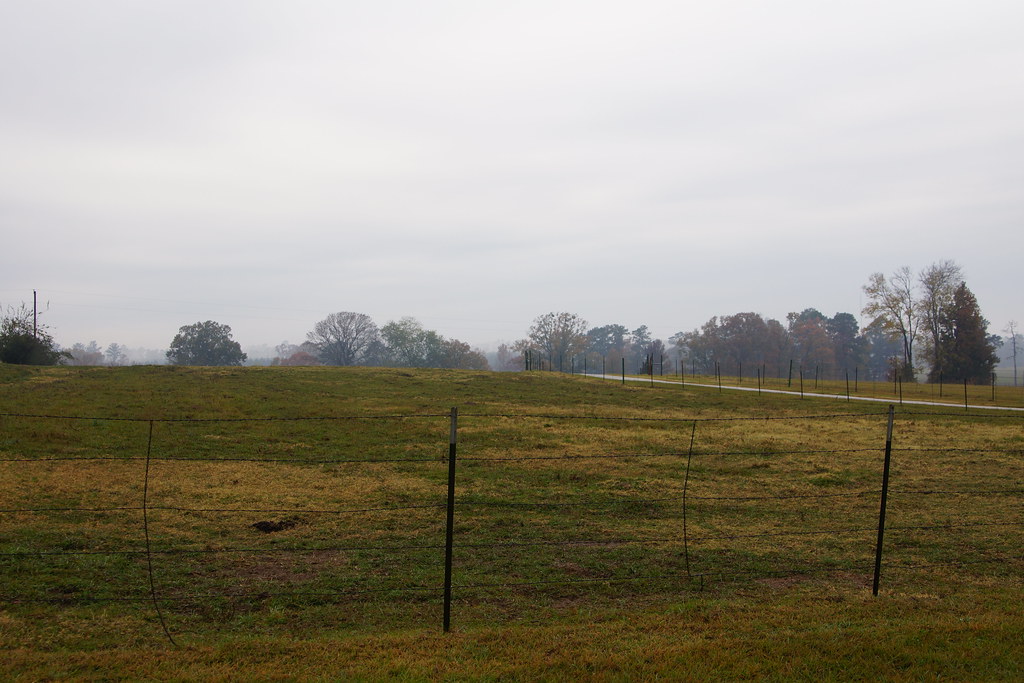
Deadwood, Texas through a pinhole

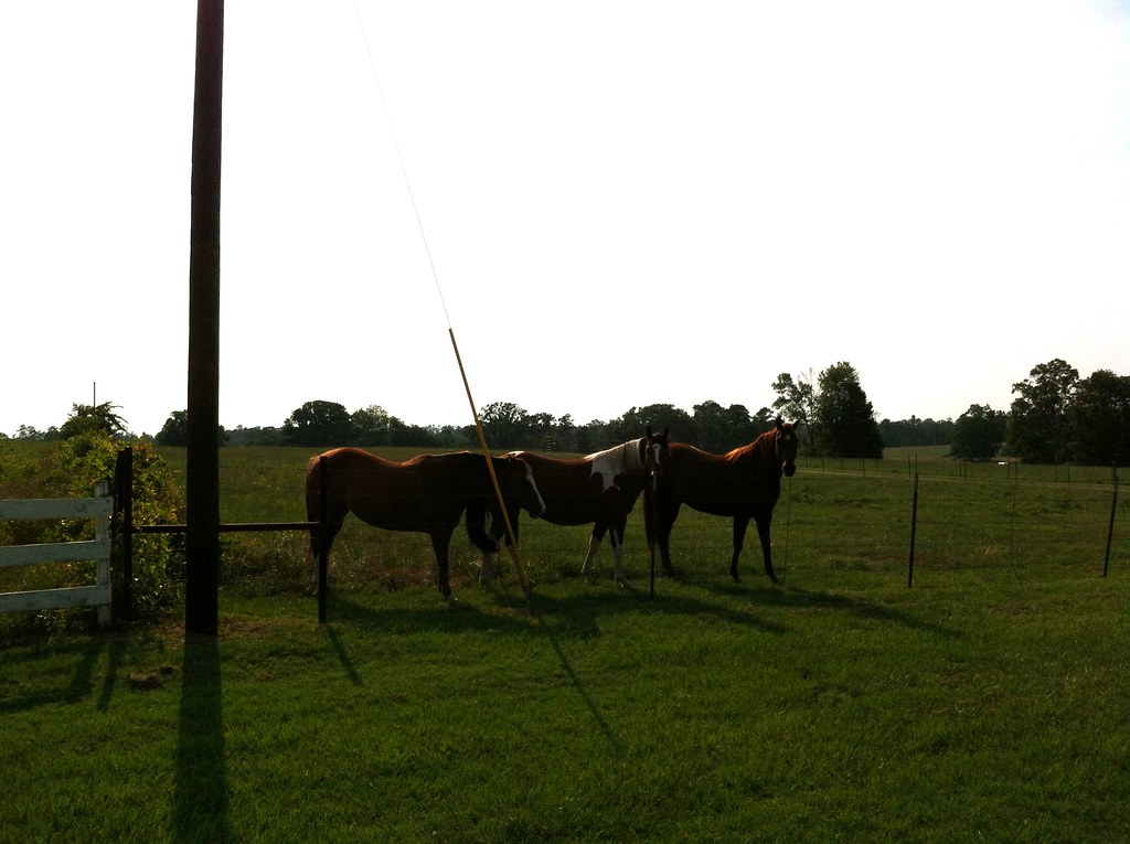
Deadwood Texas, June 2010
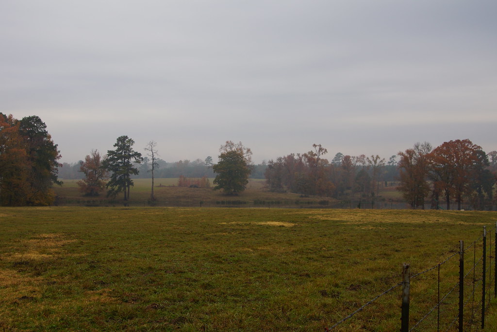
Deadwood, Texas
Deadwood, Texas
Thanksgiving 2008 in East Texas

Deadwood, Texas
Deadwood, Texas
Deadwood, Texas

Thanksgiving 2008 in East Texas
Deadwood, Texas.
Deadwood, Texas

Picture 182
Back to the Past 14: County Road 103

Deadwood, Texas
Deadwood, Texas
Topographic Map of US-79, Carthage, TX, USA
Find elevation by address:

Places near US-79, Carthage, TX, USA:
Panola County
Carthage
Co Rd, Gary City, TX, USA
Beckville
Tenaha
Tatum
Timpson
Co Rd, Tatum, TX, USA
State Hwy 87, Timpson, TX, USA
14504 Fm 782
Fm 782 & Fm 1797
Mccann Branch
FM, Henderson, TX, USA
FM 95, Mt Enterprise, TX, USA
Garrison
Co Rd, Center, TX, USA
Fm, Garrison, TX, USA
Mount Enterprise
402 E Main St
Henderson
Recent Searches:
- Elevation of Corso Fratelli Cairoli, 35, Macerata MC, Italy
- Elevation of Tallevast Rd, Sarasota, FL, USA
- Elevation of 4th St E, Sonoma, CA, USA
- Elevation of Black Hollow Rd, Pennsdale, PA, USA
- Elevation of Oakland Ave, Williamsport, PA, USA
- Elevation of Pedrógão Grande, Portugal
- Elevation of Klee Dr, Martinsburg, WV, USA
- Elevation of Via Roma, Pieranica CR, Italy
- Elevation of Tavkvetili Mountain, Georgia
- Elevation of Hartfords Bluff Cir, Mt Pleasant, SC, USA