Elevation of Garrison, TX, USA
Location: United States > Texas > Nacogdoches County >
Longitude: -94.491039
Latitude: 31.8243402
Elevation: 118m / 387feet
Barometric Pressure: 100KPa
Elevation Map:
Satellite Map:
Related Photos:

The view from the hills in southern Rusk County. They sicken of the calm, who know the storm.
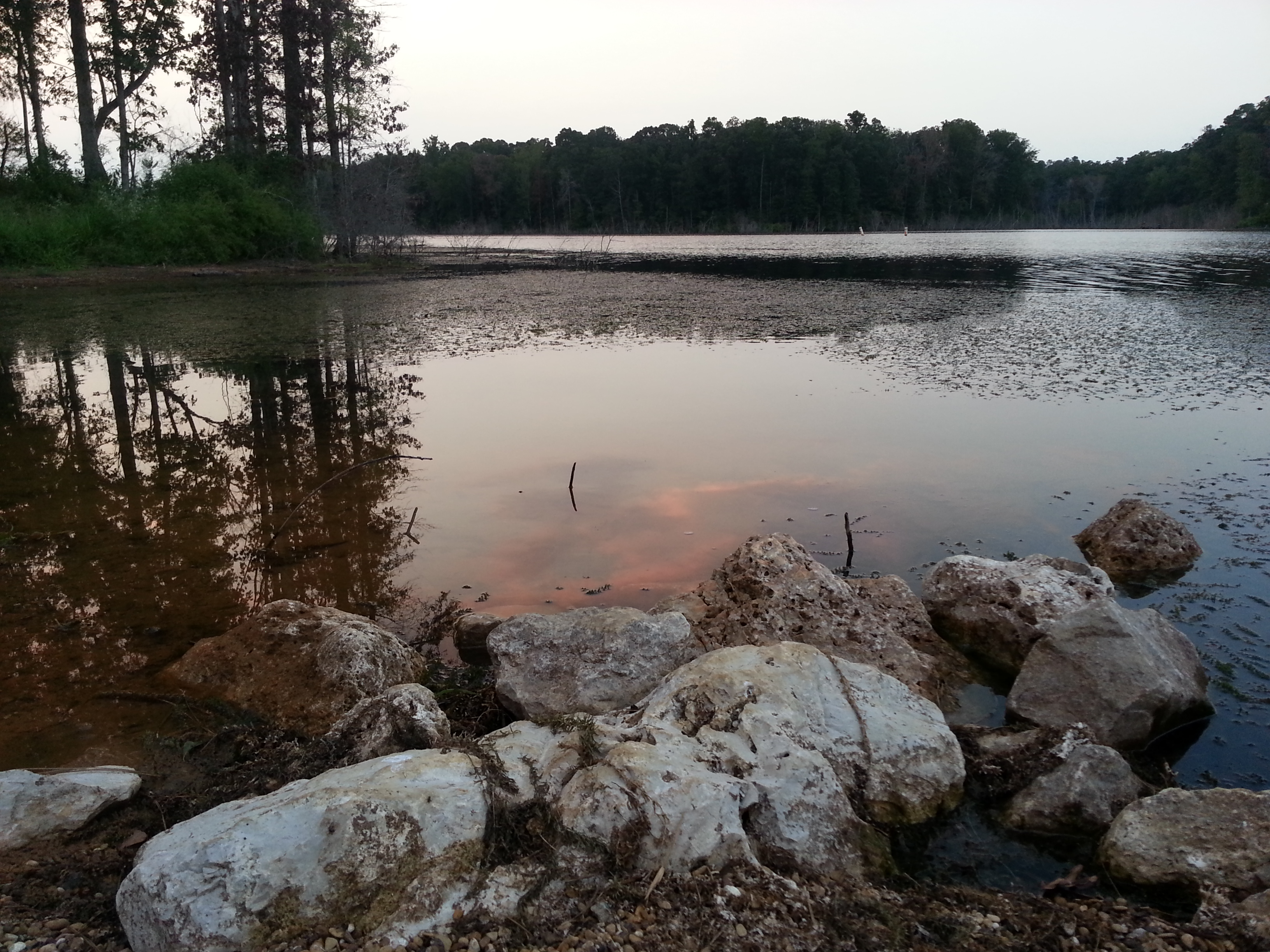
Evening 2
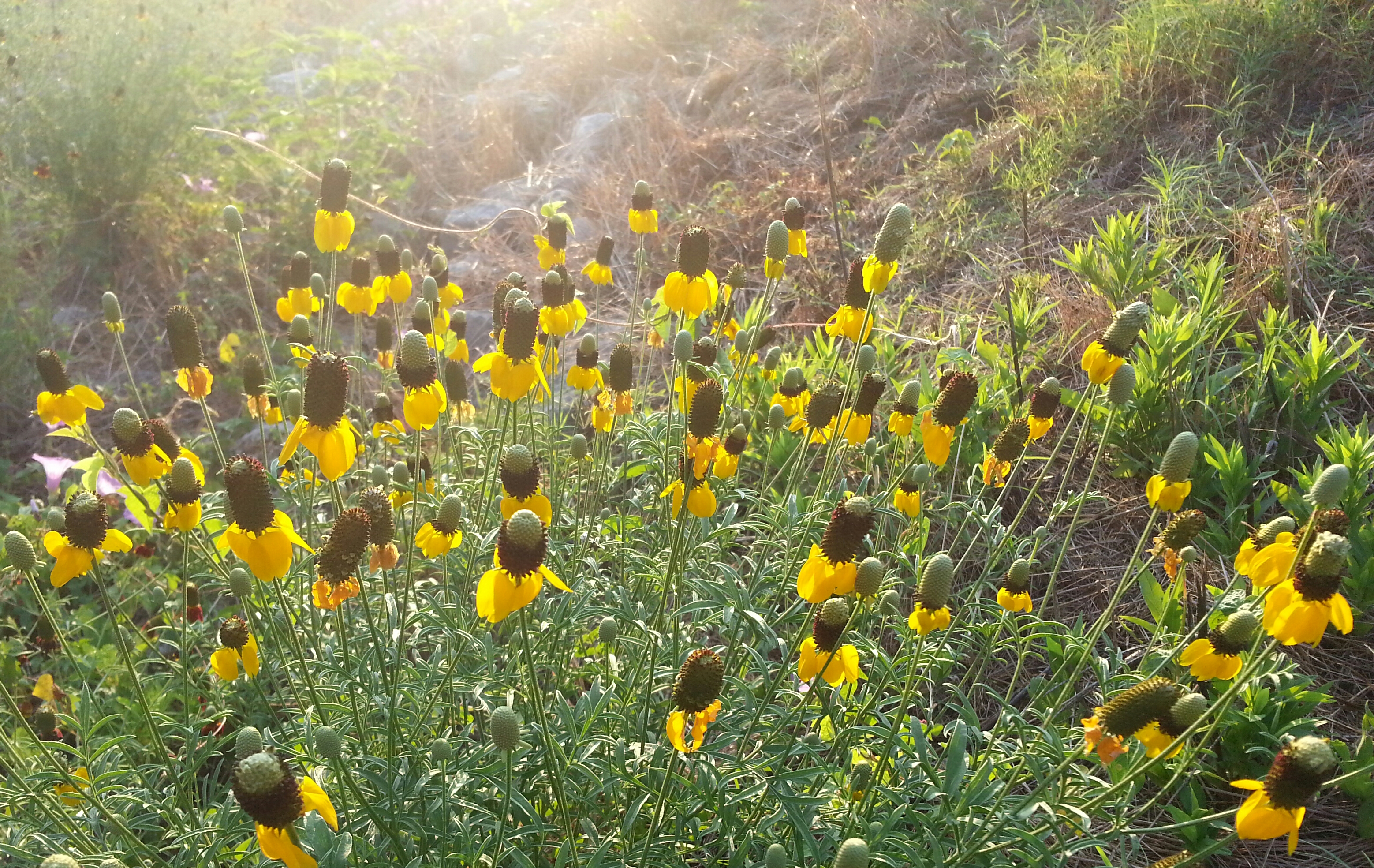
Rise and Shine

farm field

Can you gear me now? #noverizonLTE
2016-02-03_08-54-19
2015-12-31_01-32-17
Topographic Map of Garrison, TX, USA
Find elevation by address:

Places in Garrison, TX, USA:
Places near Garrison, TX, USA:
Fm, Garrison, TX, USA
Timpson
FM 95, Mt Enterprise, TX, USA
State Hwy 87, Timpson, TX, USA
TX-7, Center, TX, USA
Martinsville
466 Duffin Ln
TX-7, Nacogdoches, TX, USA
Swift
US-, Nacogdoches, TX, USA
Mount Enterprise
3900 Parkwood Dr
5213 Scenic Dr
10317 Us-259
4310 Appleby Sand Rd
3804 Kings Row Dr
3607 Tudor Dr
3605 Tudor Dr
3605 Tudor Dr
3605 Tudor Dr
Recent Searches:
- Elevation of Corso Fratelli Cairoli, 35, Macerata MC, Italy
- Elevation of Tallevast Rd, Sarasota, FL, USA
- Elevation of 4th St E, Sonoma, CA, USA
- Elevation of Black Hollow Rd, Pennsdale, PA, USA
- Elevation of Oakland Ave, Williamsport, PA, USA
- Elevation of Pedrógão Grande, Portugal
- Elevation of Klee Dr, Martinsburg, WV, USA
- Elevation of Via Roma, Pieranica CR, Italy
- Elevation of Tavkvetili Mountain, Georgia
- Elevation of Hartfords Bluff Cir, Mt Pleasant, SC, USA