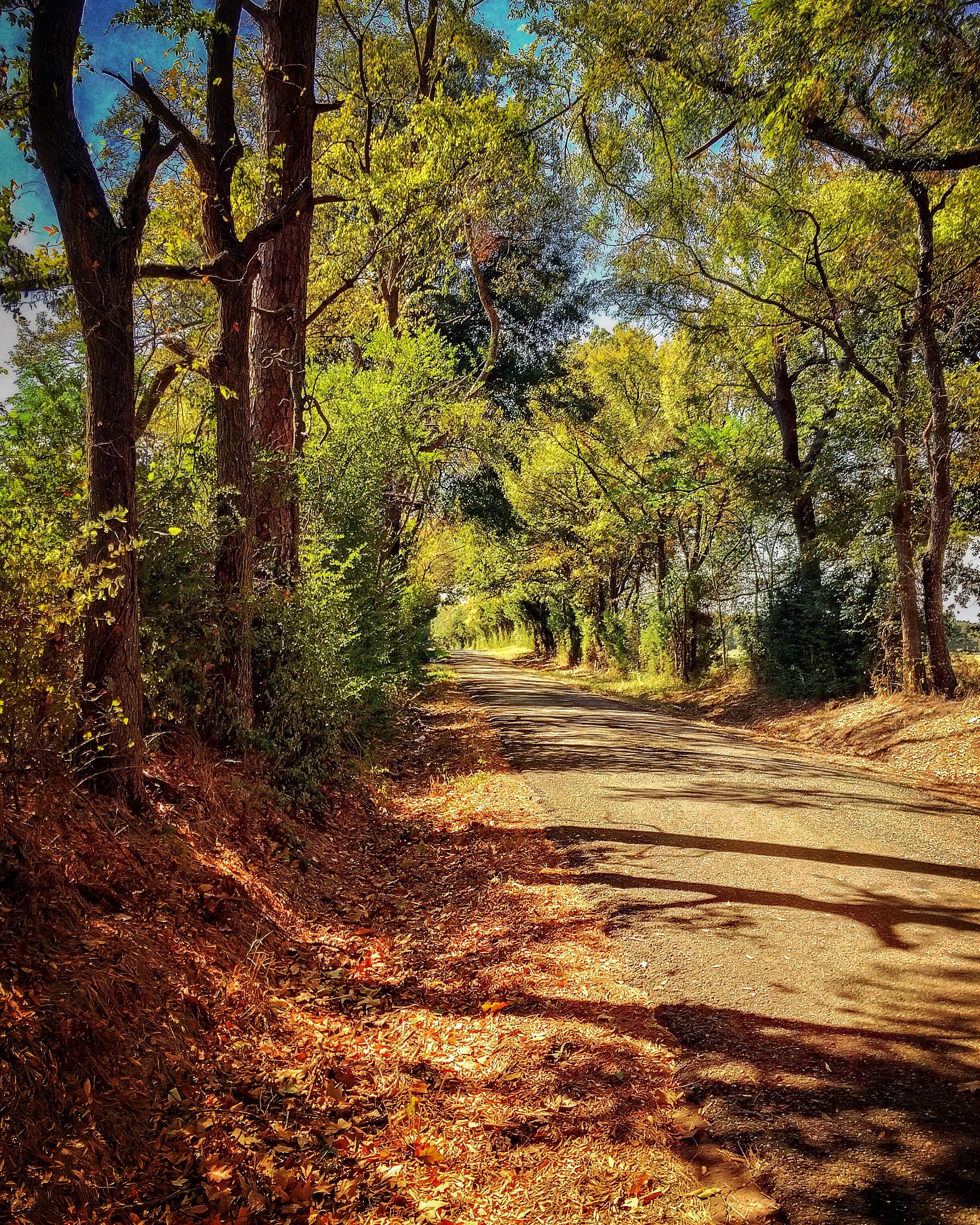
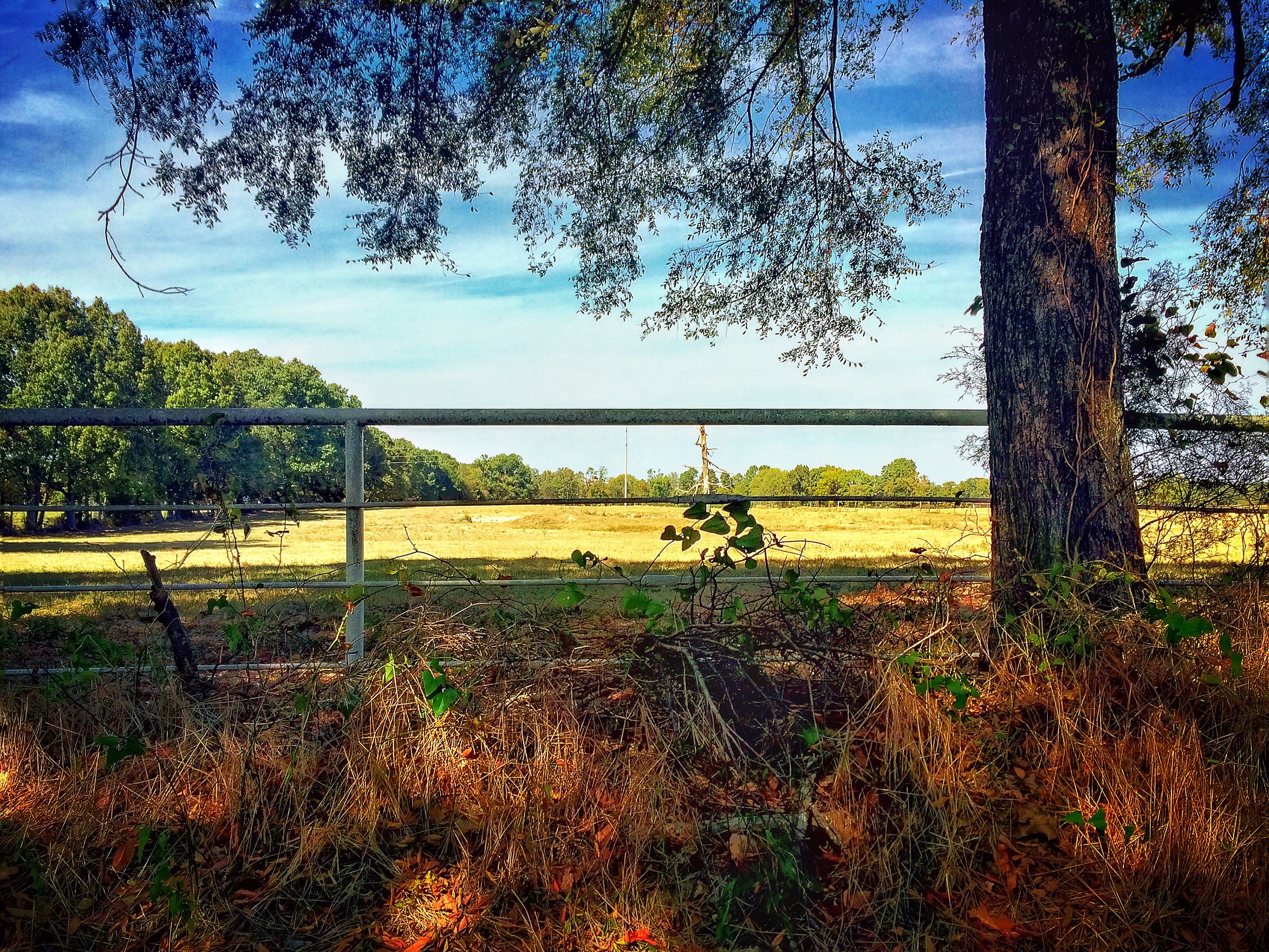
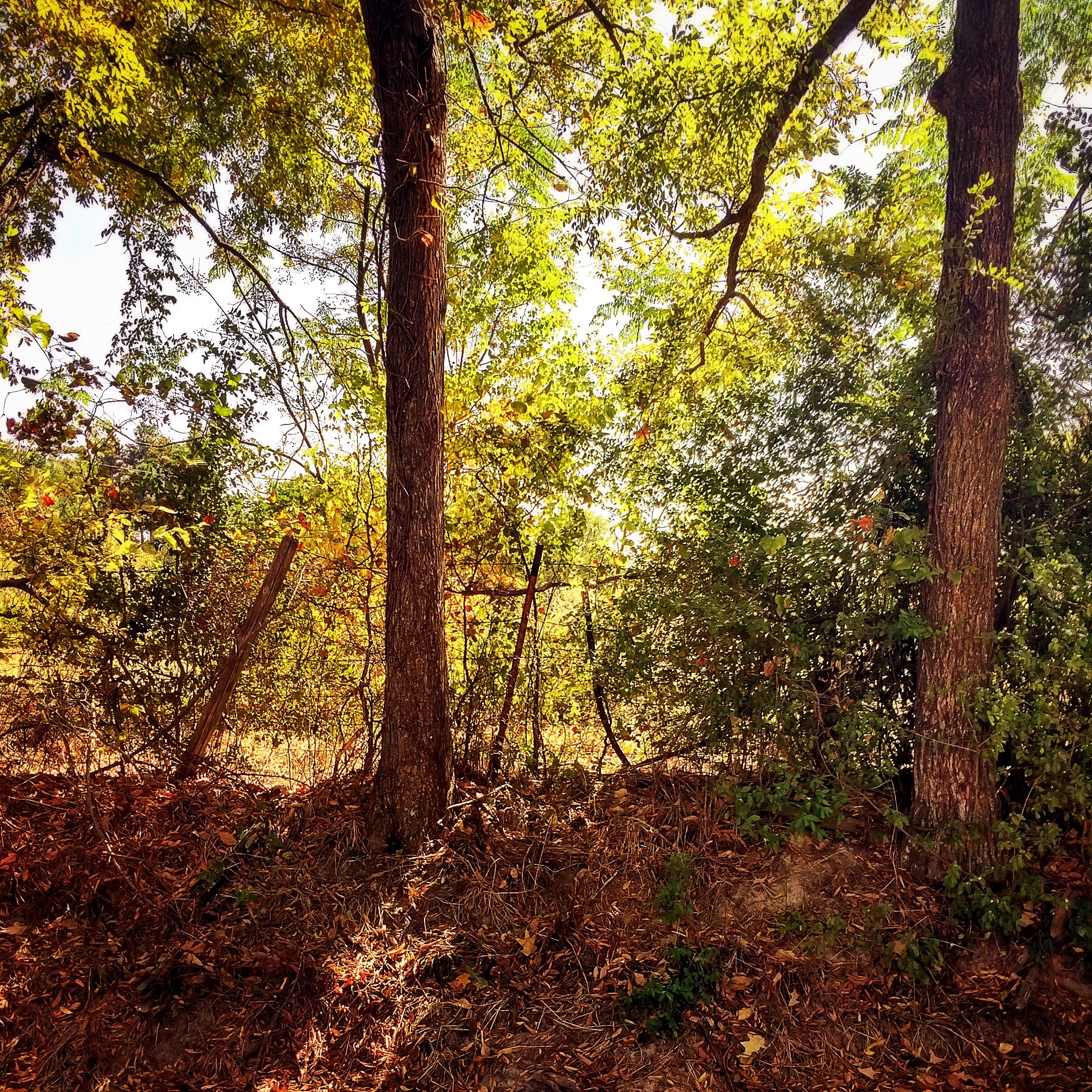
Elevation of Co Rd, Gary City, TX, USA
Location: United States > Texas >
Longitude: -94.357707
Latitude: 32.0670751
Elevation: 87m / 285feet
Barometric Pressure: 100KPa
Elevation Map:
Satellite Map:
Related Photos:
Back to the Past 4: Dixie Lake Road
Back to the Past 14: County Road 103
Back to the Past 13: County Road 103
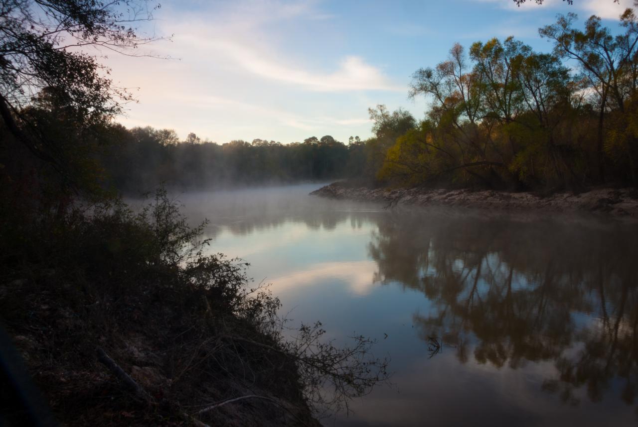
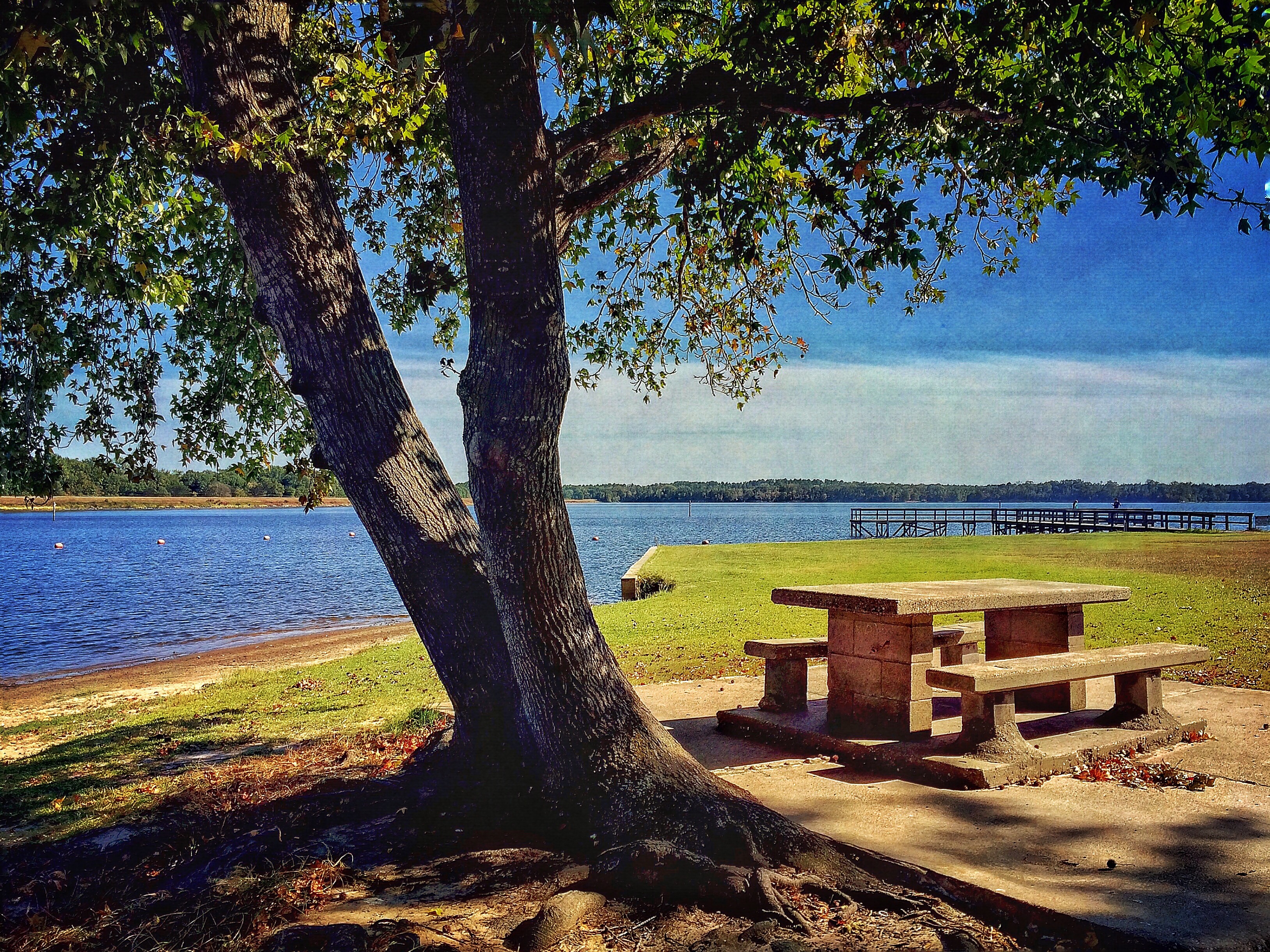
Sabine River
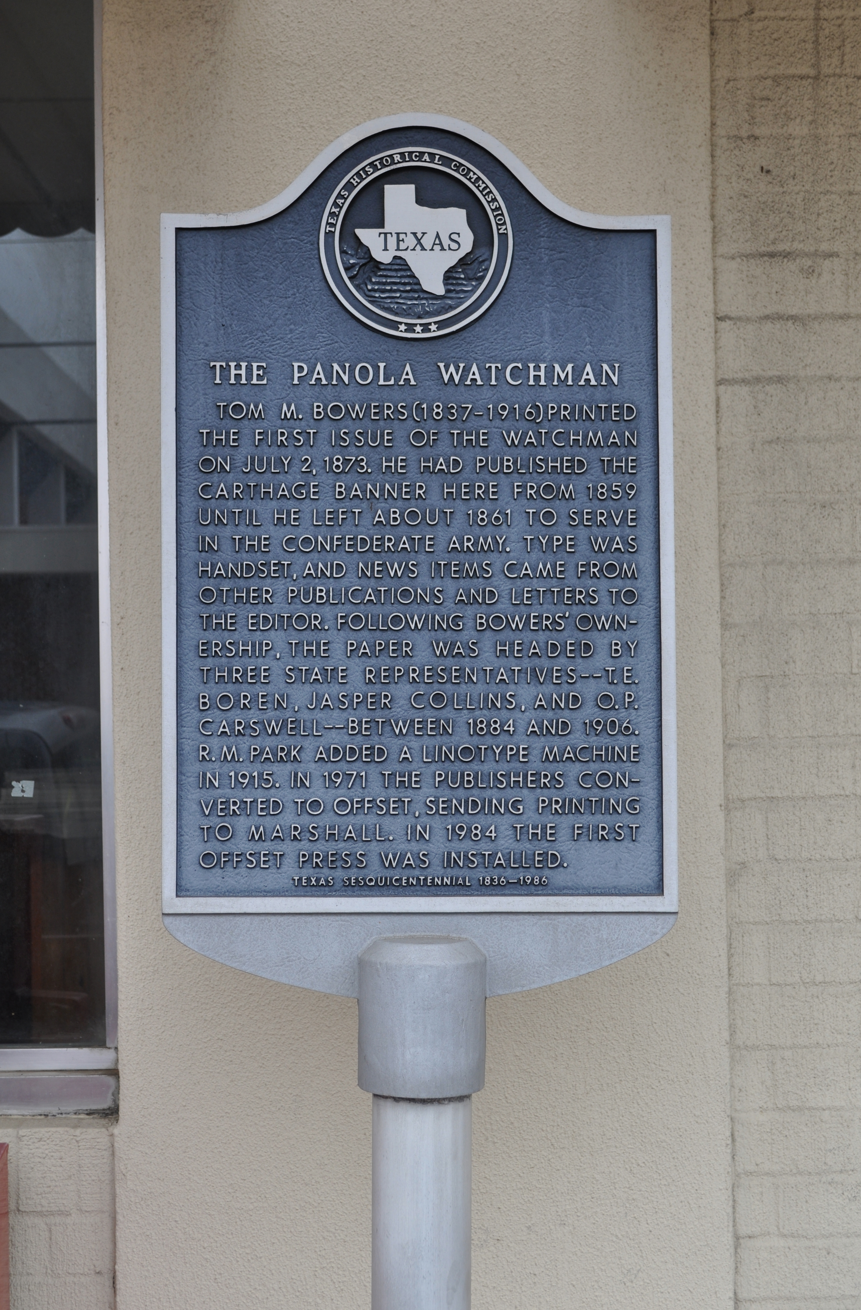
The Panola Watchman
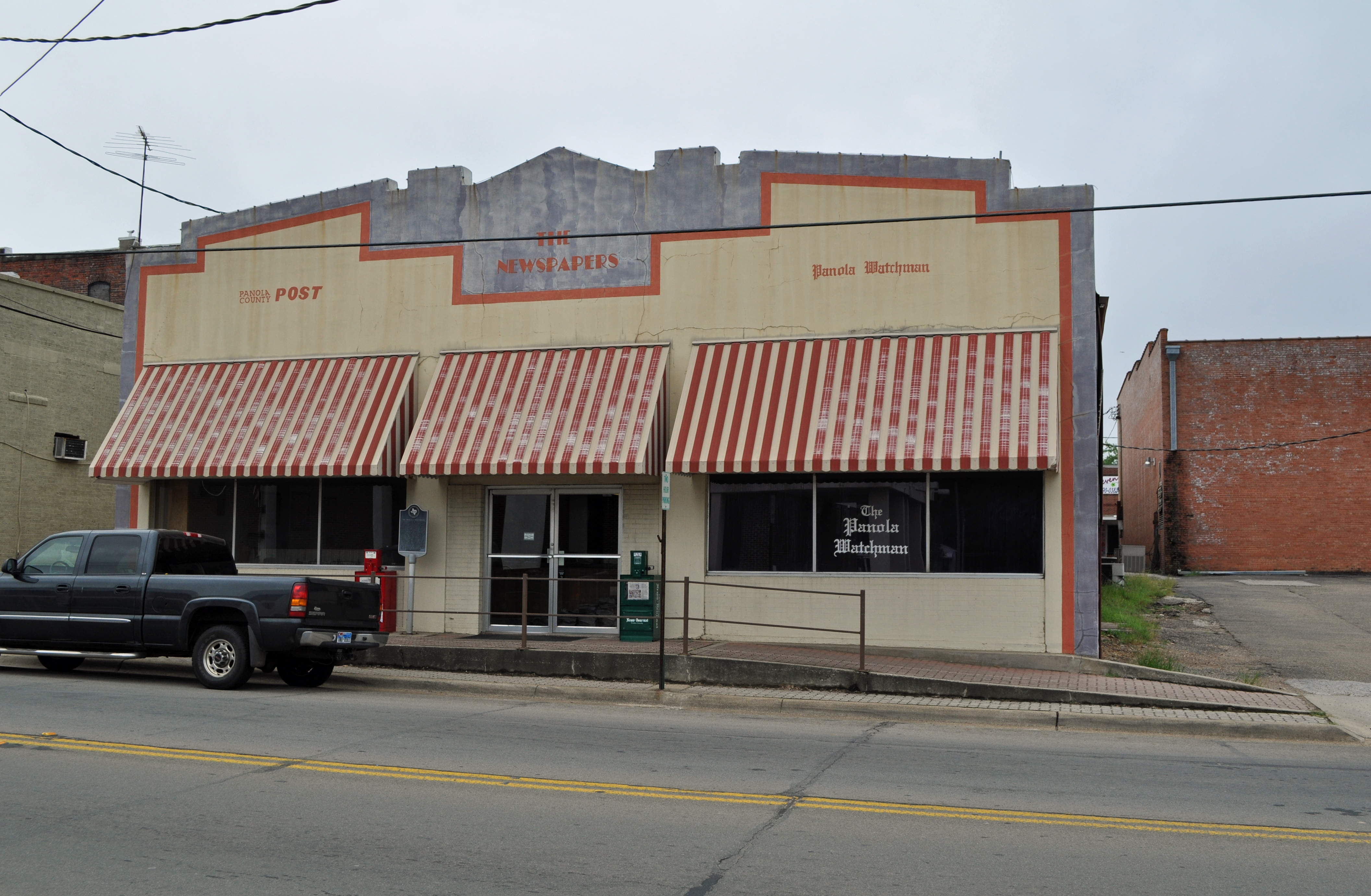
Panola Watchman
Carthage, Texas
Carthage, Texas
Back to the Past 12
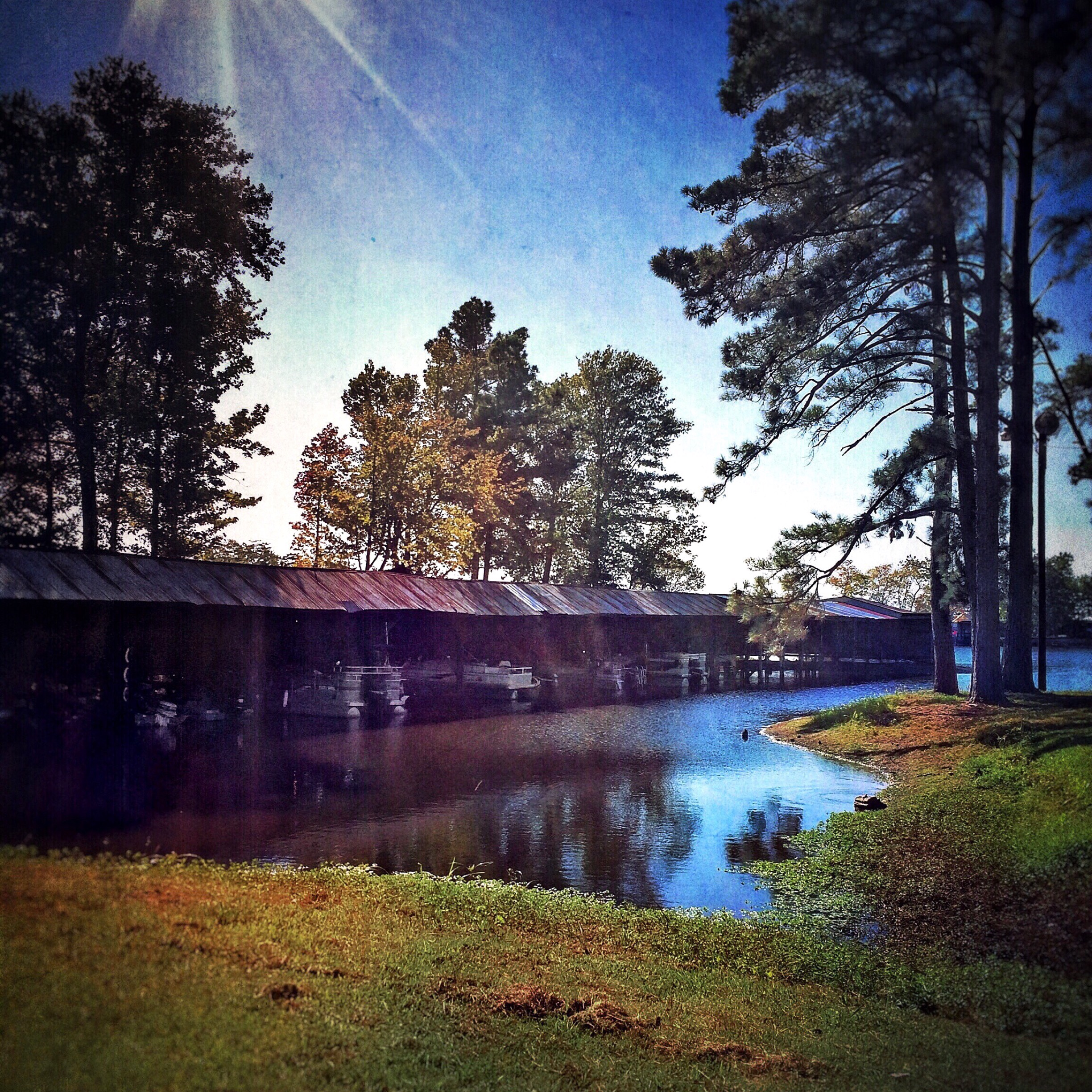
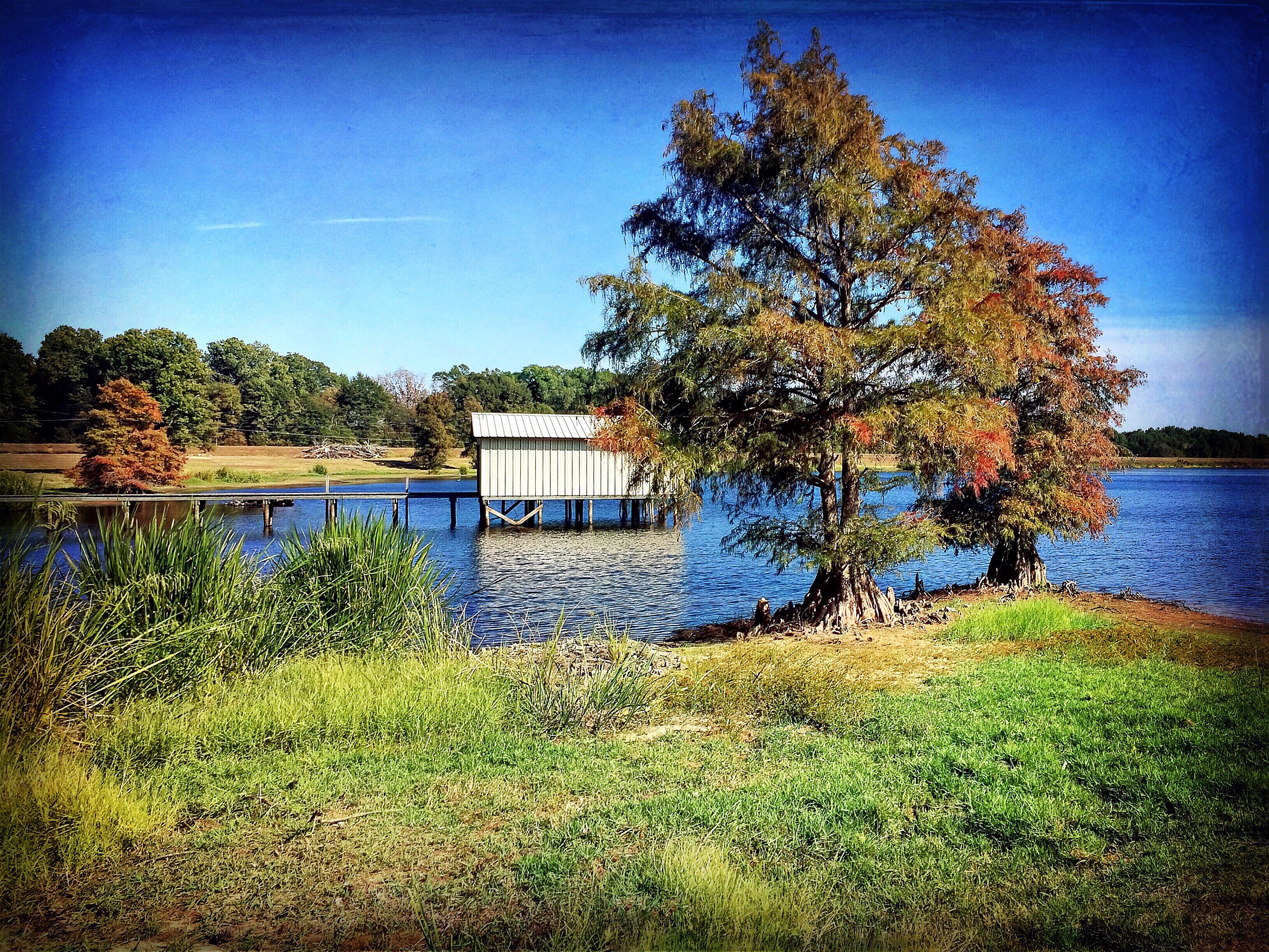
Back to the Past 11: Doodlebug Marina
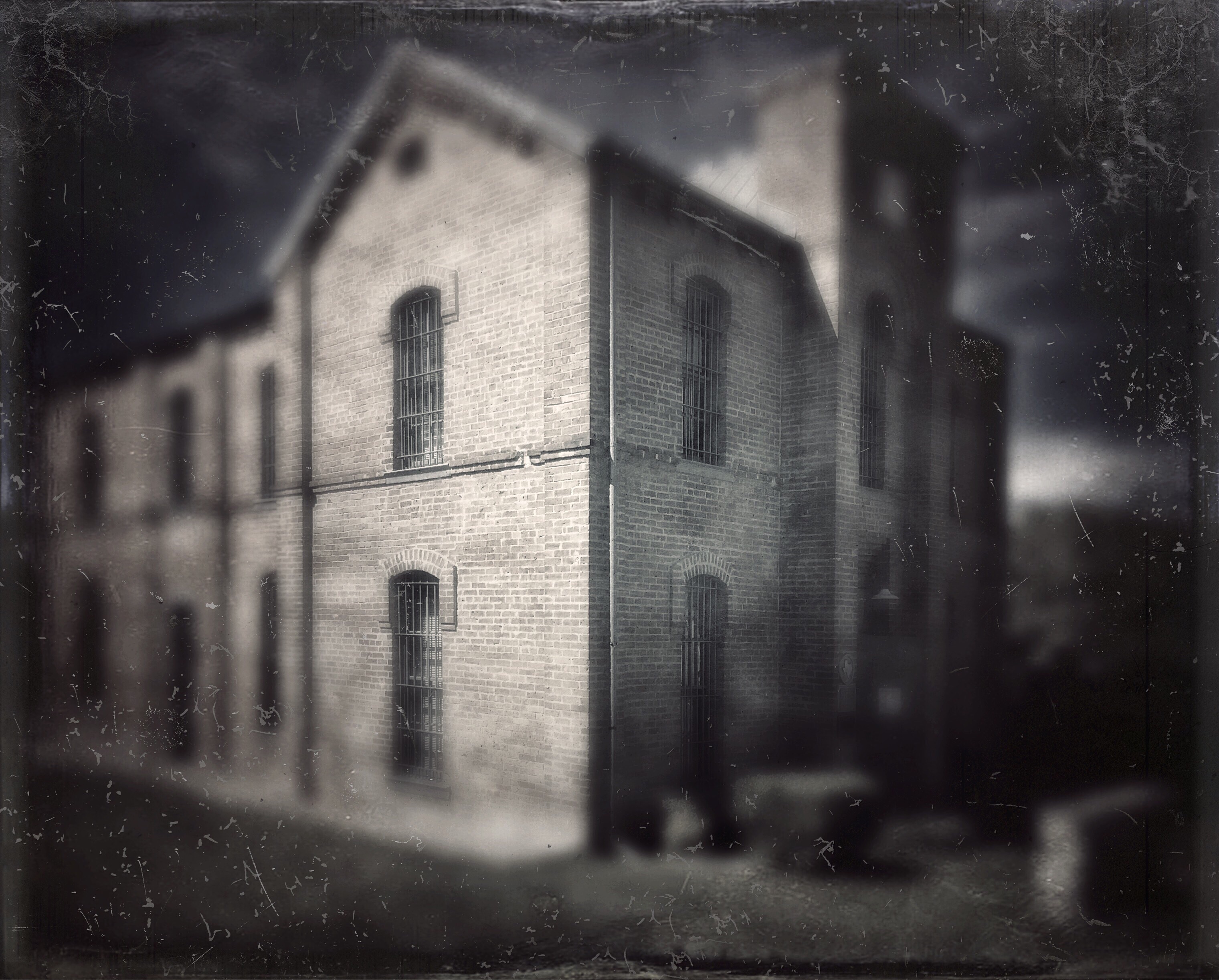
Back to the Past 9: 1891 Panola (Texas) County Jail
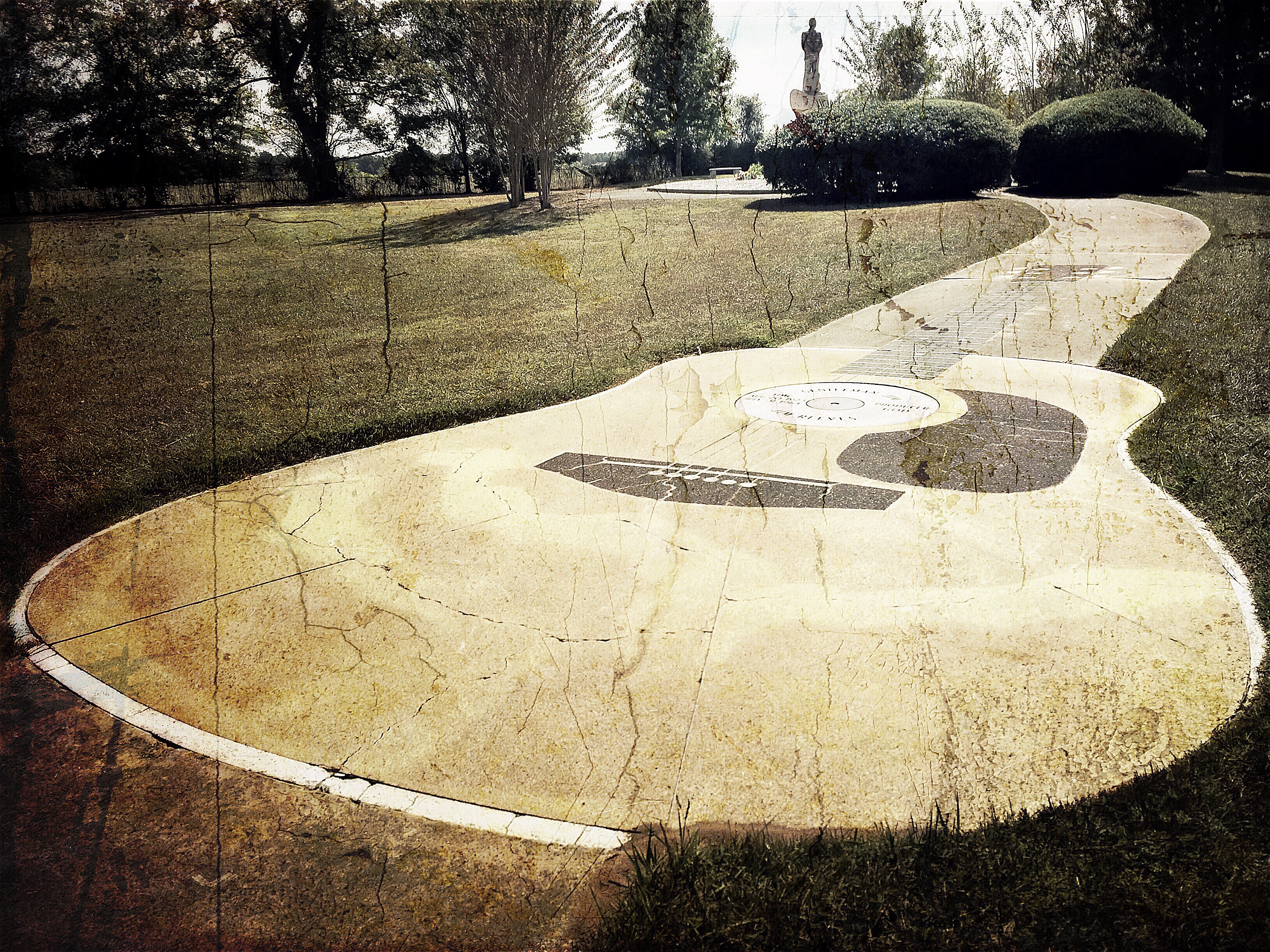
Back to the Past 8: Jim Reeves Memorial and Grave

Back to the Past 6: Doodlebug Marina

Back to the Past 3: Esquire Theater
Back to the Past 2: Doodlebug Marina

Back to the Past 1: Panola County Courthouse

TEXAS!

Panola - Carthage

Fun- jet skiing & swimming at aunt charlotte's with Alexis, Desiree, Madison, John, Chris, Justin, Kindle and Wade...

Getting our nails done...

Carthage - Panola Co. Courthouse
Topographic Map of Co Rd, Gary City, TX, USA
Find elevation by address:

Places near Co Rd, Gary City, TX, USA:
Carthage
Panola County
US-79, Carthage, TX, USA
Timpson
Tenaha
Beckville
State Hwy 87, Timpson, TX, USA
FM 95, Mt Enterprise, TX, USA
Garrison
Mccann Branch
Tatum
Co Rd, Tatum, TX, USA
Fm, Garrison, TX, USA
FM, Henderson, TX, USA
Mount Enterprise
Fm 782 & Fm 1797
14504 Fm 782
Co Rd, Center, TX, USA
TX-7, Center, TX, USA
Martinsville
Recent Searches:
- Elevation of Corso Fratelli Cairoli, 35, Macerata MC, Italy
- Elevation of Tallevast Rd, Sarasota, FL, USA
- Elevation of 4th St E, Sonoma, CA, USA
- Elevation of Black Hollow Rd, Pennsdale, PA, USA
- Elevation of Oakland Ave, Williamsport, PA, USA
- Elevation of Pedrógão Grande, Portugal
- Elevation of Klee Dr, Martinsburg, WV, USA
- Elevation of Via Roma, Pieranica CR, Italy
- Elevation of Tavkvetili Mountain, Georgia
- Elevation of Hartfords Bluff Cir, Mt Pleasant, SC, USA