Elevation of US-71, Mountainburg, AR, USA
Location: United States > Arkansas > Crawford County > Chester > Chester >
Longitude: -94.147092
Latitude: 35.6942028
Elevation: 456m / 1496feet
Barometric Pressure: 96KPa
Elevation Map:
Satellite Map:
Related Photos:
I could hear the earth's chorus and all I could do was cry for the beauty and the pain.
Death is Like This & I'm Sorry for Them All (9-11 attacks were 11 years ago today).
took the scenic route from Fayetteville to Ft. Smith so I could stop and take in my favorite view -- I got this fog and a scary drive instead. ????
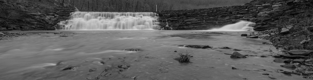
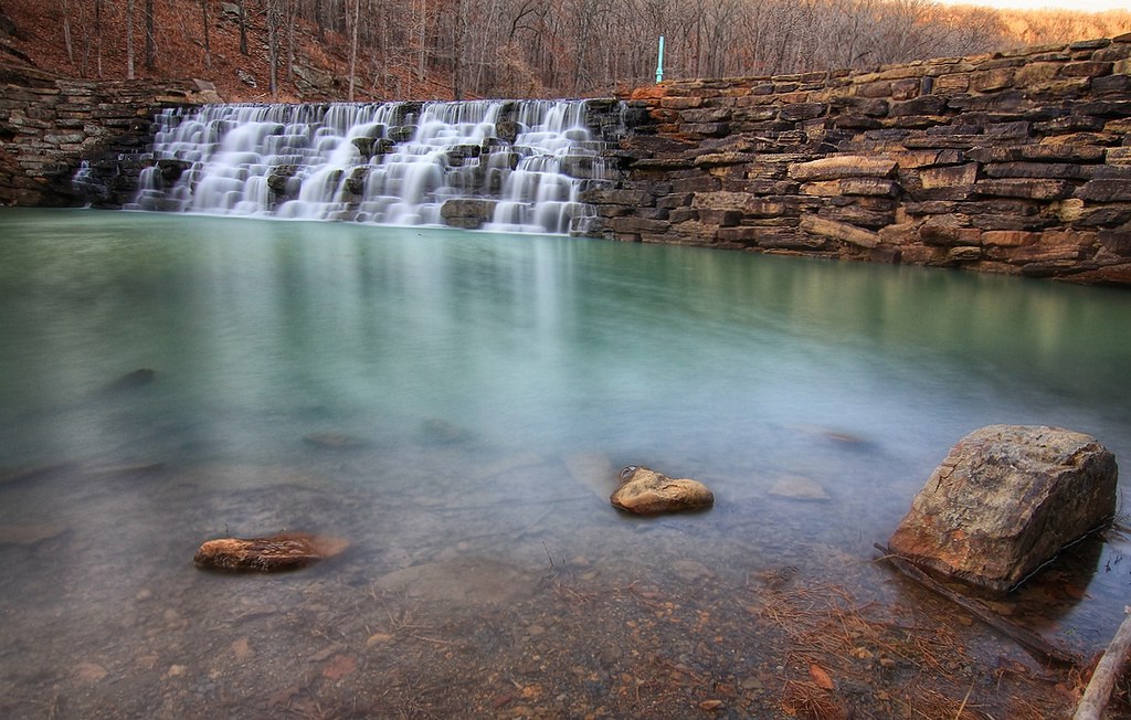
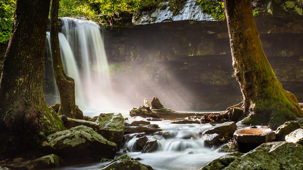
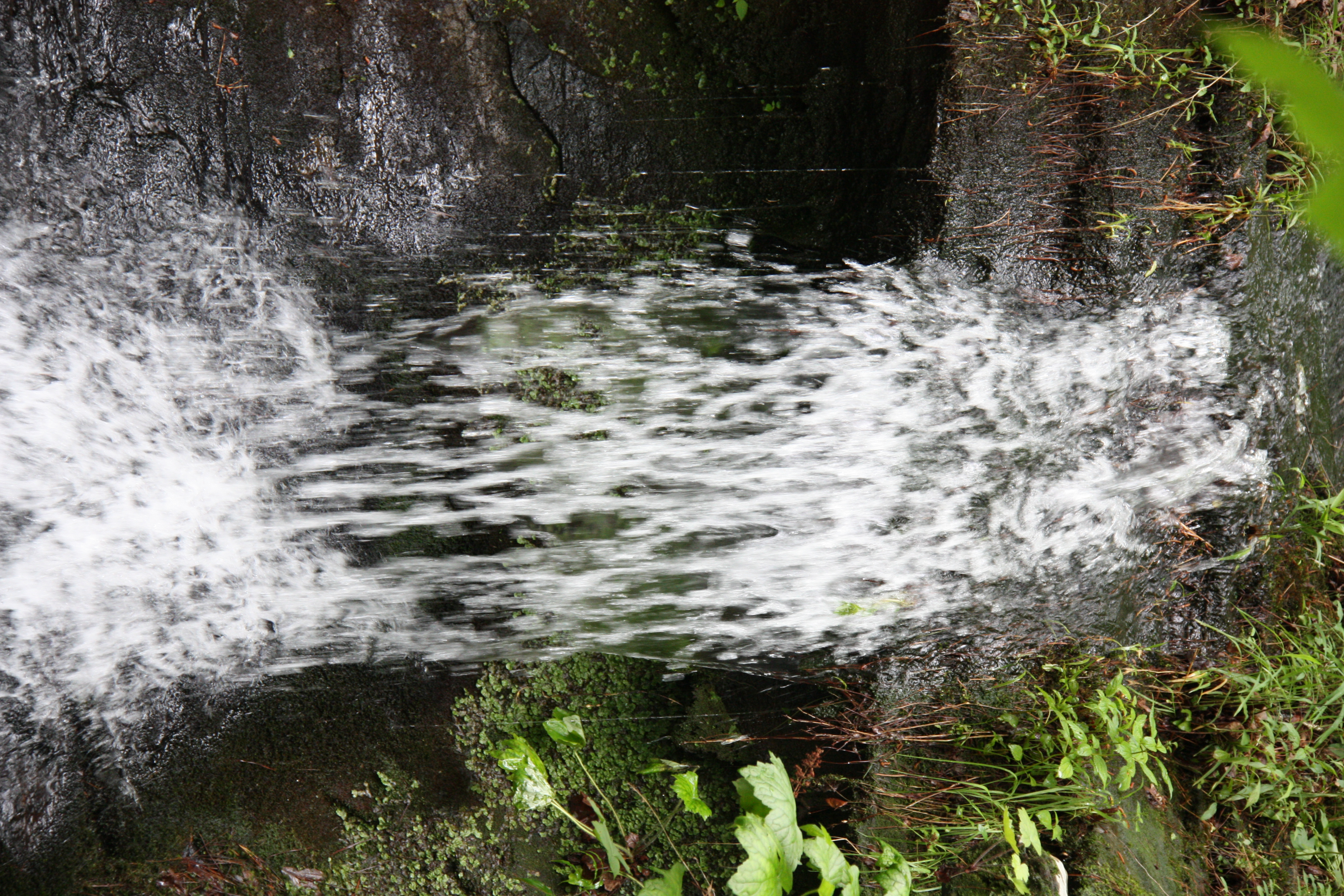
Devil's Den Spillway
"It's gonna get a little smokey..."
Butterfield View
Panorama View of Lee Creek Vally at Yellow Rock Viewpoint

Frog Bayou Side View
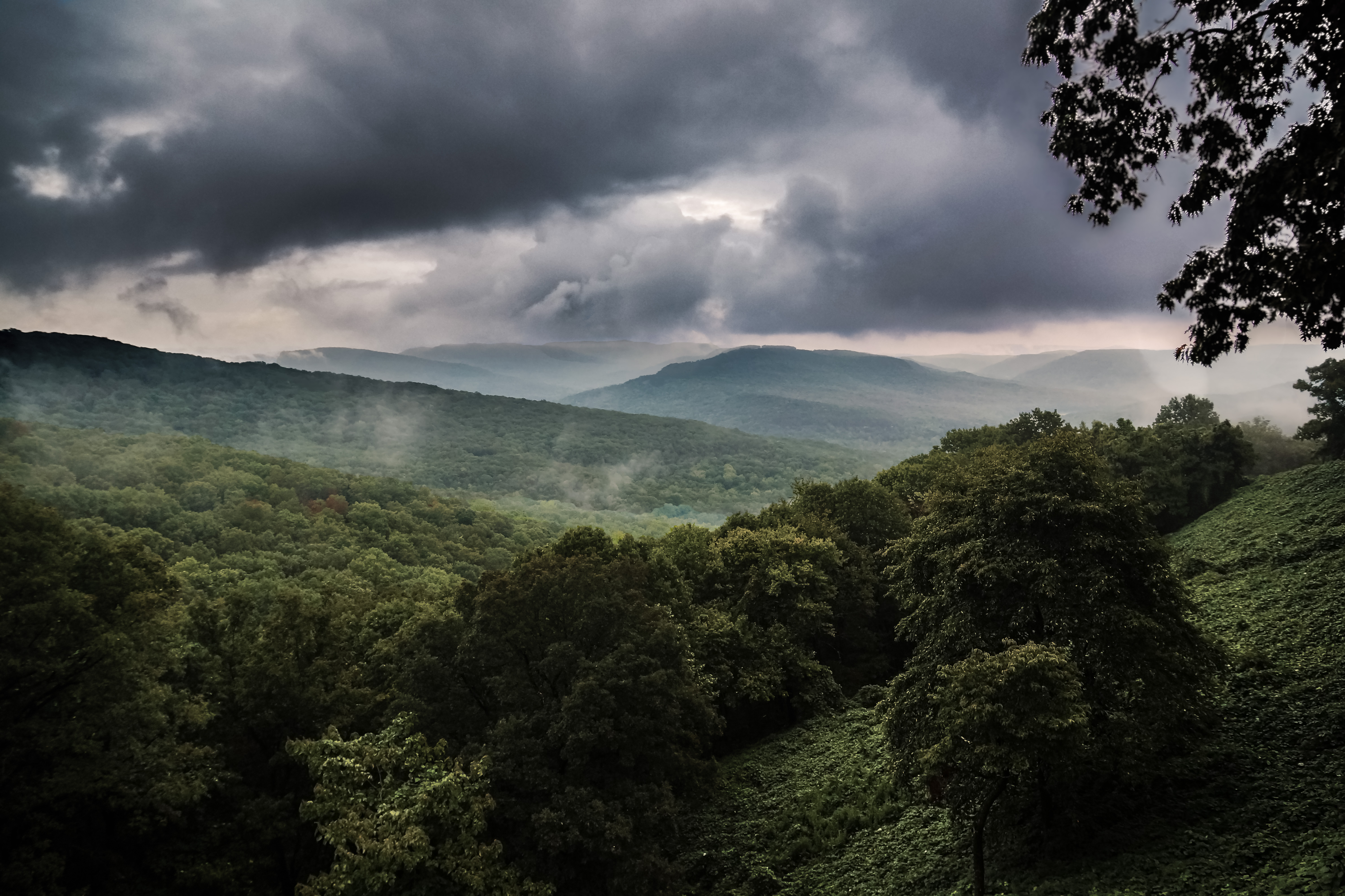
View from the CCC Overlook
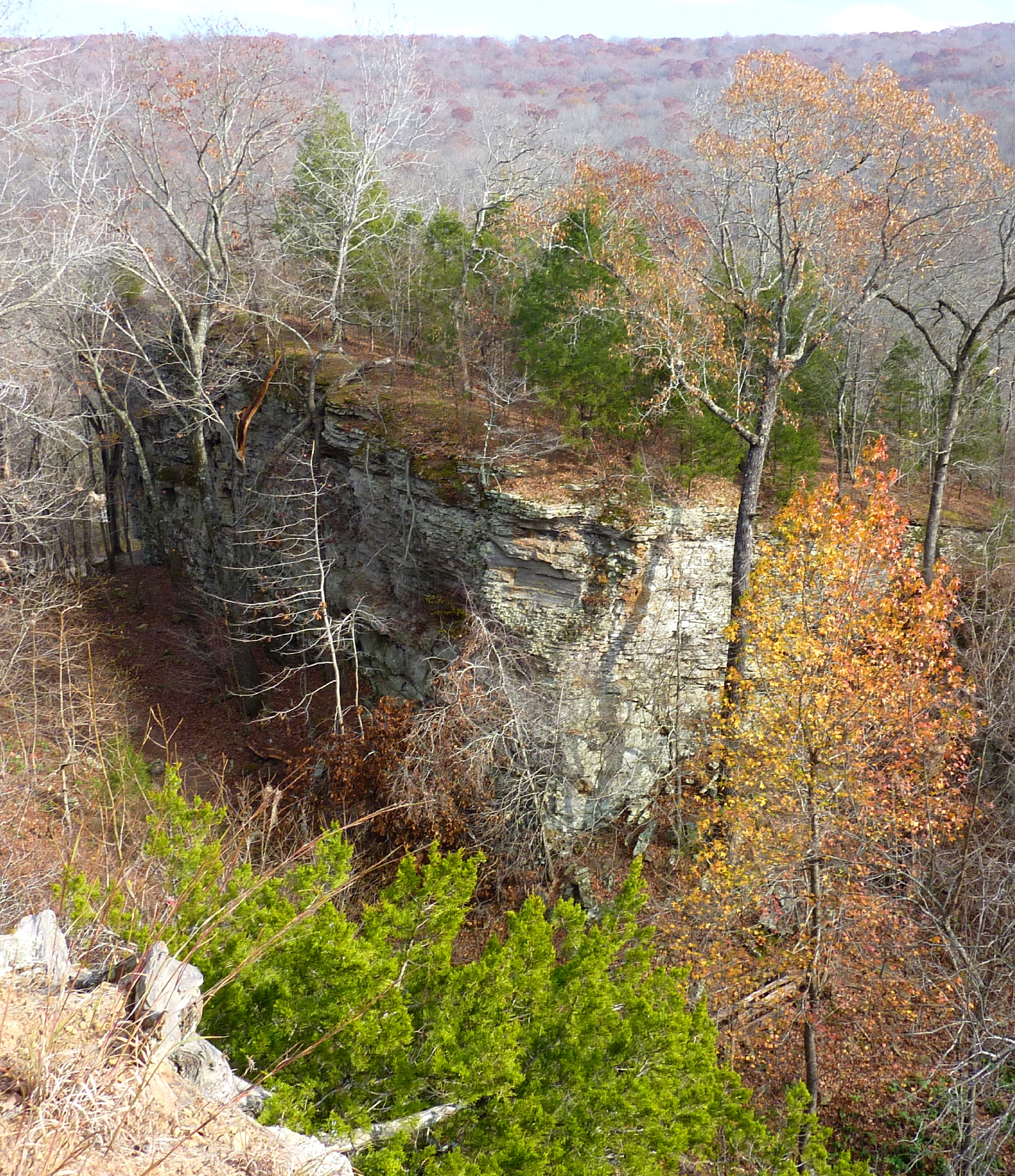
Bluff View from Yellow Rock Trail
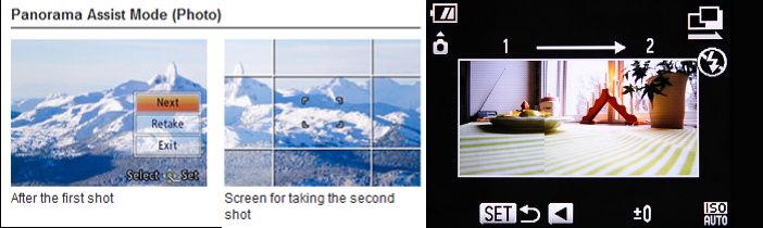
Panasonic vs Canon Panorama Assist Modes
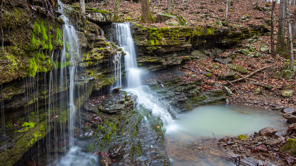
Lower unnamed falls #1 of Winfrey Valley
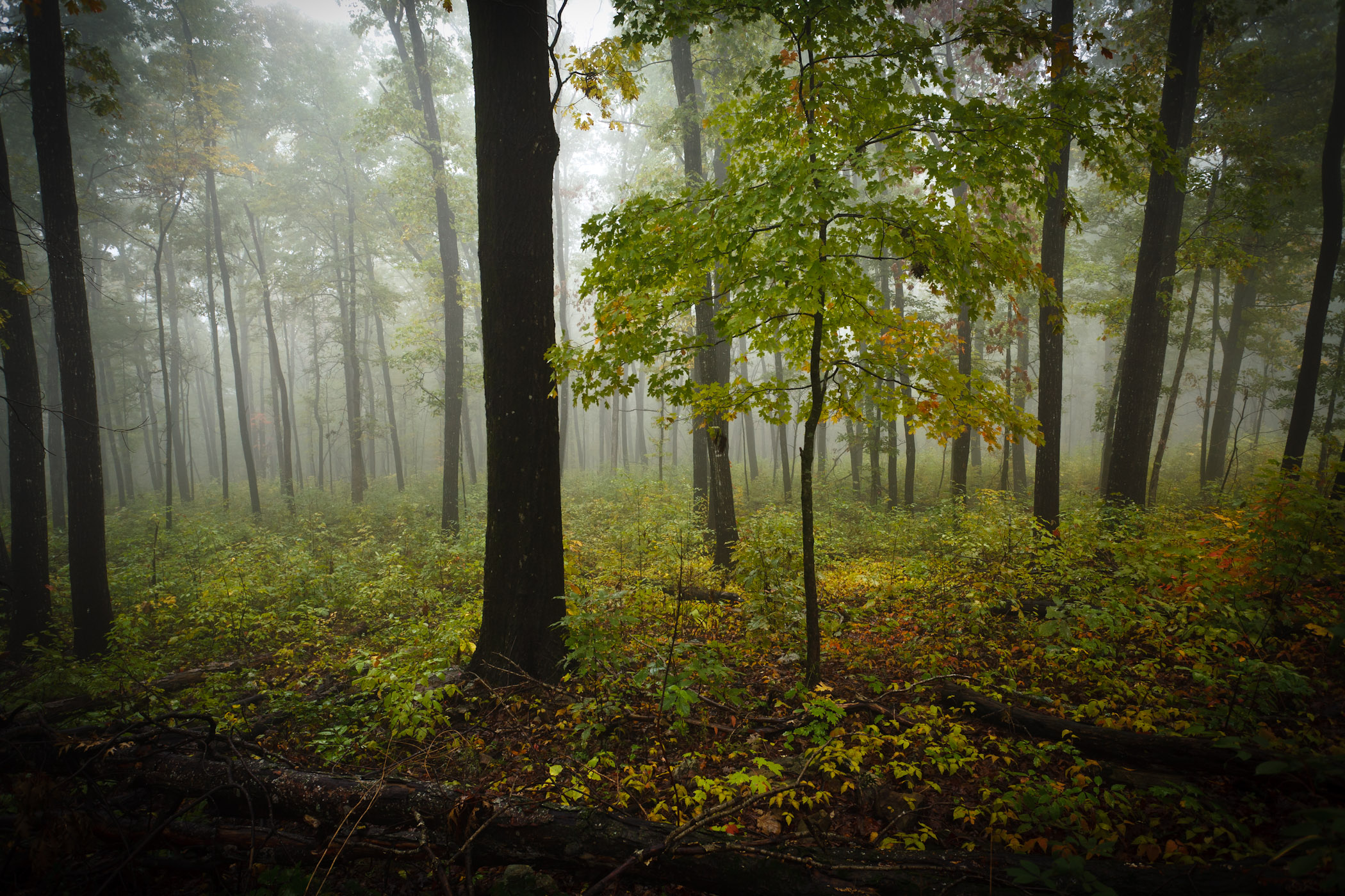
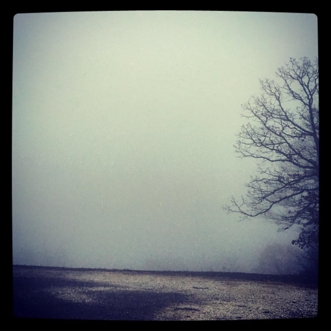
Foggy Trees
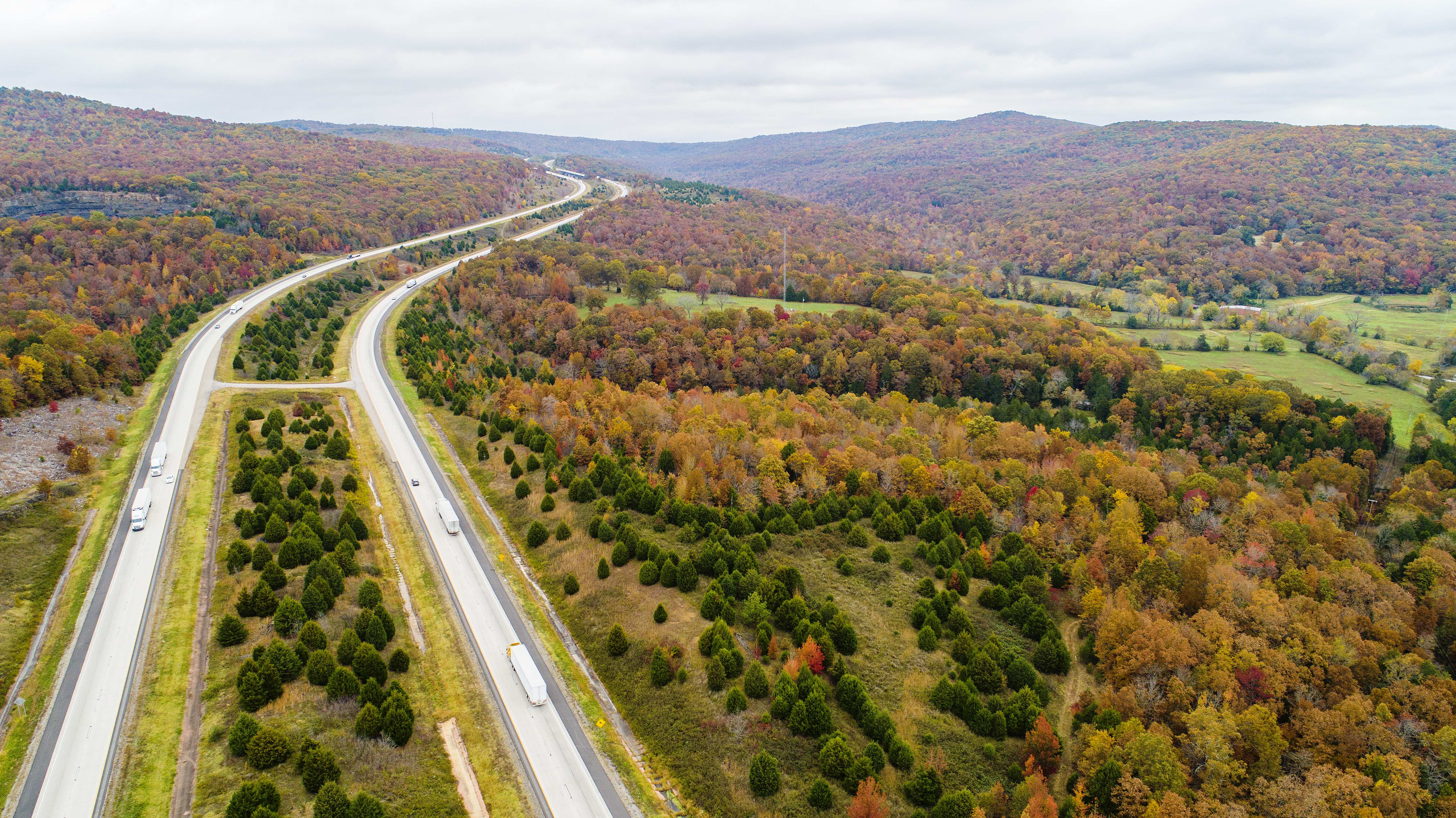
I-49 fall color
Two Rocks

Yellow Rock, Devils Den State Park, Arkansas
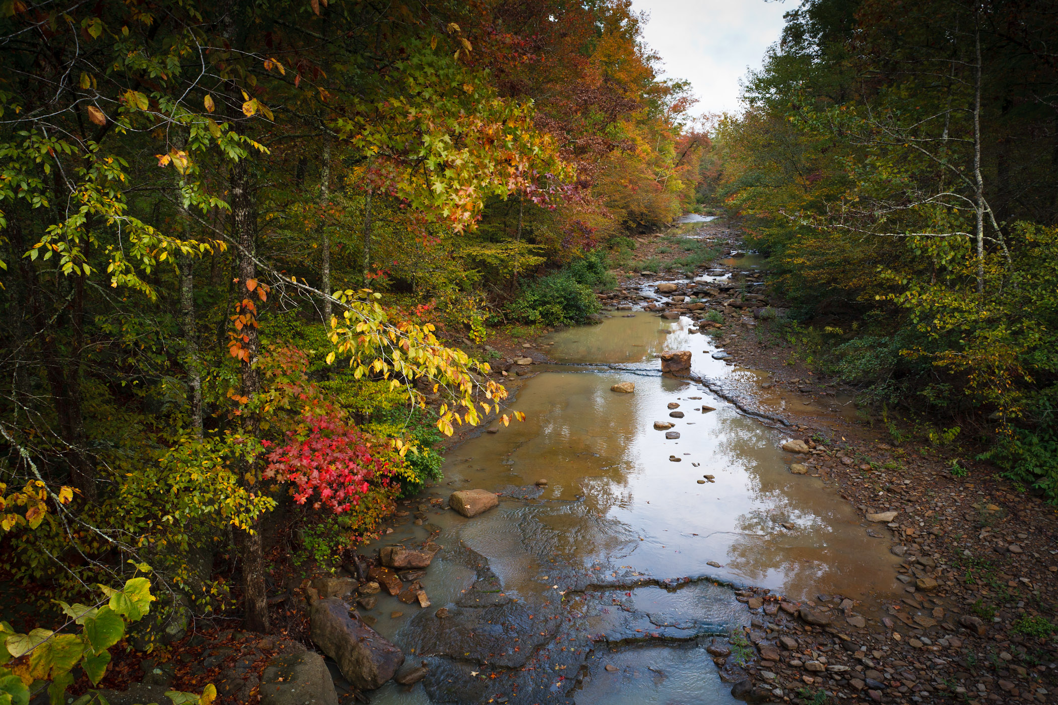
Hurricane Creek
morning sun
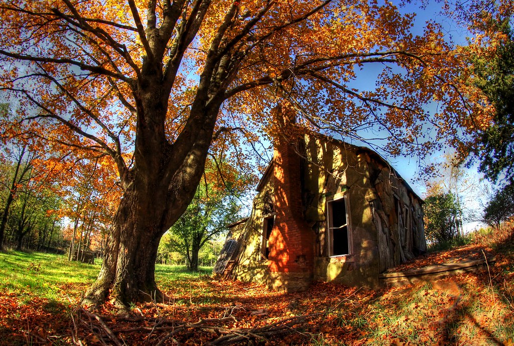
Still standing
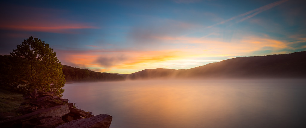
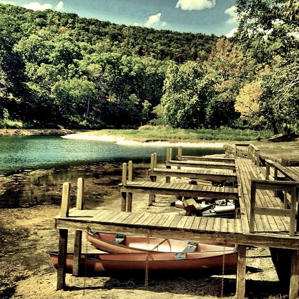
Lake Ft. Smith
Devil's Den Spillway
Devil's (Den) Advocate
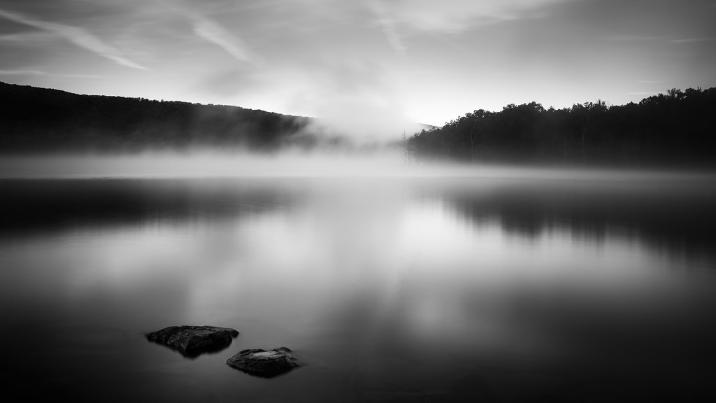
Sun hitting the mist
overprocessed overcooked overeverything
Deep Thought, Artist Point
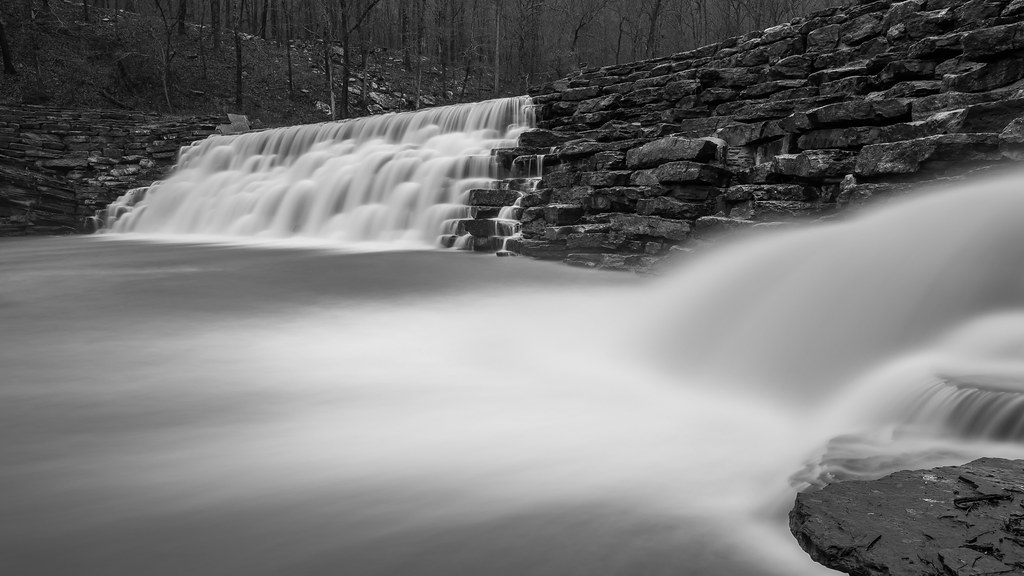
Devil's Den Spillway

Nostalgia Sunday
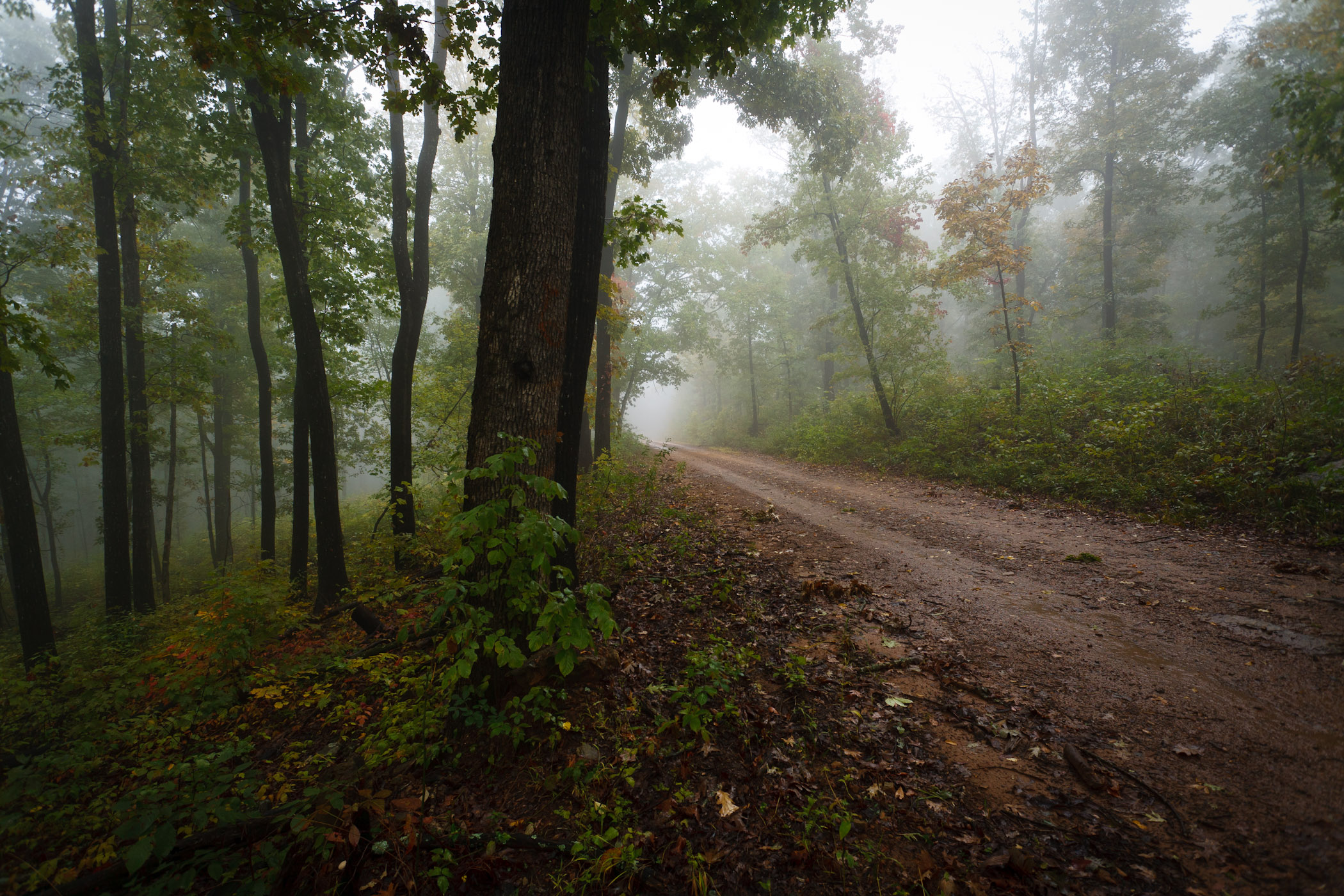
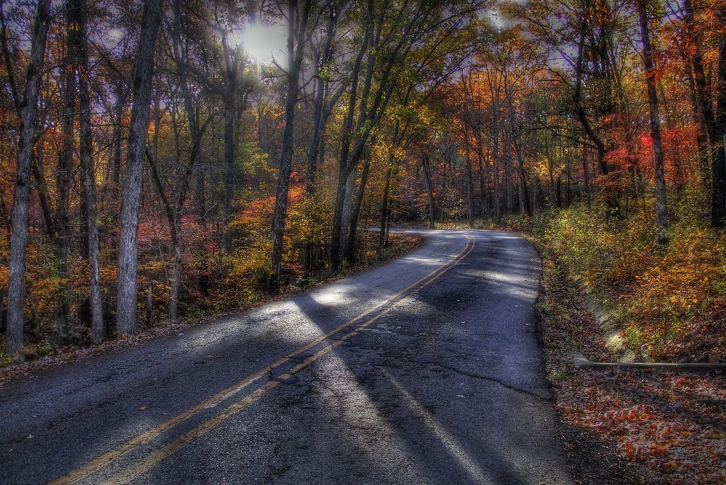
Foggy Road
White Rock Camping - May 2009
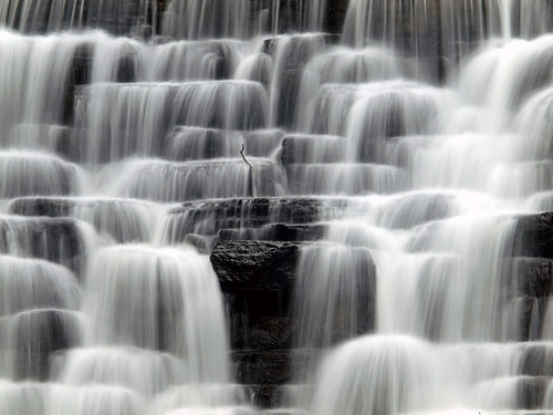
Devil's Den Spillway
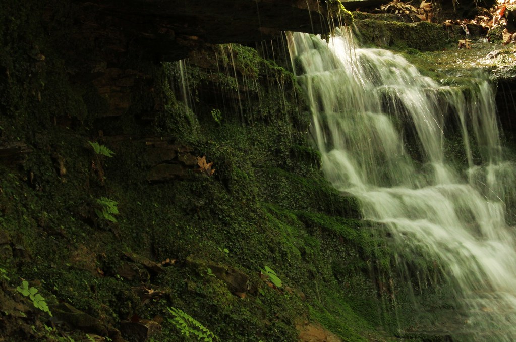
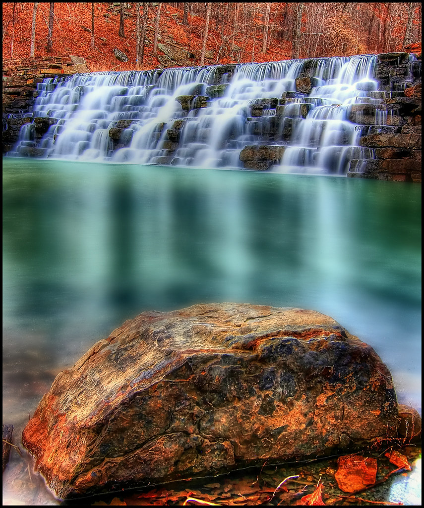
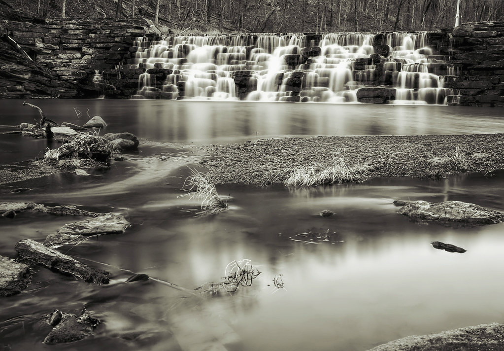
Artist Point Falls
Topographic Map of US-71, Mountainburg, AR, USA
Find elevation by address:

Places near US-71, Mountainburg, AR, USA:
US-71, Mountainburg, AR, USA
Porter Township
Bidville Rd, Winslow, AR, USA
21908 Mt Gaylor Point
Mount Gaylor
11757 Bunyard Rd
22406 N Hwy 71
22406 N Hwy 71
22406 N Hwy 71
22406 N Hwy 71
22406 N Hwy 71
22406 N Hwy 71
Winfrey Township
Bobby Hopper Tunnel
13212 Bunyard Rd
22723 Winfrey Valley Rd
Bunyard Rd, Winslow, AR, USA
285 W Van Buren Ave
525 W Van Buren Ave
Center Road
Recent Searches:
- Elevation of Corso Fratelli Cairoli, 35, Macerata MC, Italy
- Elevation of Tallevast Rd, Sarasota, FL, USA
- Elevation of 4th St E, Sonoma, CA, USA
- Elevation of Black Hollow Rd, Pennsdale, PA, USA
- Elevation of Oakland Ave, Williamsport, PA, USA
- Elevation of Pedrógão Grande, Portugal
- Elevation of Klee Dr, Martinsburg, WV, USA
- Elevation of Via Roma, Pieranica CR, Italy
- Elevation of Tavkvetili Mountain, Georgia
- Elevation of Hartfords Bluff Cir, Mt Pleasant, SC, USA