Elevation of Mount Gaylor, Mt Gaylor, Porter Township, AR, USA
Location: United States > Arkansas > Crawford County > Mountainburg Township > Mountainburg >
Longitude: -94.115203
Latitude: 35.7531369
Elevation: 636m / 2087feet
Barometric Pressure: 94KPa
Elevation Map:
Satellite Map:
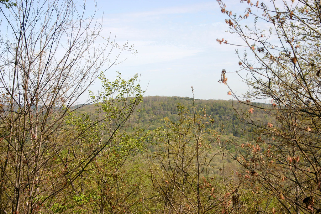
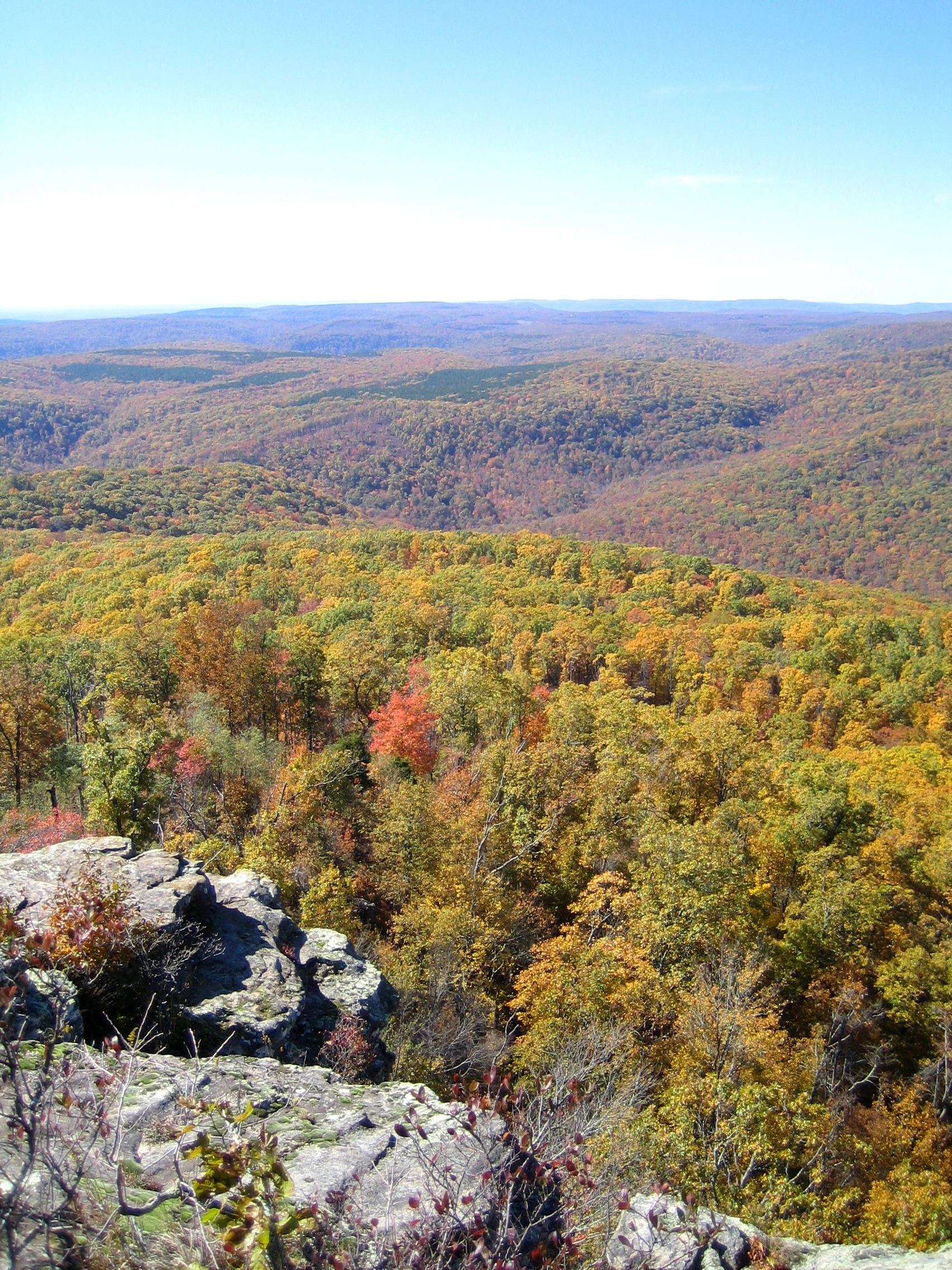
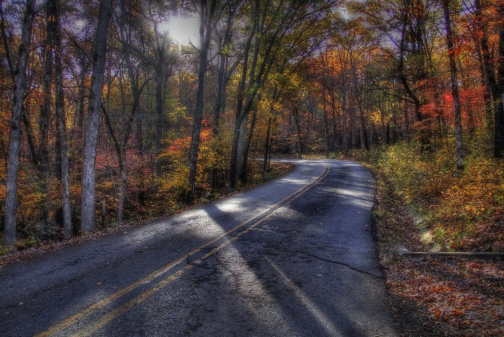
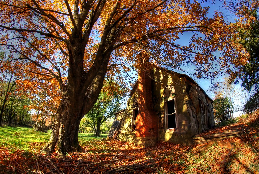
Related Photos:

This sunlight linked me through the ages to that past consciousness…

My painting does not come from the easel…

Summer Milky Way Full Frame at 50mm f/1.7

I could hear the earth's chorus and all I could do was cry for the beauty and the pain.

"It's gonna get a little smokey..."

Nature scarcely ever gives us the very best; for that we must have recourse to art...

Today's mighty oak is just yesterday's nut, that held its ground…

White Rock Mountain - Day 2 - Shores Lake Overlook

Devil's Den Spillway

Death is Like This & I'm Sorry for Them All (9-11 attacks were 11 years ago today).

Foggy View from White Rock

IMG_1149.2
White Rock Senic View

White Rock Mountain - Day 3 - Descent

White Rock Mountain - Day 2 - White Rock

took the scenic route from Fayetteville to Ft. Smith so I could stop and take in my favorite view -- I got this fog and a scary drive instead. ????

White Rock Mountain - Day 2 - Sunset Abstract

White Rock Mountain - Day 2 - Sunset

White Rock Mountain - Day 2 - Jonas
White Rock Mountain Sunset Shelter View West

White Rock Mountain - Day 2 - Sunset

Lower unnamed falls #1 of Winfrey Valley

In the Rocky Riverbed

Sunrise at Artist Point on the Boston Mountains Scenic Highway

Unnamed falls on the Shores Lake Loop trail

Devil's Den State Park

Devil's (Den) Advocate
morning sun
Still standing

Warmer Water

White Rock Creek Cascade

Green waters of the Ozarks

overprocessed overcooked overeverything

White Rock Creek Cascade (BW)

Devil's Den Spillway

White Rock Cascade in HDR B&W

Devil's Den Spillway

Overlook on Yellow Rock Trail Color IR in Devil's Den State Park, AR - 20170513CNP
Topographic Map of Mount Gaylor, Mt Gaylor, Porter Township, AR, USA
Find elevation by address:

Places near Mount Gaylor, Mt Gaylor, Porter Township, AR, USA:
21908 Mt Gaylor Point
22406 N Hwy 71
22406 N Hwy 71
22406 N Hwy 71
22406 N Hwy 71
22406 N Hwy 71
22406 N Hwy 71
Bidville Rd, Winslow, AR, USA
22723 Winfrey Valley Rd
US-71, Mountainburg, AR, USA
Winslow Township
Winfrey Township
13212 Bunyard Rd
285 W Van Buren Ave
525 W Van Buren Ave
Winslow
Porter Township
15678 Koyle Cemetery Rd
Center Road
17770 Us-71
Recent Searches:
- Elevation of Corso Fratelli Cairoli, 35, Macerata MC, Italy
- Elevation of Tallevast Rd, Sarasota, FL, USA
- Elevation of 4th St E, Sonoma, CA, USA
- Elevation of Black Hollow Rd, Pennsdale, PA, USA
- Elevation of Oakland Ave, Williamsport, PA, USA
- Elevation of Pedrógão Grande, Portugal
- Elevation of Klee Dr, Martinsburg, WV, USA
- Elevation of Via Roma, Pieranica CR, Italy
- Elevation of Tavkvetili Mountain, Georgia
- Elevation of Hartfords Bluff Cir, Mt Pleasant, SC, USA