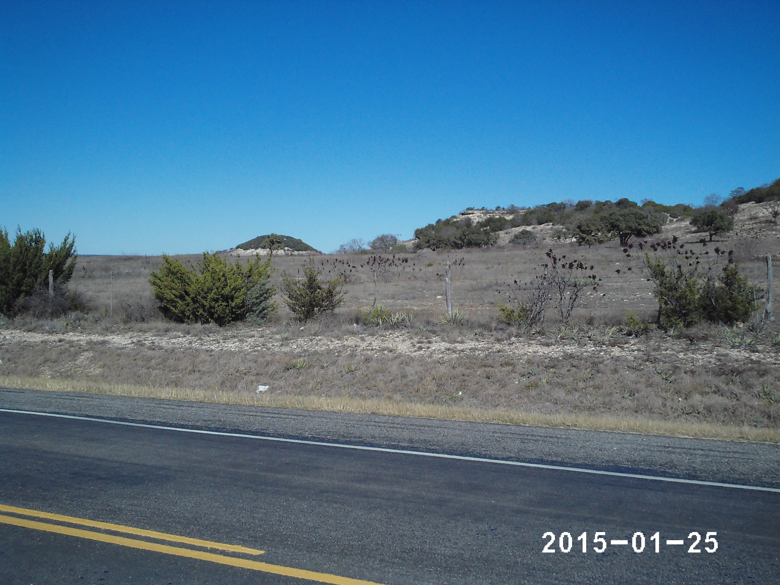
Elevation of US-67, Stephenville, TX, USA
Location: United States > Texas > Erath County > Stephenville >
Longitude: -98.026006
Latitude: 32.1564322
Elevation: 383m / 1257feet
Barometric Pressure: 97KPa
Elevation Map:
Satellite Map:
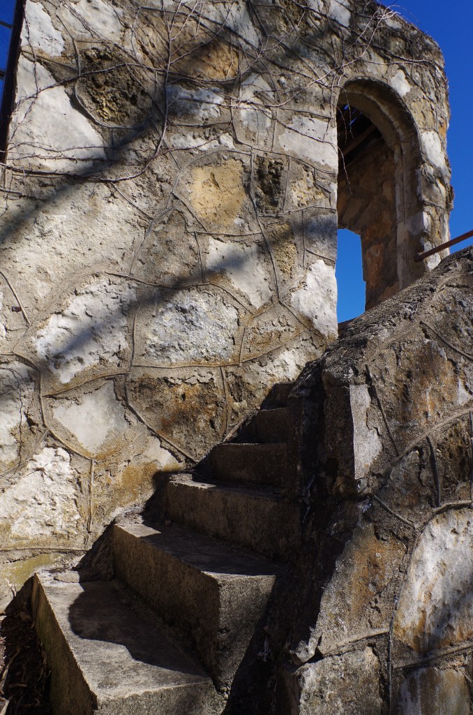
Related Photos:

The view from tonight's gig! #texas

Chalk Mountain, Texas
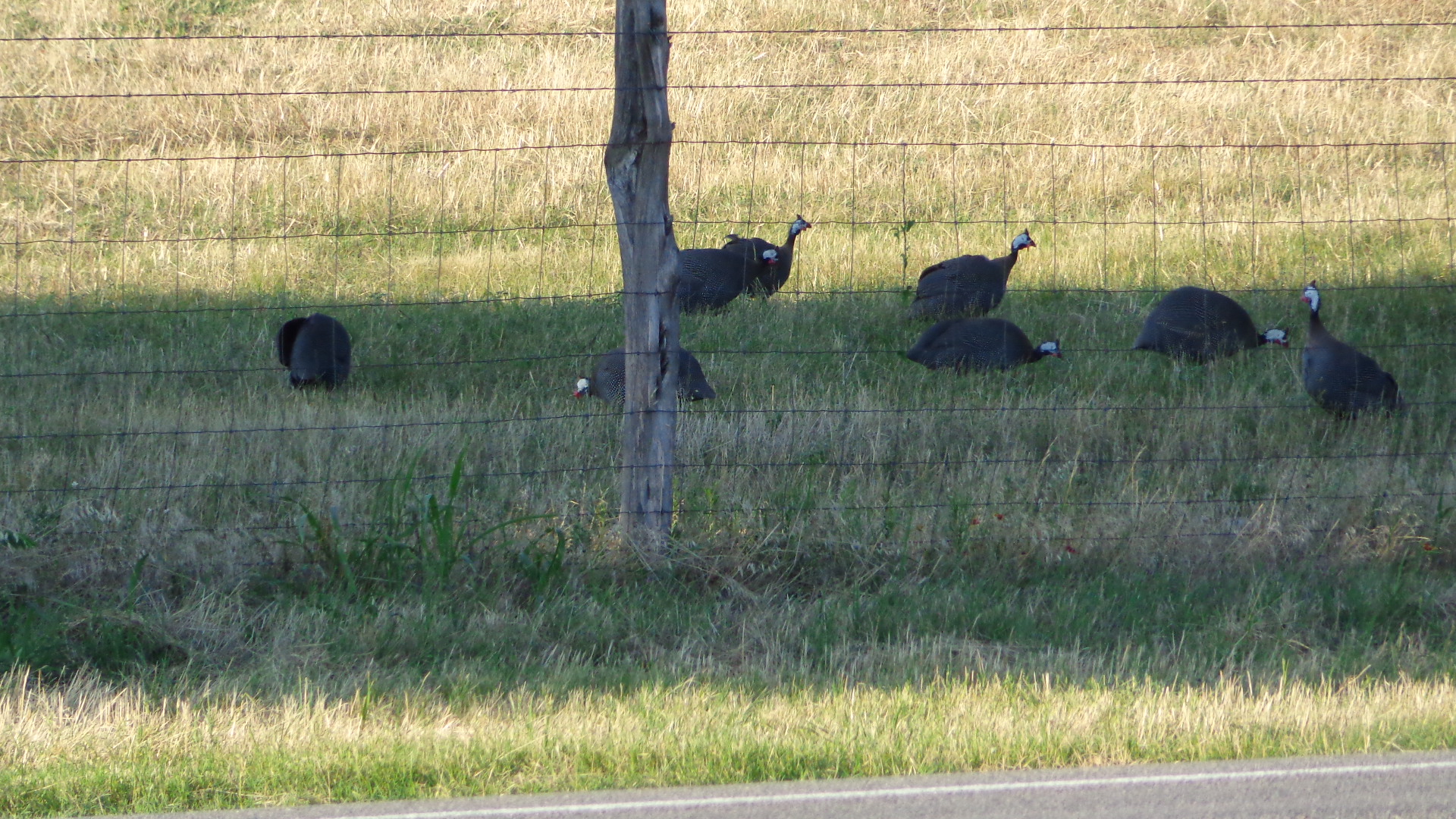
wild turkeys
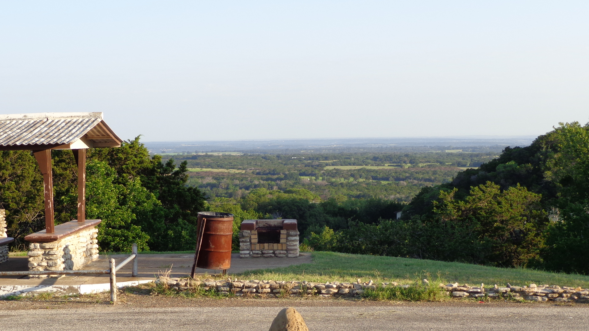
top of the Chalk

Good Morning!

Good Morning!

Chalk Mountain at Sunset

"bluebonnets"

"reflections"
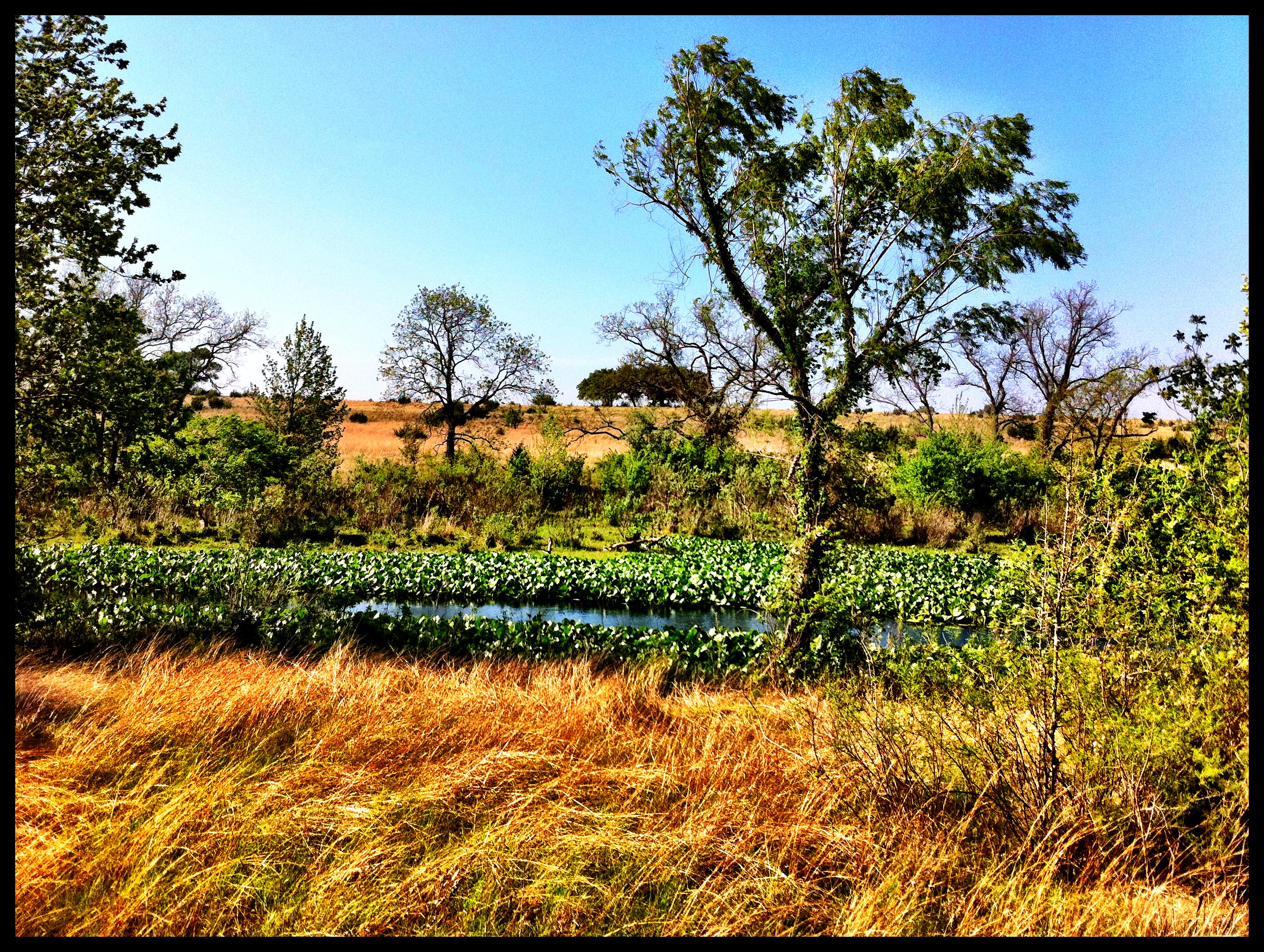
Along the nature trail
Chalk Mountain Valley at Twilight

"bluebonnets"

"bluebonnets"
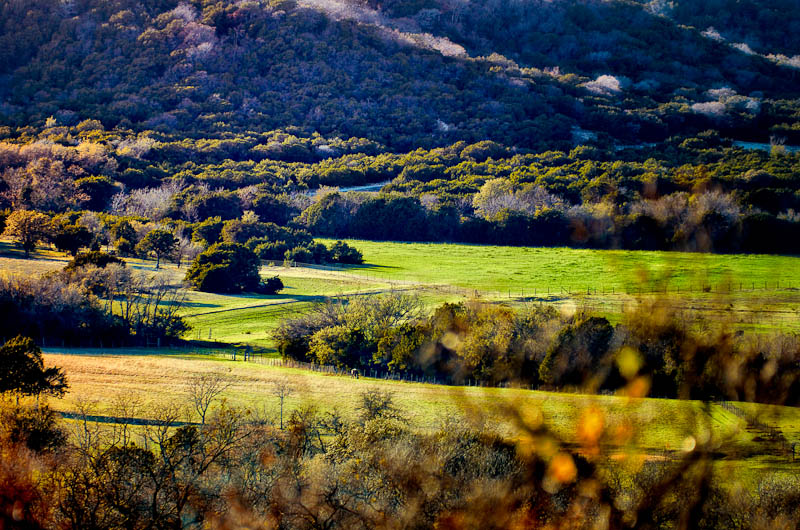
Chalk Mountain Texas 2015.

"bluebonnets"

"bluebonnets"
The Old Path

20150426-IMG_1734

Chalk Mountain Texas 2015.
Topographic Map of US-67, Stephenville, TX, USA
Find elevation by address:

Places near US-67, Stephenville, TX, USA:
FM, Hico, TX, USA
21901 Fm 205
32083 N Fm 219
12901 Bakers Crossing Rd
140 Autumn Valley
U.s. 377
Farm To Market Road 914
2184 Lakeside Dr
Hico
300 Lanyard Dr
301 Co Rd 511
437 S Belknap St
Stephenville
365 W Collins
Erath County
460 W Elm St
Tarleton State University
5165 Co Rd 2013
Stephenville Medical & Surgical Clinic
5900 Hill City Hwy
Recent Searches:
- Elevation of Corso Fratelli Cairoli, 35, Macerata MC, Italy
- Elevation of Tallevast Rd, Sarasota, FL, USA
- Elevation of 4th St E, Sonoma, CA, USA
- Elevation of Black Hollow Rd, Pennsdale, PA, USA
- Elevation of Oakland Ave, Williamsport, PA, USA
- Elevation of Pedrógão Grande, Portugal
- Elevation of Klee Dr, Martinsburg, WV, USA
- Elevation of Via Roma, Pieranica CR, Italy
- Elevation of Tavkvetili Mountain, Georgia
- Elevation of Hartfords Bluff Cir, Mt Pleasant, SC, USA