Elevation of Co Rd, Stephenville, TX, USA
Location: United States > Texas > Erath County > Stephenville >
Longitude: -98.154785
Latitude: 32.2869768
Elevation: 385m / 1263feet
Barometric Pressure: 97KPa
Elevation Map:
Satellite Map:
Related Photos:

Hackberry Emperor Butterflies on banana 7479

Beer with a View

This willow is weeping frozen tears. 7712

Greenhouse with peanut plants-preserving South American germ plasm 1244

irrigation pond1

S Fork North Bosque River Legends golfcourse

Erath County Courthouse, Stephenville, Texas Historical Marker

Crow Opera House Looking Up, Stephenville, Texas

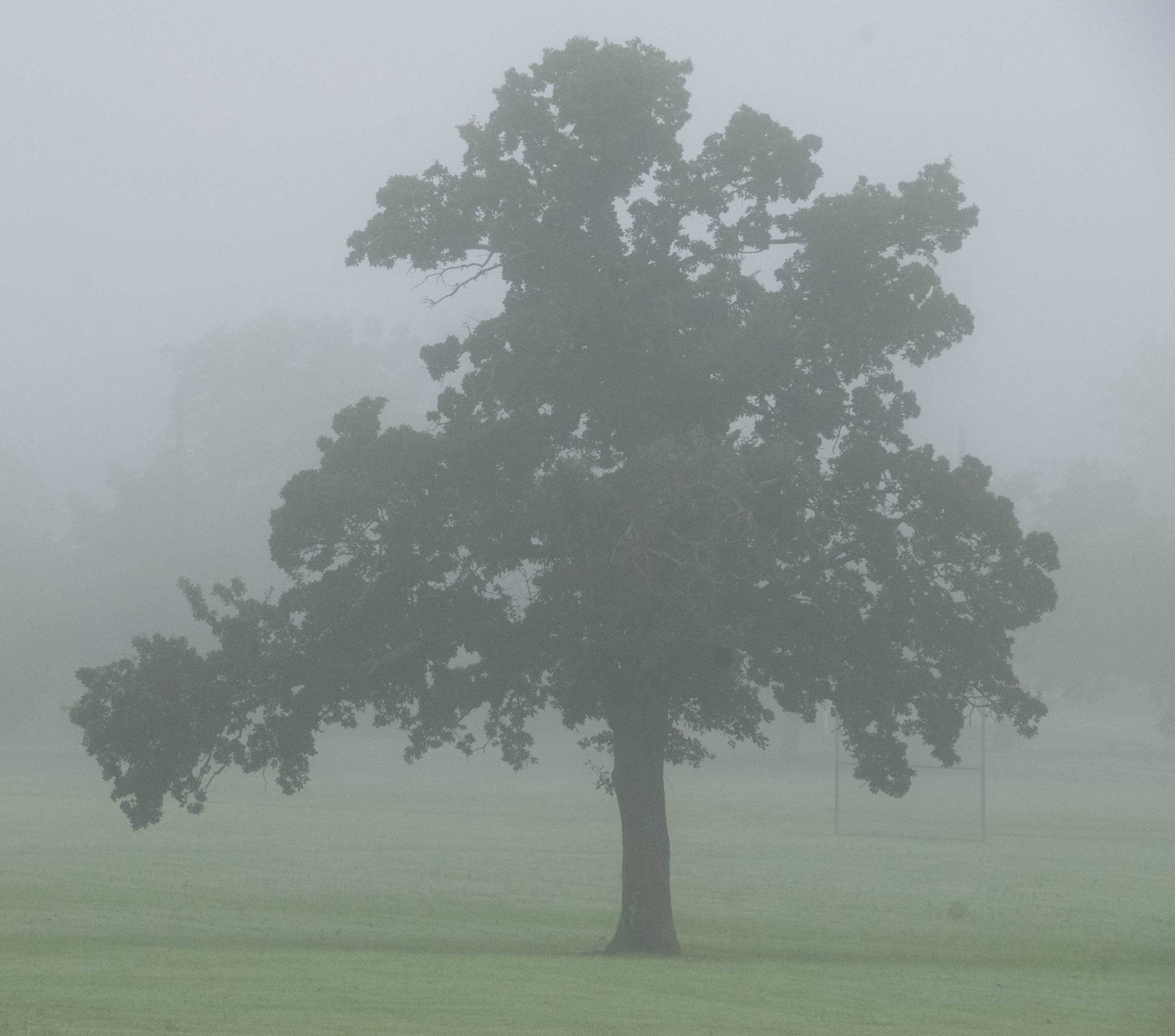
North Texas Landscape
DFTDemo2018-4

Train spotting from public property 2902

North Texas Landscape

North Texas Landscape

Most of you probably won't read all of this, but this is a picture is one to remember for me. It all started with my curiosity after seeing a greatly lit photo opportunity. Driving down W McNeil St in Stephenville, Tx, I saw in a sort of fenced off, not f
Topographic Map of Co Rd, Stephenville, TX, USA
Find elevation by address:

Places near Co Rd, Stephenville, TX, USA:
U.s. 377
460 W Elm St
Stephenville
365 W Collins
437 S Belknap St
Tarleton State University
Stephenville Medical & Surgical Clinic
Erath County
21901 Fm 205
300 Lanyard Dr
Farm To Market Road 914
32083 N Fm 219
2184 Lakeside Dr
140 Autumn Valley
County Road 419
825 Cr298
US-67, Stephenville, TX, USA
12901 Bakers Crossing Rd
32509 Fm219
Private Road 1663
Recent Searches:
- Elevation of Corso Fratelli Cairoli, 35, Macerata MC, Italy
- Elevation of Tallevast Rd, Sarasota, FL, USA
- Elevation of 4th St E, Sonoma, CA, USA
- Elevation of Black Hollow Rd, Pennsdale, PA, USA
- Elevation of Oakland Ave, Williamsport, PA, USA
- Elevation of Pedrógão Grande, Portugal
- Elevation of Klee Dr, Martinsburg, WV, USA
- Elevation of Via Roma, Pieranica CR, Italy
- Elevation of Tavkvetili Mountain, Georgia
- Elevation of Hartfords Bluff Cir, Mt Pleasant, SC, USA