Elevation of US-45, Chunchula, AL, USA
Location: United States > Alabama > Mobile County > Chunchula >
Longitude: -88.23771
Latitude: 30.995089
Elevation: 45m / 148feet
Barometric Pressure: 0KPa
Related Photos:
DSCN6063.jpg

DSCN6062.jpg

DSCN6045.jpg
DSCN6019.jpg
DSCN5979.jpg
DSCN5976.jpg

DSCN5975.jpg
DSCN5974.jpg

DSCN5949.jpg

DSCN5948.jpg
DSCN5943.jpg

DSCN5433.jpg

DSC_8906.jpg
DSC_0353.jpg
DSC_0348.jpg

DSC_0105.jpg

DSC_0324.jpg

DSC_0323.jpg
DSC_0061.jpg

DSC_0769.jpg
DSC_0764.jpg
Topographic Map of US-45, Chunchula, AL, USA
Find elevation by address:

Places near US-45, Chunchula, AL, USA:
Old Citronelle Highway
8240 Woodland Dr S
Celeste Rd, Citronelle, AL, USA
S 3rd St, Citronelle, AL, USA
Malone Road
12615 Roberts Rd
8810 Turner Dr
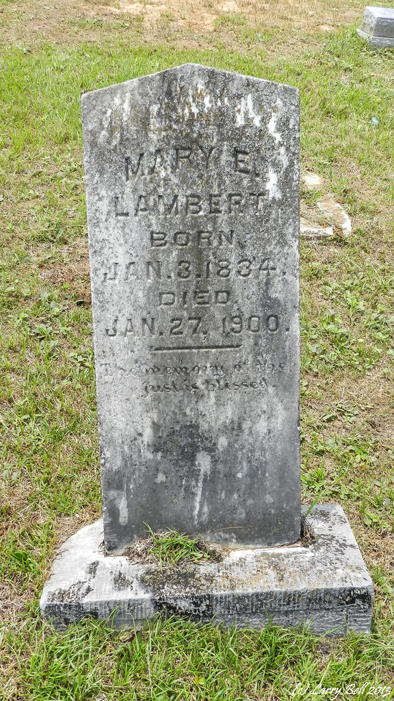
Lambert Cemetery Rd, Citronelle, AL, USA
Citronella Inn
Citronelle
Roberts Rd, Chunchula, AL, USA
11150 Billy Walker Rd
Pine St, Citronelle, AL, USA
3960 Coy Smith Hwy
Brown Blankinchip Rd, Citronelle, AL, USA
13440 Us-43
Bucks
US-43, Axis, AL, USA
US-43, Bucks, AL, USA
St Peter Parish School Rd, Mt Vernon, AL, USA
Recent Searches:
- Elevation of 10370, West 107th Circle, Westminster, Jefferson County, Colorado, 80021, USA
- Elevation of 611, Roman Road, Old Ford, Bow, London, England, E3 2RW, United Kingdom
- Elevation of 116, Beartown Road, Underhill, Chittenden County, Vermont, 05489, USA
- Elevation of Window Rock, Colfax County, New Mexico, 87714, USA
- Elevation of 4807, Rosecroft Street, Kempsville Gardens, Virginia Beach, Virginia, 23464, USA
- Elevation map of Matawinie, Quebec, Canada
- Elevation of Sainte-Émélie-de-l'Énergie, Matawinie, Quebec, Canada
- Elevation of Rue du Pont, Sainte-Émélie-de-l'Énergie, Matawinie, Quebec, J0K2K0, Canada
- Elevation of 8, Rue de Bécancour, Blainville, Thérèse-De Blainville, Quebec, J7B1N2, Canada
- Elevation of Wilmot Court North, 163, University Avenue West, Northdale, Waterloo, Region of Waterloo, Ontario, N2L6B6, Canada
- Elevation map of Panamá Province, Panama
- Elevation of Balboa, Panamá Province, Panama
- Elevation of San Miguel, Balboa, Panamá Province, Panama
- Elevation of Isla Gibraleón, San Miguel, Balboa, Panamá Province, Panama
- Elevation of 4655, Krischke Road, Schulenburg, Fayette County, Texas, 78956, USA
- Elevation of Carnegie Avenue, Downtown Cleveland, Cleveland, Cuyahoga County, Ohio, 44115, USA
- Elevation of Walhonding, Coshocton County, Ohio, USA
- Elevation of Clifton Down, Clifton, Bristol, City of Bristol, England, BS8 3HU, United Kingdom
- Elevation map of Auvergne-Rhône-Alpes, France
- Elevation map of Upper Savoy, Auvergne-Rhône-Alpes, France