Elevation of St Peter Parish School Rd, Mt Vernon, AL, USA
Location: United States > Alabama > Mobile County > Mount Vernon >
Longitude: -88.021958
Latitude: 31.038514
Elevation: 13m / 43feet
Barometric Pressure: 0KPa
Related Photos:
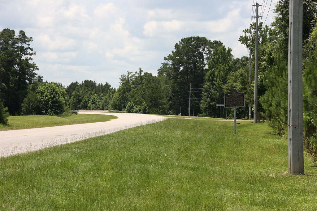
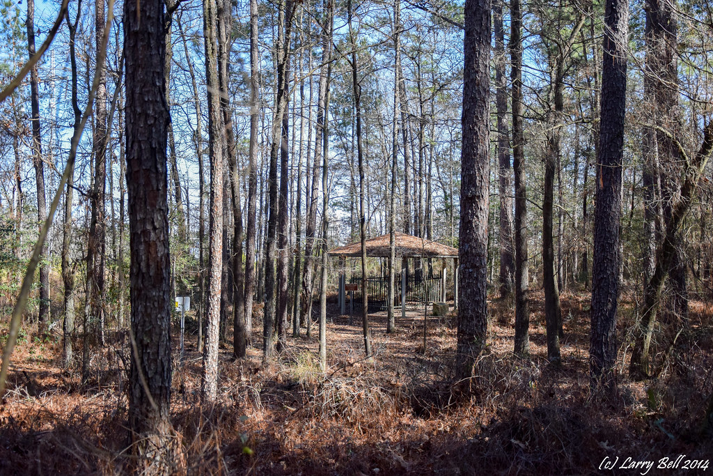
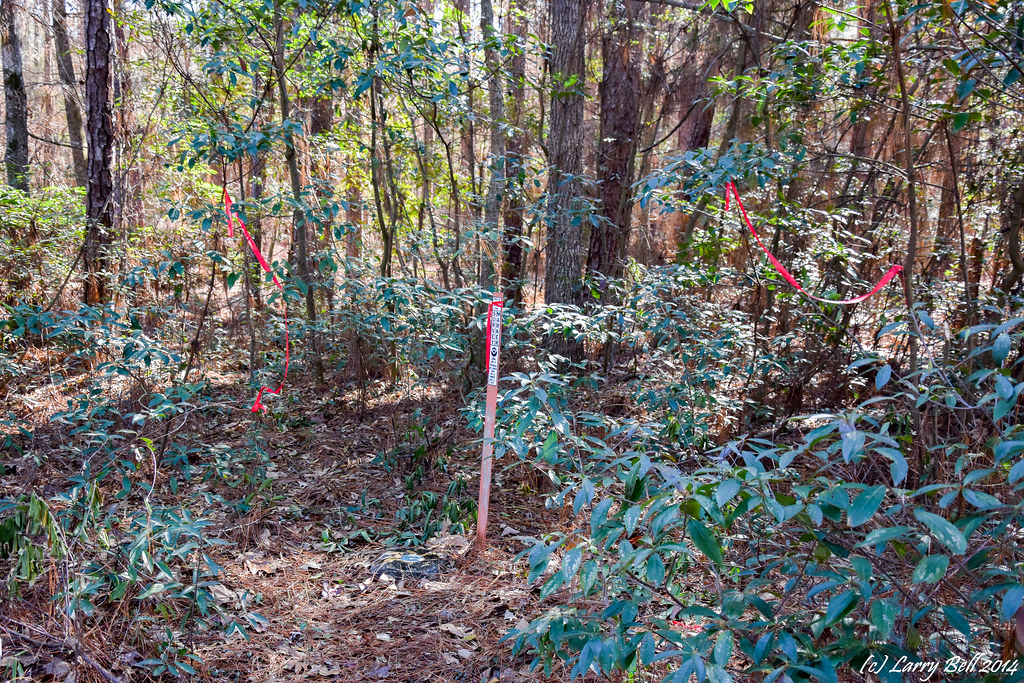
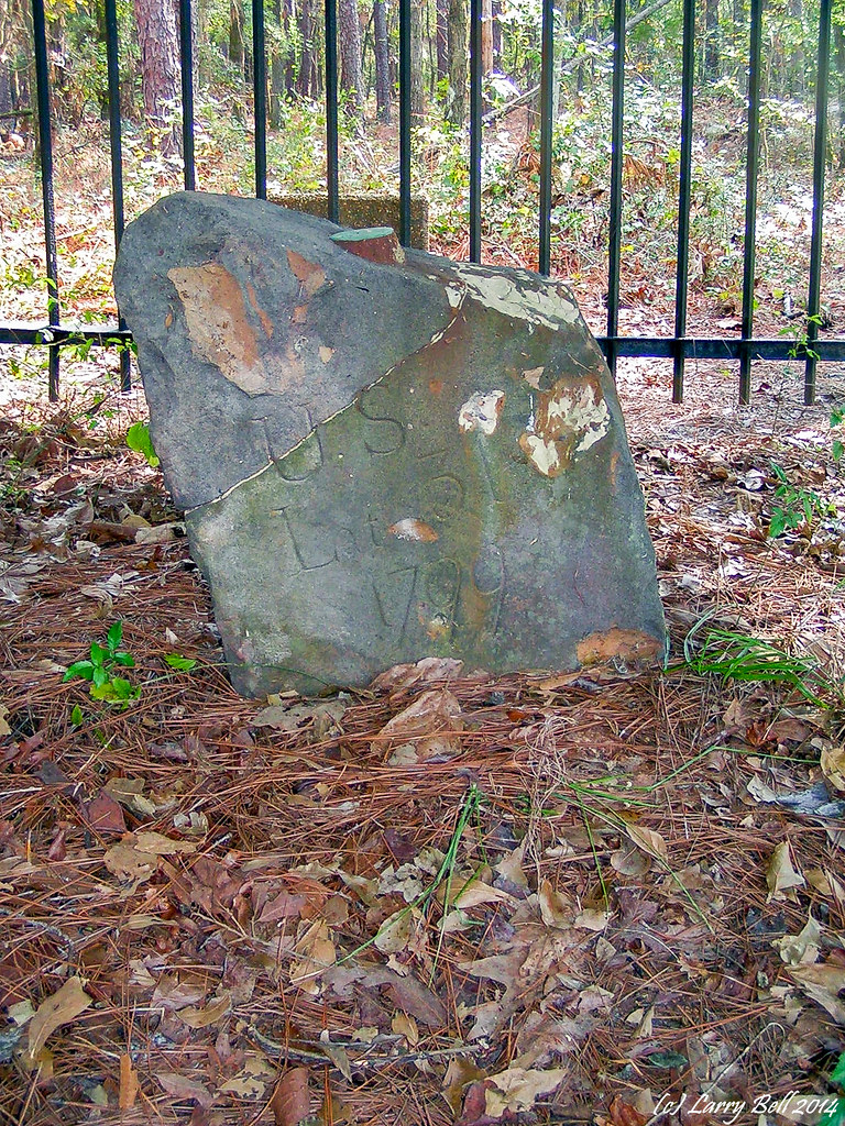
Major Robert Farmar Plantation Historical Marker Location / P2013-0622D135
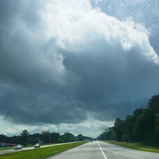
#CloudFormations over #mobile #winds kicking up.

DSCN2383.jpg

DSC_2917.jpg
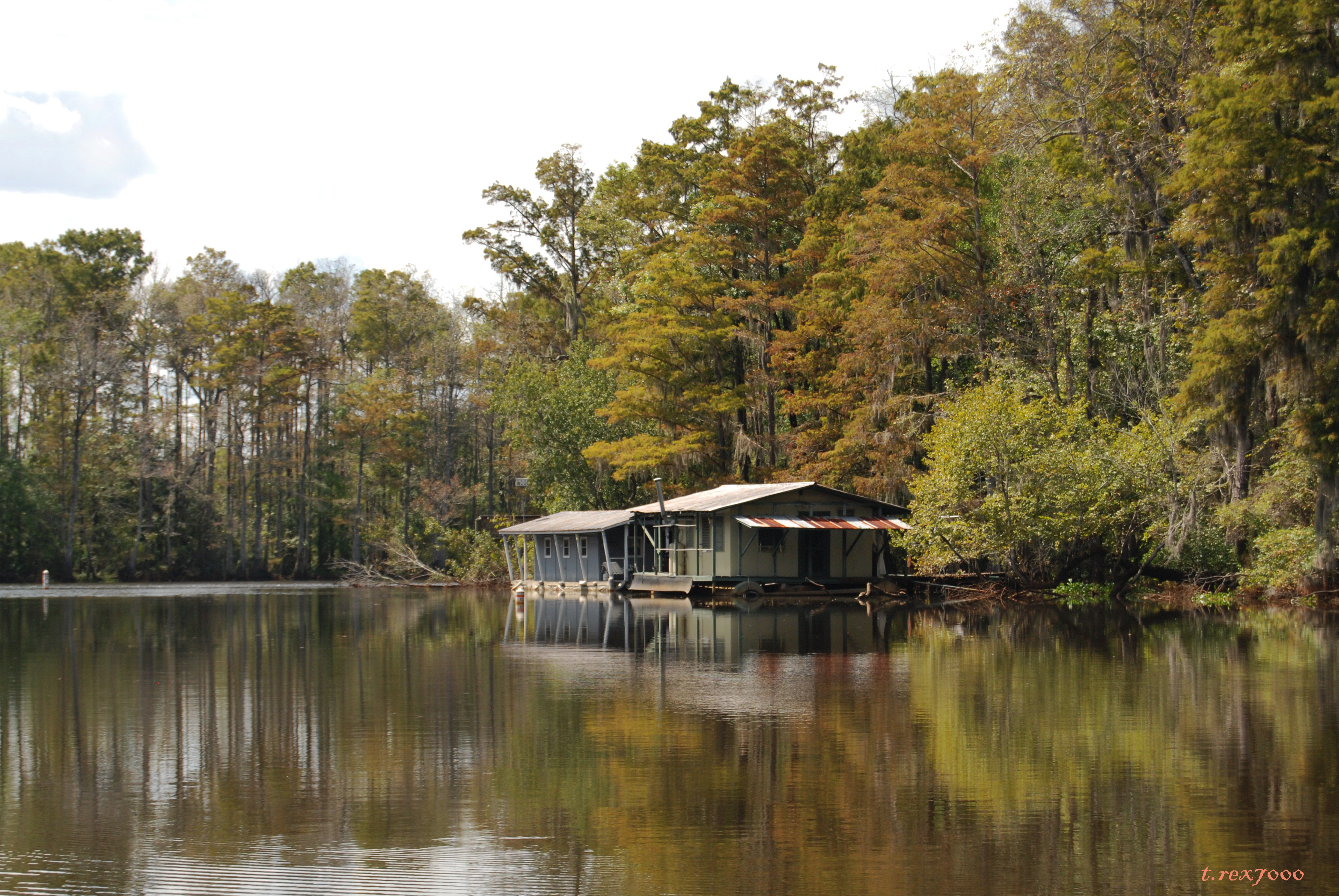
LANDSCAPE W/CABINS

LANDSCAPE W/EGRET
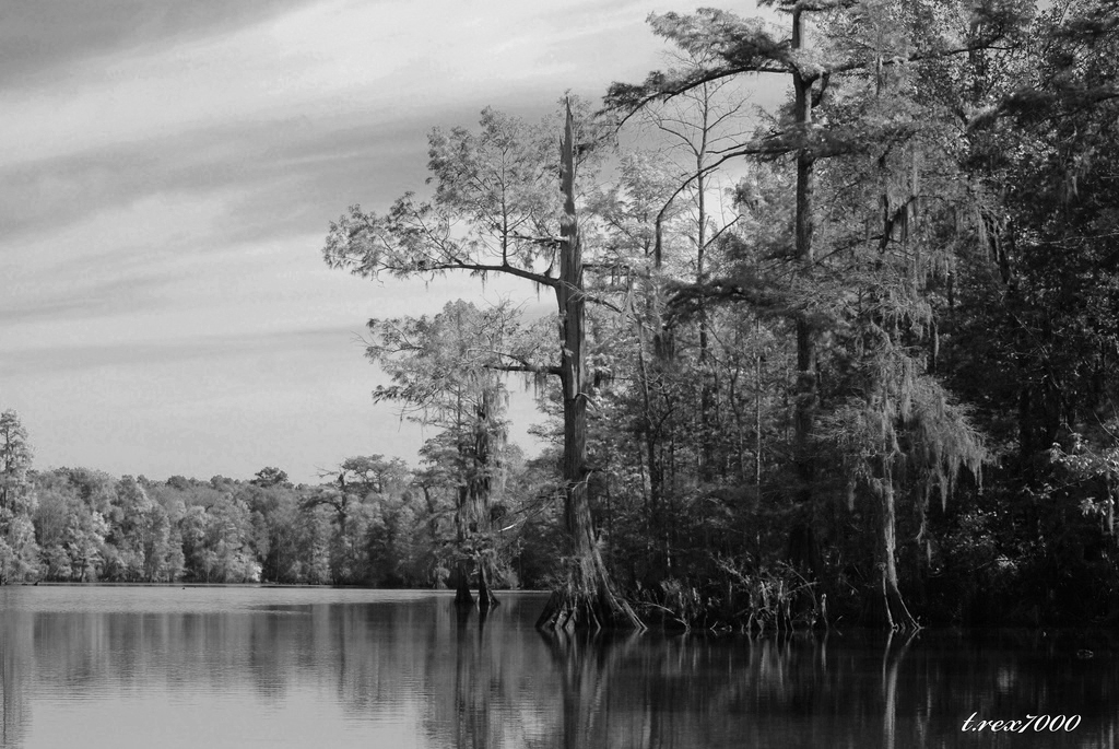
LANDSCAPE B/W

DSCN2384.jpg

VI Move - SC Drive

B & W EGRET
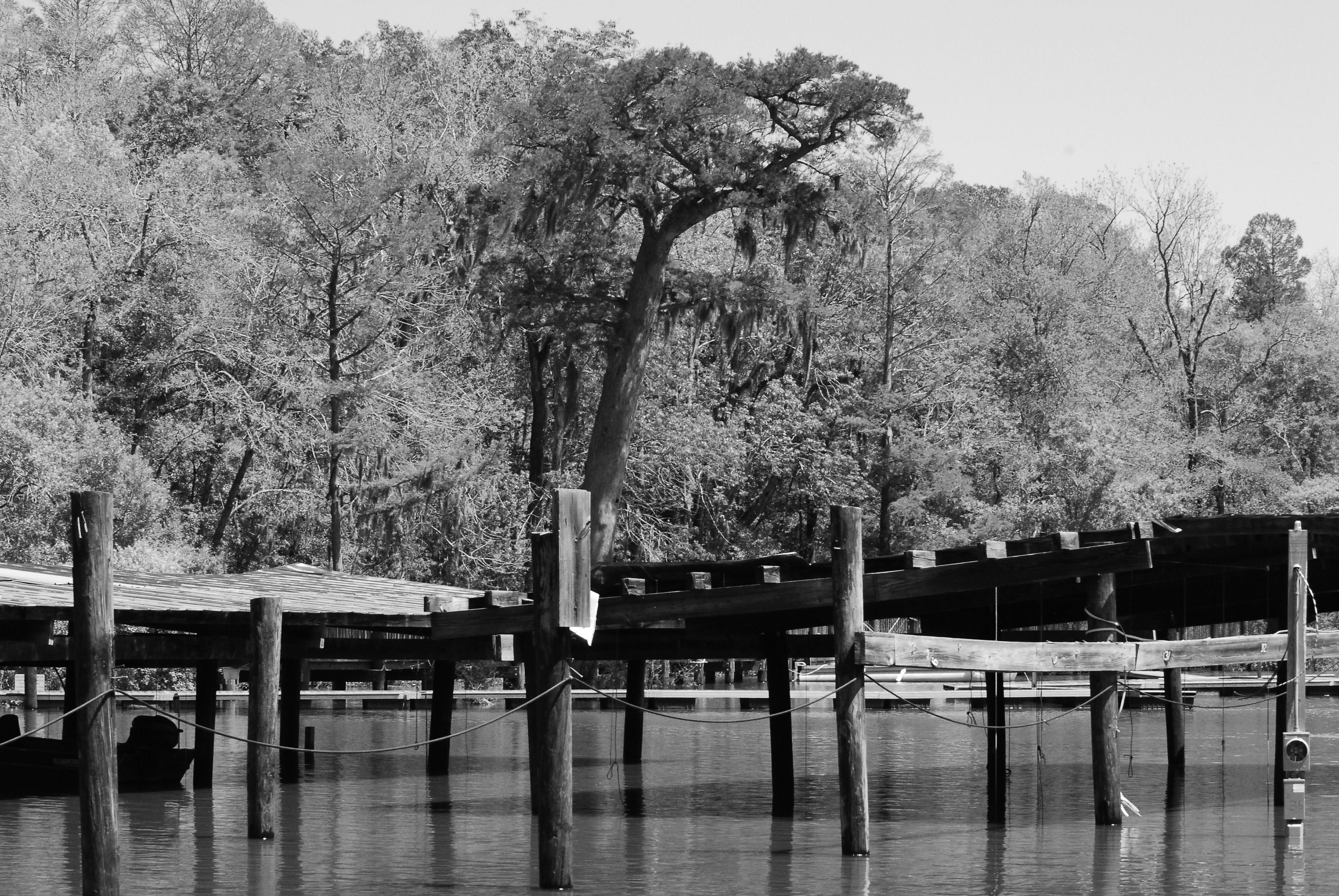
B/W MARINA

DSCN5433.jpg

DSC_2819.jpg

DSCN2135.jpg
DSC_0009.jpg
DSC_0008.jpg
PICT1469.jpg

What You Will See 7.jpg

DSC_0076.jpg

DSC_0075.jpg

DSC_0056.jpg

DSC_1122.jpg
Topographic Map of St Peter Parish School Rd, Mt Vernon, AL, USA
Find elevation by address:

Places near St Peter Parish School Rd, Mt Vernon, AL, USA:
US-43, Mt Vernon, AL, USA
US-43, Bucks, AL, USA
Bucks
Mount Vernon
10280 Shepard Lake Rd S
13440 Us-43
Sawmill Cutoff, Mt Vernon, AL, USA
US-43, Axis, AL, USA
Amvac Chemical Corporation
Roberts Rd, Chunchula, AL, USA
Lambert Cemetery Rd, Citronelle, AL, USA
3960 Coy Smith Hwy
Cobb Lane
Bryants Landing Road
Stevens Rd, Stockton, AL, USA
Tompkins Road
Co Rd 21, Stockton, AL, USA
Hubbard Landing Rd, Stockton, AL, USA
12615 Roberts Rd
Live Oak Rd, Bay Minette, AL, USA
Recent Searches:
- Elevation of 2881, Chabot Drive, San Bruno, San Mateo County, California, 94066, USA
- Elevation of 10370, West 107th Circle, Westminster, Jefferson County, Colorado, 80021, USA
- Elevation of 611, Roman Road, Old Ford, Bow, London, England, E3 2RW, United Kingdom
- Elevation of 116, Beartown Road, Underhill, Chittenden County, Vermont, 05489, USA
- Elevation of Window Rock, Colfax County, New Mexico, 87714, USA
- Elevation of 4807, Rosecroft Street, Kempsville Gardens, Virginia Beach, Virginia, 23464, USA
- Elevation map of Matawinie, Quebec, Canada
- Elevation of Sainte-Émélie-de-l'Énergie, Matawinie, Quebec, Canada
- Elevation of Rue du Pont, Sainte-Émélie-de-l'Énergie, Matawinie, Quebec, J0K2K0, Canada
- Elevation of 8, Rue de Bécancour, Blainville, Thérèse-De Blainville, Quebec, J7B1N2, Canada
- Elevation of Wilmot Court North, 163, University Avenue West, Northdale, Waterloo, Region of Waterloo, Ontario, N2L6B6, Canada
- Elevation map of Panamá Province, Panama
- Elevation of Balboa, Panamá Province, Panama
- Elevation of San Miguel, Balboa, Panamá Province, Panama
- Elevation of Isla Gibraleón, San Miguel, Balboa, Panamá Province, Panama
- Elevation of 4655, Krischke Road, Schulenburg, Fayette County, Texas, 78956, USA
- Elevation of Carnegie Avenue, Downtown Cleveland, Cleveland, Cuyahoga County, Ohio, 44115, USA
- Elevation of Walhonding, Coshocton County, Ohio, USA
- Elevation of Clifton Down, Clifton, Bristol, City of Bristol, England, BS8 3HU, United Kingdom
- Elevation map of Auvergne-Rhône-Alpes, France