Elevation of AMVAC Chemical Corporation, US-43, Axis, AL, USA

Location: United States > Alabama > Mobile County > Axis >

Longitude: -88.018448

Latitude: 30.9517047

Elevation: 13m / 43feet

Barometric Pressure: 101KPa

Elevation Map:

elevation map of AMVAC Chemical Corporation, US-43, Axis, AL, USA

Satellite Map:

Satellite map of AMVAC Chemical Corporation, US-43, Axis, AL, USA

Related Photos:

olympus hdr e5 852 ellenburgphotography
FB 022011 Bird Watching-01 HDR Aa
historicalsites historicalmarkers stateofalabama baldwincountyalabama markersandmonuments alabamahistoricalmarkers alabamahistoricalassociationmarkers vacation2013 alabamacountybaldwin stocktonalabama alabamahistoricsites kennedymillhistoricalmarker alabamahighway225 alabamastockton kennedymillsite rainscreek
Rains Creek / P2013-0622D127
stateofalabama baldwincountyalabama alabamahistoricalcommissionmarkers vacation2013 alabamacountybaldwin stocktonalabama alabamahighway225 alabamastockton lowerbryantlandingroad majorrobertfarmarplantationhistoricalmarker
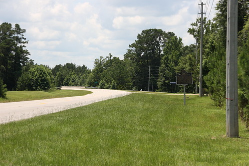
Major Robert Farmar Plantation Historical Marker Location / P2013-0622D135
alabama explore bayou swamp spanishmoss cypresstrees wetland deadlake mobiletensawdelta trex7000
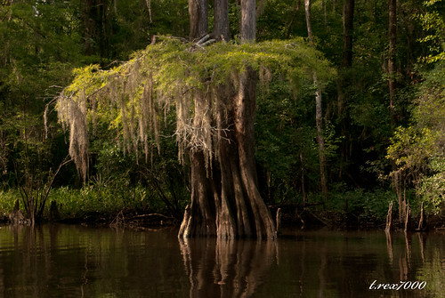
CYPRESS AND MOSS
autumn abandoned mobile landscape pier alabama mobiletensawdelta trex7000
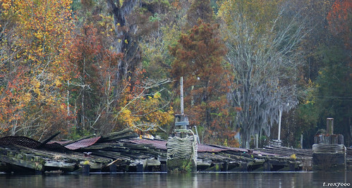
ABANDONED PIER
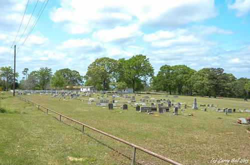
cemetery unitedstates alabama satsuma larrybell mobilecounty larebel larebell satsumacemetery
DSC_0374.jpg
seymourbluffcemetery chastang mobilecounty alabama larrybell larebell larebel cemetery southernphotosoutlookcom
DSCN2372.jpg
alabama bucks larrybell mobilecounty ellicottsstone larebel larebell
DSC_0009.jpg
alabama axis larrybell mobilecounty larebel bluffcemetery larebell
DSC_2915.jpg
36/52 It's a Book
sky 3152 project52 ellenburgphotography
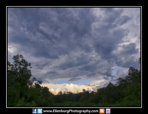
31/52 Sky over Creola-05a
nature garden landscape alabama stockton fantasticnature escc nikond300s camerasouth debbiegodard imagesofbaldwincounty
DSC_6578-web
alabama mountvernon larrybell mobilecounty larebel larebell duclouxfamilycemetery
DSCN5879.jpg
square squareformat iphoneography instagramapp uploaded:by=instagram
#CloudFormations #skyview #skyline #Mobile #Alabama
camp water mobile marina landscape boat al fishing cabin alabama delta bayou swamp float causeway wetland deliverance boatlaunch gulfcoast fishingcamp fishingcabin mobiletensawdelta trex7000
FISHERMAN'S PARADISE
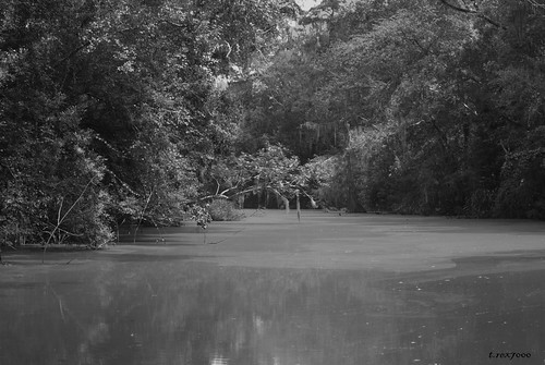
blackandwhite bw rural landscape alabama southern bayou swamp spanishmoss wetland deadlake mobiletensawdelta trex7000 arpub
LANDSCAPE B/W
unitedstates alabama stockton baldwin historicmarker baldwincounty bayminette larebel larebell southernphotosoutlookcom
DSC_0211.jpg
sky 3152 project52 ellenburgphotography
31/52 Sky over Creola-13a
old trees bw house rural landscape blind rustic alabama hunting southern wilderness mobiletensawdelta trex7000 arpub
SHOOTING HOUSE B/W
blackandwhite bw rural landscape alabama southern bayou swamp spanishmoss wetland mobiletensawdelta trex7000
LANDSCAPE B/W
blackandwhite water mobile marina landscape alabama swamp wetland
B/W MARINA
cemetery unitedstates alabama larrybell mobilecounty larebel chunchula larebell turnervillecemetery
DSC_1971.jpg
alabama axis larrybell mobilecounty larebel bluffcemetery larebell
DSC_2914.jpg
cemetery unitedstates alabama larrybell mobilecounty larebel chunchula larebell turnervillecemetery
DSCN5433.jpg