Elevation of US-30, Burley, ID, USA
Location: United States > Idaho > Cassia County > Burley >
Longitude: -113.84089
Latitude: 42.5336191
Elevation: 1269m / 4163feet
Barometric Pressure: 87KPa
Elevation Map:
Satellite Map:
Related Photos:

Paul Idaho - Old LDS Meetinghouse View #3
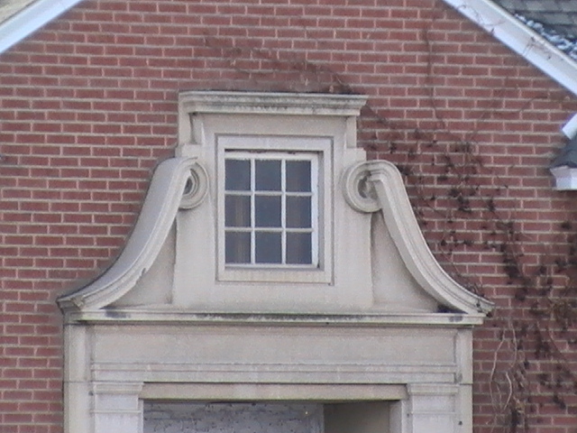
Paul Idaho - Old LDS Meetinghouse View #2
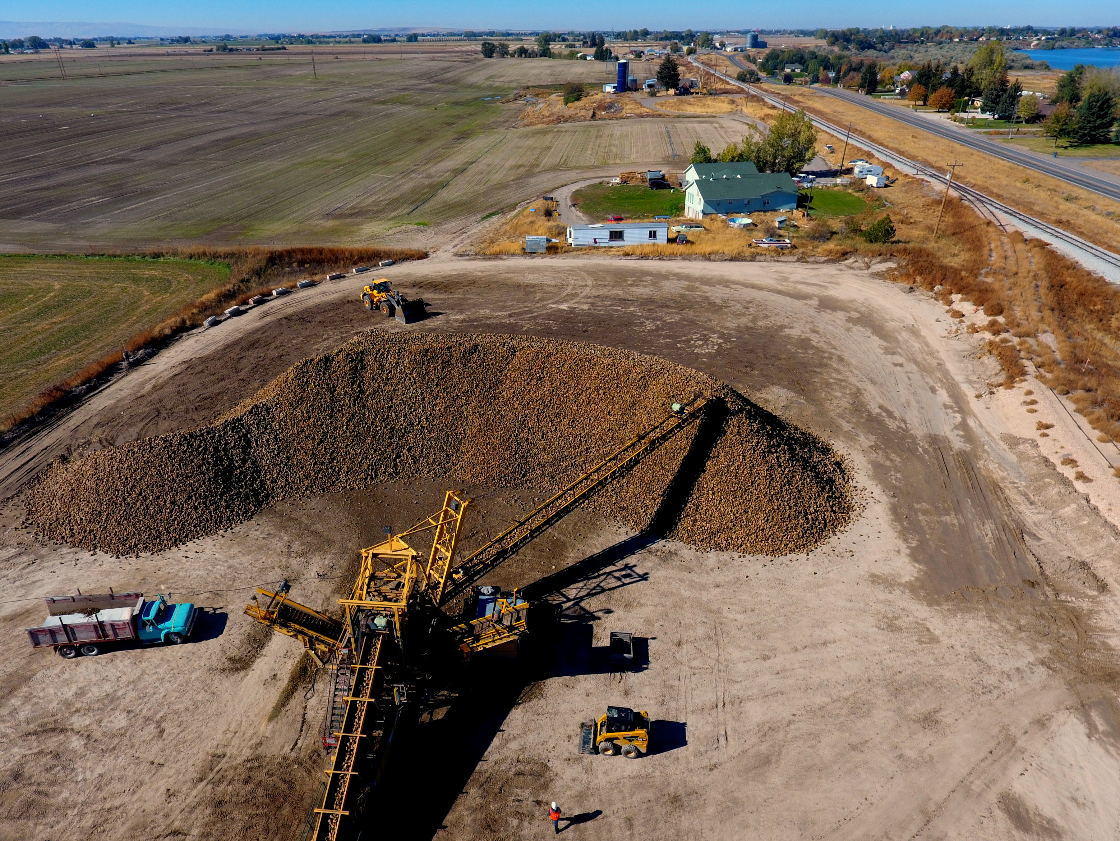
Burley beet dump
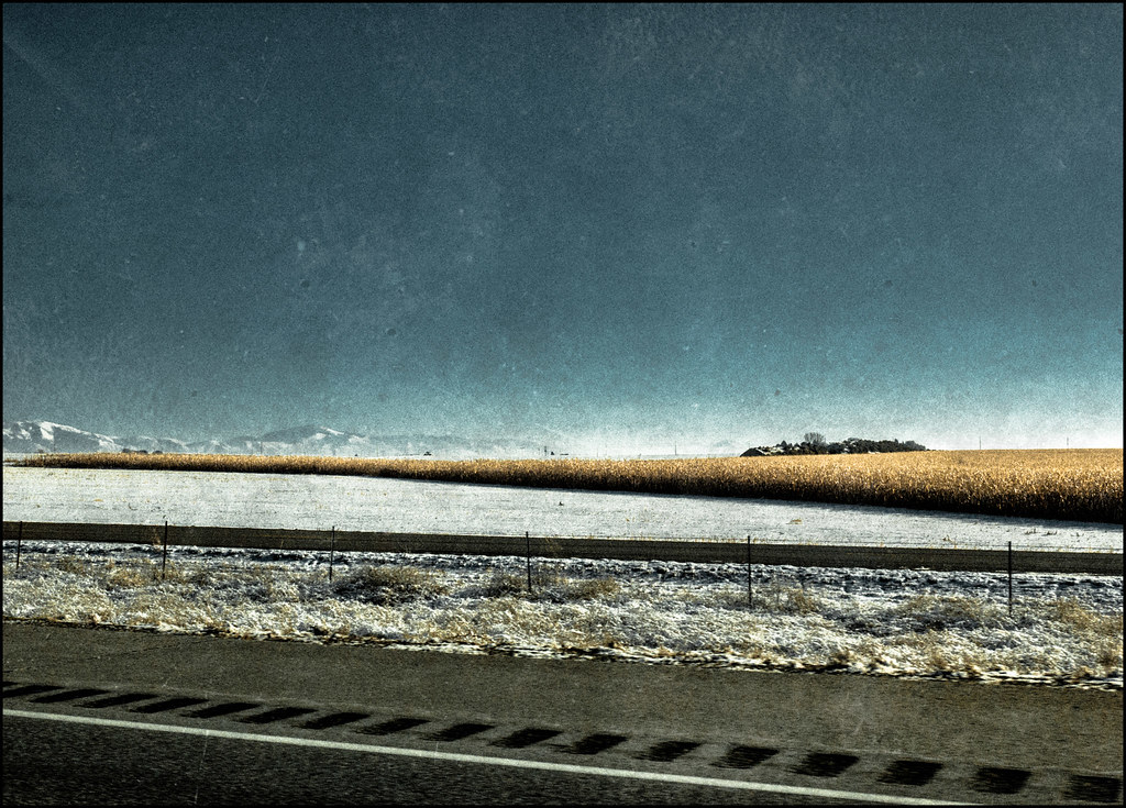
The Distant Mountains - 2014
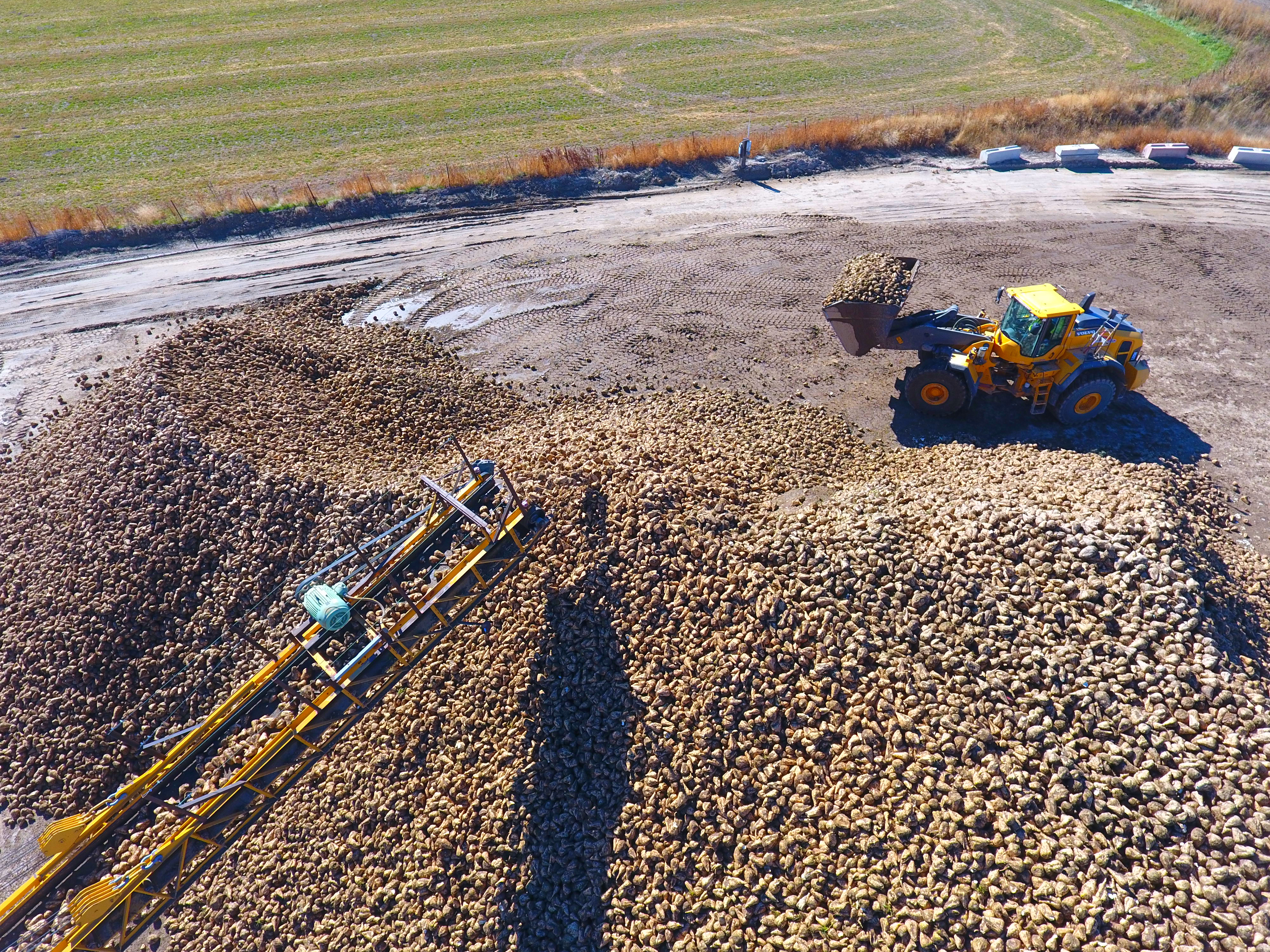
Beet pile

[IDAHO-A-0299] Milner Dam
Rather desolate here
Watching Potatoes Grow

The Milner Mile

Milner Mile 2

Irrigation Idaho
CW6A6852.jpg
#birds #Nature #Idaho
102_9764.jpg

102_9949.jpg
Topographic Map of US-30, Burley, ID, USA
Find elevation by address:

Places near US-30, Burley, ID, USA:
70 N 50 W, Burley, ID, USA
Burley
350 Palmer Rd
1501 Hiland Ave
Heyburn
Paul
E Idaho St, Paul, ID, USA
W S, Burley, ID, USA
50 S 500 W
378 W 100 N
66 S E, Burley, ID, USA
Rupert
G St, Rupert, ID, USA
Declo
S E, Declo, ID, USA
Albion
ID-24, Rupert, ID, USA
Thompson Flat Campground
Twin Lakes Campground
Cassia County
Recent Searches:
- Elevation of Corso Fratelli Cairoli, 35, Macerata MC, Italy
- Elevation of Tallevast Rd, Sarasota, FL, USA
- Elevation of 4th St E, Sonoma, CA, USA
- Elevation of Black Hollow Rd, Pennsdale, PA, USA
- Elevation of Oakland Ave, Williamsport, PA, USA
- Elevation of Pedrógão Grande, Portugal
- Elevation of Klee Dr, Martinsburg, WV, USA
- Elevation of Via Roma, Pieranica CR, Italy
- Elevation of Tavkvetili Mountain, Georgia
- Elevation of Hartfords Bluff Cir, Mt Pleasant, SC, USA