Elevation of ID-24, Rupert, ID, USA
Location: United States > Idaho > Minidoka County > Rupert >
Longitude: -113.70974
Latitude: 42.804517
Elevation: 1322m / 4337feet
Barometric Pressure: 86KPa
Elevation Map:
Satellite Map:
Related Photos:
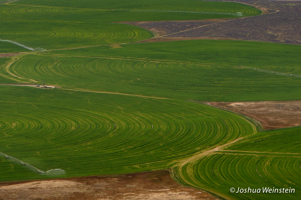
Fields Along Craters
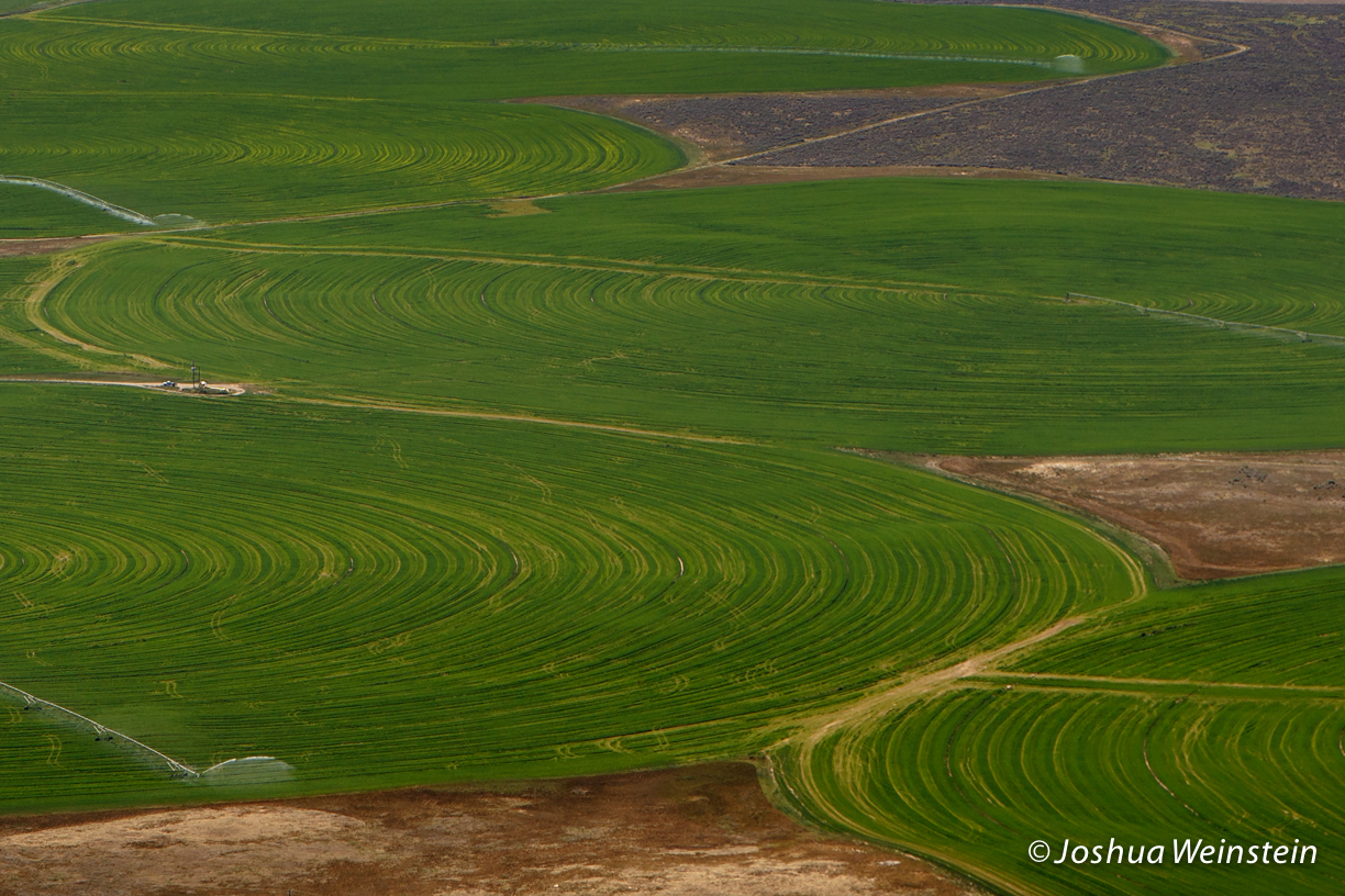
Fields Along Craters
Topographic Map of ID-24, Rupert, ID, USA
Find elevation by address:

Places near ID-24, Rupert, ID, USA:
Minidoka County
378 W 100 N
Rupert
G St, Rupert, ID, USA
50 S 500 W
E Idaho St, Paul, ID, USA
Paul
405c
Heyburn
70 N 50 W, Burley, ID, USA
1501 Hiland Ave
Burley
66 S E, Burley, ID, USA
Declo
S E, Declo, ID, USA
218 Us-30
350 Palmer Rd
W S, Burley, ID, USA
Albion
Craters Of The Moon National Monument & Preserve
Recent Searches:
- Elevation of Corso Fratelli Cairoli, 35, Macerata MC, Italy
- Elevation of Tallevast Rd, Sarasota, FL, USA
- Elevation of 4th St E, Sonoma, CA, USA
- Elevation of Black Hollow Rd, Pennsdale, PA, USA
- Elevation of Oakland Ave, Williamsport, PA, USA
- Elevation of Pedrógão Grande, Portugal
- Elevation of Klee Dr, Martinsburg, WV, USA
- Elevation of Via Roma, Pieranica CR, Italy
- Elevation of Tavkvetili Mountain, Georgia
- Elevation of Hartfords Bluff Cir, Mt Pleasant, SC, USA