Elevation of Heyburn, ID, USA
Location: United States > Idaho > Minidoka County >
Longitude: -113.76390
Latitude: 42.5585201
Elevation: 1264m / 4147feet
Barometric Pressure: 87KPa
Elevation Map:
Satellite Map:
Related Photos:
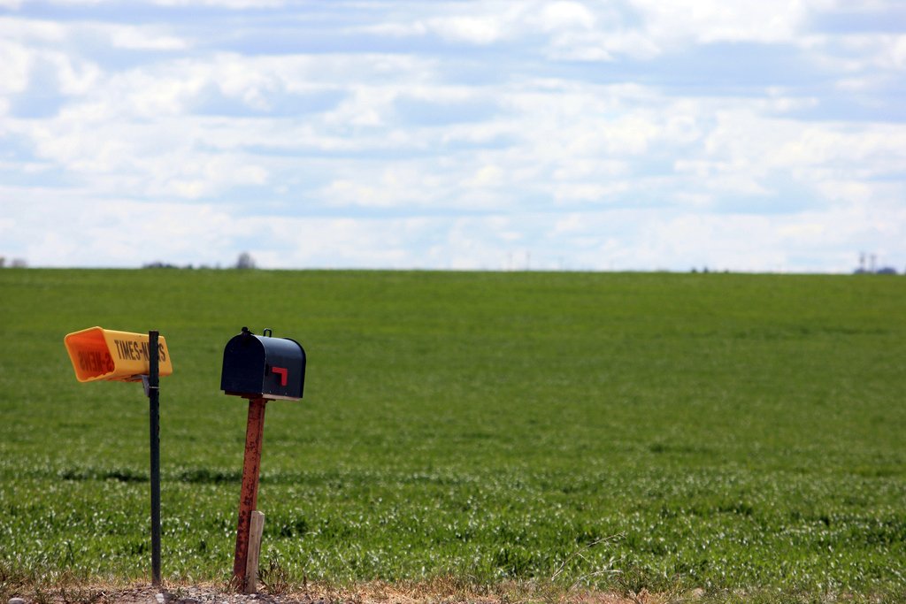
The View
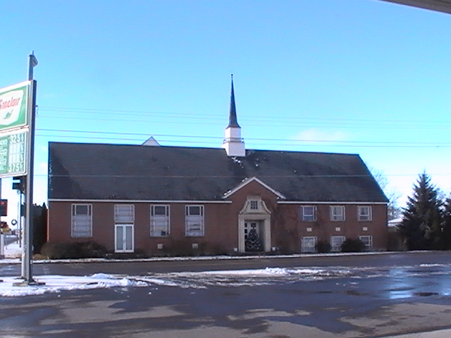
Paul Idaho - Old LDS Meetinghouse View #4
Paul Idaho - Old LDS Meetinghouse View #2

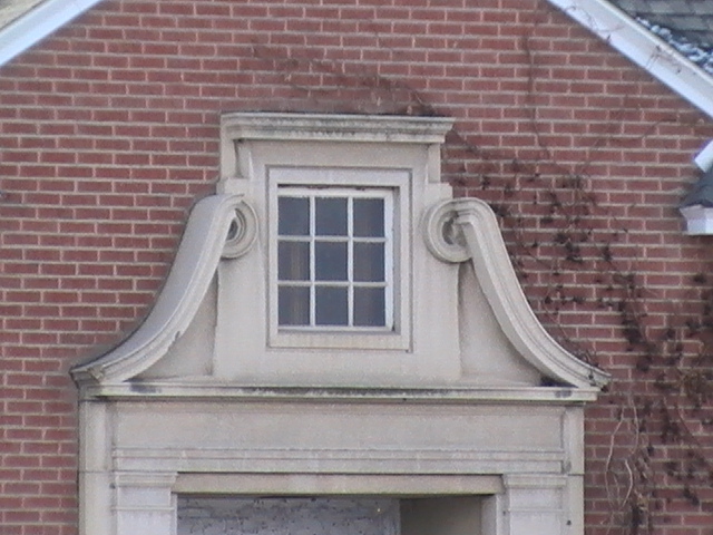
Paul Idaho - Old LDS Meetinghouse View #3
Watching Potatoes Grow
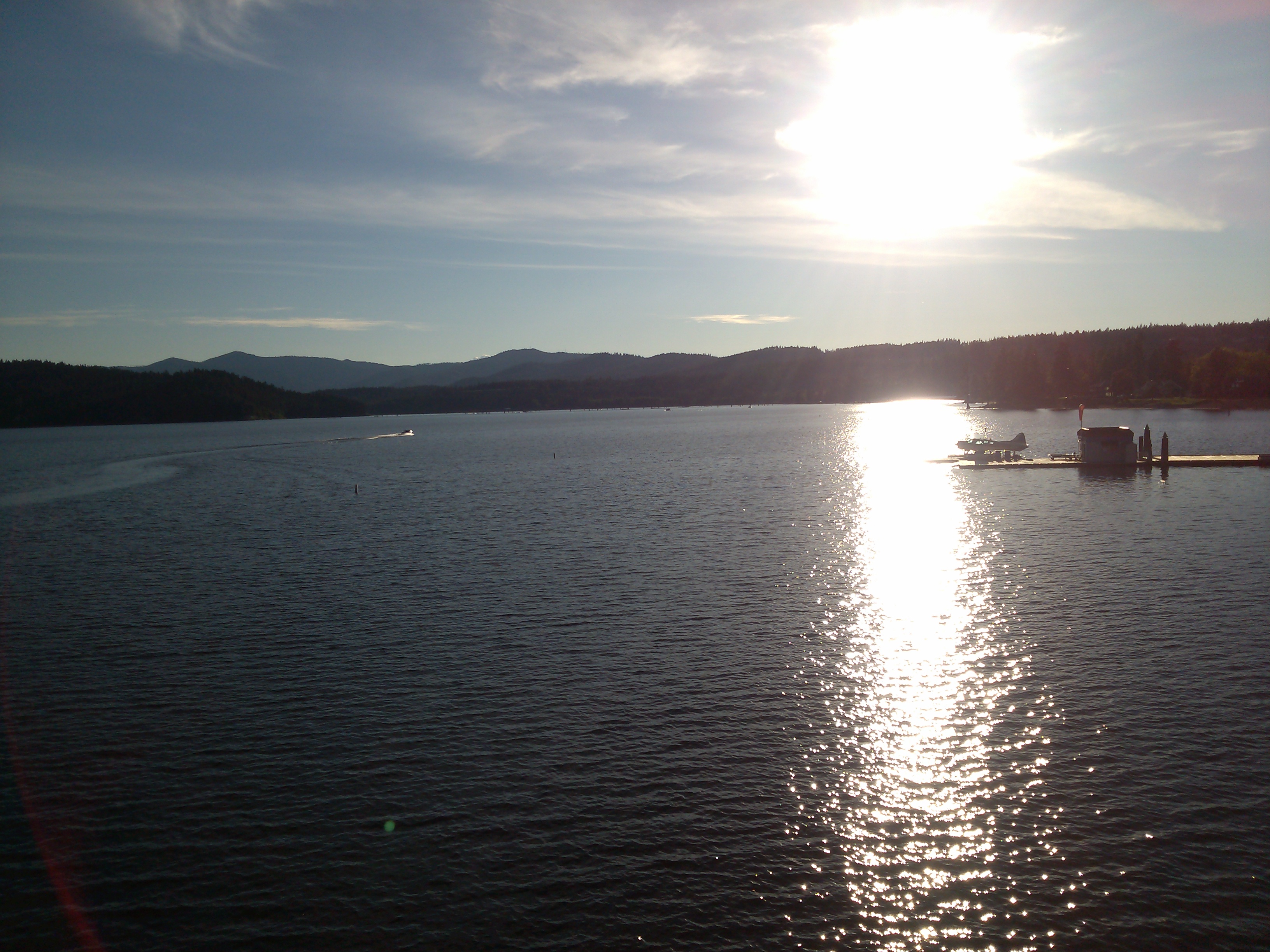
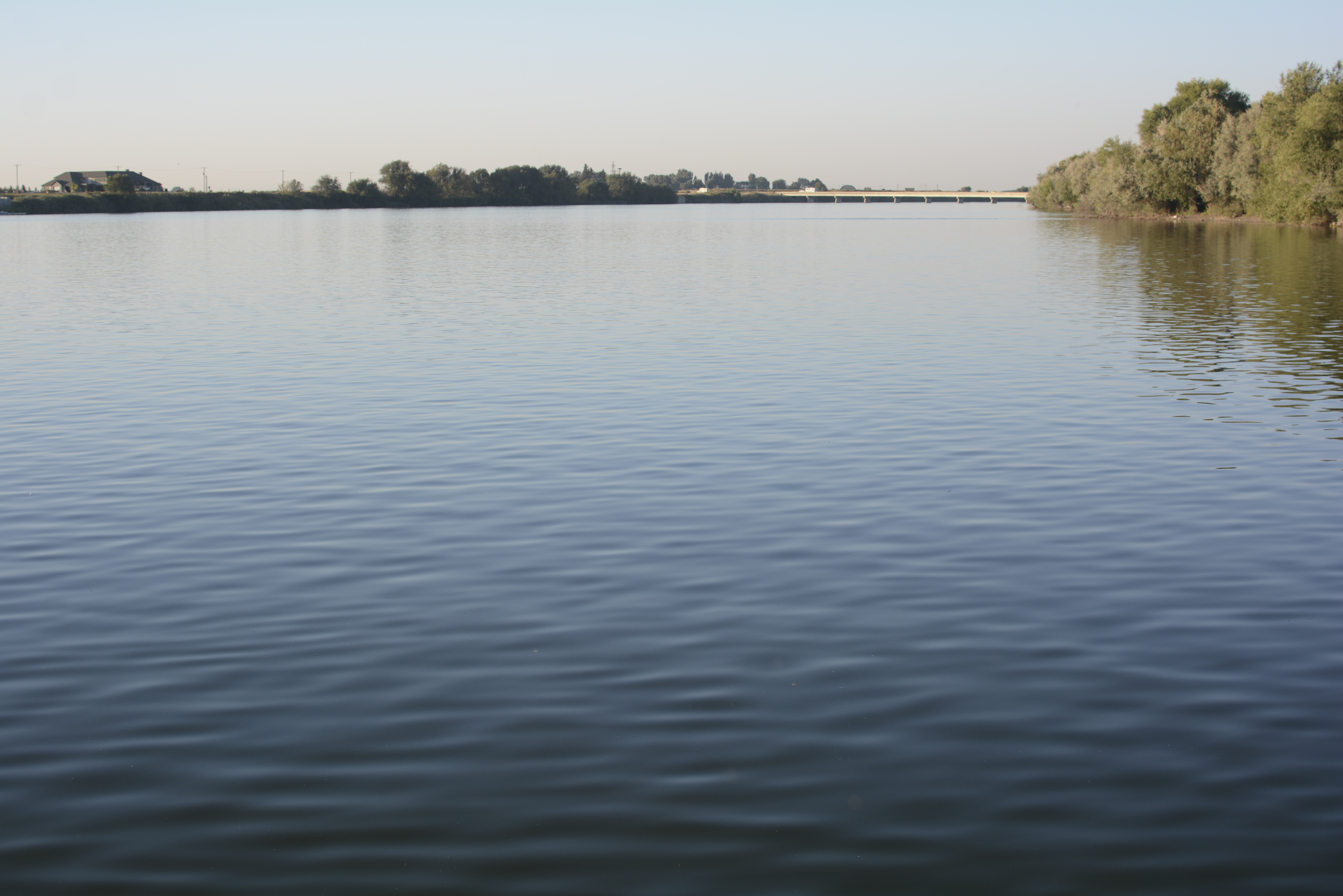
Crossing the Snake River - Idaho
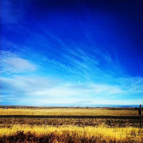
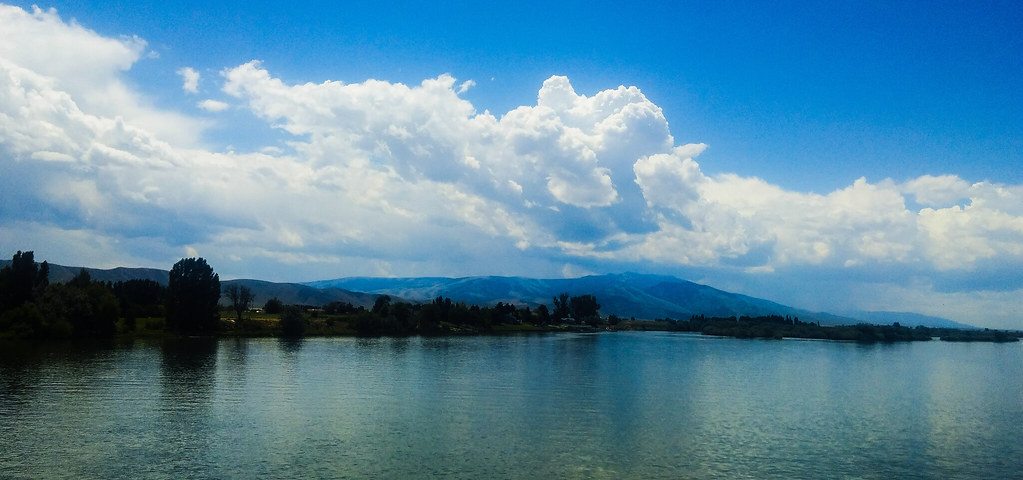
clear skies for lame and water

Tree and Sky

Irrigation Idaho
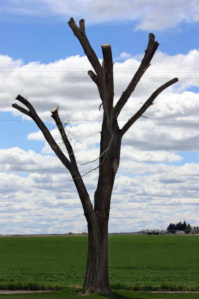
Tree Cut
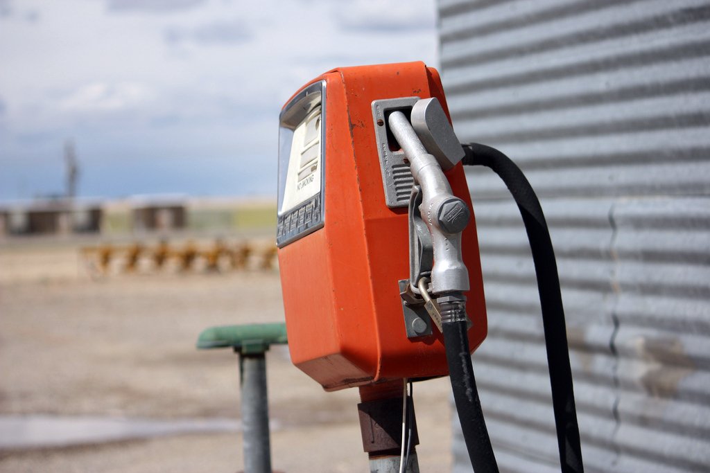
Gas Pump
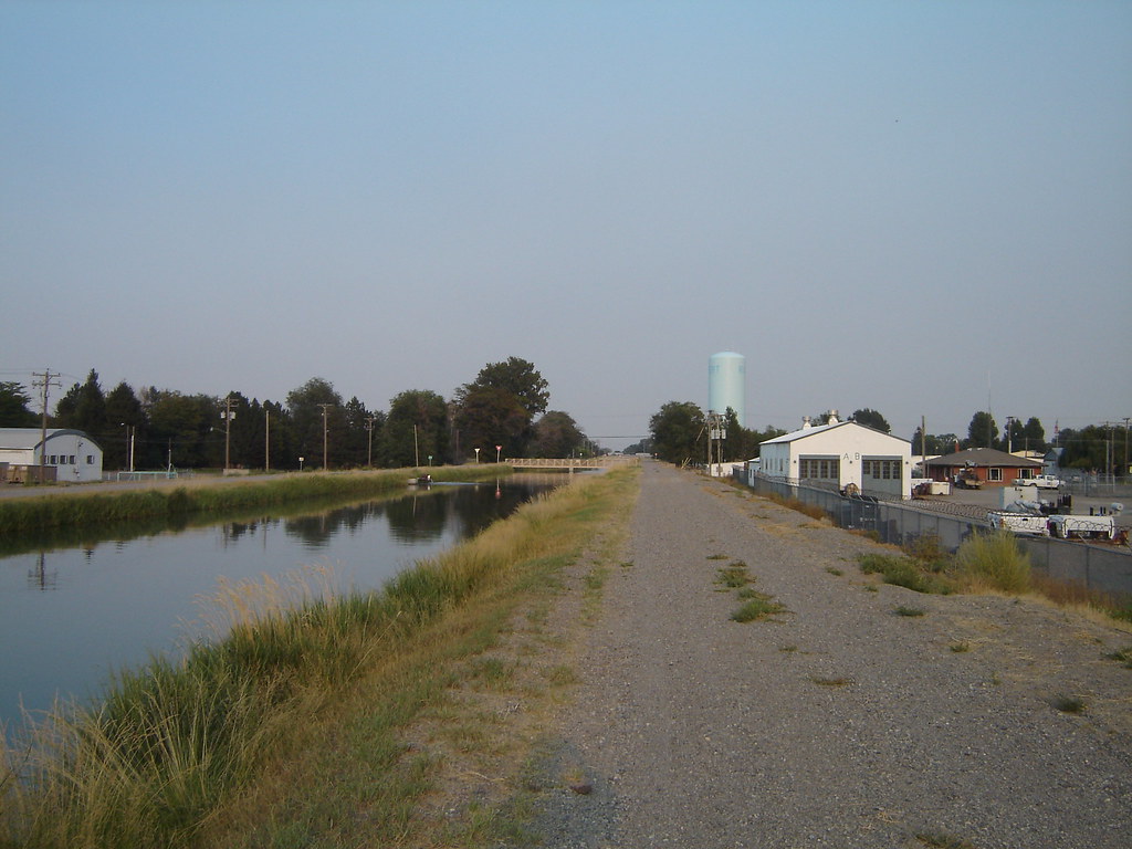
Rupert canal

#birds #Nature #Idaho
CW6A6852.jpg
102_9764.jpg
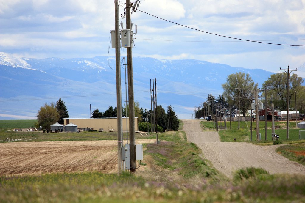
Country Mile

102_9949.jpg
Valley of Trees RV Park Declo ID (17)

Valley of Trees RV Park Declo ID (16)
Rather desolate here
Chicken Barn
Topographic Map of Heyburn, ID, USA
Find elevation by address:

Places near Heyburn, ID, USA:
1501 Hiland Ave
Burley
70 N 50 W, Burley, ID, USA
E Idaho St, Paul, ID, USA
Paul
50 S 500 W
350 Palmer Rd
378 W 100 N
218 Us-30
66 S E, Burley, ID, USA
Rupert
G St, Rupert, ID, USA
Declo
S E, Declo, ID, USA
W S, Burley, ID, USA
Albion
ID-24, Rupert, ID, USA
Thompson Flat Campground
Cassia County
Twin Lakes Campground
Recent Searches:
- Elevation of Corso Fratelli Cairoli, 35, Macerata MC, Italy
- Elevation of Tallevast Rd, Sarasota, FL, USA
- Elevation of 4th St E, Sonoma, CA, USA
- Elevation of Black Hollow Rd, Pennsdale, PA, USA
- Elevation of Oakland Ave, Williamsport, PA, USA
- Elevation of Pedrógão Grande, Portugal
- Elevation of Klee Dr, Martinsburg, WV, USA
- Elevation of Via Roma, Pieranica CR, Italy
- Elevation of Tavkvetili Mountain, Georgia
- Elevation of Hartfords Bluff Cir, Mt Pleasant, SC, USA