Elevation map of Uryu District, Hokkaido Prefecture, Japan
Location: Japan > Hokkaido Prefecture >
Longitude: 141.87
Latitude: 43.71
Elevation: 88m / 289feet
Barometric Pressure: 100KPa
Elevation Map:
Satellite Map:
Related Photos:

20110605滝川菜の花サイクリング_295
Himawari no Sato

field of the sun
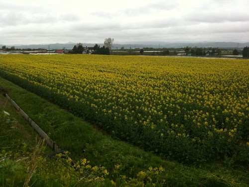
菜の花畑
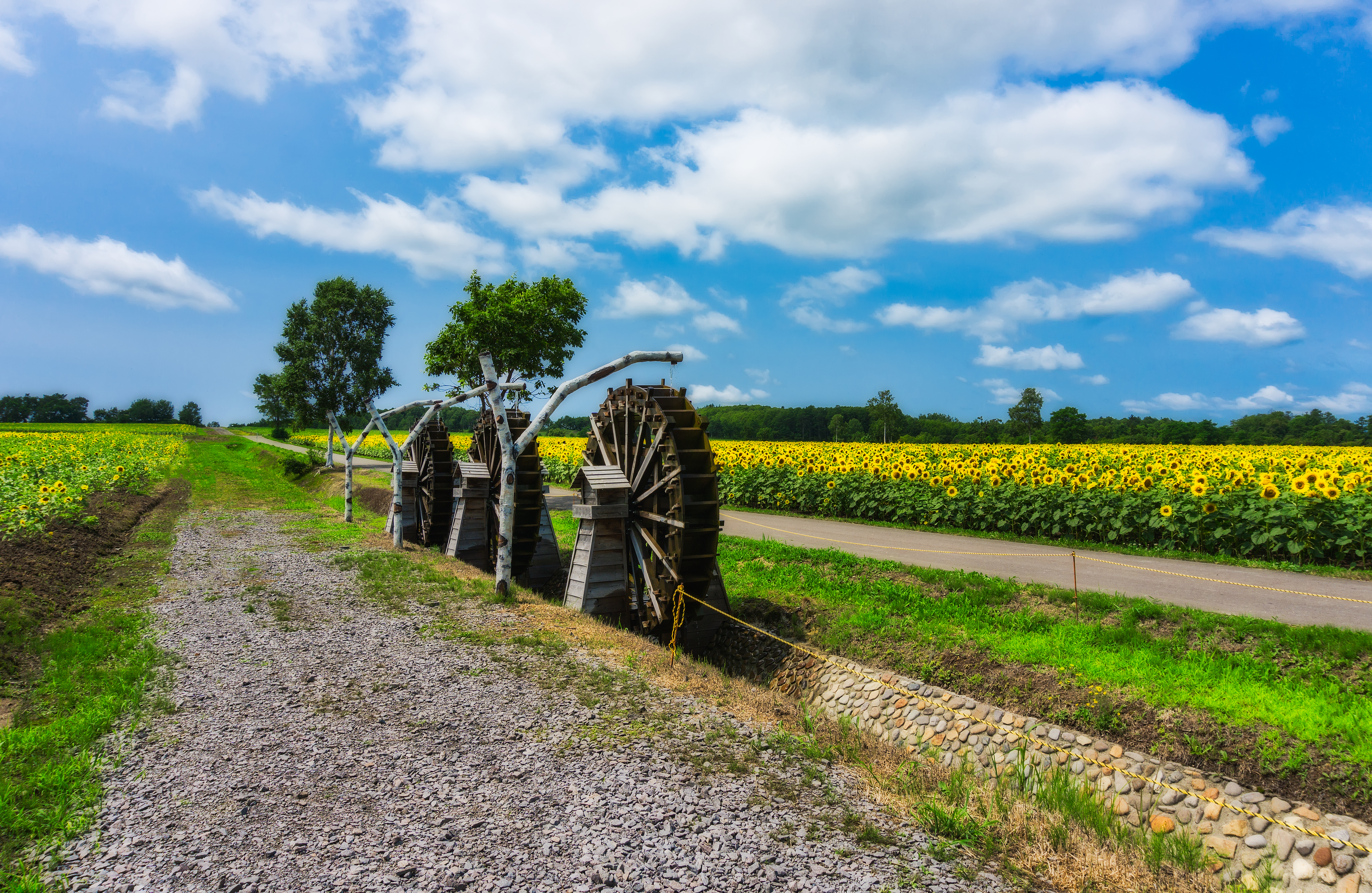
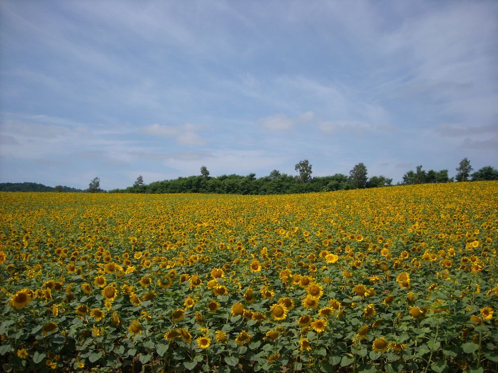
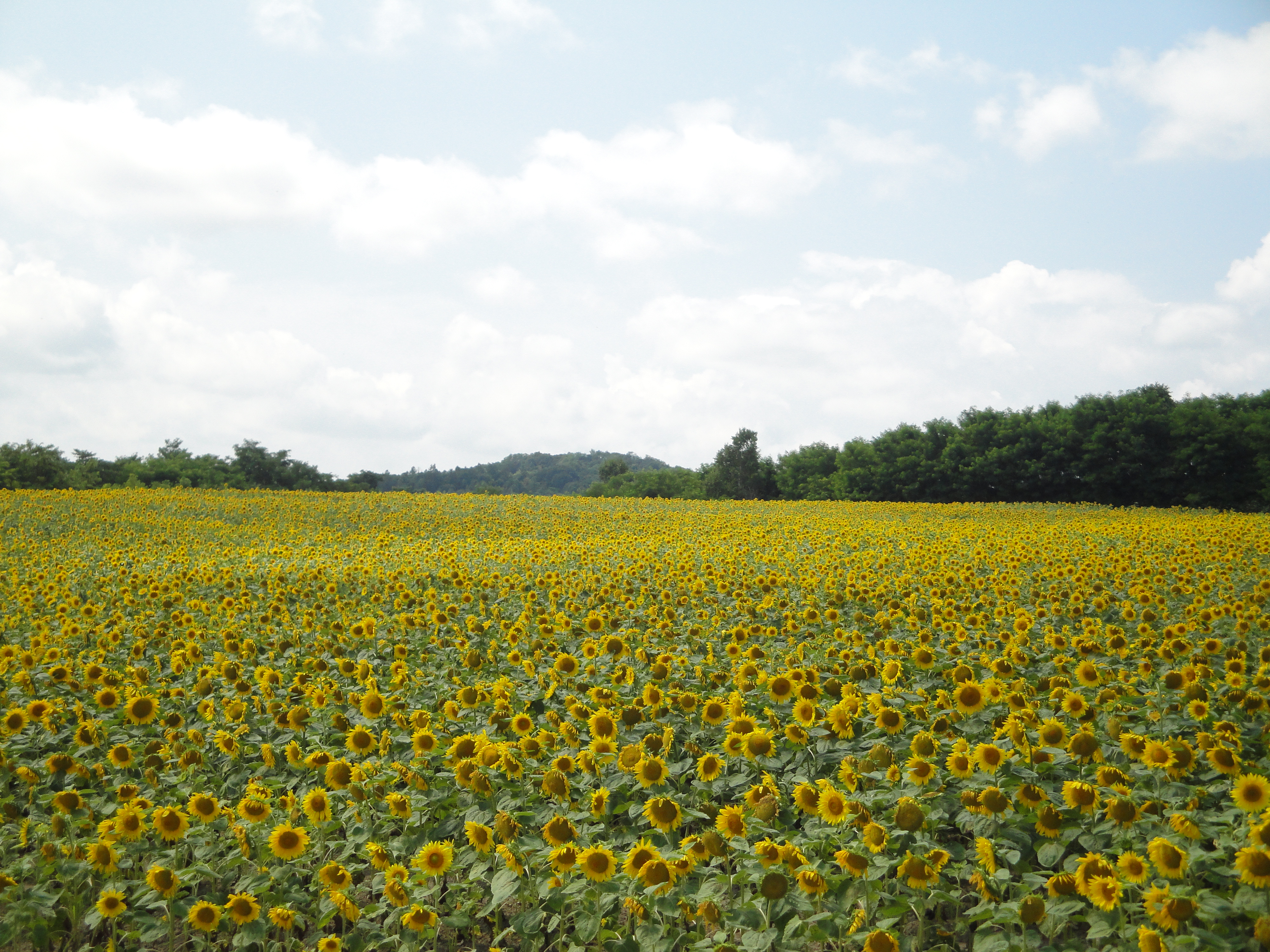
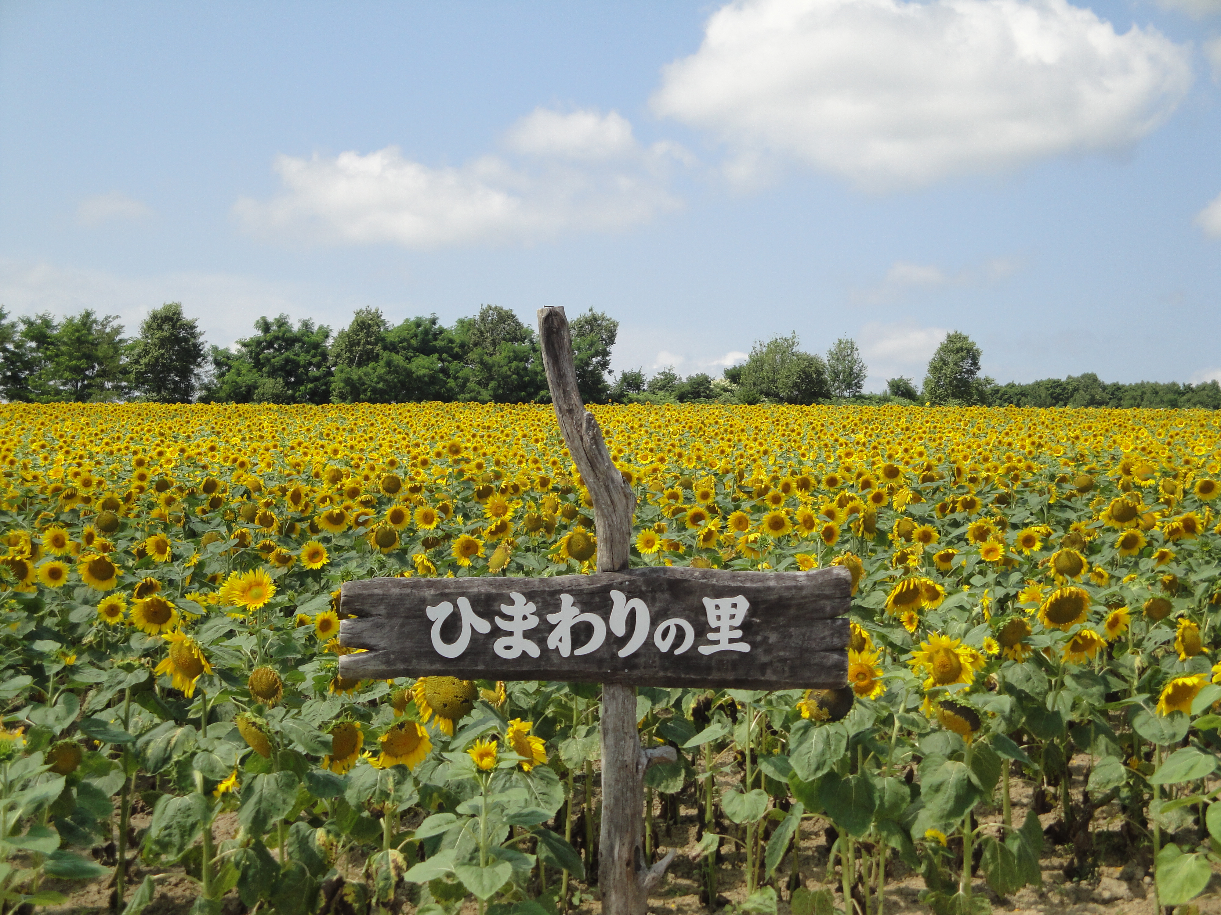
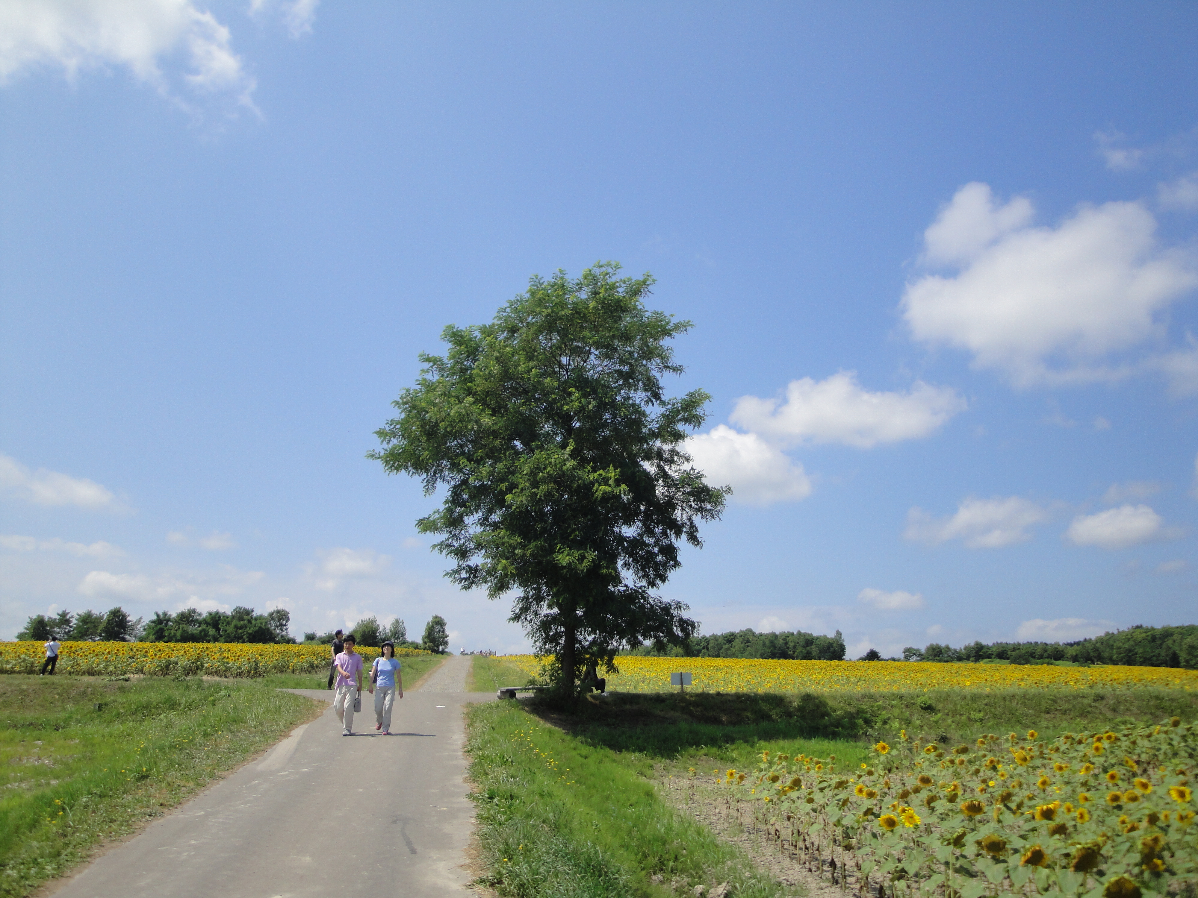
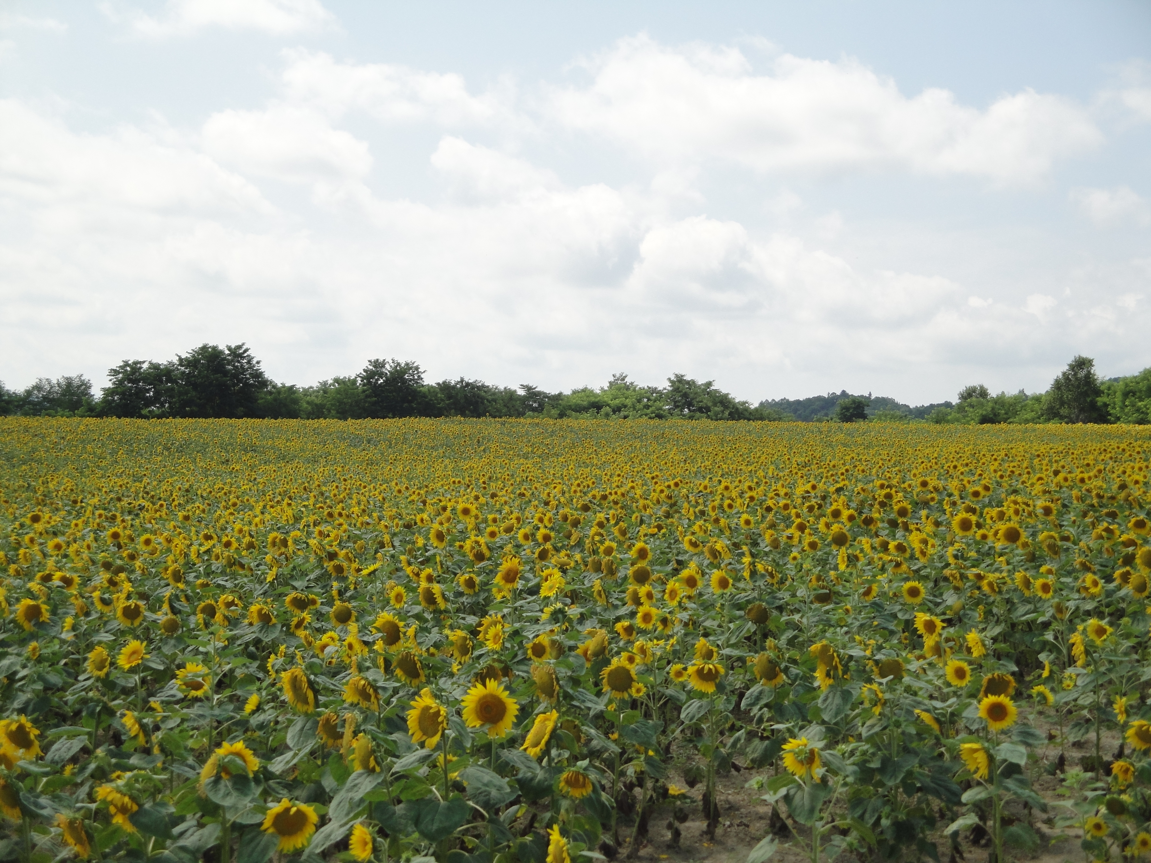
ひまわりの里
SDIM0529.jpg

北竜町ひまわりの里
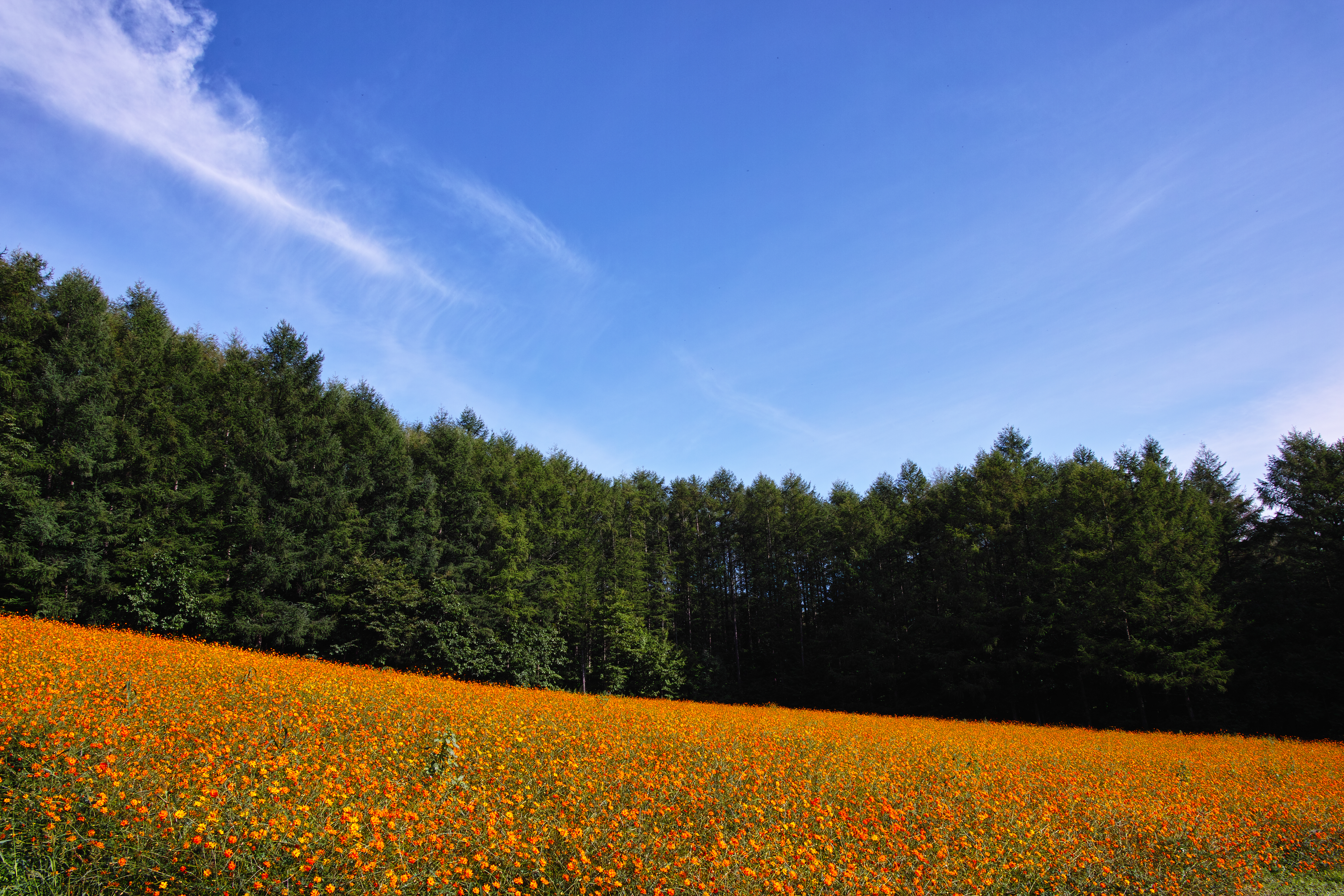
Cosmos in Farm Tomita

北竜町ひまわりの里

北竜町ひまわりの里
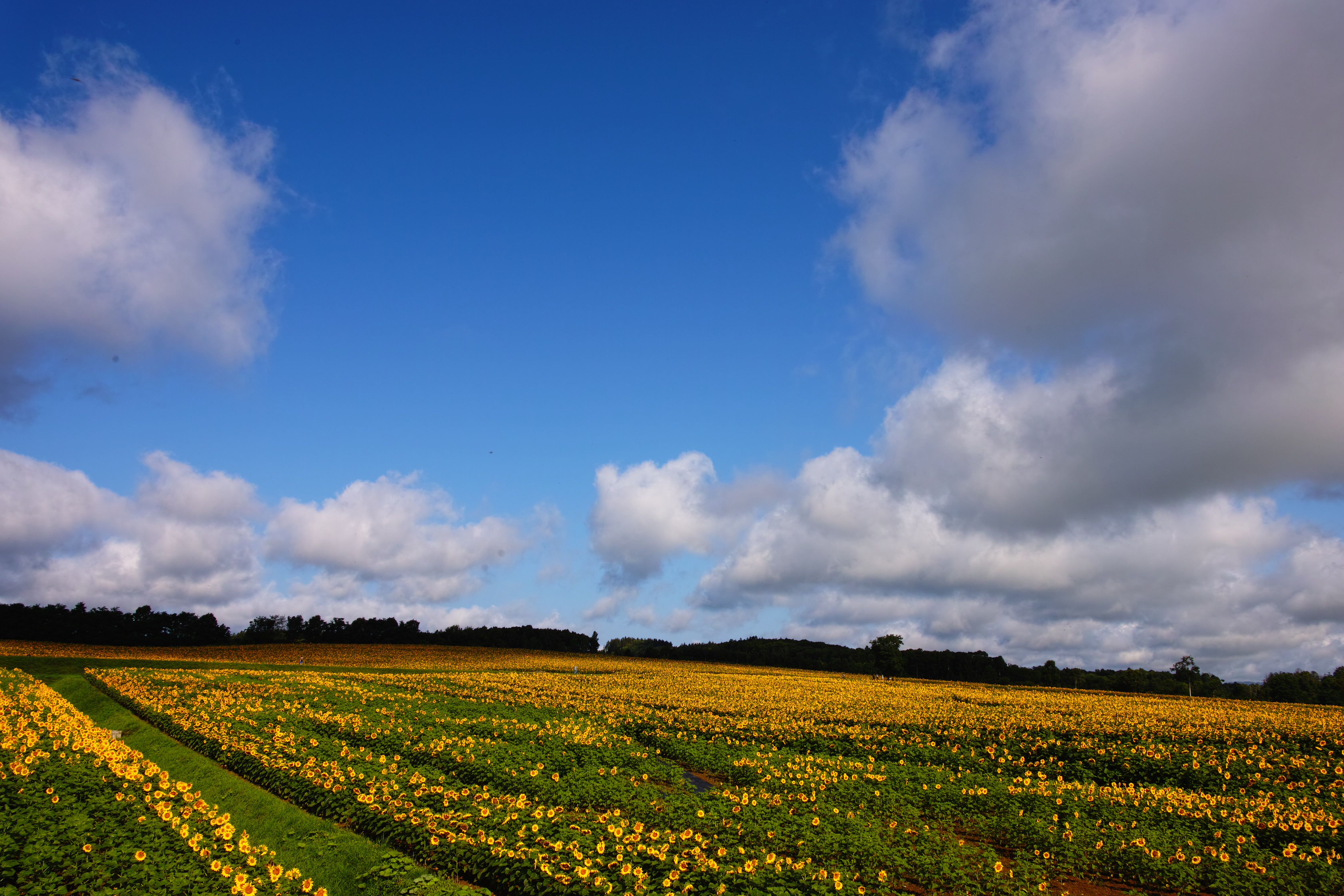
北竜のひまわり
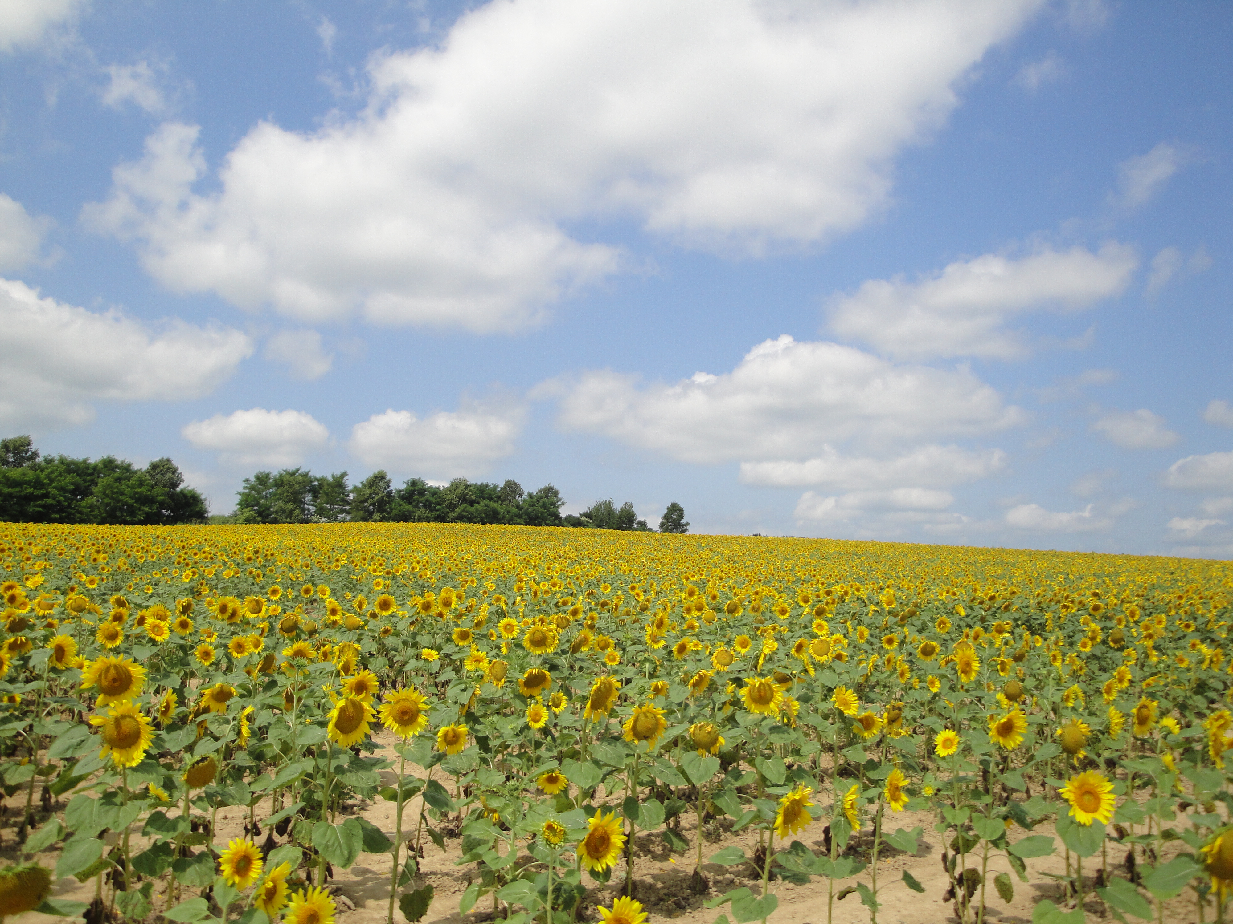
ひまわりの里
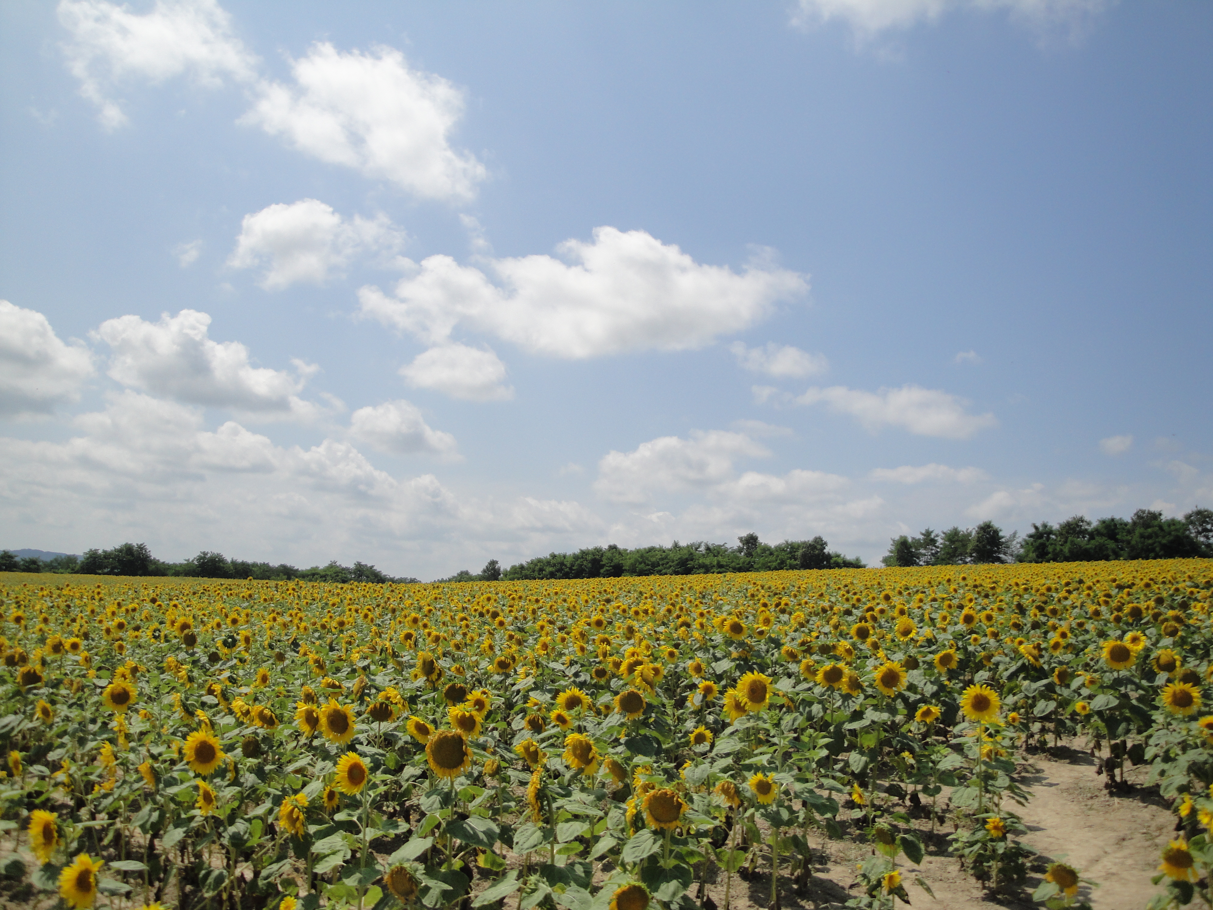
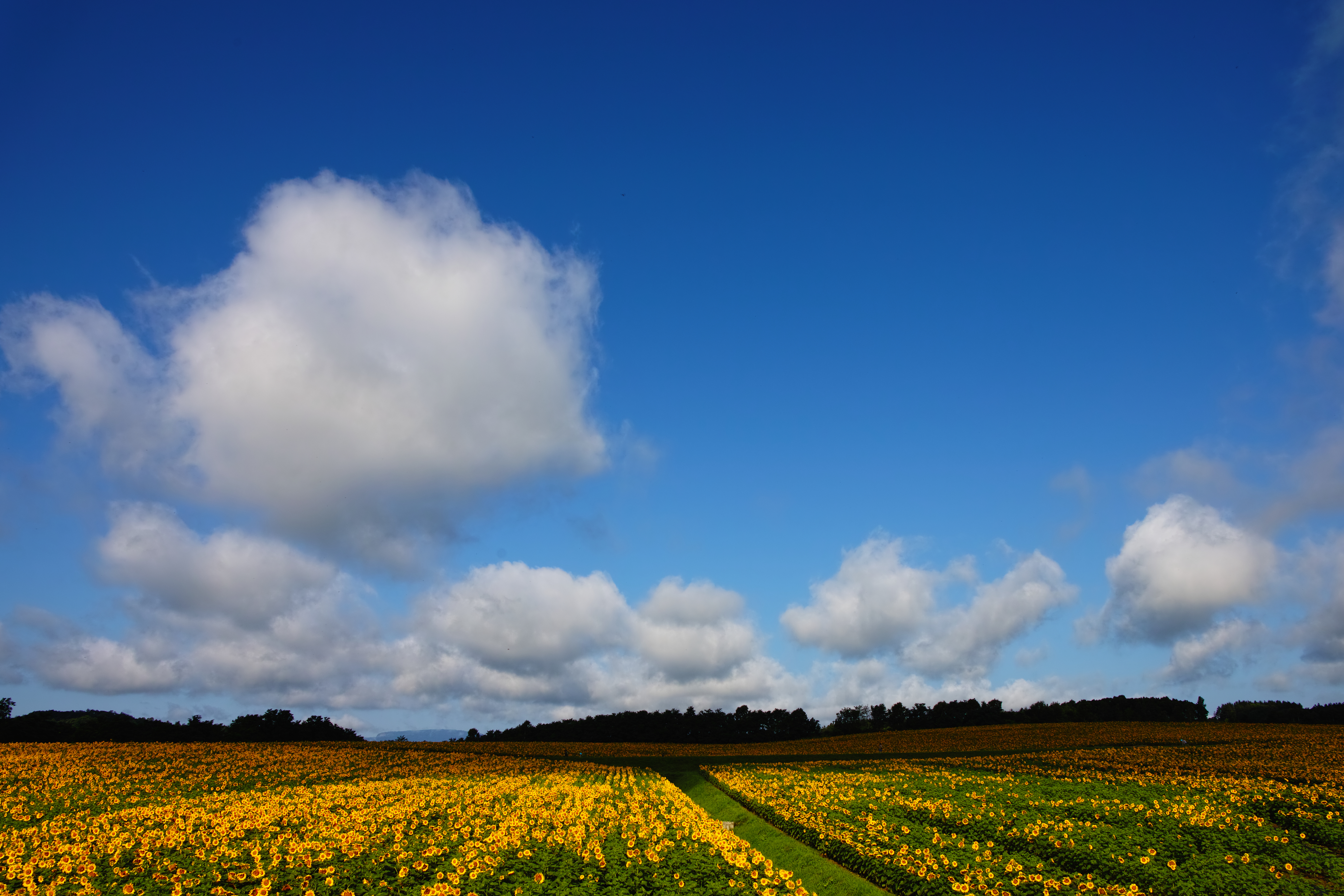
ひまわりの里

ひまわりの里
ひまわりの里

ひまわりの里
ひまわりの里

ひまわりの里
ひまわりの里

ひまわりの里
ひまわりの里
Topographic Map of Uryu District, Hokkaido Prefecture, Japan
Find elevation by address:

Places in Uryu District, Hokkaido Prefecture, Japan:
Places near Uryu District, Hokkaido Prefecture, Japan:
Hokuryu
33-1 Nishikawa, Hokuryū-chō, Uryū-gun, Hokkaidō -, Japan
70 Hekisui, Hokuryū-chō, Uryū-gun, Hokkaidō -, Japan
Misawa, Shintotsukawa-chō, Kabato-gun, Hokkaidō -, Japan
Moseushi
-28 Moseushi, Moseushi-chō, Uryū-gun, Hokkaidō -, Japan
Chippubetsu
Chippubetsu, Chippubetsu-chō, Uryū-gun, Hokkaidō -, Japan
Ebeotsuchō, Takikawa-shi, Hokkaidō -, Japan
1 Chome- Midorigaokachō, Rumoi-shi, Hokkaidō -, Japan
Rumoi
Mount Shokanbetsu
Mashike District
Shokansawa, Mashike-chō, Mashike-gun, Hokkaidō -, Japan
830 Shokansawa
Shokansawa
Mashike
Kotanbetsu, Tomamae-chō, Tomamae-gun, Hokkaidō -, Japan
Tomamae District
Tomamae
Recent Searches:
- Elevation of Corso Fratelli Cairoli, 35, Macerata MC, Italy
- Elevation of Tallevast Rd, Sarasota, FL, USA
- Elevation of 4th St E, Sonoma, CA, USA
- Elevation of Black Hollow Rd, Pennsdale, PA, USA
- Elevation of Oakland Ave, Williamsport, PA, USA
- Elevation of Pedrógão Grande, Portugal
- Elevation of Klee Dr, Martinsburg, WV, USA
- Elevation of Via Roma, Pieranica CR, Italy
- Elevation of Tavkvetili Mountain, Georgia
- Elevation of Hartfords Bluff Cir, Mt Pleasant, SC, USA