Elevation of Kotanbetsu, Tomamae-chō, Tomamae-gun, Hokkaidō -, Japan
Location: Japan > Hokkaido Prefecture > Tomamae District > Tomamae >
Longitude: 141.717265
Latitude: 44.2722799
Elevation: 9m / 30feet
Barometric Pressure: 101KPa
Elevation Map:
Satellite Map:
Related Photos:
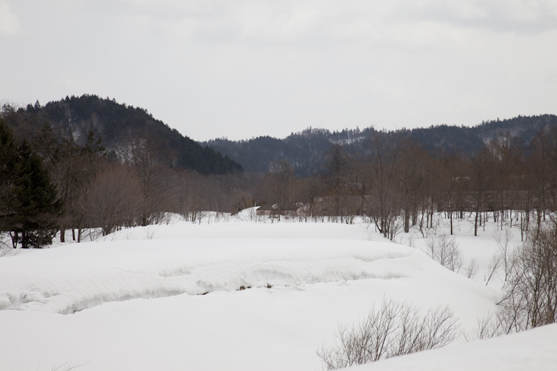
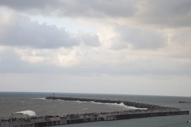
5D2-1806
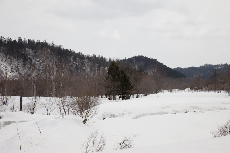
5D2-1808
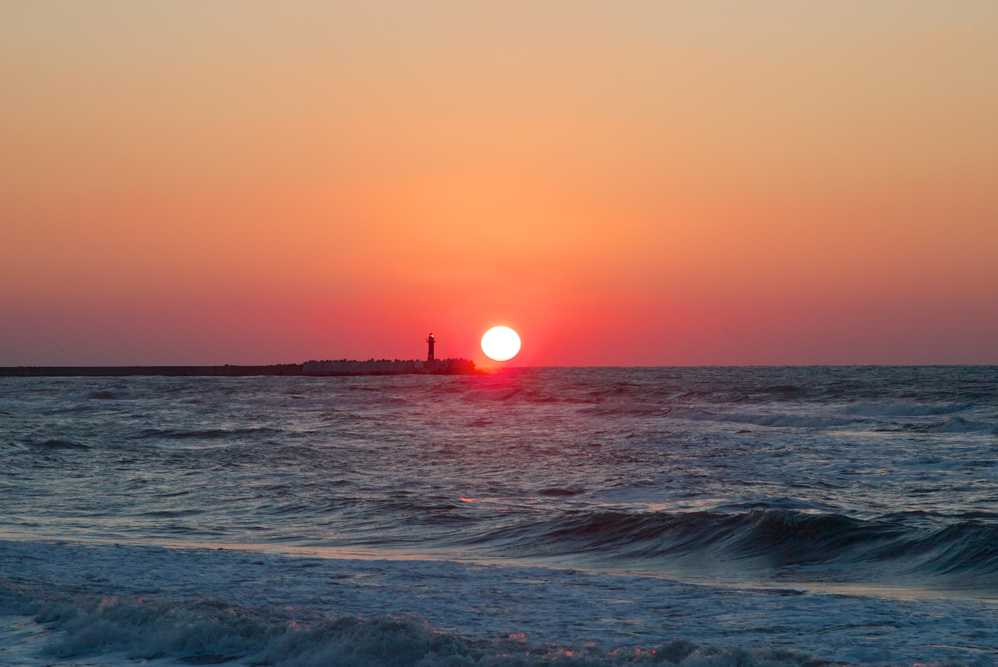
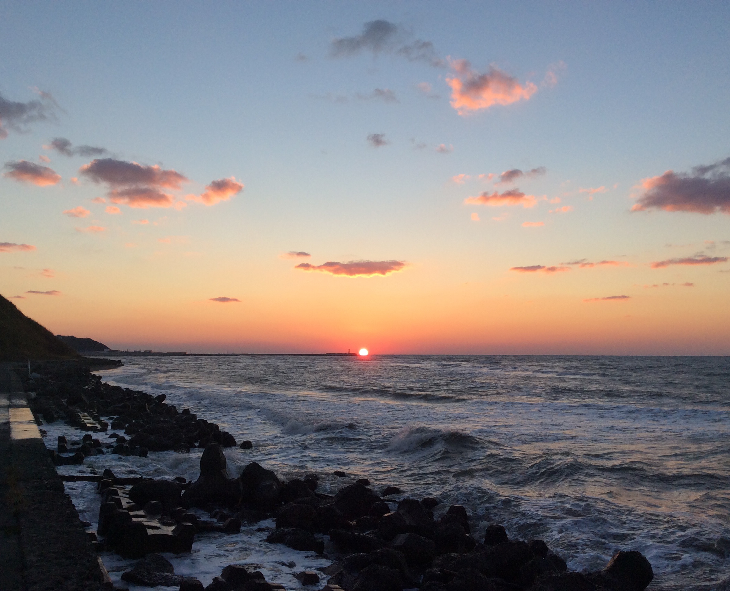
Tomamae Sunset 2
Tomamae Sunset 1
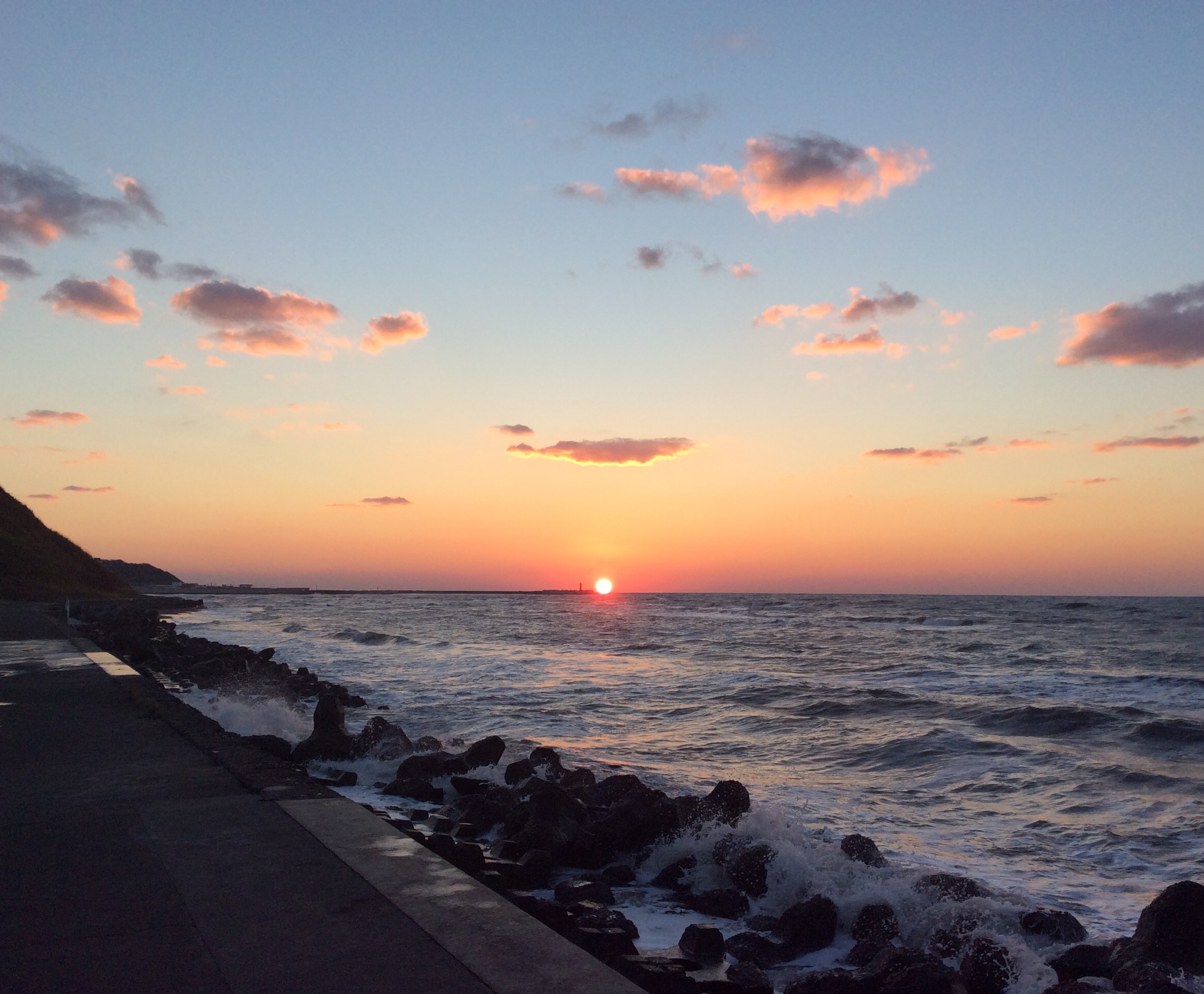
Sunset near Tomamae.
5D2-1812
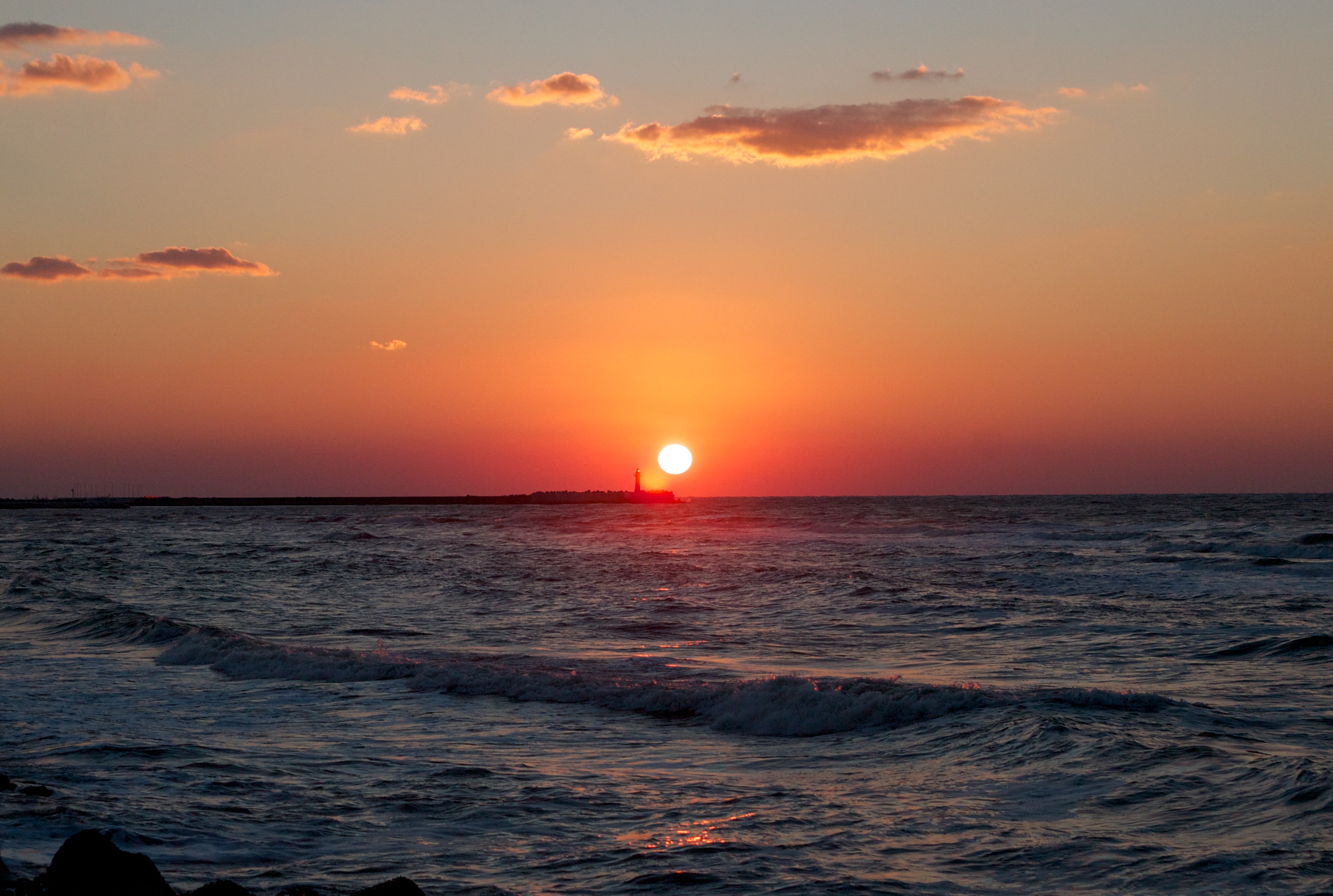
Tomamae Sunset 4
5D2-1815
5D2-1780
Sunset near Tomamae.
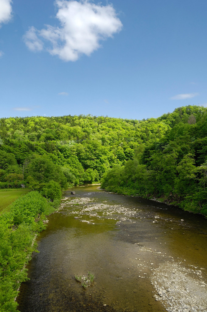
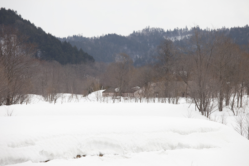
Green in June
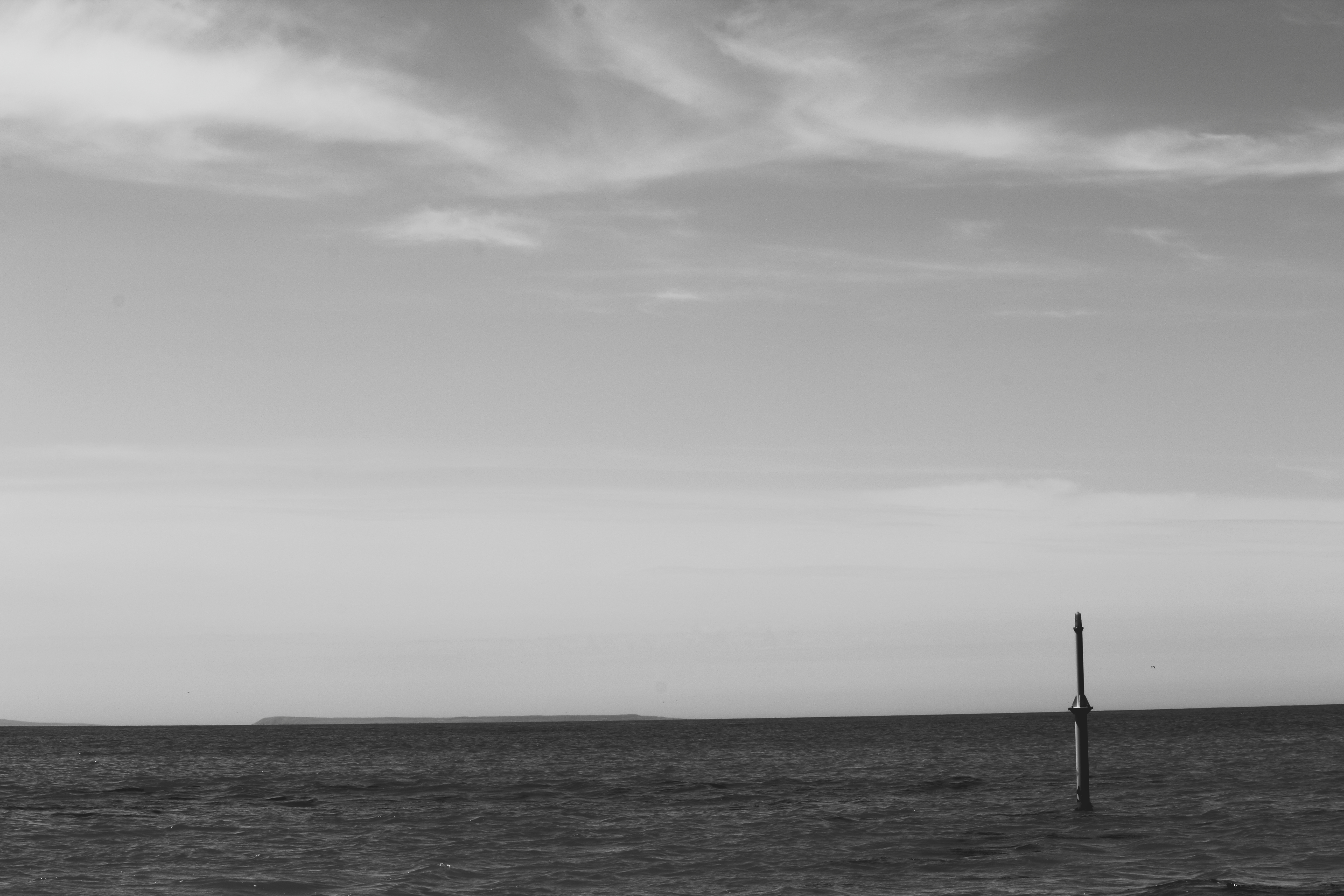
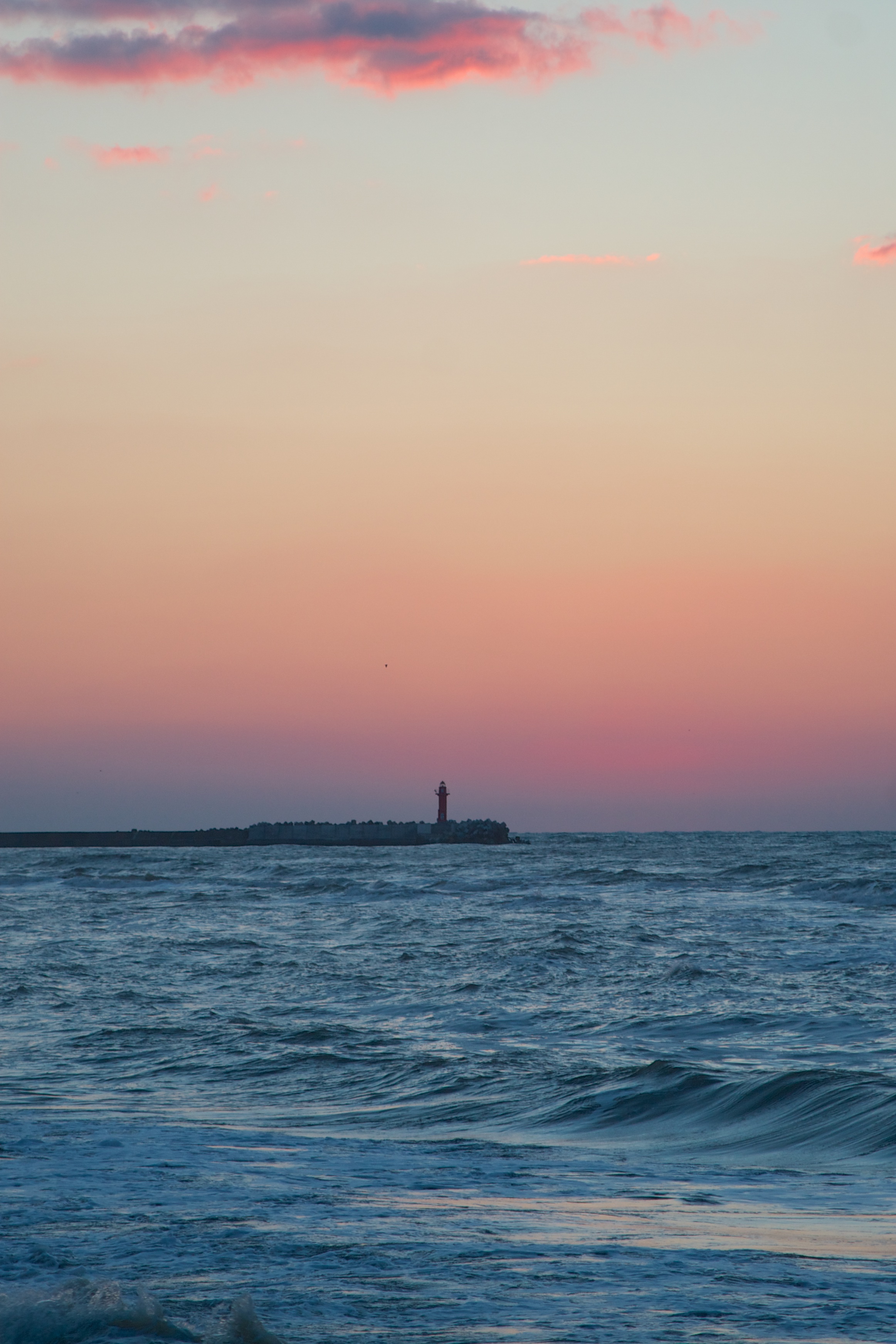
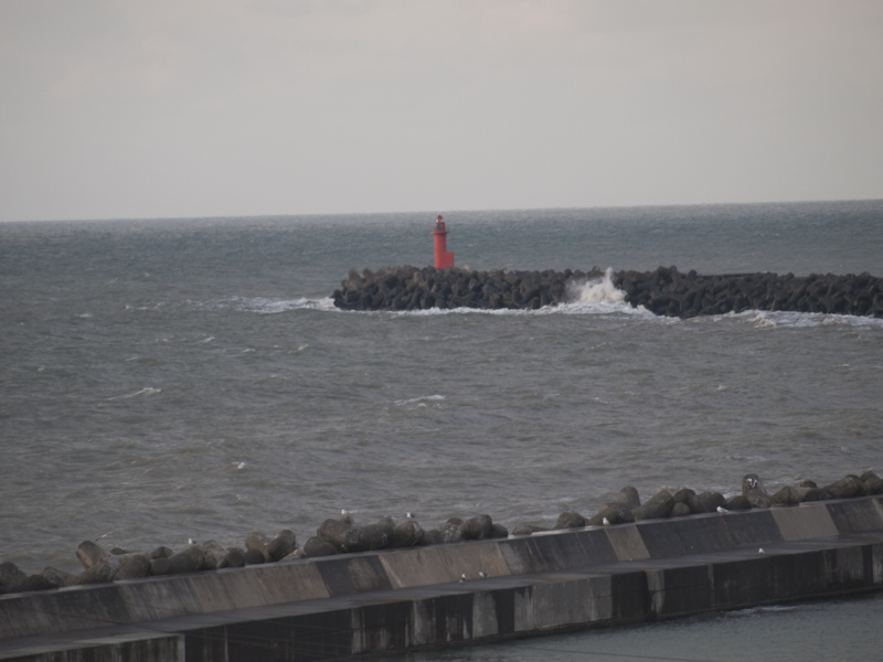
Japanese sea

Tomamae Sunset 3

E-P2-4030378
E-P2-4030378
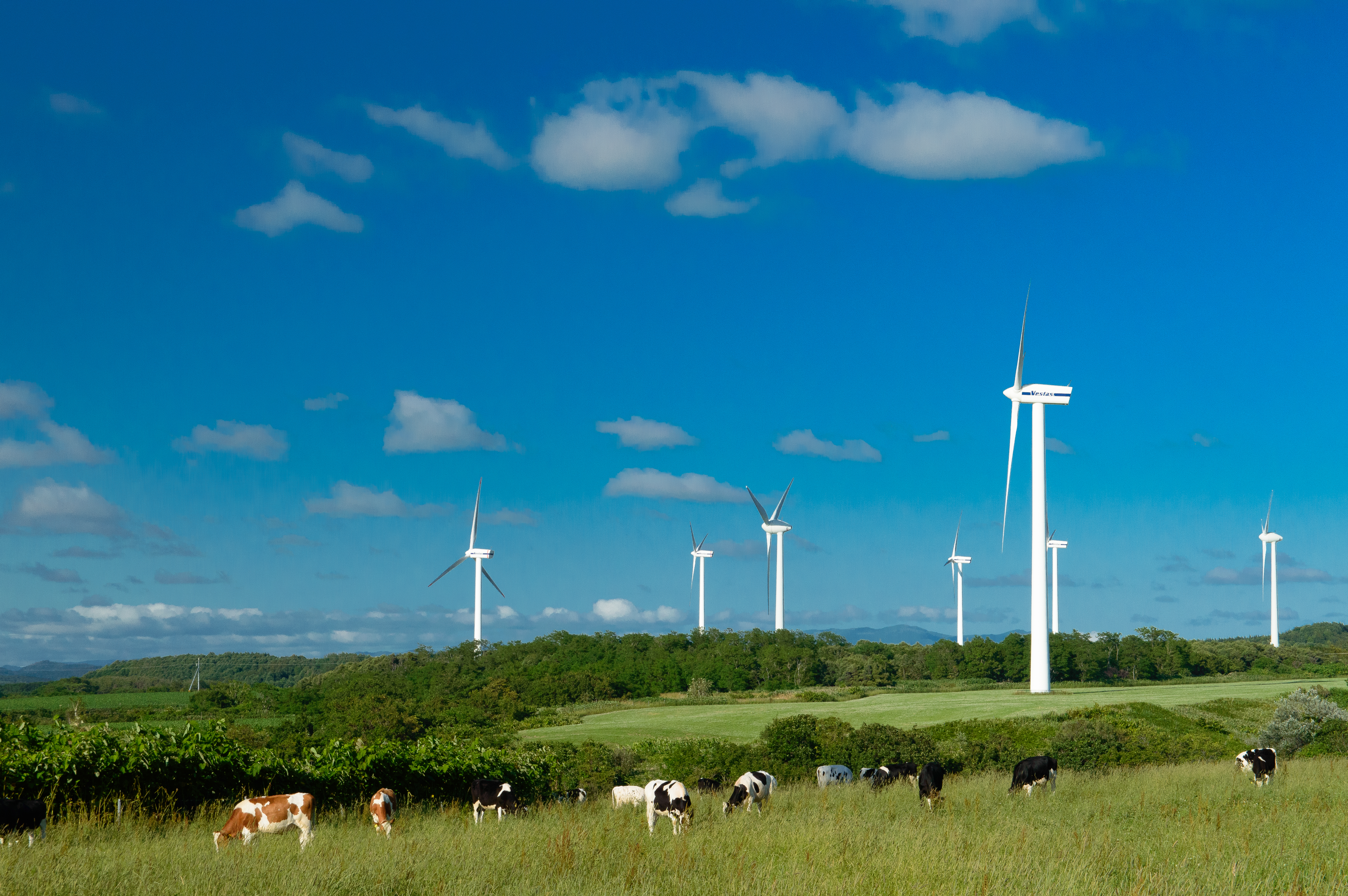
上平グリーンヒルウィンドファーム9・Kamihira Greenhill Wind Farm

上平グリーンヒルウィンドファーム10・Kamihira Greenhill Wind Farm
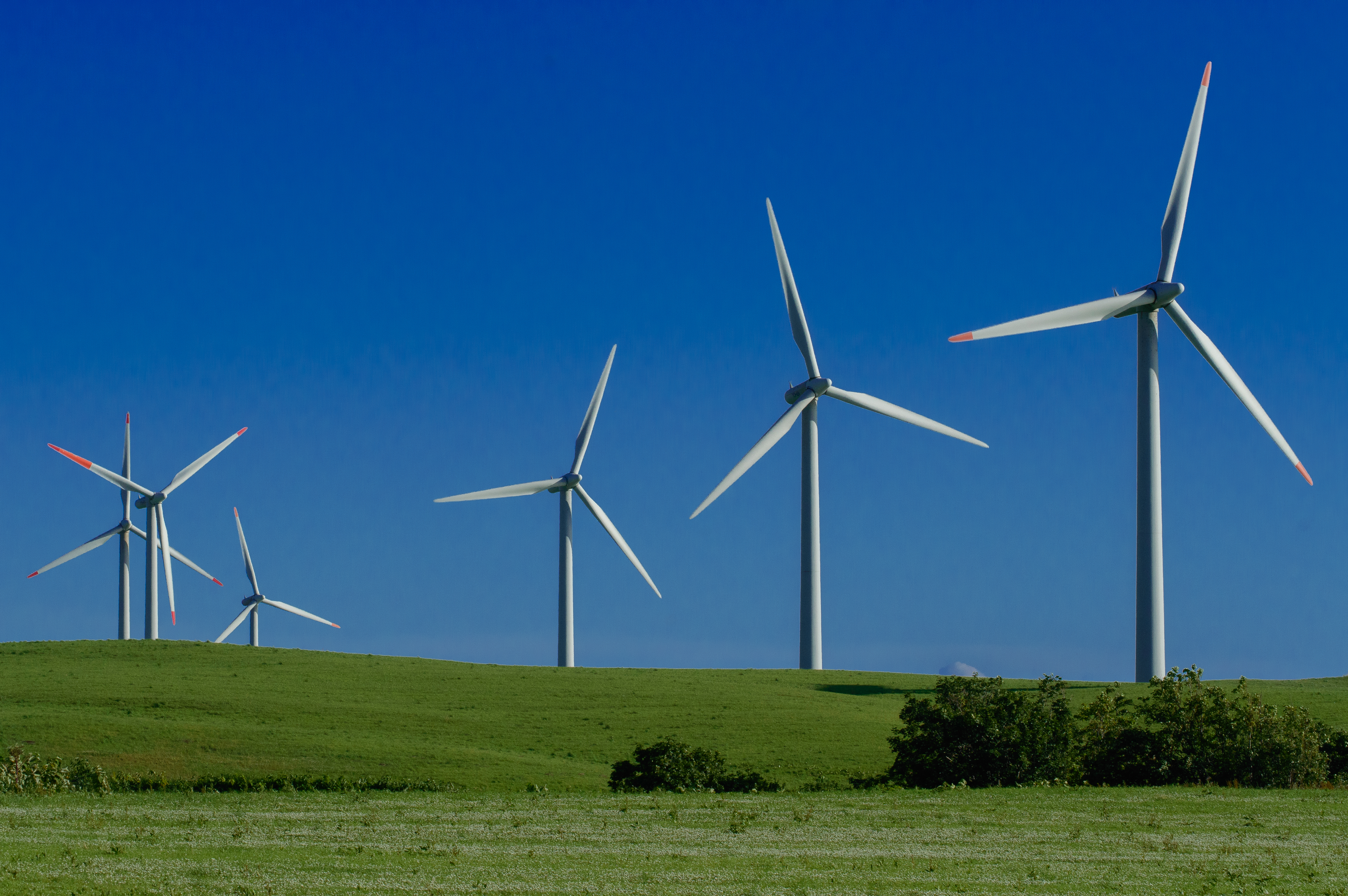
上平グリーンヒルウィンドファーム1・Kamihira Greenhill Wind Farm
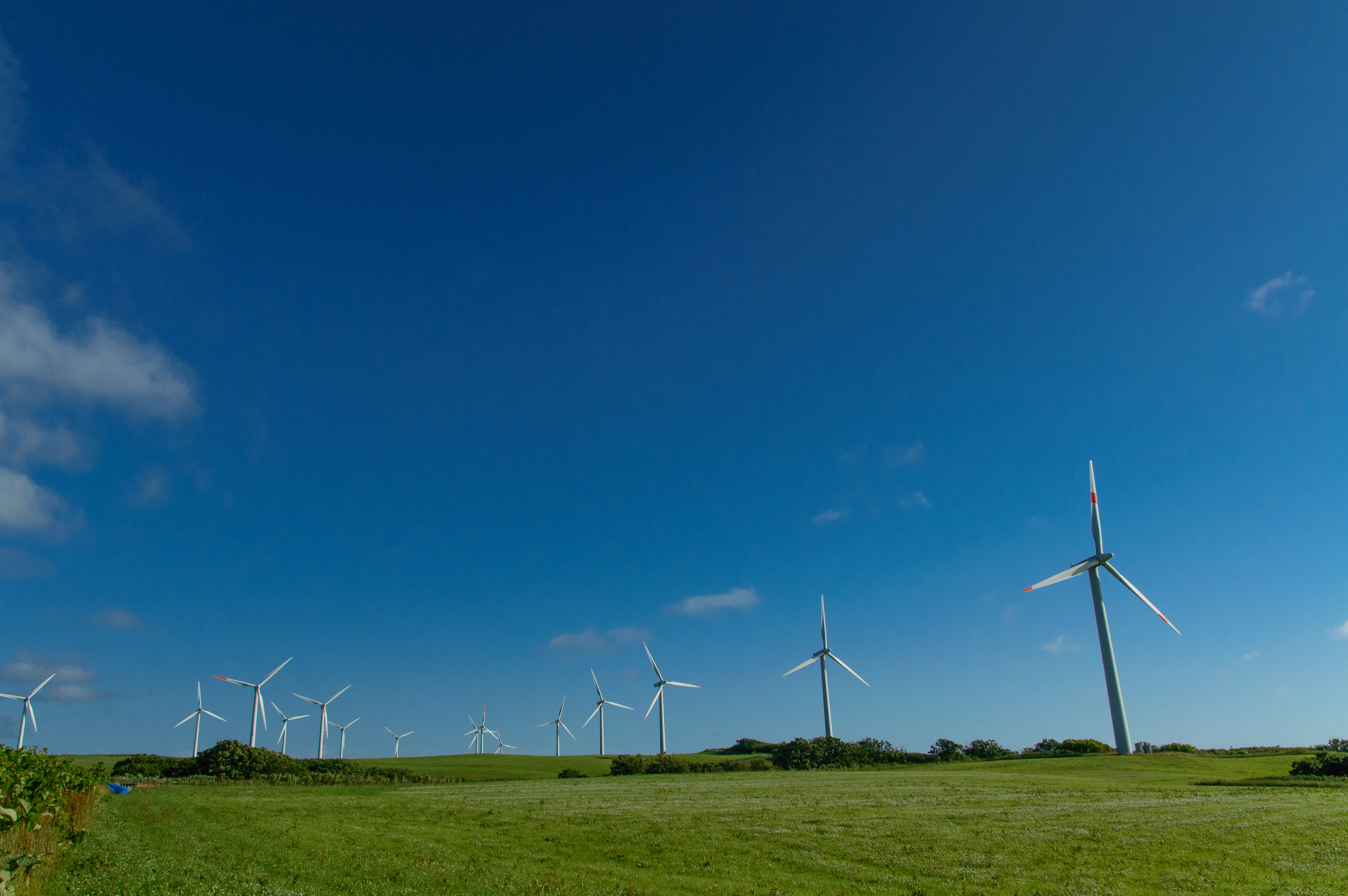
上平グリーンヒルウィンドファーム5・Kamihira Greenhill Wind Farm
Topographic Map of Kotanbetsu, Tomamae-chō, Tomamae-gun, Hokkaidō -, Japan
Find elevation by address:

Places near Kotanbetsu, Tomamae-chō, Tomamae-gun, Hokkaidō -, Japan:
Tomamae
Sakaemachi, Haboro-chō, Tomamae-gun, Hokkaidō -, Japan
Haboro
Tomamae District
Chiyoda, Shosanbetsu-mura, Tomamae-gun, Hokkaidō -, Japan
Shosanbetsu
Rumoi
1 Chome- Midorigaokachō, Rumoi-shi, Hokkaidō -, Japan
Utakoshi, Enbetsu-chō, Teshio-gun, Hokkaidō -, Japan
Enbetsu
Mashike
Shokansawa
Shokansawa, Mashike-chō, Mashike-gun, Hokkaidō -, Japan
Mashike District
70 Hekisui, Hokuryū-chō, Uryū-gun, Hokkaidō -, Japan
830 Shokansawa
Chippubetsu, Chippubetsu-chō, Uryū-gun, Hokkaidō -, Japan
33-1 Nishikawa, Hokuryū-chō, Uryū-gun, Hokkaidō -, Japan
Chippubetsu
Hokuryu
Recent Searches:
- Elevation of Corso Fratelli Cairoli, 35, Macerata MC, Italy
- Elevation of Tallevast Rd, Sarasota, FL, USA
- Elevation of 4th St E, Sonoma, CA, USA
- Elevation of Black Hollow Rd, Pennsdale, PA, USA
- Elevation of Oakland Ave, Williamsport, PA, USA
- Elevation of Pedrógão Grande, Portugal
- Elevation of Klee Dr, Martinsburg, WV, USA
- Elevation of Via Roma, Pieranica CR, Italy
- Elevation of Tavkvetili Mountain, Georgia
- Elevation of Hartfords Bluff Cir, Mt Pleasant, SC, USA