Elevation of Urlingford, Co. Kilkenny, Ireland
Location: Ireland > County Kilkenny > Urlingford >
Longitude: -7.5838666
Latitude: 52.719749
Elevation: -10000m / -32808feet
Barometric Pressure: 295KPa
Elevation Map:
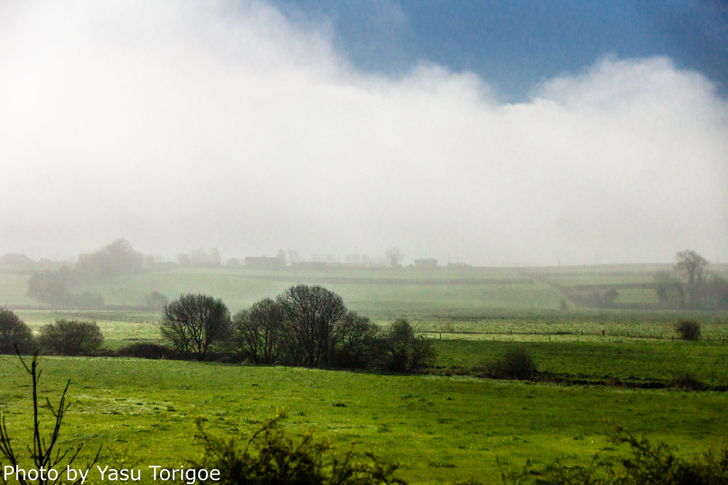
Satellite Map:
Related Photos:

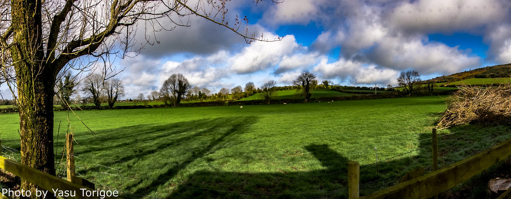
Eastern Ireland Countryside-18
Eastern Ireland Countryside-16

The Square, Rathdowney, Co. Laois, 1990

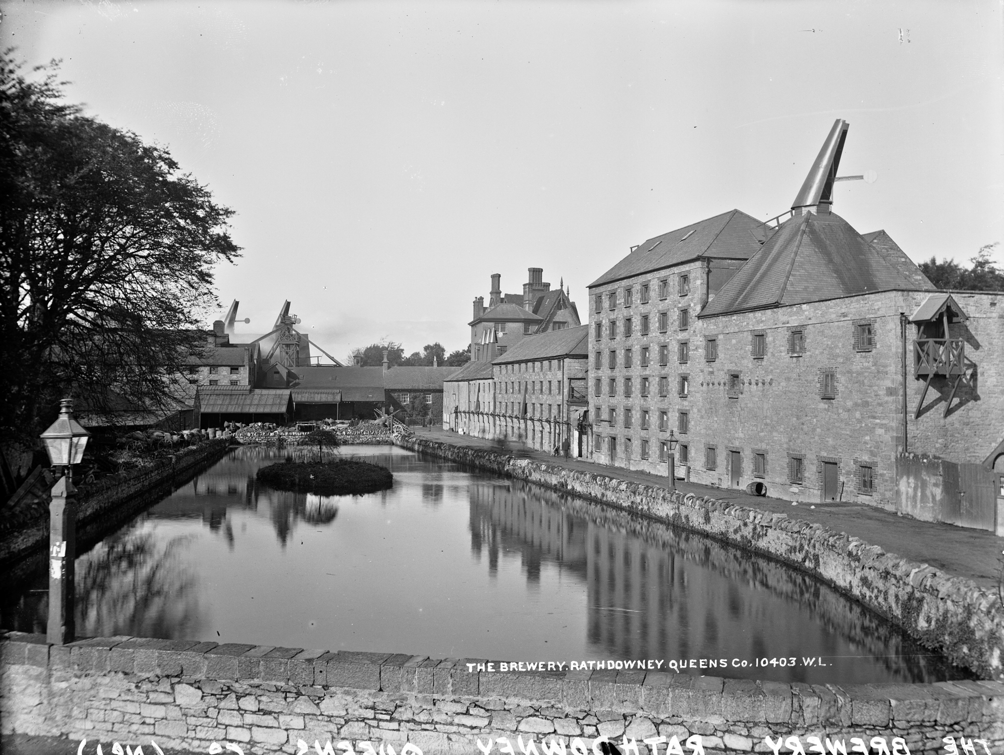
The Square, Rathdowney, Co. Laois, circa 1900
Right leaning chimneys in Rathdowney!

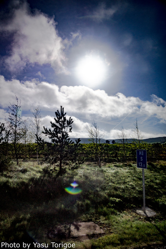
Eastern Ireland Countryside-25

Eastern Ireland Countryside-17

In search of Wickham railcar no.C56. Templetouhy. Éire. 1991.

Cullahill Tidy Towns

Thurles Town by Night 2 of 2

irish sunset
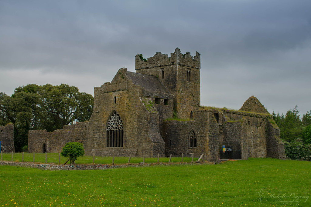
Kilcooley Abbey in Tipperary

Thurles Town by Night 1 of 2
Eastern Ireland Countryside-21

GRANGE LOOPED WALKS
Eastern Ireland Countryside-15

Eastern Ireland Countryside-23

Writing on a tomb

Thurles, Co Tipperary

Kilcooley Abbey

GRANGE LOOPED WALKS

GRANGE LOOPED WALKS

GRANGE LOOPED WALKS

GRANGE LOOPED WALKS

Cullahill Tidy Towns

GRANGE LOOPED WALKS

Sonnenuntergang in Clomantagh

Cullahill Tidy Towns
Topographic Map of Urlingford, Co. Kilkenny, Ireland
Find elevation by address:

Places near Urlingford, Co. Kilkenny, Ireland:
Urlingford
Kilcoolyabbey
Killoshulan
Knockboy
Clomantagh (mt. Garret)
E41 P797
Castletown
Garransilly
Chapel Lane
Coolnacrutta
Killoshulan
Unnamed Road
Ballylehaun
Ballincurry Cross
Gortanassy East
Lisdowney
E41 Rr84
Ballylusky
Thurles
Lower Conahy
Recent Searches:
- Elevation of Corso Fratelli Cairoli, 35, Macerata MC, Italy
- Elevation of Tallevast Rd, Sarasota, FL, USA
- Elevation of 4th St E, Sonoma, CA, USA
- Elevation of Black Hollow Rd, Pennsdale, PA, USA
- Elevation of Oakland Ave, Williamsport, PA, USA
- Elevation of Pedrógão Grande, Portugal
- Elevation of Klee Dr, Martinsburg, WV, USA
- Elevation of Via Roma, Pieranica CR, Italy
- Elevation of Tavkvetili Mountain, Georgia
- Elevation of Hartfords Bluff Cir, Mt Pleasant, SC, USA