Elevation of Ballylusky, Co. Tipperary, Ireland
Location: Ireland > Tipperary >
Longitude: -7.6259718
Latitude: 52.5377675
Elevation: 174m / 571feet
Barometric Pressure: 99KPa
Elevation Map:
Satellite Map:
Related Photos:

Killusty Cross (10mm)

fisheye landscape view

Abandoned Signal Cabin, Horse & Jockey, Co Tipperary, Ireland

Time for a Mars Bar Fix

DSCF5722 - Elke Wilson
Killusty Cross

Town Wall
The Abbey Mill Theatre

DSCF5552 - Medieval Cleric

Fethard Wall Panorama

Tableau from Holy Trinity Church

View from Dualla House
View from Dualla House

DSCF2850-53

DSCF2772-74

Even the cloudy days are gorgeous

Viewing a One-Star App
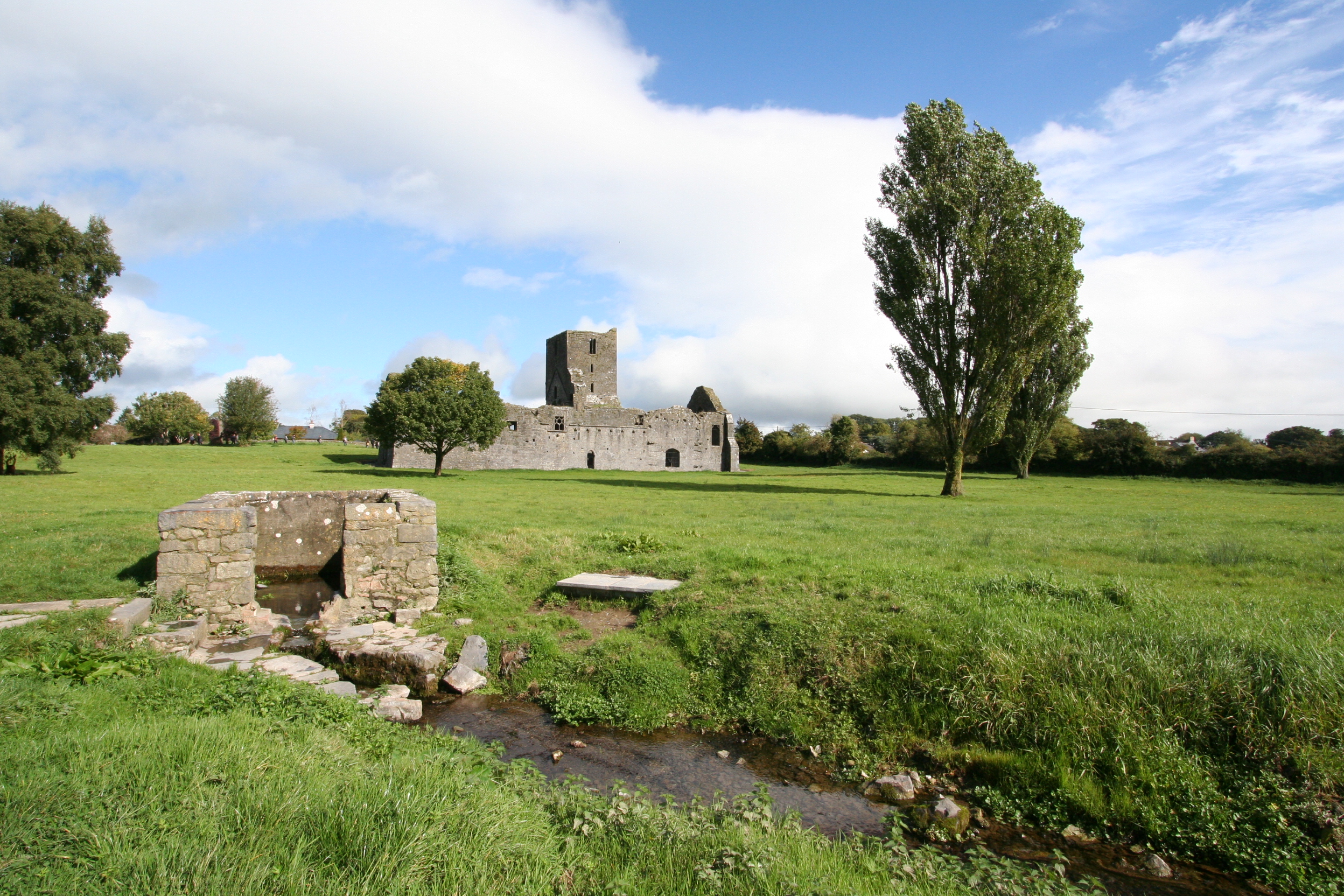
Kilcooley Abbey in Tipperary

Derrynaflan Church, Co Tipperary

New Birmingham. Co. Tipperary. Ireland.

The medieval walls of Fethard, Co Tipperary
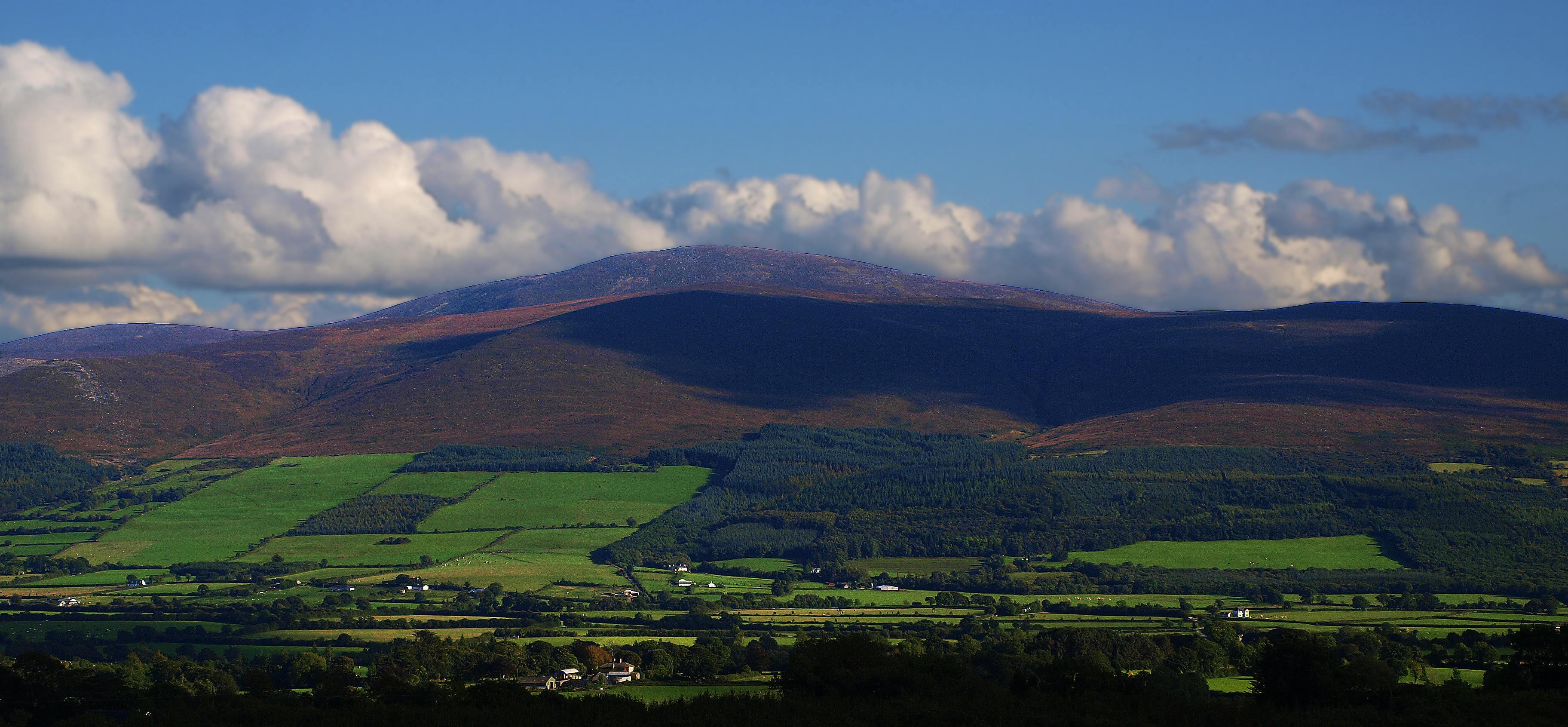
Slievenamon from Bennets Hill. Fethard. Co Tipperary.

edmund rice house callan

DSCF3182-85

DSCF3090-93

4 November 2018

Kilcooley Abbey
Callan 2011 183

Fethard town wall
deserted abbey,Callan
Ready For A New Season

GRANGE LOOPED WALKS

GRANGE LOOPED WALKS

GRANGE LOOPED WALKS
Topographic Map of Ballylusky, Co. Tipperary, Ireland
Find elevation by address:

Places in Ballylusky, Co. Tipperary, Ireland:
Places near Ballylusky, Co. Tipperary, Ireland:
E41 Rr84
Ballincurry Cross
Gortanassy East
Friarsfield
Fethard
Fethard
E41 P797
Knockboy
Kilcoolyabbey
Garransilly
Kilsheelan
Urlingford
Urlingford
Castletown
Clonmel
Constitution Apartments
Oldbridge
Thurles
Clomantagh (mt. Garret)
Killoshulan
Recent Searches:
- Elevation of Corso Fratelli Cairoli, 35, Macerata MC, Italy
- Elevation of Tallevast Rd, Sarasota, FL, USA
- Elevation of 4th St E, Sonoma, CA, USA
- Elevation of Black Hollow Rd, Pennsdale, PA, USA
- Elevation of Oakland Ave, Williamsport, PA, USA
- Elevation of Pedrógão Grande, Portugal
- Elevation of Klee Dr, Martinsburg, WV, USA
- Elevation of Via Roma, Pieranica CR, Italy
- Elevation of Tavkvetili Mountain, Georgia
- Elevation of Hartfords Bluff Cir, Mt Pleasant, SC, USA