Elevation of Unnamed Road, Van Horn, TX, USA
Location: United States > Texas > Hudspeth County >
Longitude: -105.00026
Latitude: 30.7398337
Elevation: 1212m / 3976feet
Barometric Pressure: 88KPa
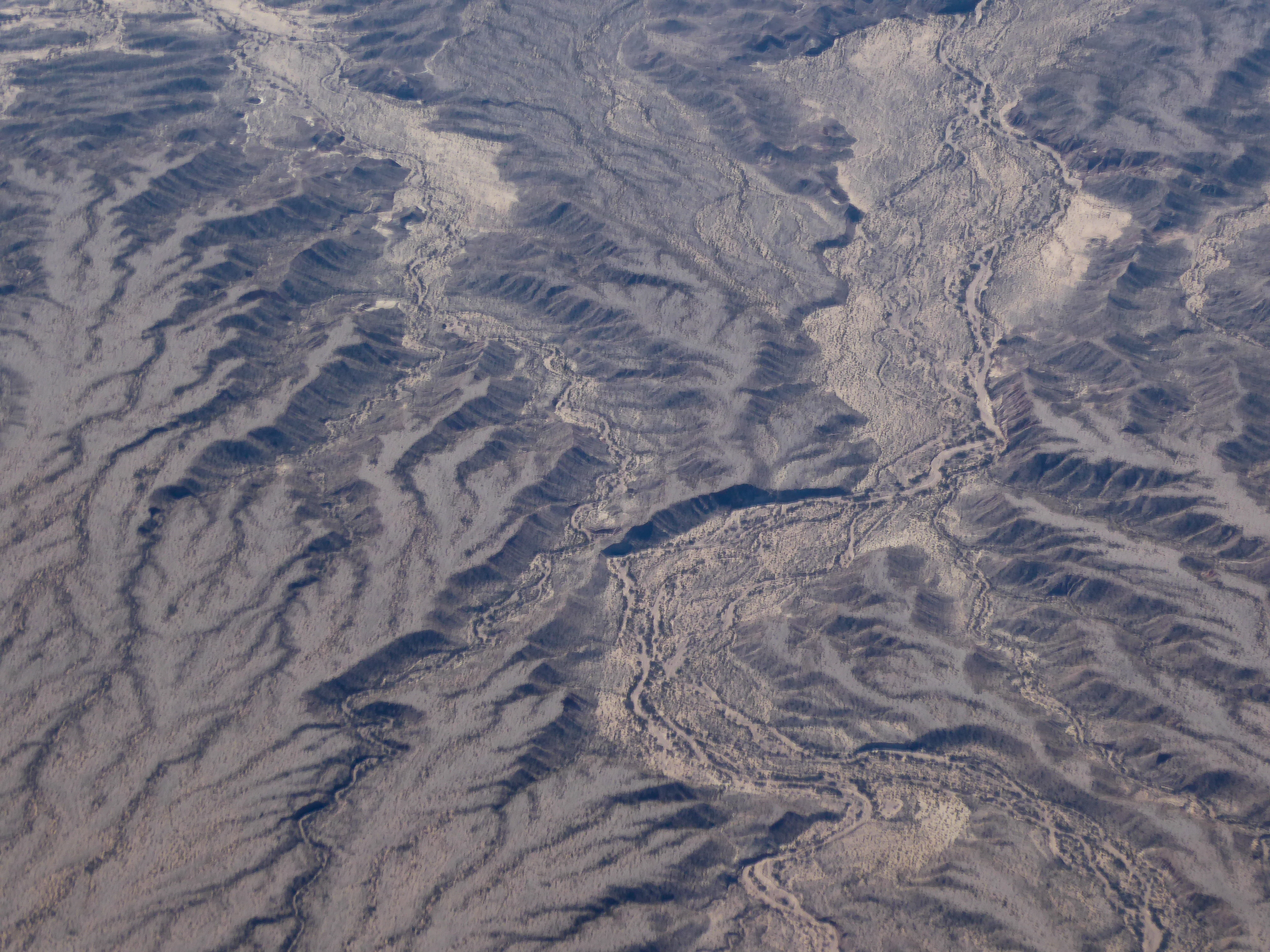
Elevation Map:
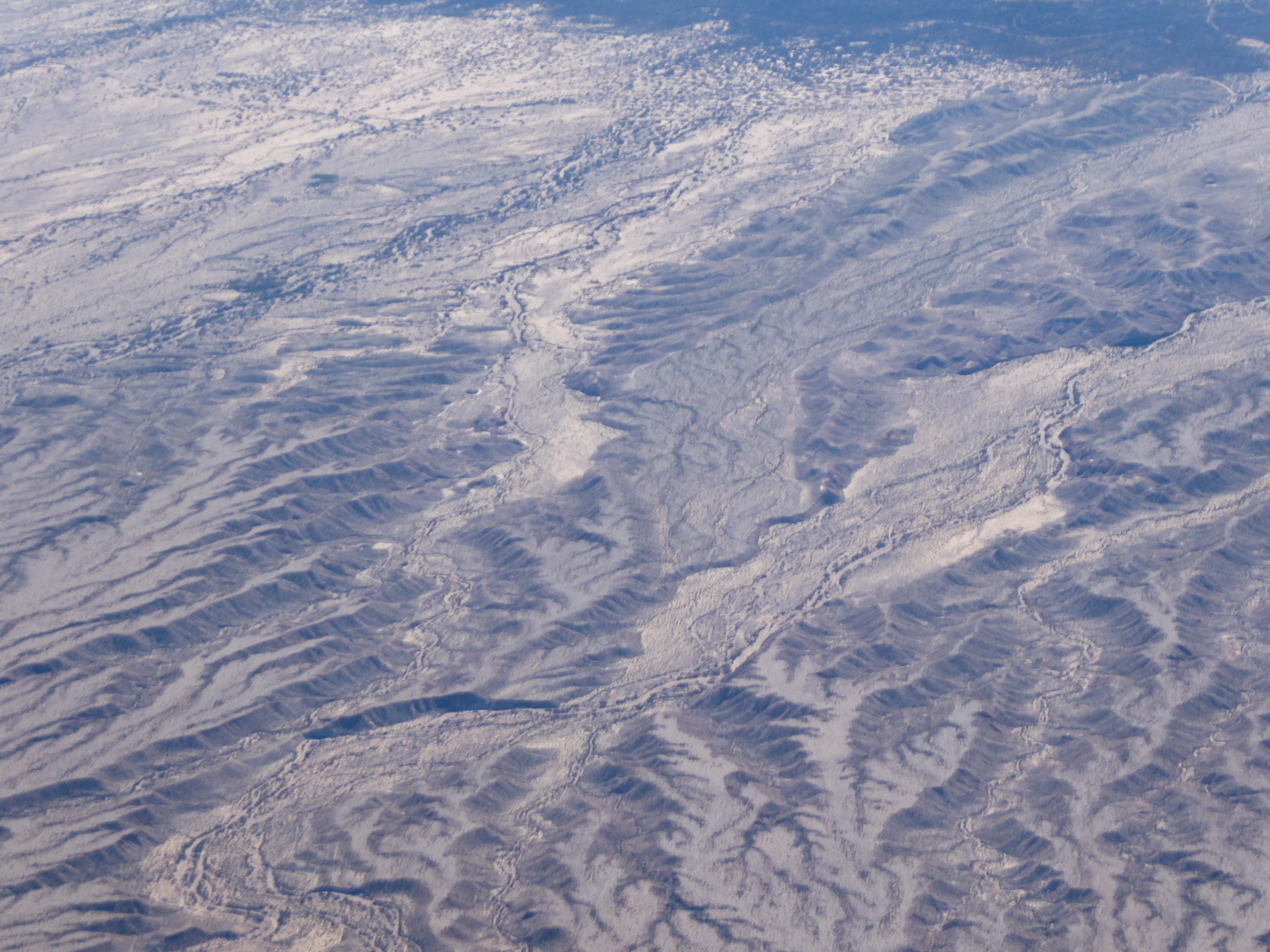
Satellite Map:
Related Photos:
P1020571
P1020567
Topographic Map of Unnamed Road, Van Horn, TX, USA
Find elevation by address:

Places near Unnamed Road, Van Horn, TX, USA:
Lobo
Valentine
Jeff Davis County
209 Limpia Canyon Trail
301 Colleen Canyon Trail
203 Cochise Canyon Trail
Cross Trail
Tejano Canyon Drive
Davis Mountains
413 Squaw Valley Trail
High Lonesome Trail
426 Squaw Valley Trail
510 Squaw Valley Trail
510 Squaw Valley Trail
Shafter
Cibolo Creek Road
Presidio County
Blvrd Oscar Flores, Constitución, Ojinaga, Chih., Mexico
Constitución
Ojinaga Municipality
Recent Searches:
- Elevation of Corso Fratelli Cairoli, 35, Macerata MC, Italy
- Elevation of Tallevast Rd, Sarasota, FL, USA
- Elevation of 4th St E, Sonoma, CA, USA
- Elevation of Black Hollow Rd, Pennsdale, PA, USA
- Elevation of Oakland Ave, Williamsport, PA, USA
- Elevation of Pedrógão Grande, Portugal
- Elevation of Klee Dr, Martinsburg, WV, USA
- Elevation of Via Roma, Pieranica CR, Italy
- Elevation of Tavkvetili Mountain, Georgia
- Elevation of Hartfords Bluff Cir, Mt Pleasant, SC, USA