Elevation of Cibolo Creek Road, Cibolo Creek Rd, Texas, USA
Location: United States > Texas > Presidio County > Shafter >
Longitude: -104.30557
Latitude: 29.8159435
Elevation: 1165m / 3822feet
Barometric Pressure: 88KPa
Elevation Map:
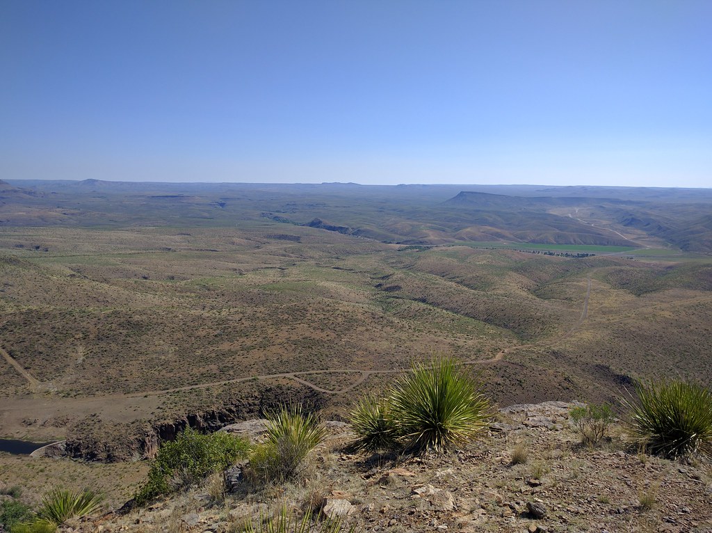
Satellite Map:
Related Photos:

And Confirmation Came from On High.

wall, ladder, shadow & sky

Cibolo Creek Ranch

Cibolo Creek Ranch

Cibolo Creek Ranch

Cibolo Creek Ranch

21004-110325-FortDavis

Cibolo Creek Ranch

Cibolo Creek in Shafter, Yep, This is Still West Texas

Cibolo Creek Ranch

Cibolo Creek Ranch

Cibolo Creek Ranch

Cibolo Creek Ranch
Cibolo Creek Ranch

Elephant Rock

HIP_315527748.739000

Historical Marker

Samantha in Desert

Into the Valley

Elephant Rock

HWY 67

21020-110325-FortDavis
Topographic Map of Cibolo Creek Road, Cibolo Creek Rd, Texas, USA
Find elevation by address:

Places near Cibolo Creek Road, Cibolo Creek Rd, Texas, USA:
Shafter
Presidio County
517 Cassell St
Presidio
Blvrd Oscar Flores, Constitución, Ojinaga, Chih., Mexico
Constitución
Ojinaga
Ojinaga Municipality
Valentine
Cross Trail
301 Colleen Canyon Trail
High Lonesome Trail
413 Squaw Valley Trail
426 Squaw Valley Trail
510 Squaw Valley Trail
510 Squaw Valley Trail
203 Cochise Canyon Trail
209 Limpia Canyon Trail
Tejano Canyon Drive
Jeff Davis County
Recent Searches:
- Elevation of Corso Fratelli Cairoli, 35, Macerata MC, Italy
- Elevation of Tallevast Rd, Sarasota, FL, USA
- Elevation of 4th St E, Sonoma, CA, USA
- Elevation of Black Hollow Rd, Pennsdale, PA, USA
- Elevation of Oakland Ave, Williamsport, PA, USA
- Elevation of Pedrógão Grande, Portugal
- Elevation of Klee Dr, Martinsburg, WV, USA
- Elevation of Via Roma, Pieranica CR, Italy
- Elevation of Tavkvetili Mountain, Georgia
- Elevation of Hartfords Bluff Cir, Mt Pleasant, SC, USA