Elevation of Shafter, TX, USA

Location: United States > Texas > Presidio County >

Longitude: -104.30325

Latitude: 29.8201733

Elevation: 1189m / 3901feet

Barometric Pressure: 88KPa

Elevation Map:

elevation map of Shafter, TX, USA

Satellite Map:

Satellite map of Shafter, TX, USA

Related Photos:

blackandwhite sun church monochrome lensflare ghosttown shafter highway67 middleofnofrickinwhere twentyminutesnorthoftheborder
And Confirmation Came from On High.
blue shadow sky cloud yellow wall lomo lca xpro lomography crossprocessed xprocess texas fort lomolca minimal ladder lomograph cloudsky cibolocreekranch cibolocreek phootcamp lomographyxprochrome100 posted:to=tumblr phootcamp2011 roll:name=110610lomolcalomo100b file:name=110610lomolcalomo100b12
wall, ladder, shadow & sky
cibolocreekranch texas westtexas presidiocounty
Cibolo Creek Ranch
cibolocreekranch cibolocreek texas westtexas
Cibolo Creek Ranch
hipstamatic tejas rasputin triplecrown
Cibolo Creek Ranch
cibolocreekranch texas westtexas presidiocounty
Cibolo Creek Ranch
usa mountain field clouds geotagged texas unitedstates marfa geo:lat=2988214167 geo:lon=10427619333
21004-110325-FortDavis
nexus5x cibolacreekranch
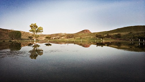
Cibolo Creek Ranch
creek texas cibolo shafter
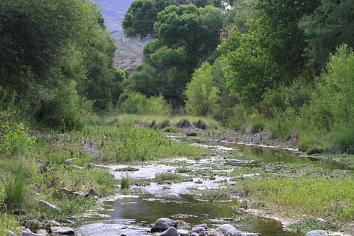
Cibolo Creek in Shafter, Yep, This is Still West Texas
cibolocreekranch cibolocreek texas westtexas
Cibolo Creek Ranch
nexus5x cibolacreekranch
Cibolo Creek Ranch
nexus5x cibolacreekranch
Cibolo Creek Ranch
nexus5x cibolacreekranch
Cibolo Creek Ranch
nexus5x cibolacreekranch
Cibolo Creek Ranch
west color clouds skyscape landscape texas roadside rebelxt westtexas canonrebelxt presidio marfa elephantrock hwy67 canon350 highway67 presidiotomarfa
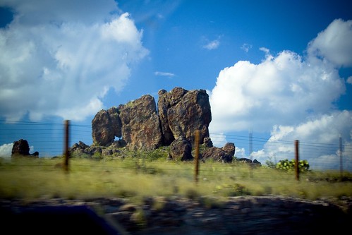
Elephant Rock
offflash johnslens hipstamatic pistilfilm
HIP_315527748.739000
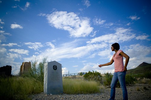
west color church clouds skyscape landscape texas desert ghosttown rebelxt westtexas samantha canonrebelxt shafter canon350 samanthadavis shaftertx
Historical Marker
color clouds skyscape landscape texas desert ghosttown rebelxt westtexas samantha canonrebelxt shafter canon350 samanthadavis shaftertx
Samantha in Desert
mountains west color clouds skyscape landscape texas rebelxt westtexas canonrebelxt hwy67 canon350 highway67
Into the Valley
Elephant Rock
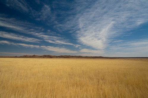
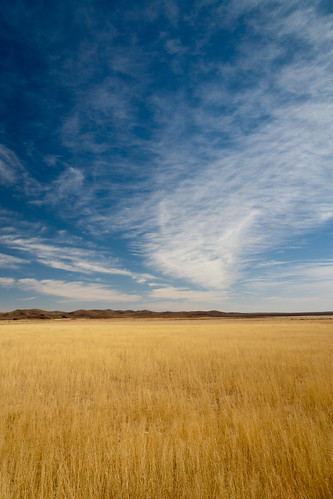
sky west color clouds skyscape landscape highway texas desert country bigsky rebelxt westtexas canonrebelxt presidio desertlandscape hwy67 texasclouds canon350 highway67 presediotexas presediotx
HWY 67
usa mountain field clouds geotagged texas unitedstates marfa geo:lat=2988214167 geo:lon=10427619000
21020-110325-FortDavis