Elevation of Unnamed Road, Assam, India
Location: India >
Longitude: 90.4342637
Latitude: 26.8885103
Elevation: 322m / 1056feet
Barometric Pressure: 98KPa
Elevation Map:
Satellite Map:
Related Photos:
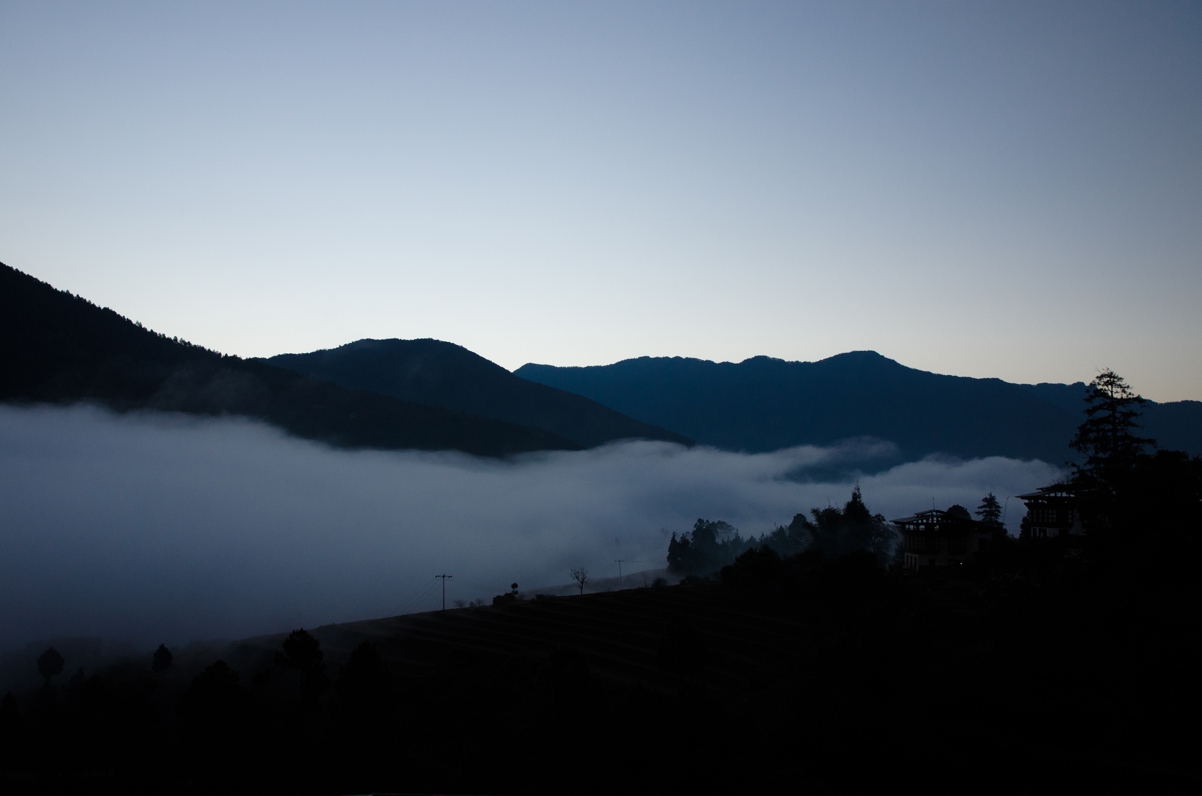
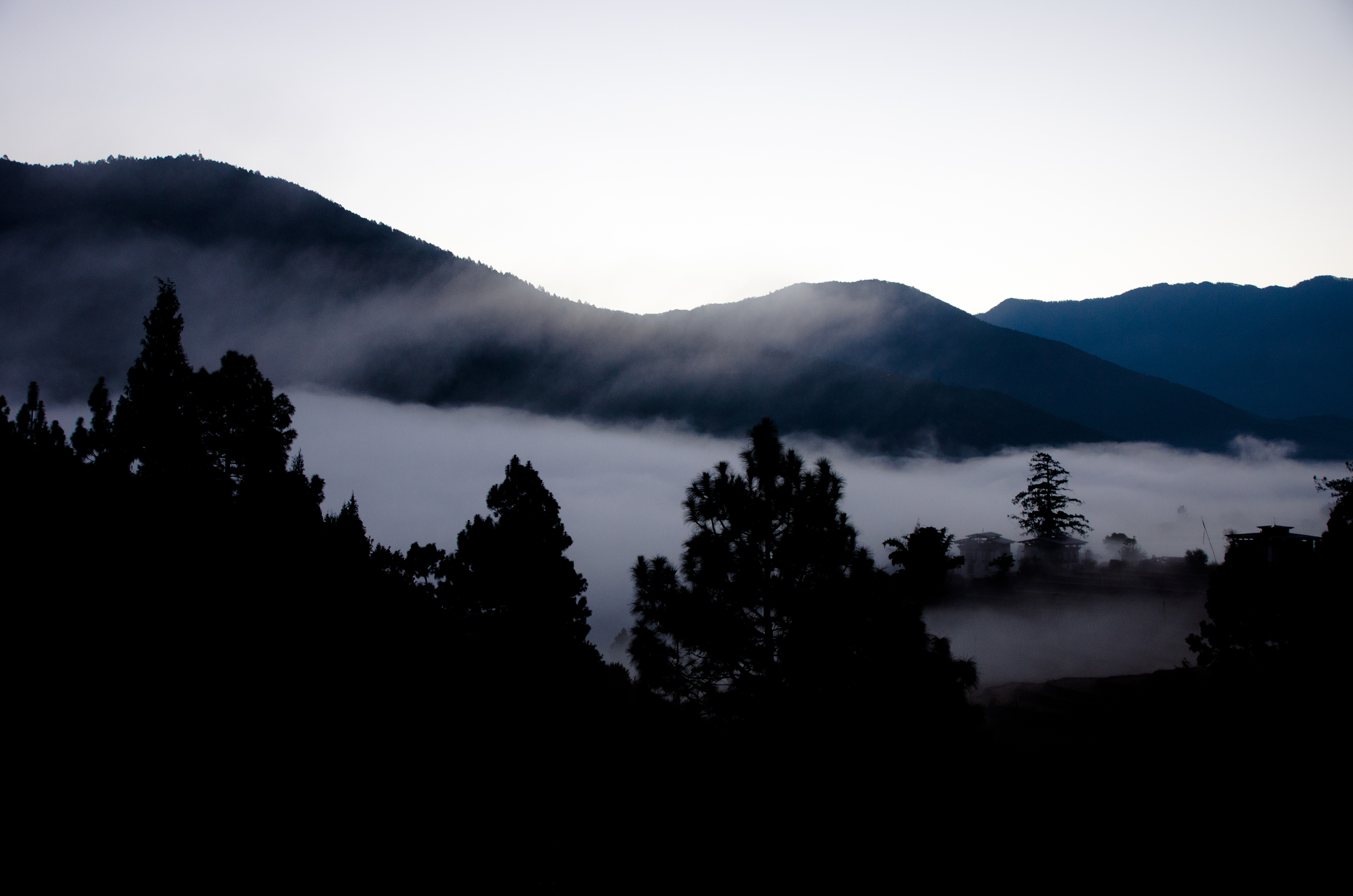
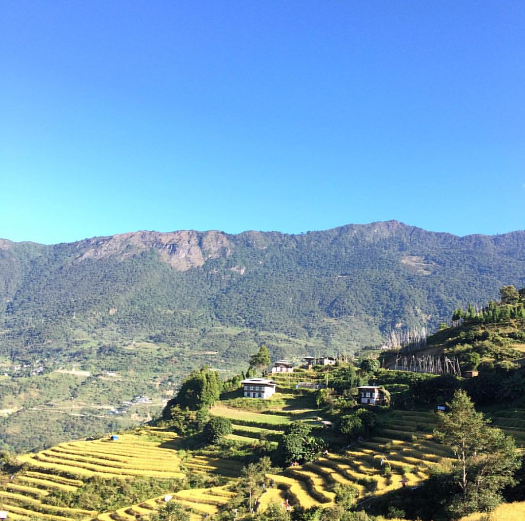
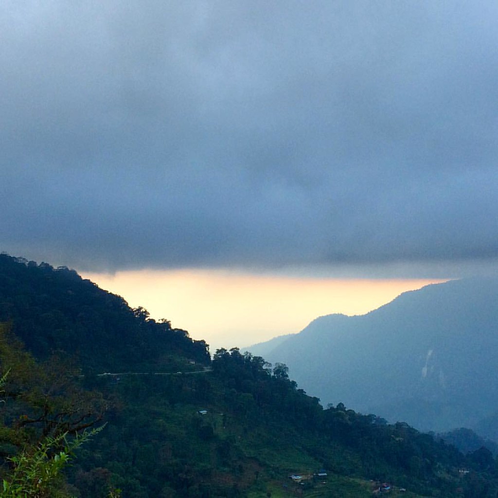
Punakha, Bhutan

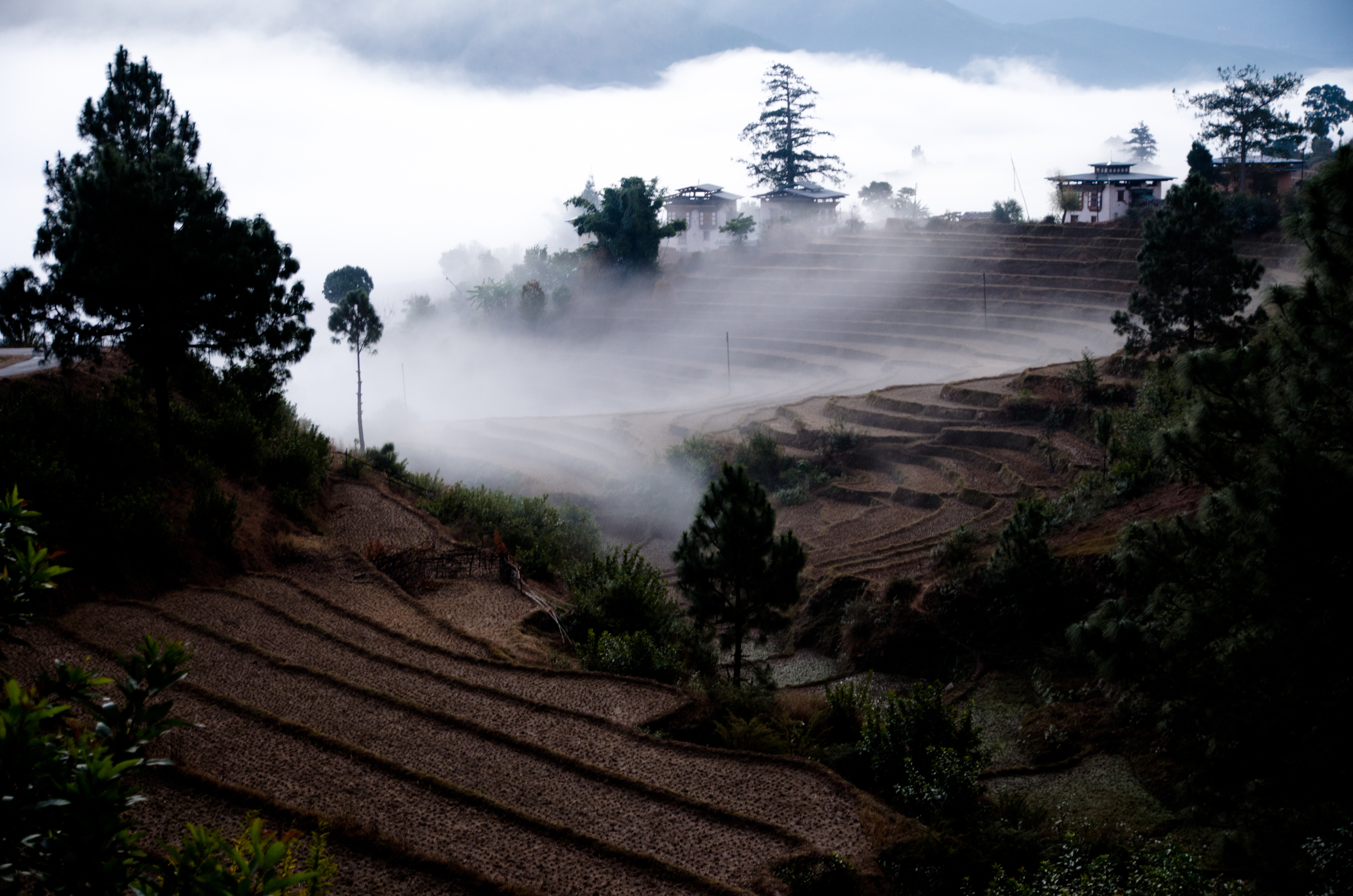
Punakha, Bhutan
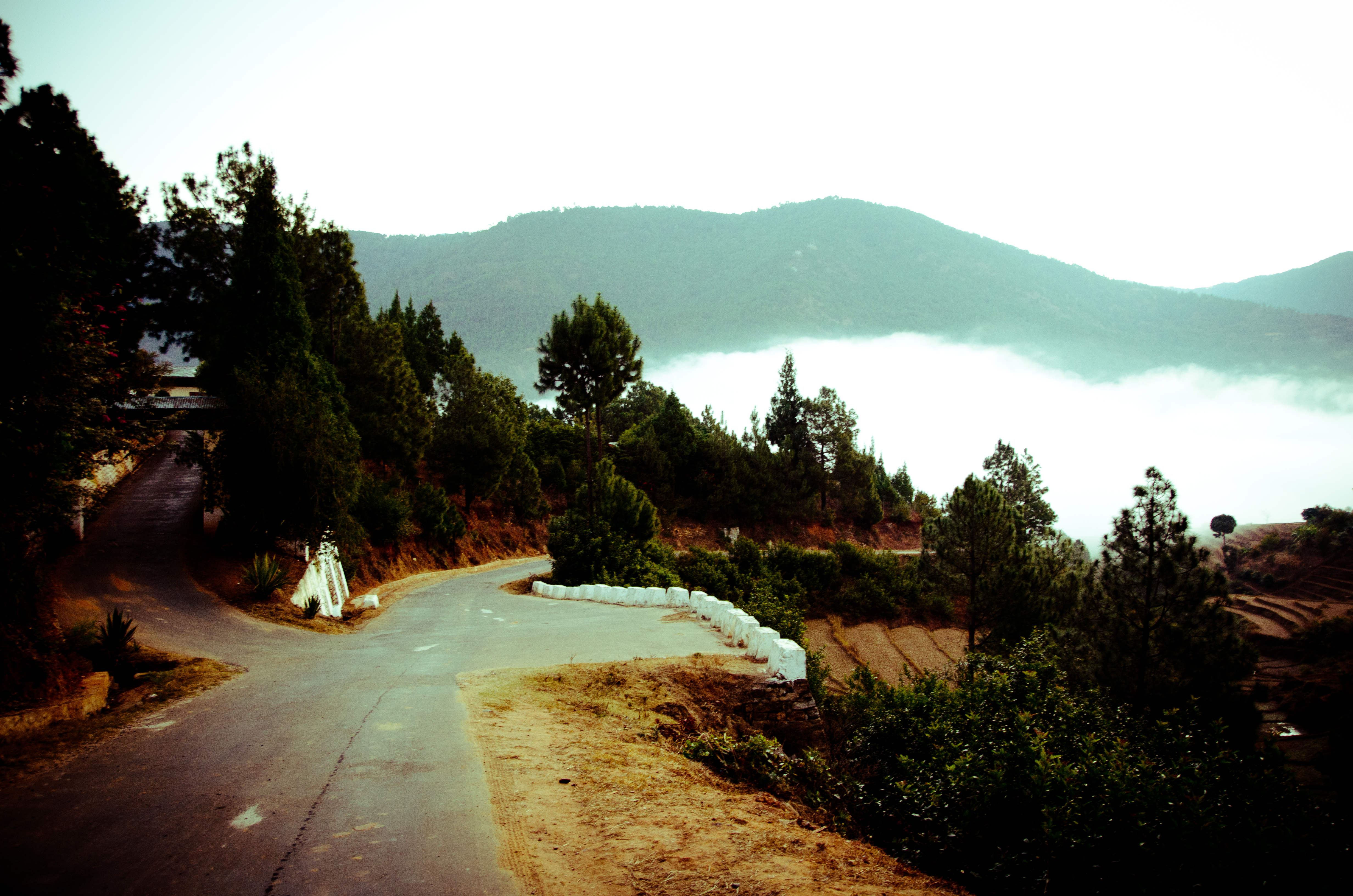
Punakha, Bhutan

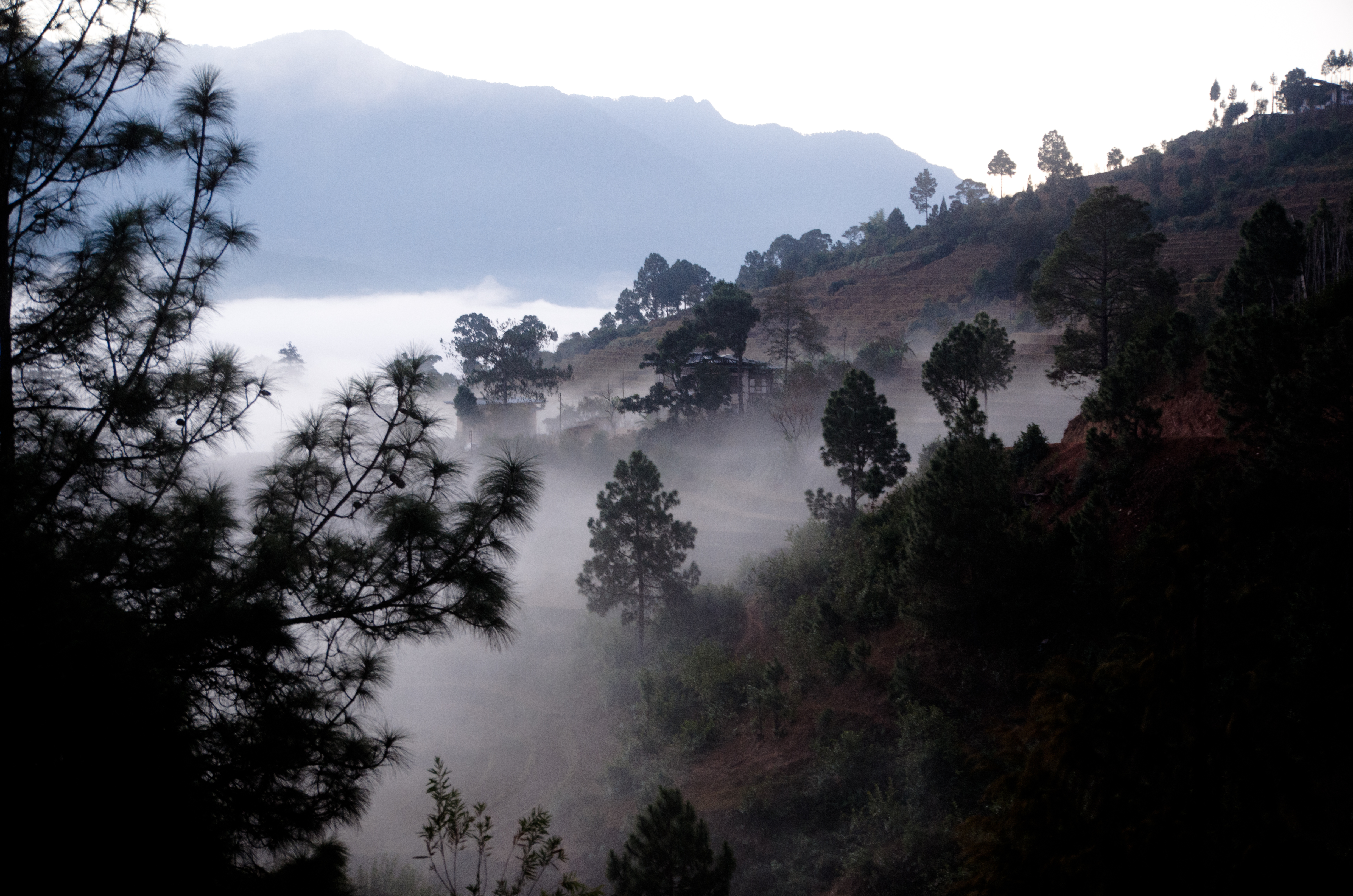
Punakha, Bhutan
Punakha, Bhutan

Punakha, Bhutan

Punakha, Bhutan
Punakha, Bhutan
Punakha, Bhutan
Bhutan #landscape. #TourOfBhutan #TOB2015 #bikeride #roadtrip #greenery
Love triangle! #TourOfBhutan #Bhutan #travel #landscape #nature #sky #royalmavericks
Topographic Map of Unnamed Road, Assam, India
Find elevation by address:

Places near Unnamed Road, Assam, India:
Sarpang
Sarpang
Tsirang
Damphu
Zhemgang
Trongsa
Trongsa
Trongsa Town
Bhutan
Gangtey Monastery
Gangtey Lodge Bhutan
Wangdue Phodrang
Nubding
Nobding Lower Secondary School
Mountain Lodge
Jakar
Tormoshangsa
Pemagatshel
Mongar
Durgapur
Recent Searches:
- Elevation of Corso Fratelli Cairoli, 35, Macerata MC, Italy
- Elevation of Tallevast Rd, Sarasota, FL, USA
- Elevation of 4th St E, Sonoma, CA, USA
- Elevation of Black Hollow Rd, Pennsdale, PA, USA
- Elevation of Oakland Ave, Williamsport, PA, USA
- Elevation of Pedrógão Grande, Portugal
- Elevation of Klee Dr, Martinsburg, WV, USA
- Elevation of Via Roma, Pieranica CR, Italy
- Elevation of Tavkvetili Mountain, Georgia
- Elevation of Hartfords Bluff Cir, Mt Pleasant, SC, USA