Elevation of Trongsa, Bhutan
Location: Bhutan >
Longitude: 90.5257823
Latitude: 27.2666292
Elevation: 2194m / 7198feet
Barometric Pressure: 78KPa
Elevation Map:
Satellite Map:
Related Photos:
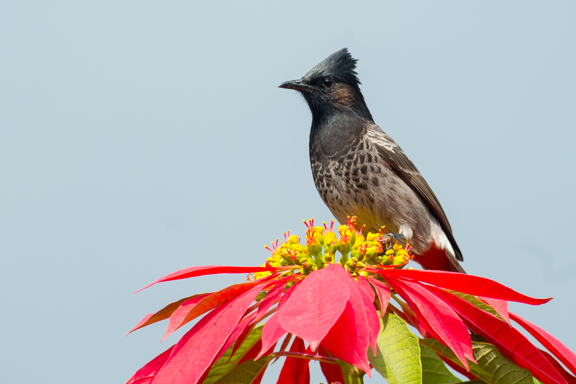
Pycnonotus cafer

Whirling Monks V

Whirling Monks I

Whirling Monks III
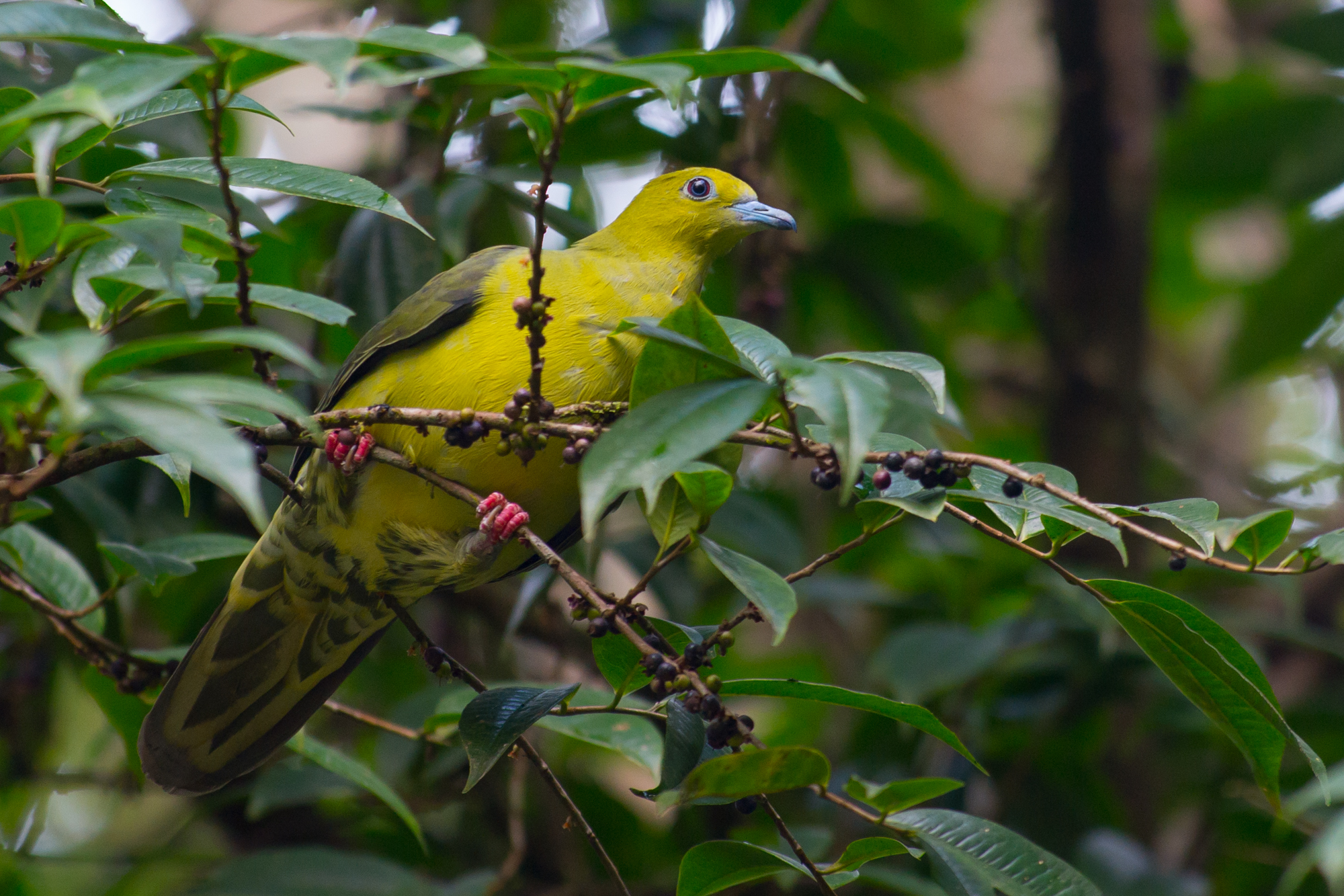
Treron sphenurus

Sitta himalayensis
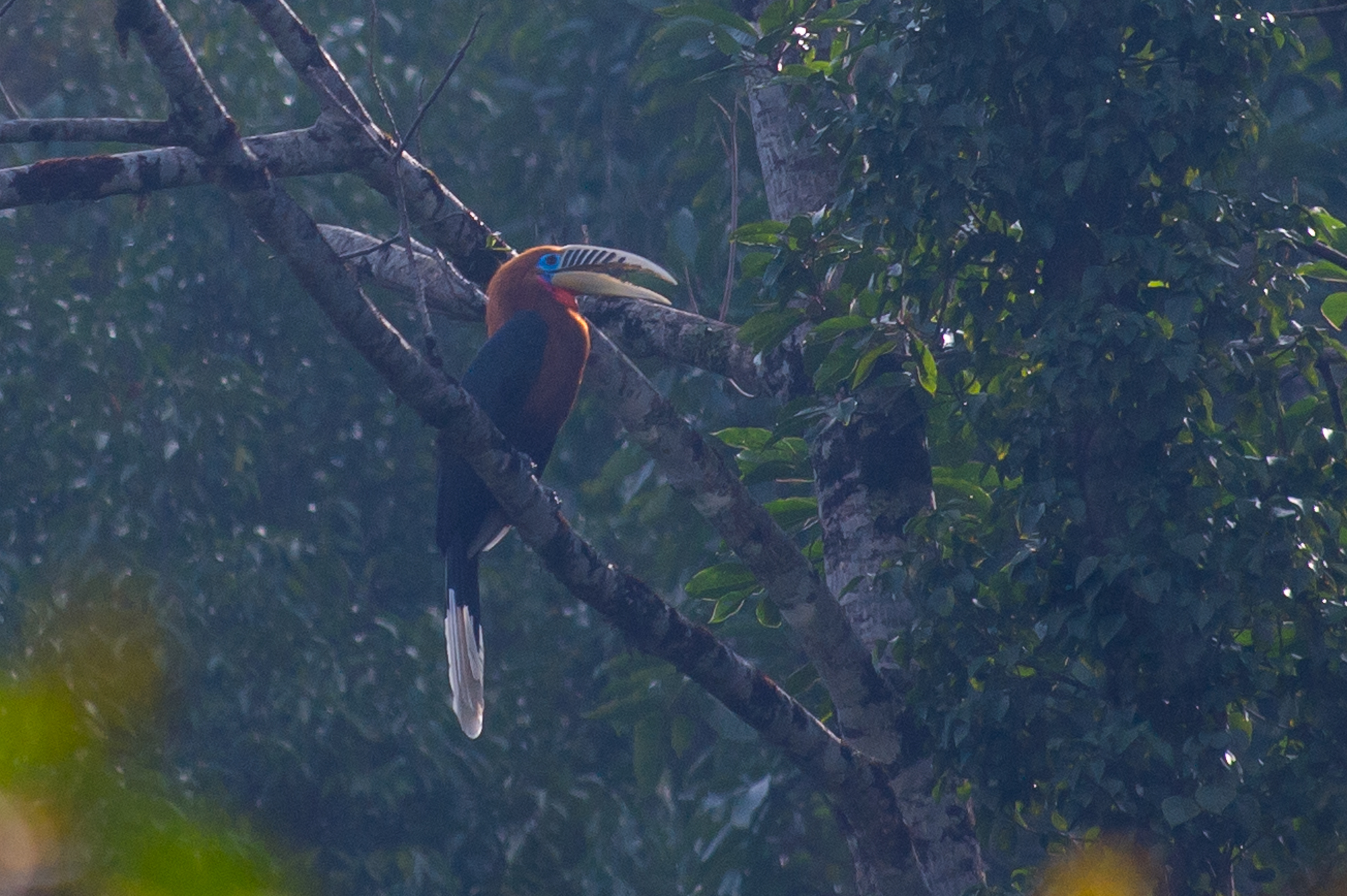
Aceros nipalensis
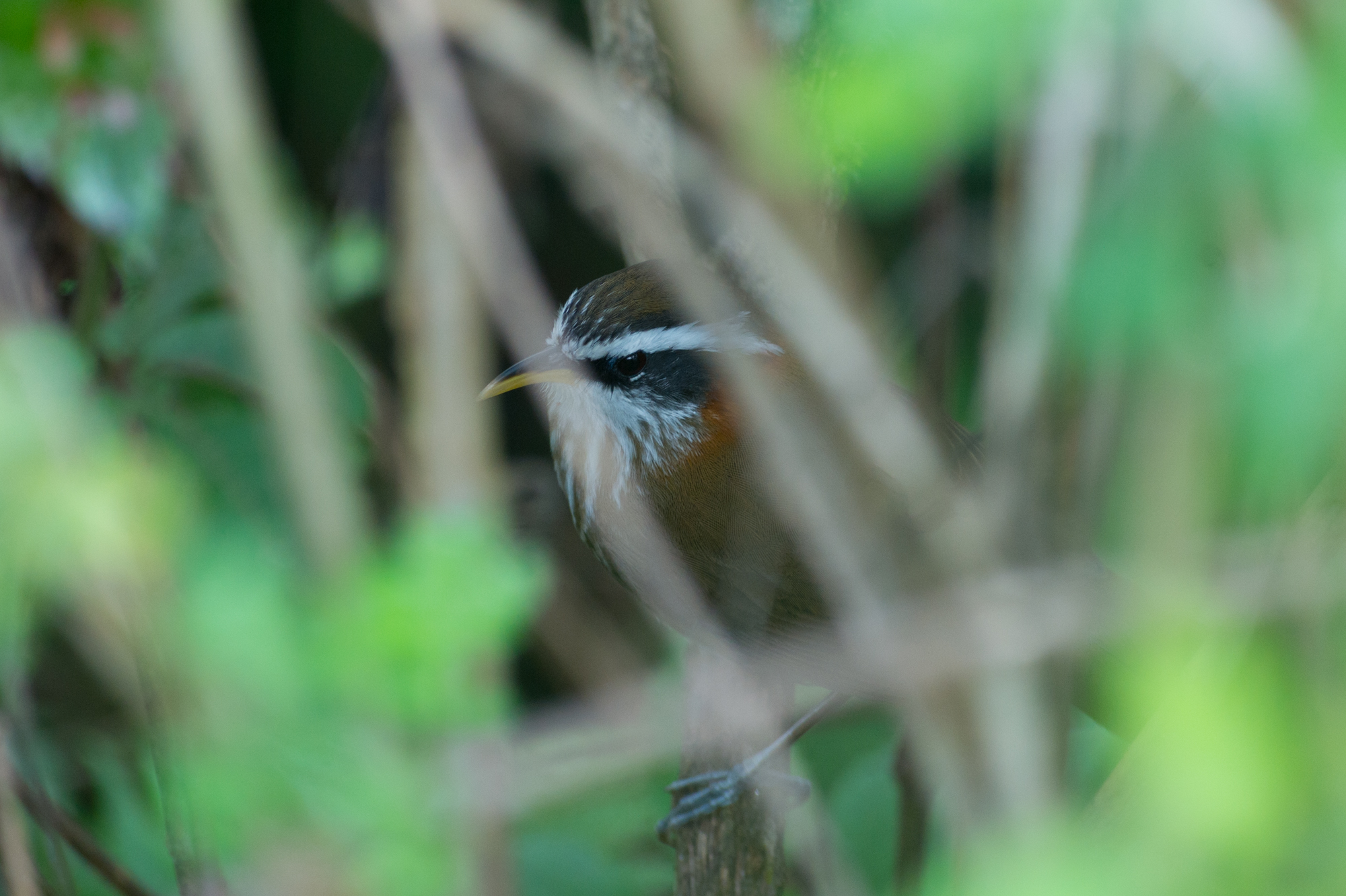
Pomatorhinus ruficollis
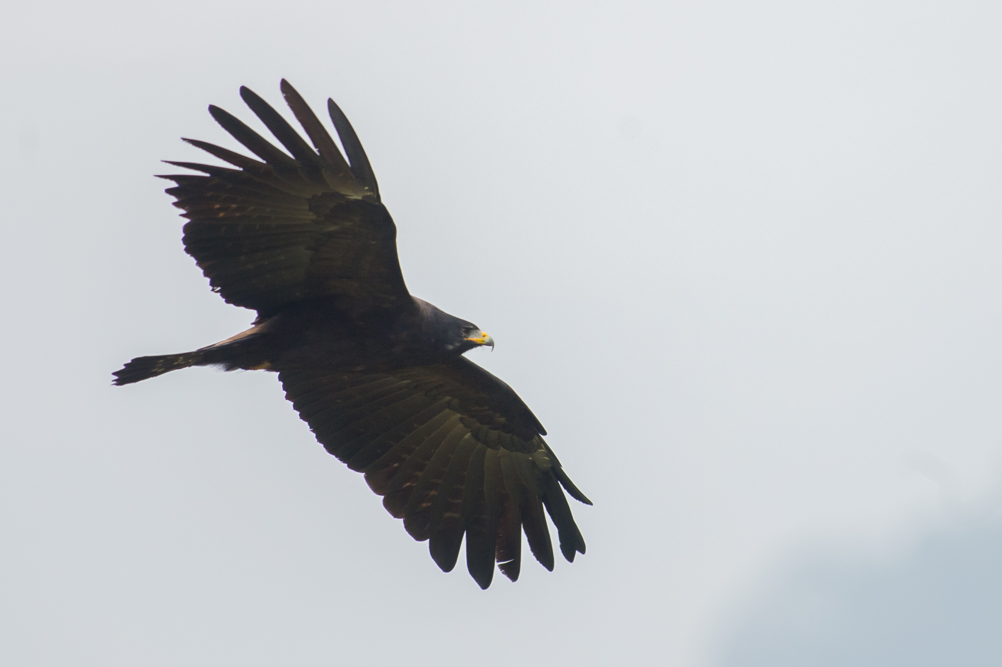
Ictinaetus malayensis

Lanius cristatus
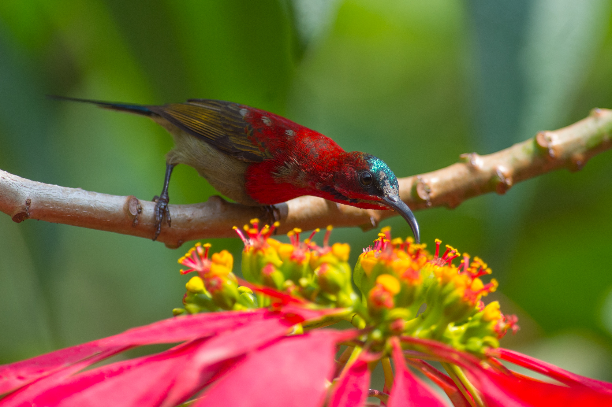
Aethopyga siparaja
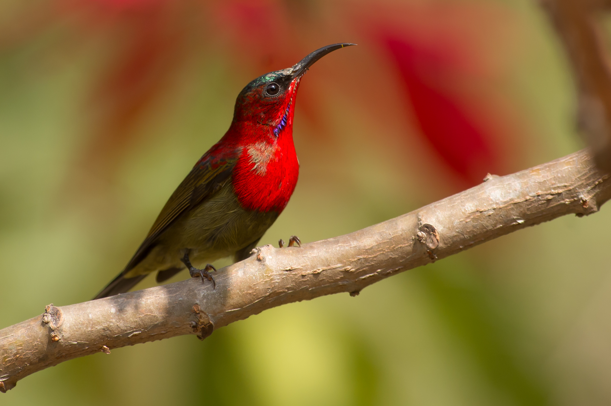
Aethopyga siparaja
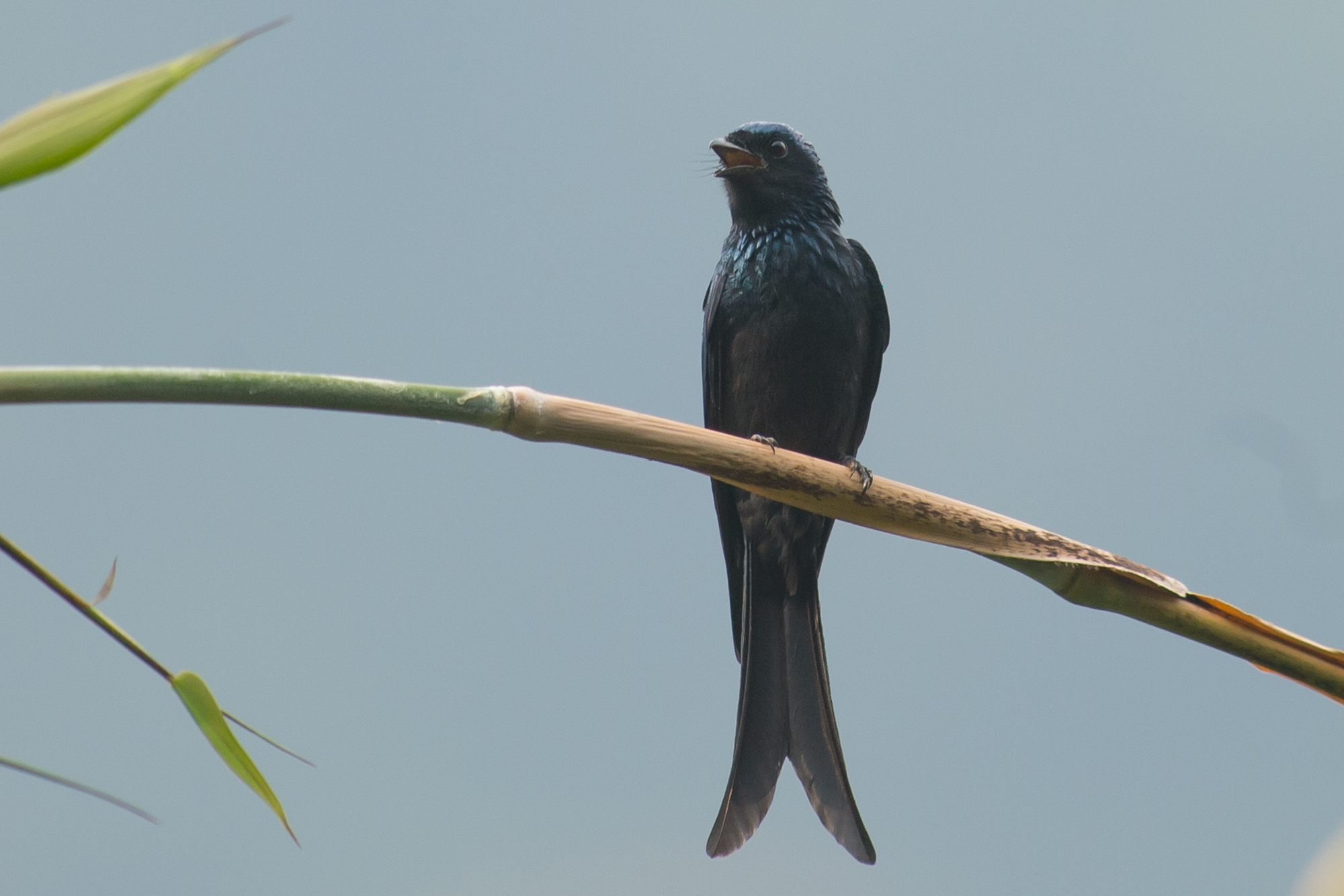
Dicrurus macrocercus
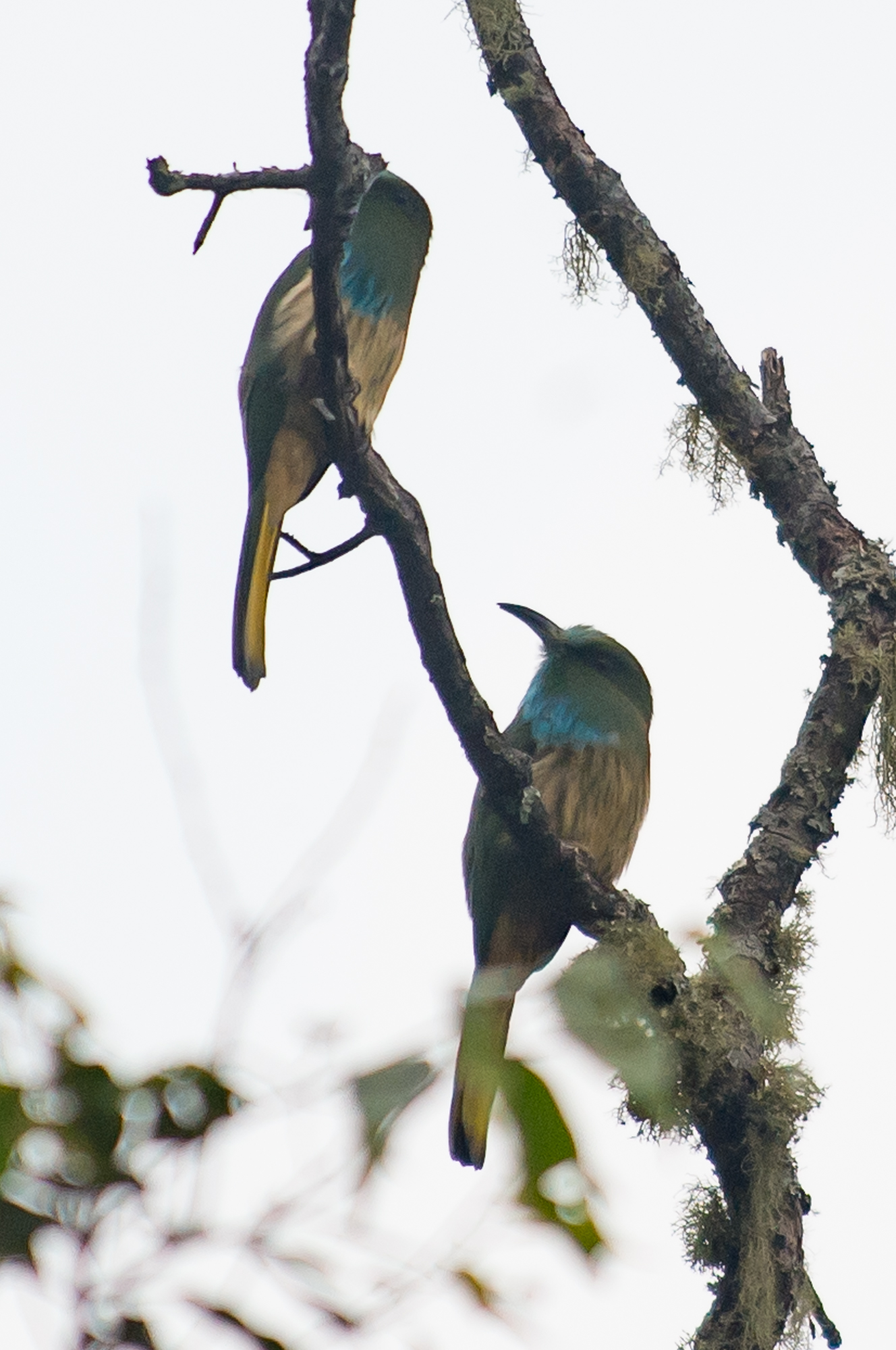
Nyctyornis athertoni

3655 Curious girl

3651 Golden-throated Barbet

Young Monk

Whirling Monks VII

Dancing For The Gods XI

Dancing For The Gods XII

Dancing For The Gods XIII
Topographic Map of Trongsa, Bhutan
Find elevation by address:

Places in Trongsa, Bhutan:
Places near Trongsa, Bhutan:
Zhemgang
Trongsa
Trongsa Town
Bhutan
Sarpang
Mountain Lodge
Jakar
Unnamed Road
Tsirang
Gangtey Monastery
Gangtey Lodge Bhutan
Nubding
Nobding Lower Secondary School
Sarpang
Wangdue Phodrang
Damphu
Tormoshangsa
Lhuntse
Mongar
Lhuntse
Recent Searches:
- Elevation of Corso Fratelli Cairoli, 35, Macerata MC, Italy
- Elevation of Tallevast Rd, Sarasota, FL, USA
- Elevation of 4th St E, Sonoma, CA, USA
- Elevation of Black Hollow Rd, Pennsdale, PA, USA
- Elevation of Oakland Ave, Williamsport, PA, USA
- Elevation of Pedrógão Grande, Portugal
- Elevation of Klee Dr, Martinsburg, WV, USA
- Elevation of Via Roma, Pieranica CR, Italy
- Elevation of Tavkvetili Mountain, Georgia
- Elevation of Hartfords Bluff Cir, Mt Pleasant, SC, USA