Elevation of Trongsa, Bhutan
Location: Bhutan > Trongsa >
Longitude: 90.5080634
Latitude: 27.5002269
Elevation: 2170m / 7119feet
Barometric Pressure: 78KPa
Elevation Map:
Satellite Map:
Related Photos:
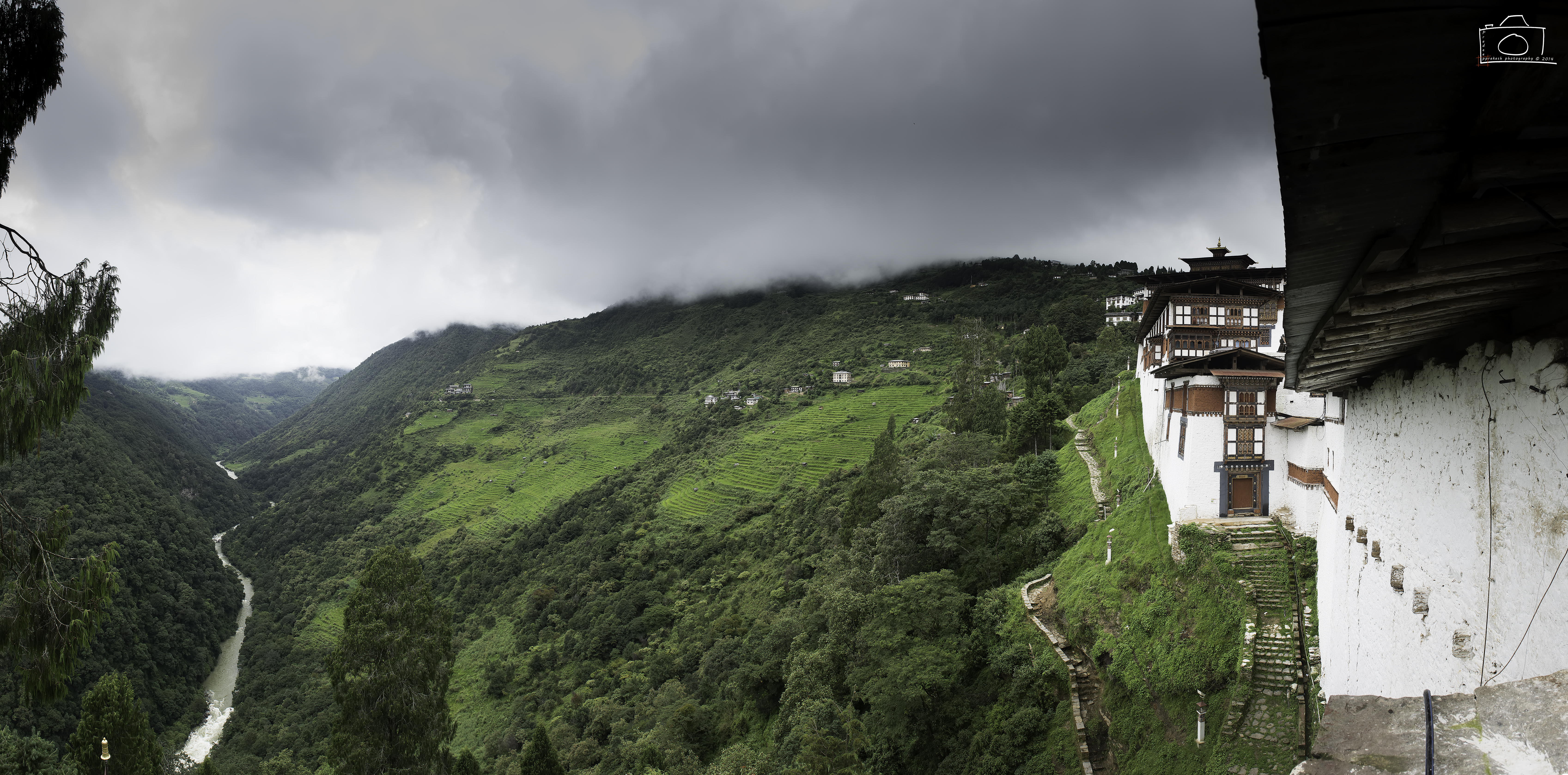
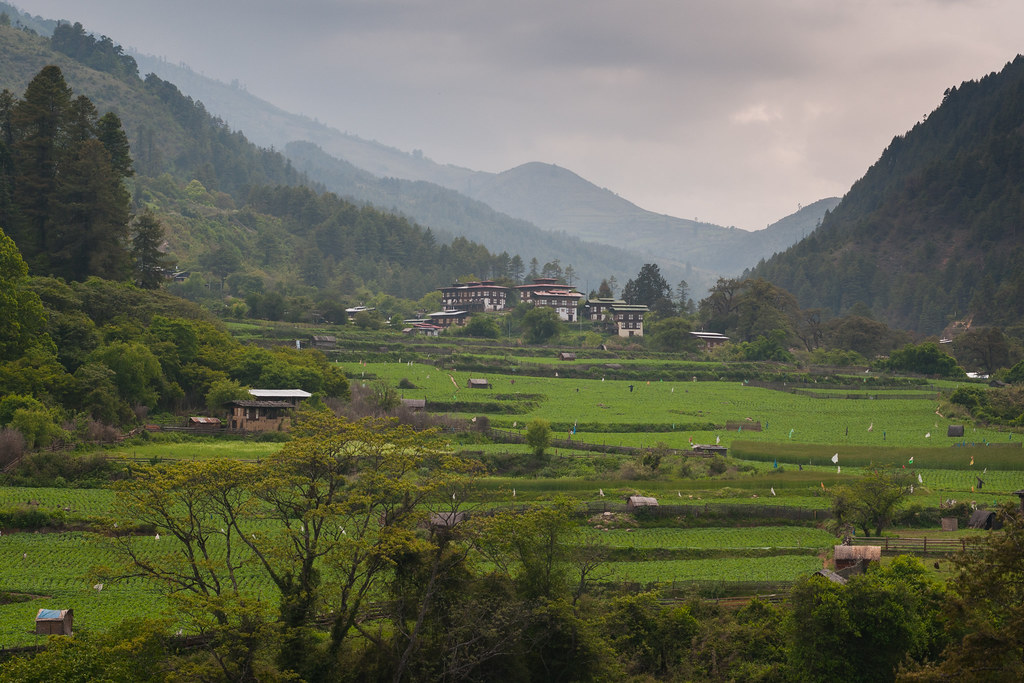
Dzong Valley View
View from Trongsa Dzong. Great viewpoint - no sneaking up on these guys!!
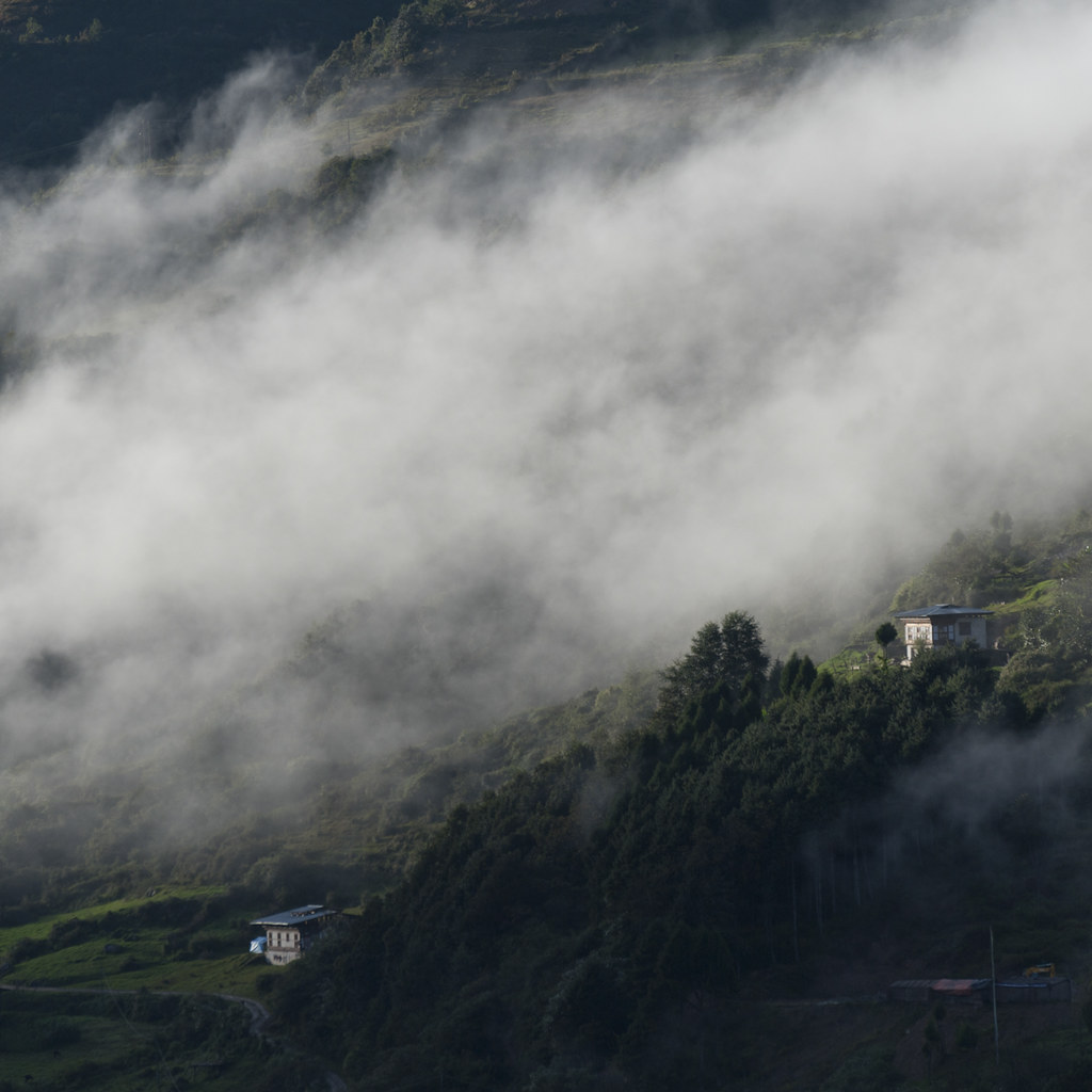
Trongsa in the Morning

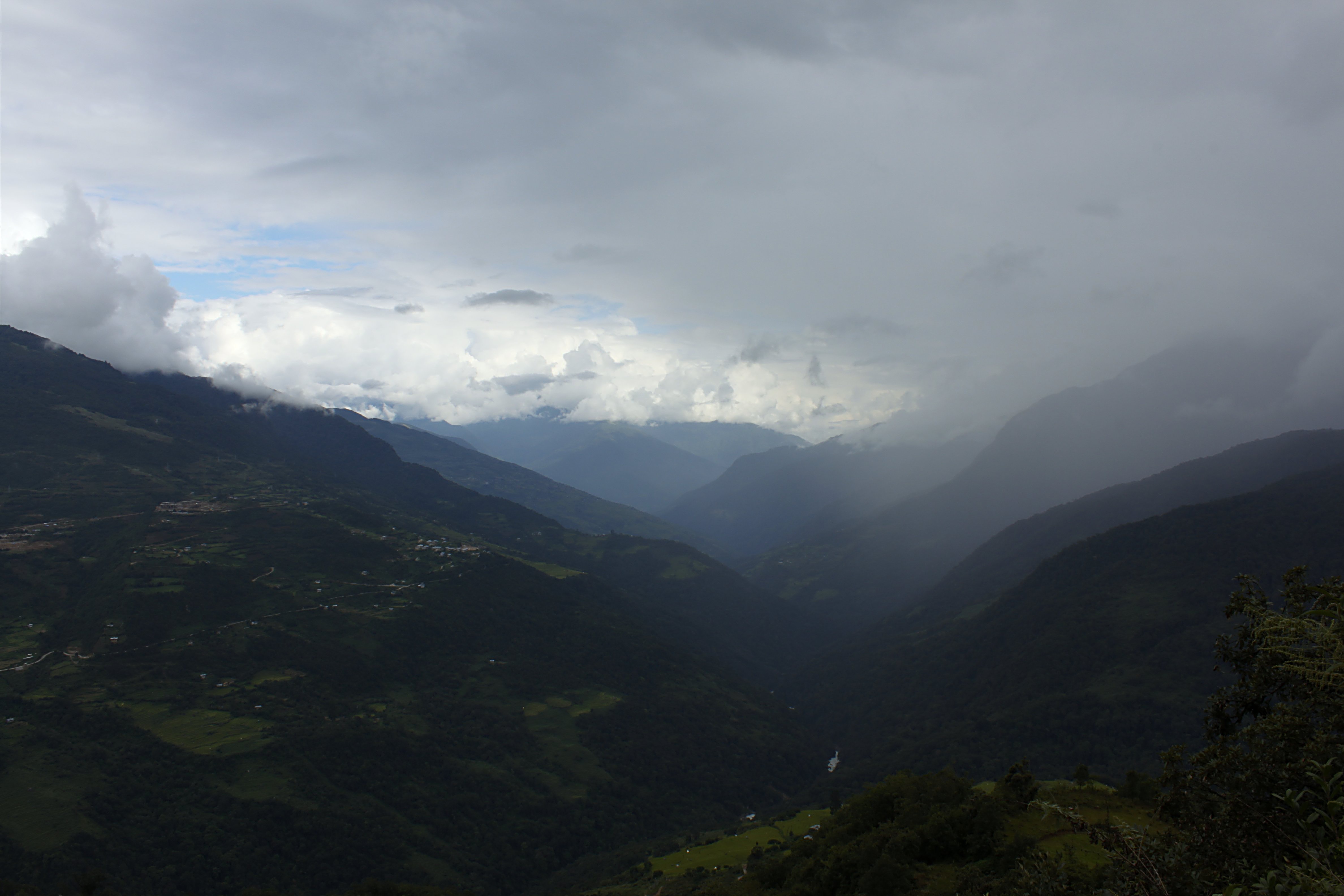
Clouds in the Valley (BW)
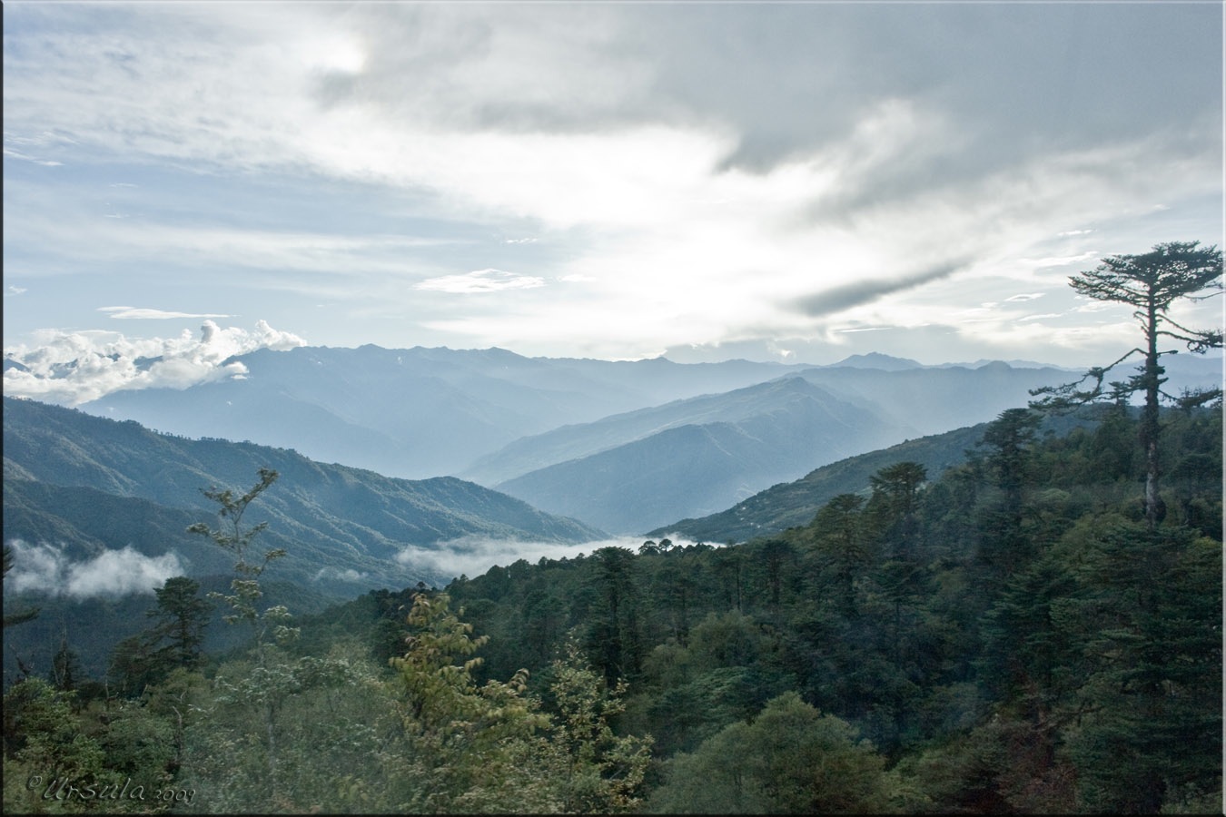
Clouds in the Valley

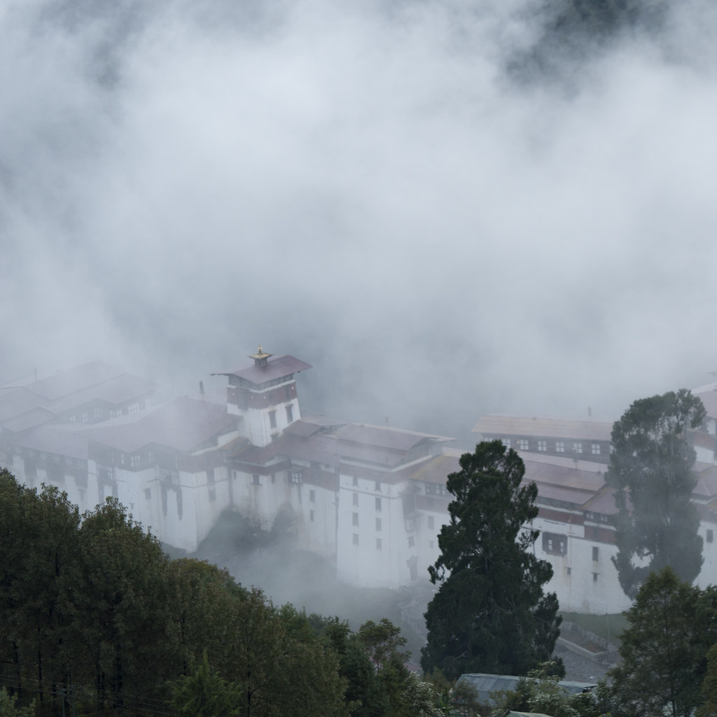
view of Trongsa fortress...Bhutan...

Snaking through lush valleys
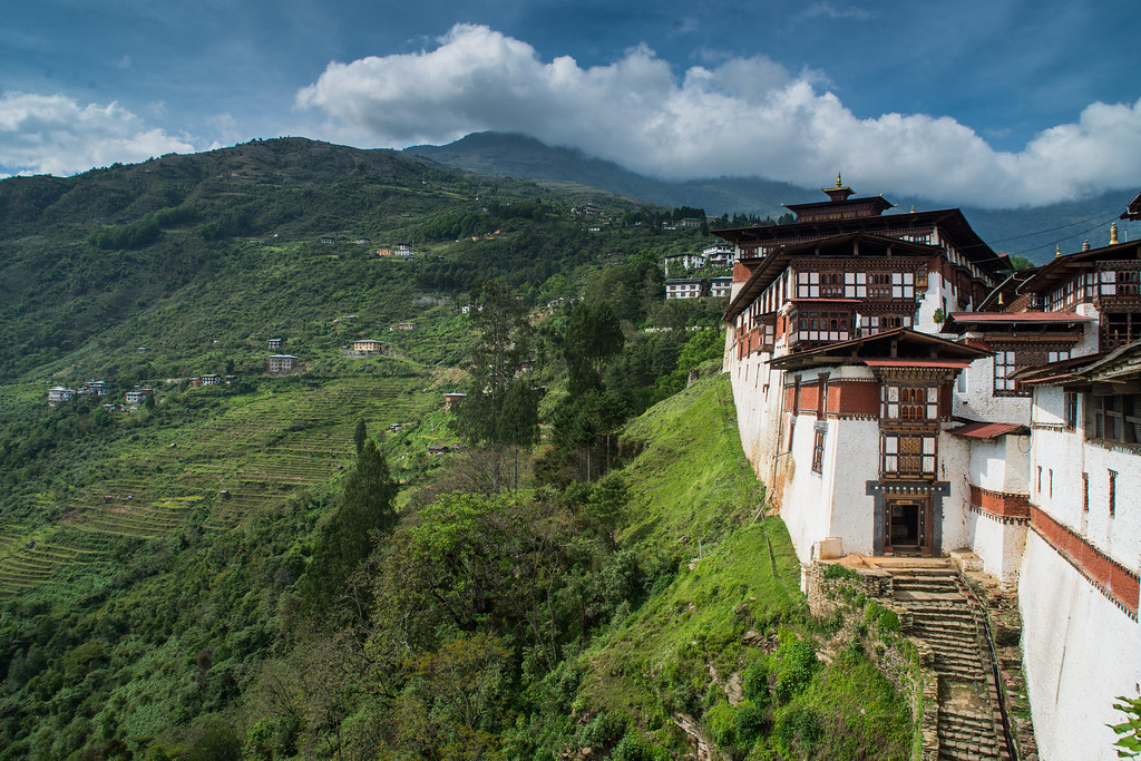
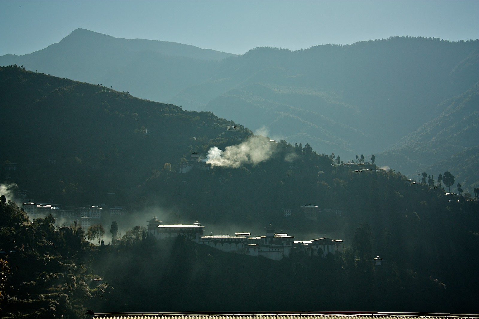
Trongsa Dzong and the greenery
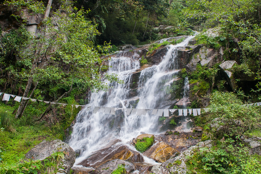
Cascading down
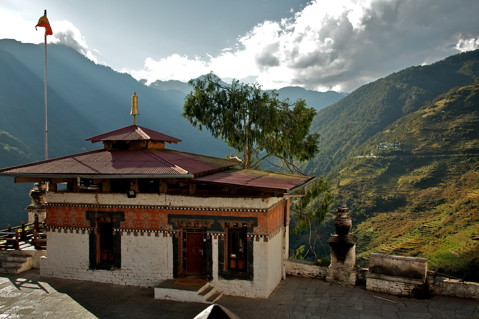
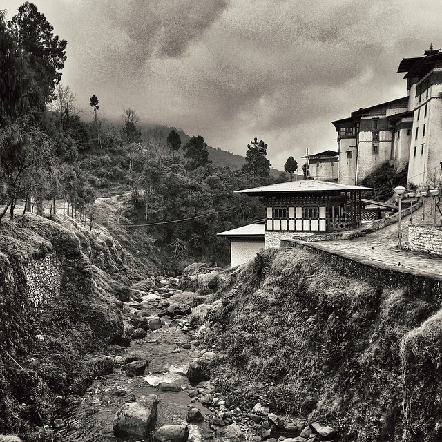
Trongsa Dzong
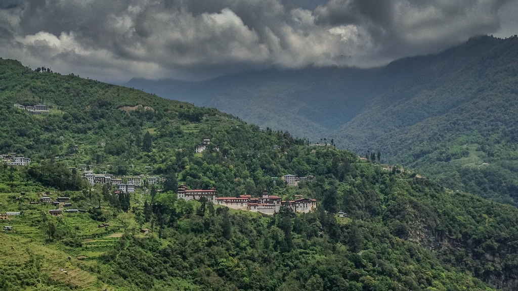
Trongsa Dzong amidst the greenery
Picture perfect valley

Seeing Eyes
Those clouds. #fluffy #Bhutan #happydays
Bhutan, Asia
20100924_03_BTN_- (1_80 seconds, F20, ISO 100)

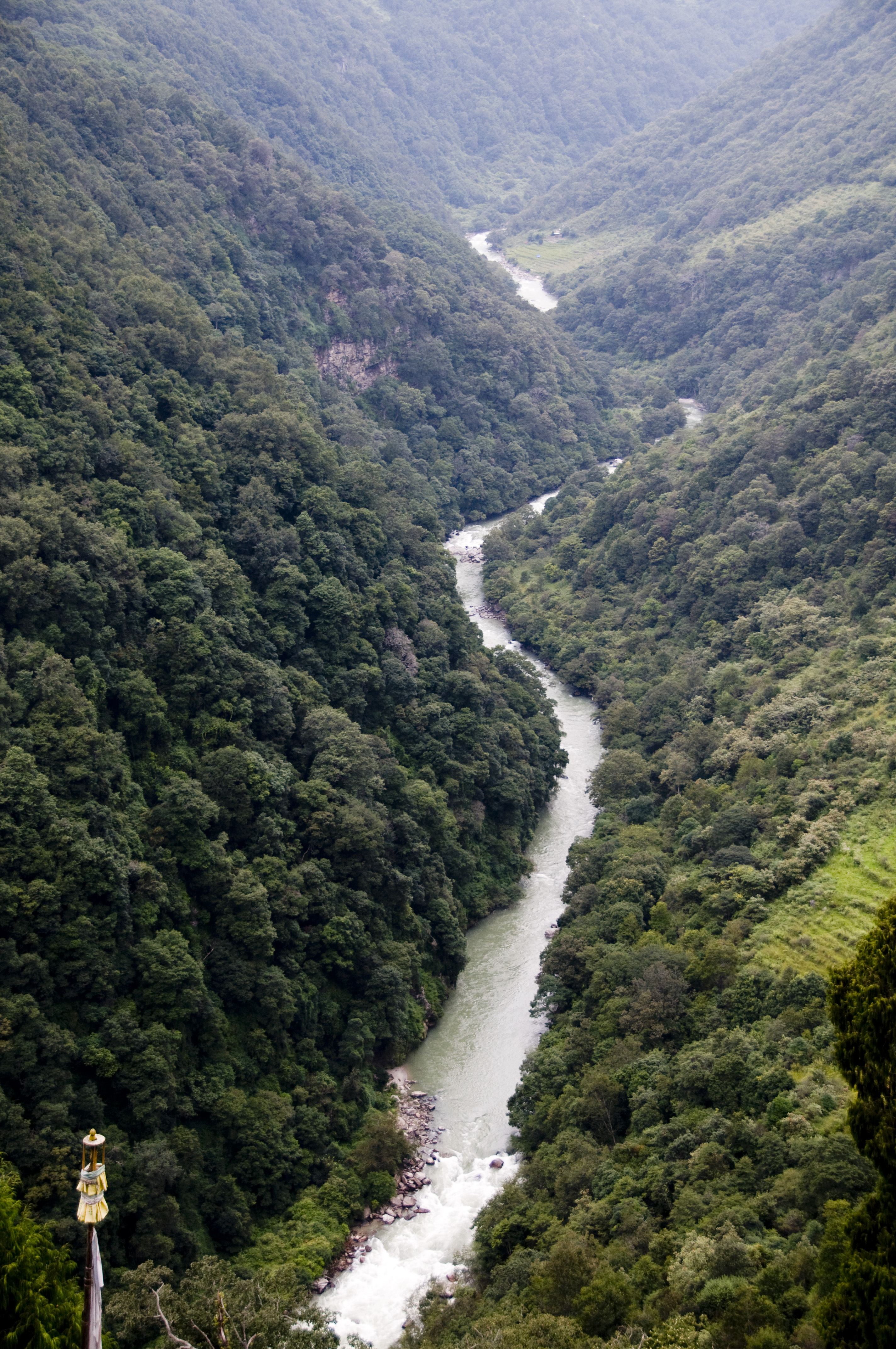
Winding river
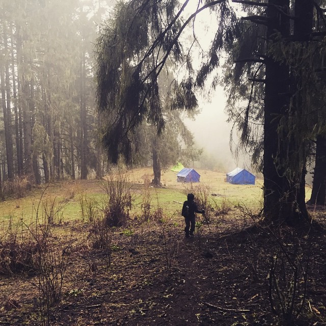
Day 3. After hiking through snow and mud and nearly getting lost in the whiteout, we finally reached our camp below the snow line. #bhutan #dagala #hike #camp #travel
#Bhutan #Trongsa ##Monochrom #Landscape #iPhone5s
Bhutan, Asia
At The Pass
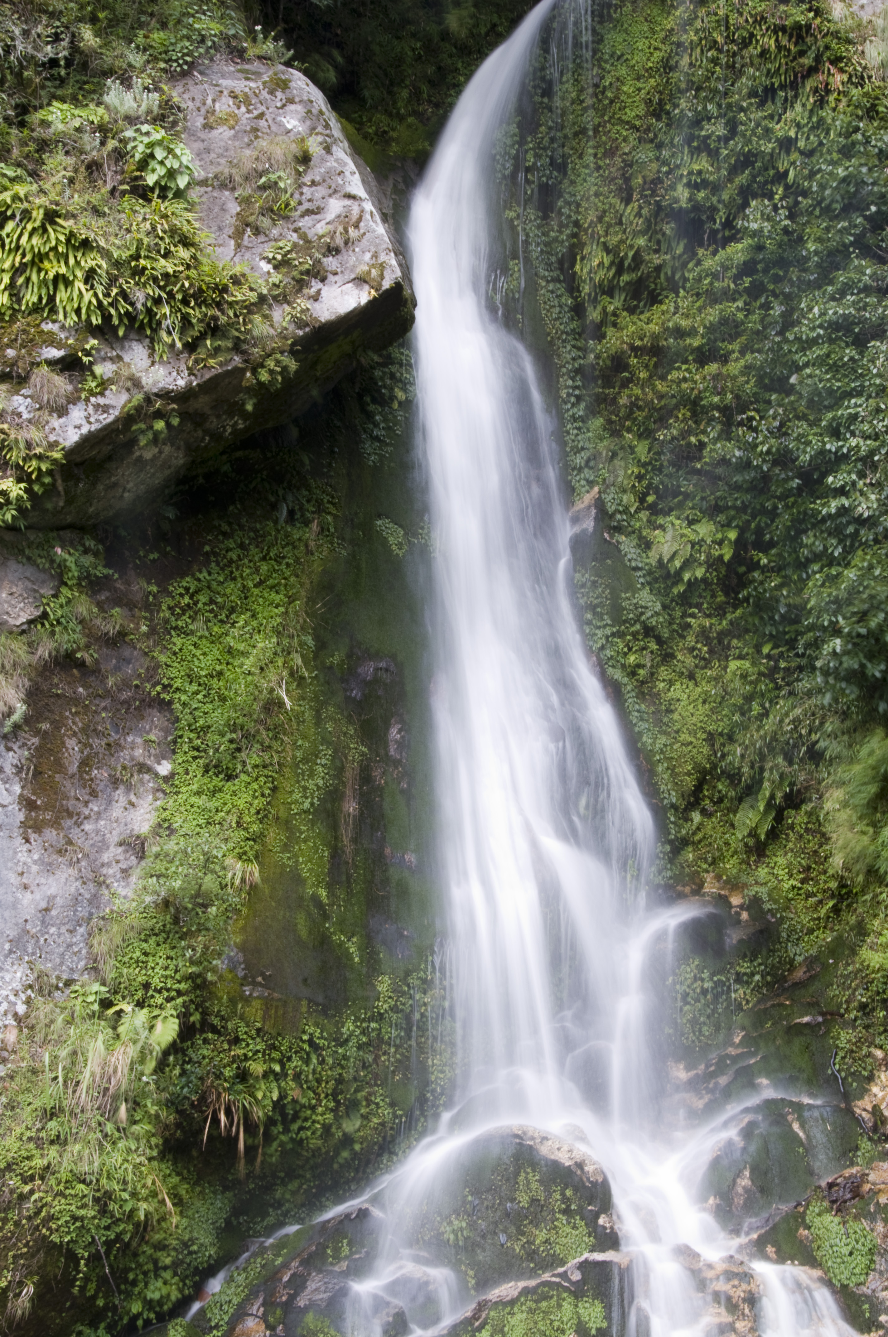
Just a random roadside waterfall
20100924_05_BTN_- (1_80 seconds, F20, ISO 100)
Bhutan, Asia

Green surface

20100918_19_BTN_- (1_3985 seconds, F3,5, ISO 100)

Bhutan 151
Topographic Map of Trongsa, Bhutan
Find elevation by address:

Places near Trongsa, Bhutan:
Trongsa Town
Bhutan
Trongsa
Jakar
Mountain Lodge
Gangtey Lodge Bhutan
Gangtey Monastery
Nubding
Nobding Lower Secondary School
Zhemgang
Wangdue Phodrang
Sarpang
Tsirang
Tormoshangsa
Unnamed Road
Damphu
Sarpang
Lhuntse
Lhuntse
Mongar
Recent Searches:
- Elevation of Corso Fratelli Cairoli, 35, Macerata MC, Italy
- Elevation of Tallevast Rd, Sarasota, FL, USA
- Elevation of 4th St E, Sonoma, CA, USA
- Elevation of Black Hollow Rd, Pennsdale, PA, USA
- Elevation of Oakland Ave, Williamsport, PA, USA
- Elevation of Pedrógão Grande, Portugal
- Elevation of Klee Dr, Martinsburg, WV, USA
- Elevation of Via Roma, Pieranica CR, Italy
- Elevation of Tavkvetili Mountain, Georgia
- Elevation of Hartfords Bluff Cir, Mt Pleasant, SC, USA