Elevation of Ugo, Ogachi District, Akita Prefecture, Japan
Location: Japan > Akita Prefecture > Ogachi District >
Longitude: 140.412923
Latitude: 39.1993232
Elevation: 70m / 230feet
Barometric Pressure: 100KPa
Elevation Map:
Satellite Map:
Related Photos:
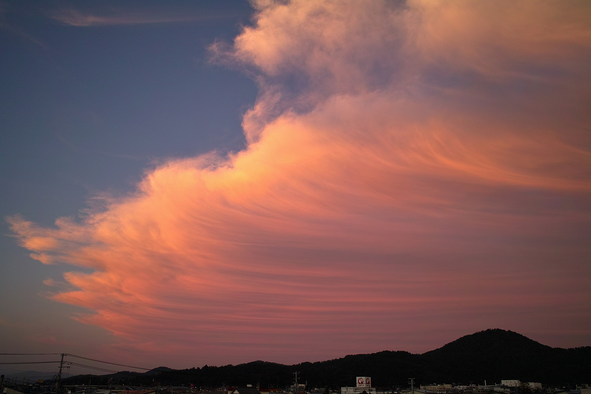
Gently...
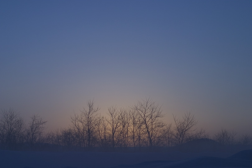
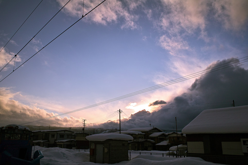
before dawn
田舎.
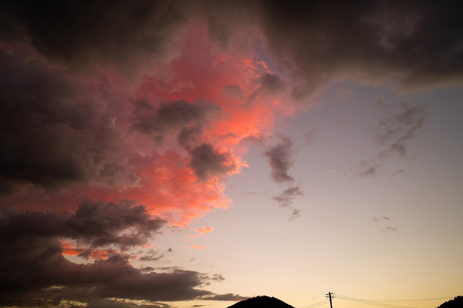
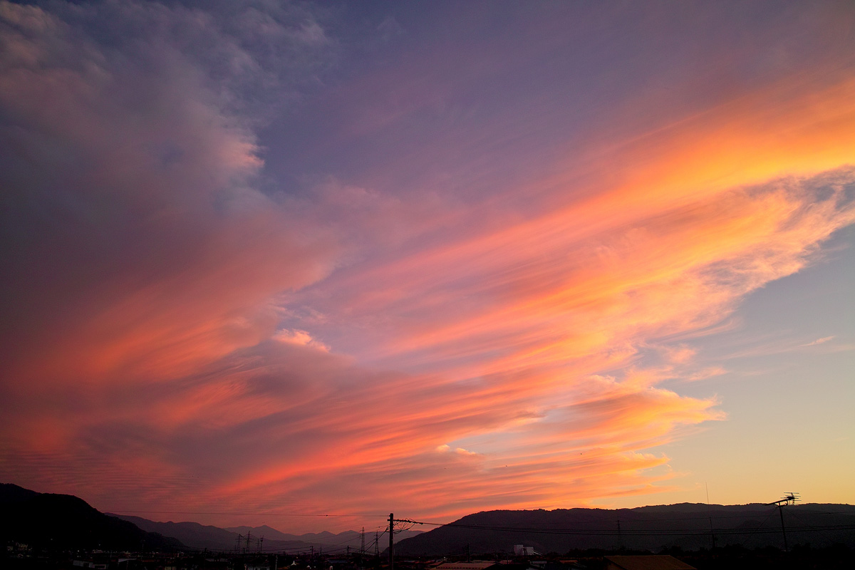
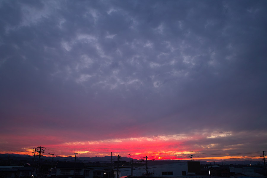
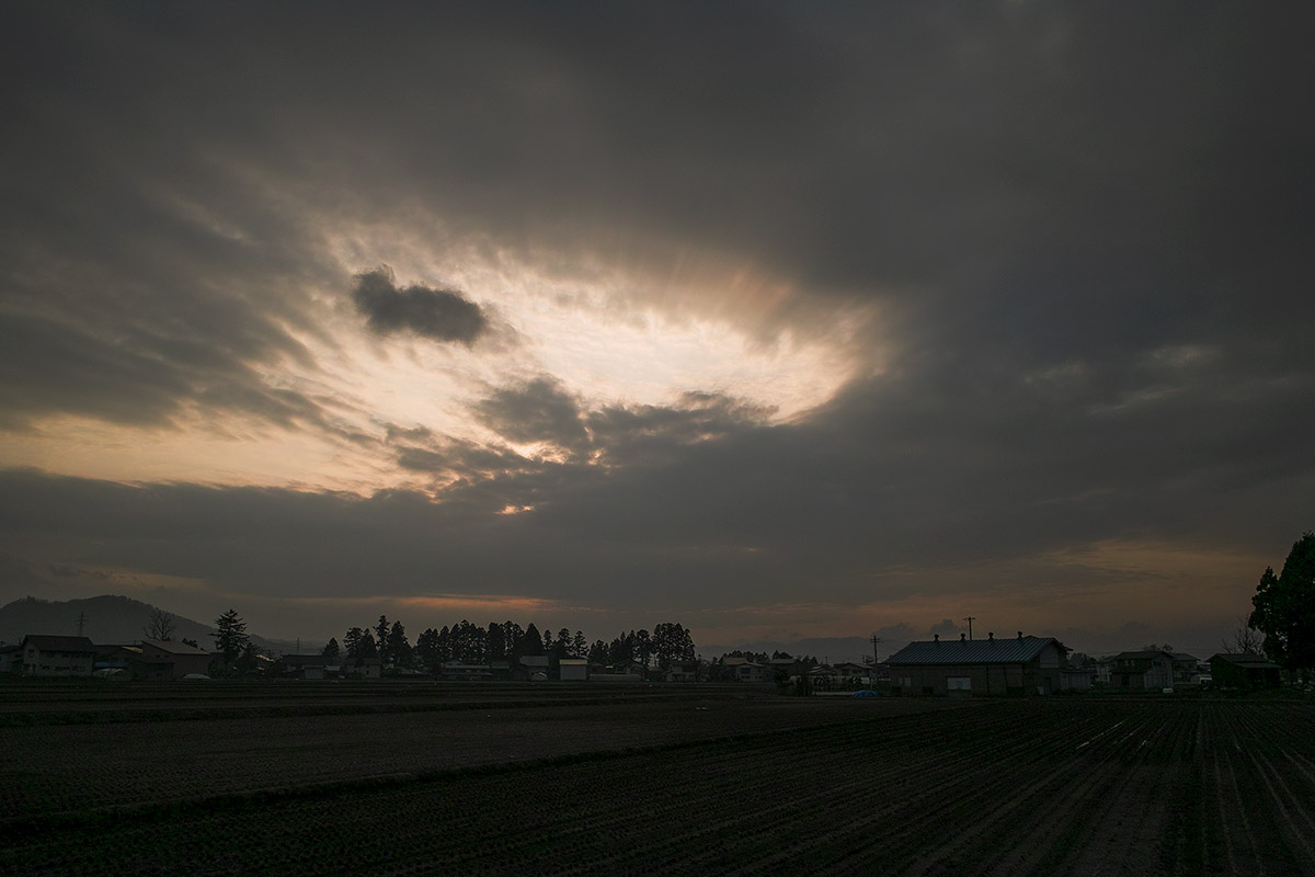
Red shine
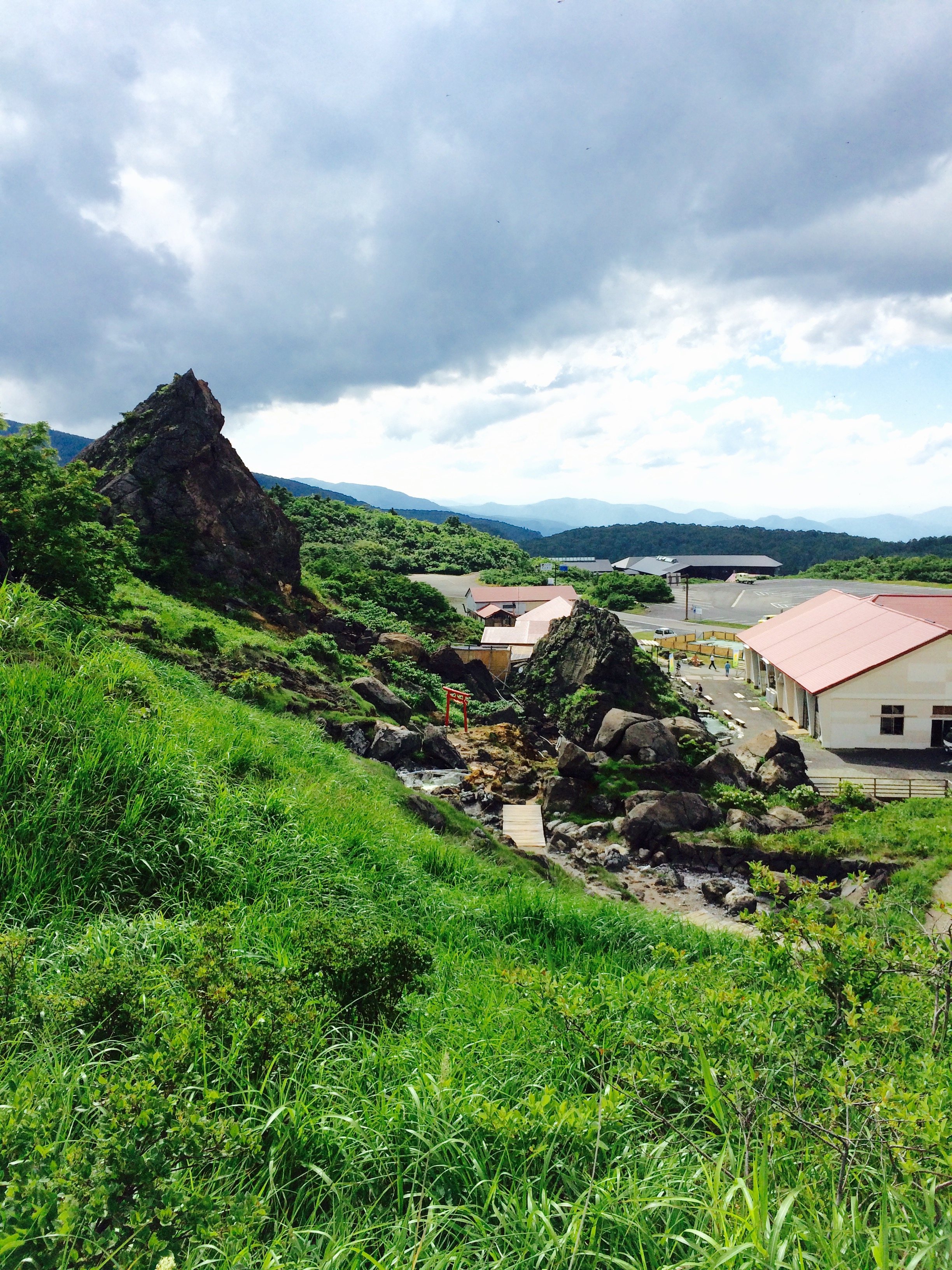
Sukawa onsen
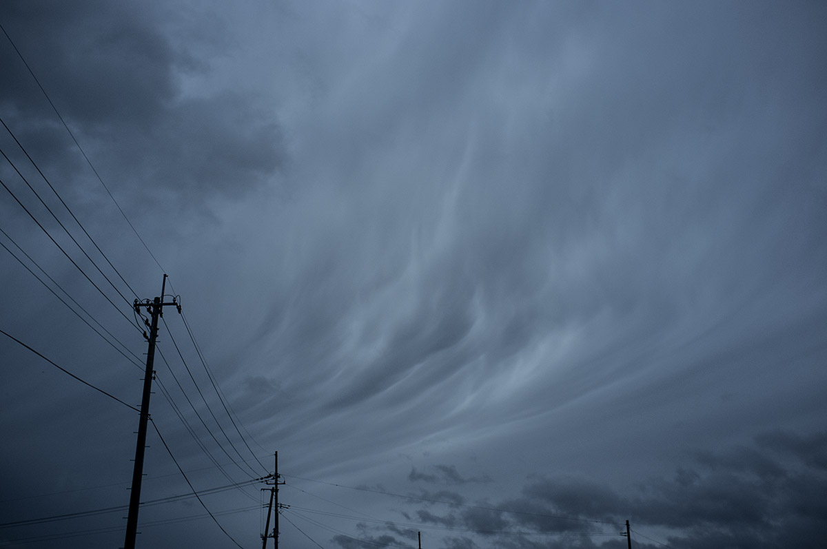
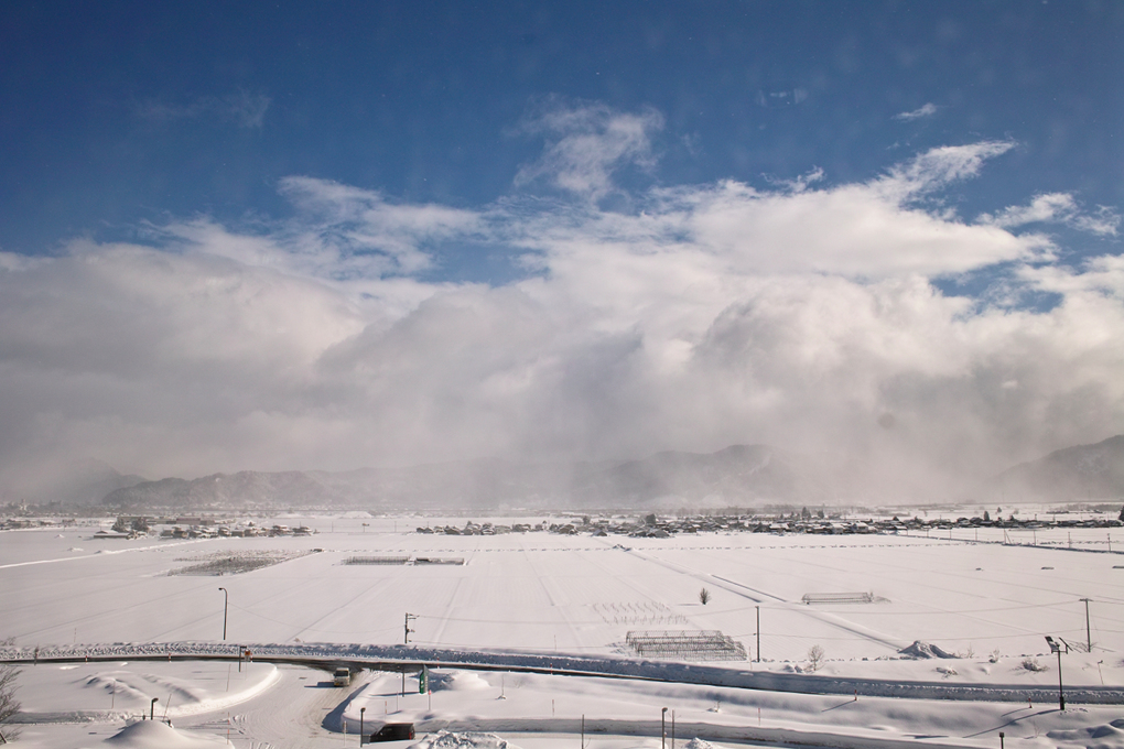
Curtain of clouds #03
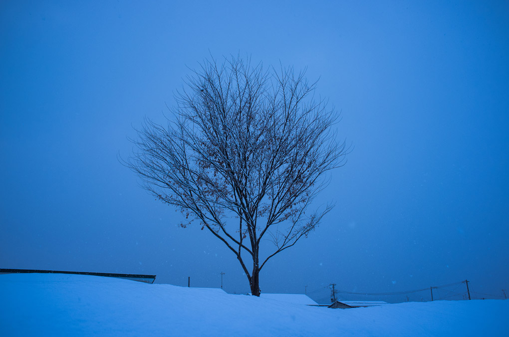
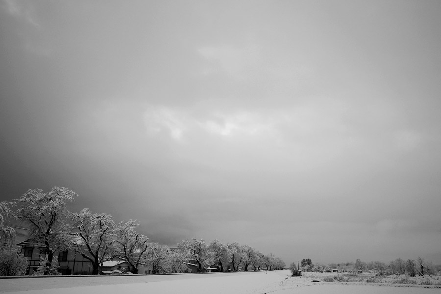
Snow lines
Curtain of clouds #01
Blue #05
The sky,after

-8

Yuzawa Inukko Winter Festival Ice Shrine (112 2012)
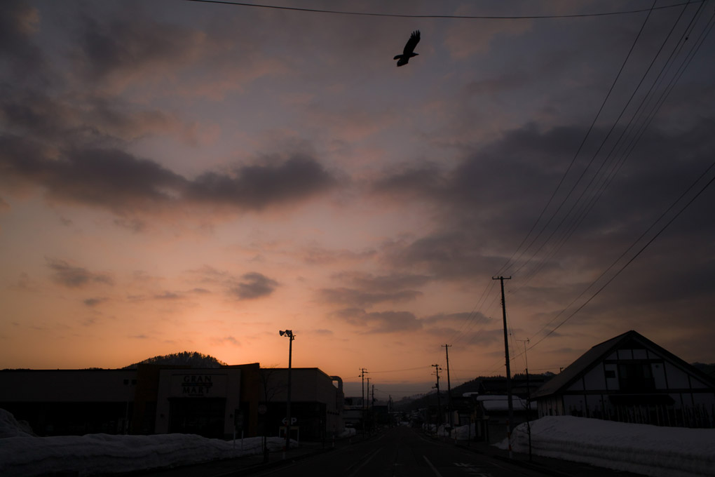
Searching for my yesterday
Upcoming !
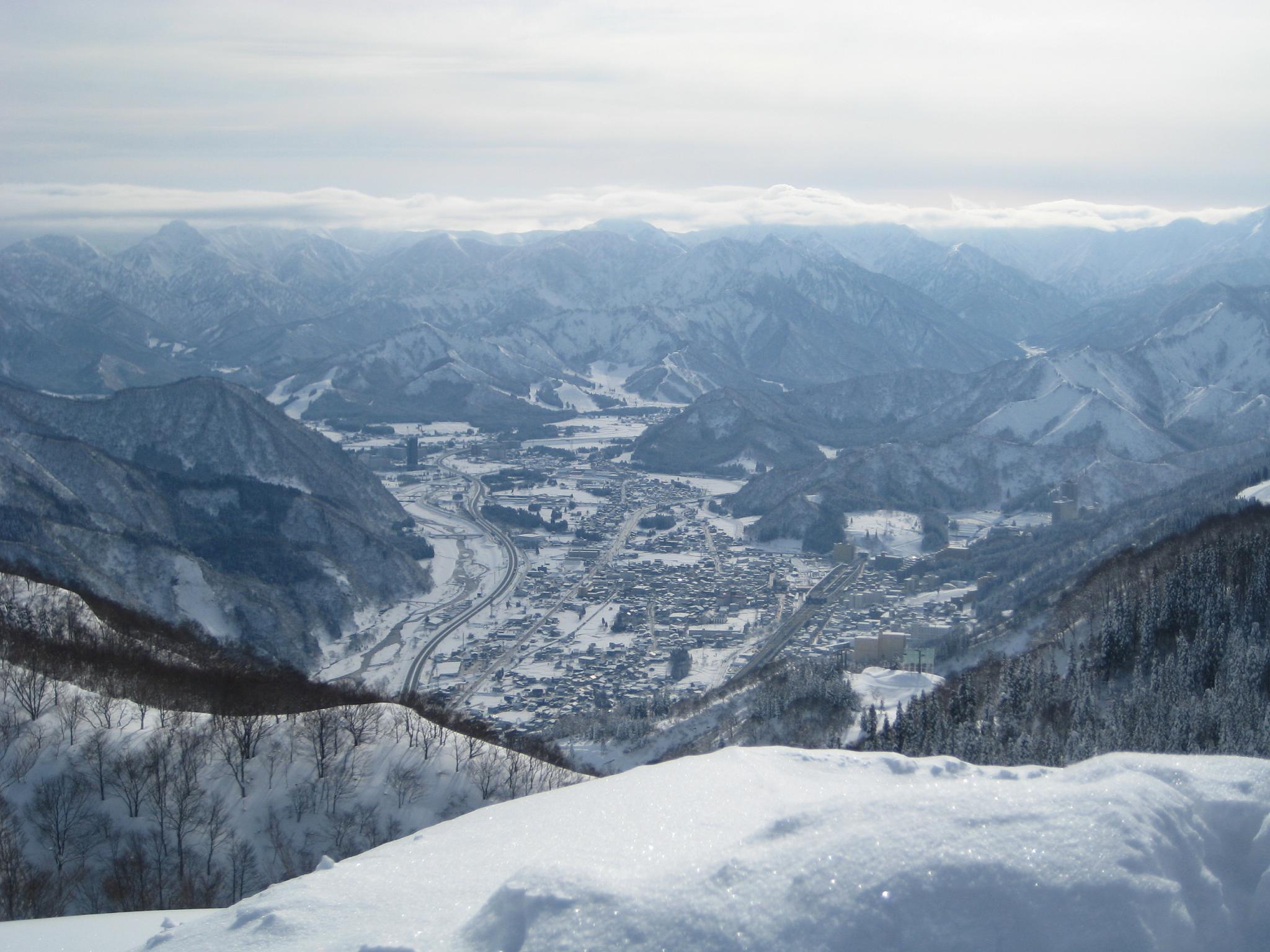
Echigo Yuzawa
I catch a dragon !
Spring time
snow trees

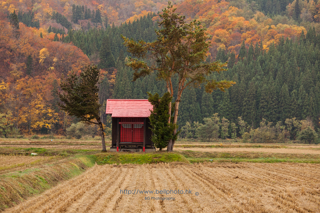
Onsen shrine

Sulphuric water from the rock

Sukawa onsen
Topographic Map of Ugo, Ogachi District, Akita Prefecture, Japan
Find elevation by address:

Places in Ugo, Ogachi District, Akita Prefecture, Japan:
Jōgozawa-50 Kamisendō, Ugo-machi, Ogachi-gun, Akita-ken -, Japan
Mizushiri-56 Nakasendō, Ugo-machi, Ogachi-gun, Akita-ken -, Japan
Kamitsunagisawa-55 Kamisendō, Ugo-machi, Ogachi-gun, Akita-ken -, Japan
Yamagishi-78 Kamisendō, Ugo-machi, Ogachi-gun, Akita-ken -, Japan
Nishimata- Kamisendō, Ugo-machi, Ogachi-gun, Akita-ken -, Japan
Nishinosawa-48 Tazawa, Ugo-machi, Ogachi-gun, Akita-ken -, Japan
Fumoto-95 Tashiro, Ugo-machi, Ogachi-gun, Akita-ken -, Japan
Places near Ugo, Ogachi District, Akita Prefecture, Japan:
Ogachi District
Nishinosawa-48 Tazawa, Ugo-machi, Ogachi-gun, Akita-ken -, Japan
-5 Nakano, Yuzawa-shi, Akita-ken -, Japan
Yuzawa
Fumoto-95 Tashiro, Ugo-machi, Ogachi-gun, Akita-ken -, Japan
Mizushiri-56 Nakasendō, Ugo-machi, Ogachi-gun, Akita-ken -, Japan
Jōgozawa-50 Kamisendō, Ugo-machi, Ogachi-gun, Akita-ken -, Japan
Yamagishi-78 Kamisendō, Ugo-machi, Ogachi-gun, Akita-ken -, Japan
Iehigashi-19-16 Jūmonjimachi Nashinoki, Yokote-shi, Akita-ken -, Japan
Nishimata- Kamisendō, Ugo-machi, Ogachi-gun, Akita-ken -, Japan
Kamitsunagisawa-55 Kamisendō, Ugo-machi, Ogachi-gun, Akita-ken -, Japan
Fujimaki-1 Taiyū, Yokote-shi, Akita-ken -, Japan
Nagahatano-78 Chōkaimachi Shimojinego, Yurihonjō-shi, Akita-ken -, Japan
Shinbaba-9 Shimoinnai, Yuzawa-shi, Akita-ken -, Japan
Tanaka-36 Chōkaimachi Shimojinego, Yurihonjō-shi, Akita-ken -, Japan
Hatchōshinmachi-17-40 Kamiinnai, Yuzawa-shi, Akita-ken -, Japan
Tayōbashi-48 Shimoinnai, Yuzawa-shi, Akita-ken -, Japan
Seibeinishi-56 Taiyū, Yokote-shi, Akita-ken -, Japan
Ichinotsubo-23-5 Chōkaimachi Shimojinego, Yurihonjō-shi, Akita-ken -, Japan
Shindō-16 Yanagida, Yokote-shi, Akita-ken -, Japan
Recent Searches:
- Elevation of Corso Fratelli Cairoli, 35, Macerata MC, Italy
- Elevation of Tallevast Rd, Sarasota, FL, USA
- Elevation of 4th St E, Sonoma, CA, USA
- Elevation of Black Hollow Rd, Pennsdale, PA, USA
- Elevation of Oakland Ave, Williamsport, PA, USA
- Elevation of Pedrógão Grande, Portugal
- Elevation of Klee Dr, Martinsburg, WV, USA
- Elevation of Via Roma, Pieranica CR, Italy
- Elevation of Tavkvetili Mountain, Georgia
- Elevation of Hartfords Bluff Cir, Mt Pleasant, SC, USA