Elevation of Seibeinishi-56 Taiyū, Yokote-shi, Akita-ken -, Japan
Location: Japan > Akita Prefecture > Yokote >
Longitude: 140.4830324
Latitude: 39.333191
Elevation: 42m / 138feet
Barometric Pressure: 0KPa
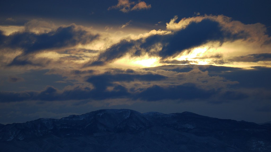
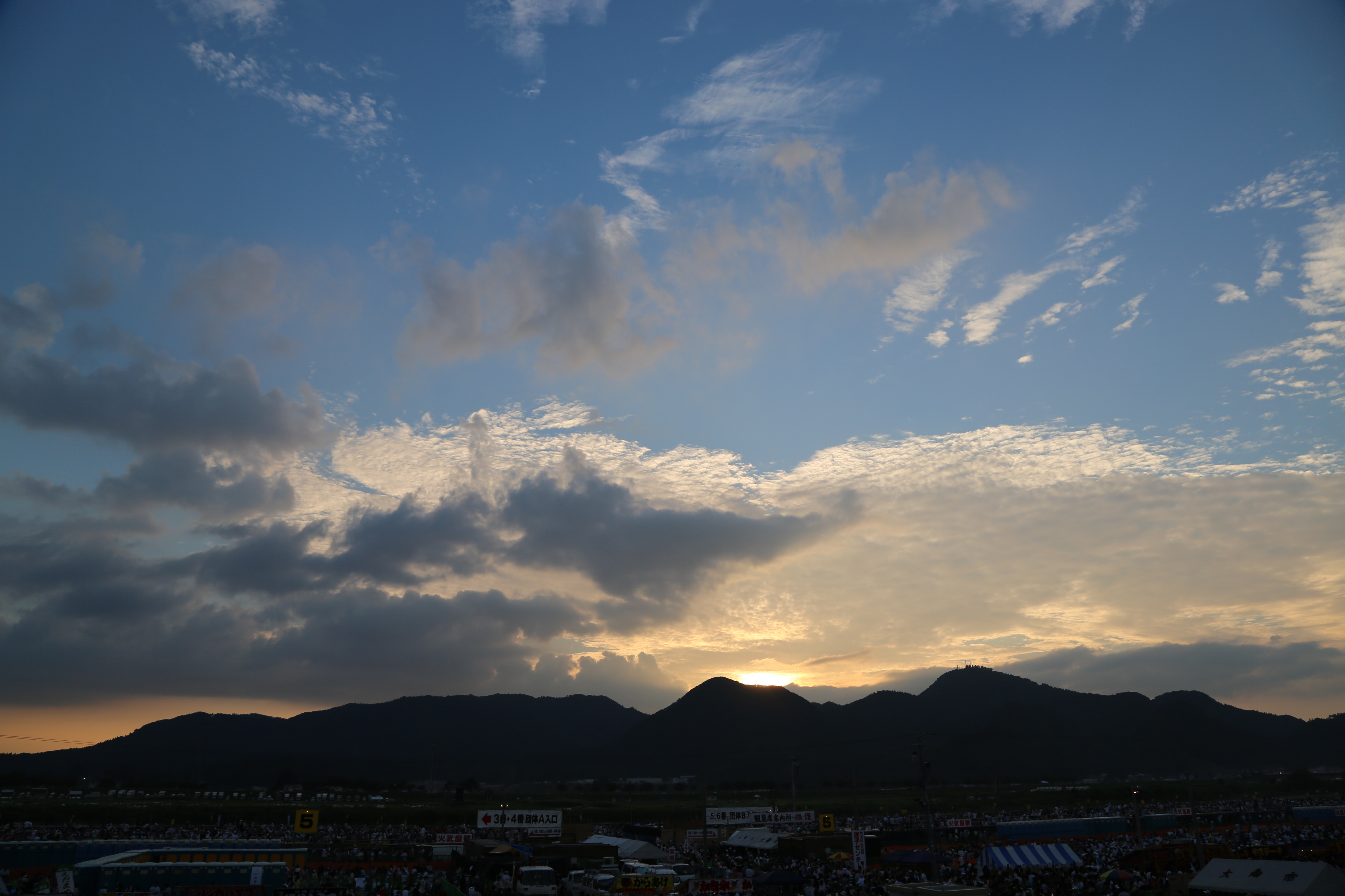
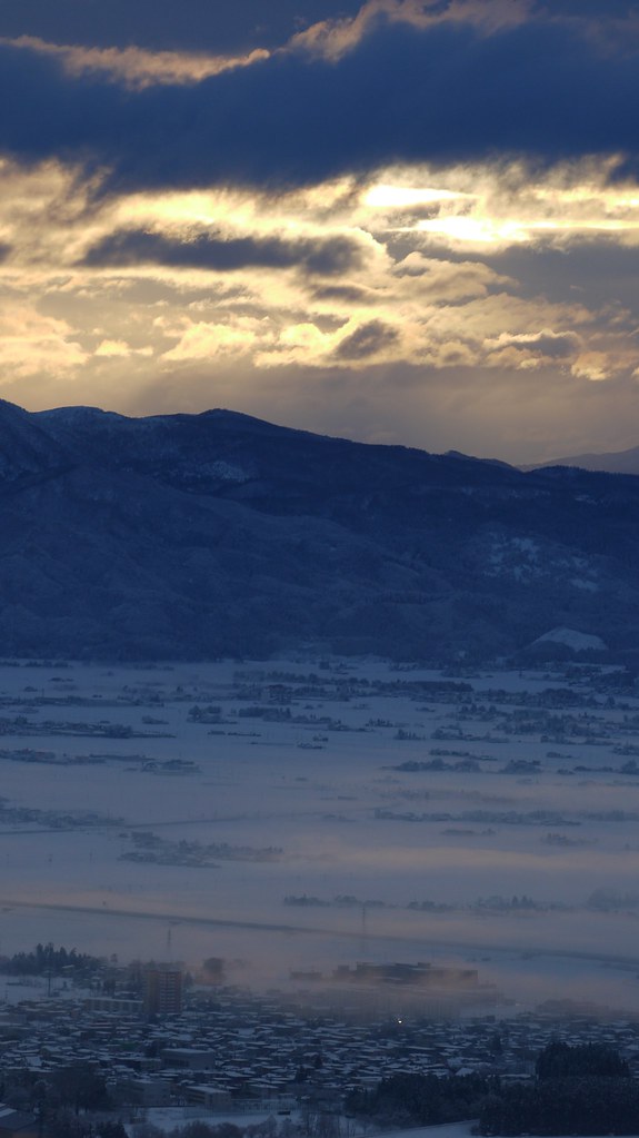
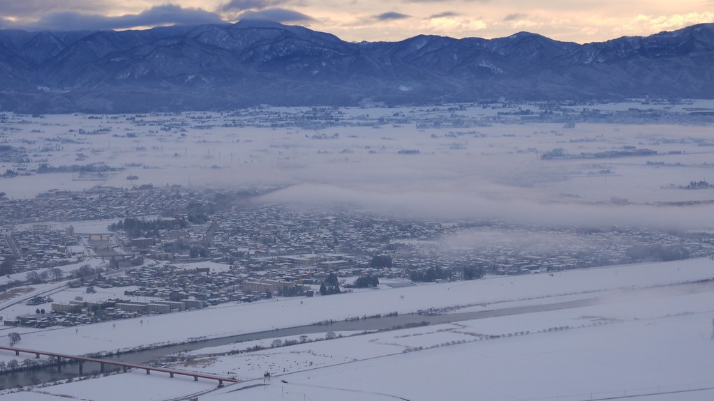
Related Photos:

5D3L0617.JPG
5D3L0584.JPG
5D3L0612.JPG

5D3L0854.JPG

5D3L0611.JPG
5D3L0602.JPG
5D3L0601.JPG
New Year's Day (お初月姫神山登山) - 030

5D3L0603.JPG
5D3L0615.JPG

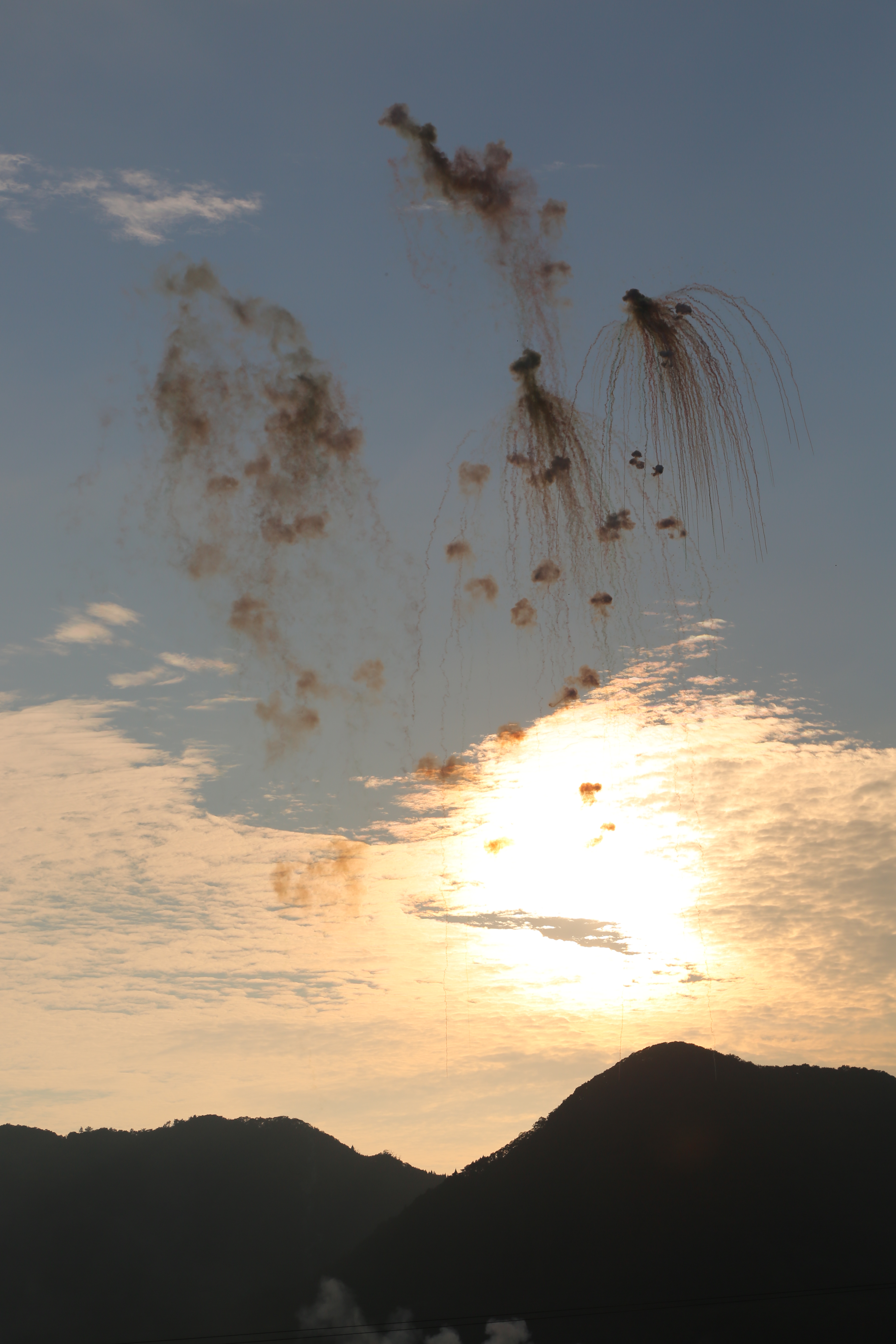
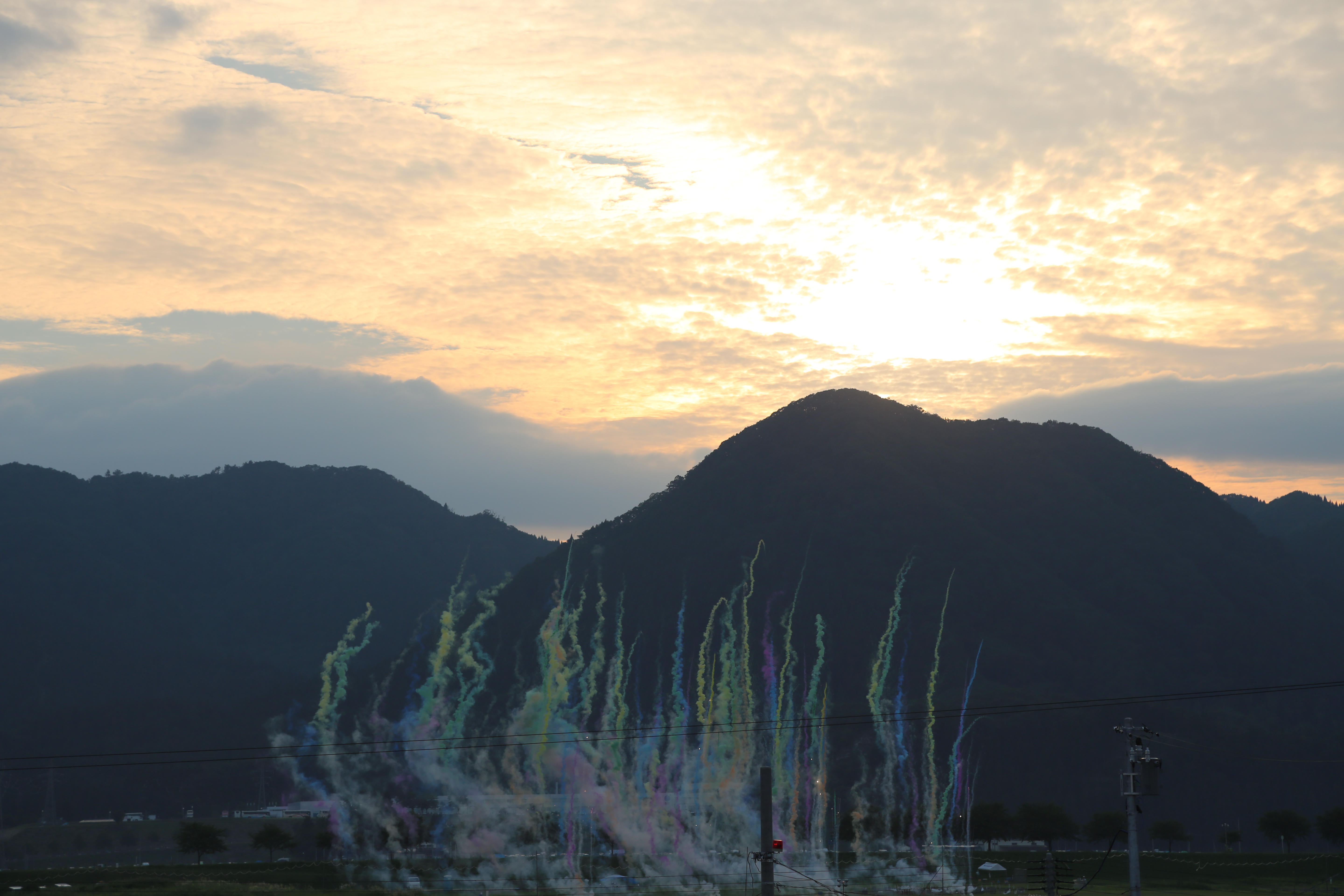
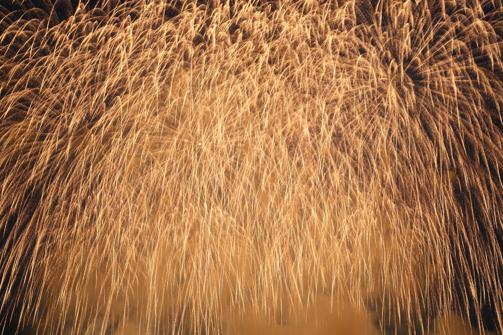
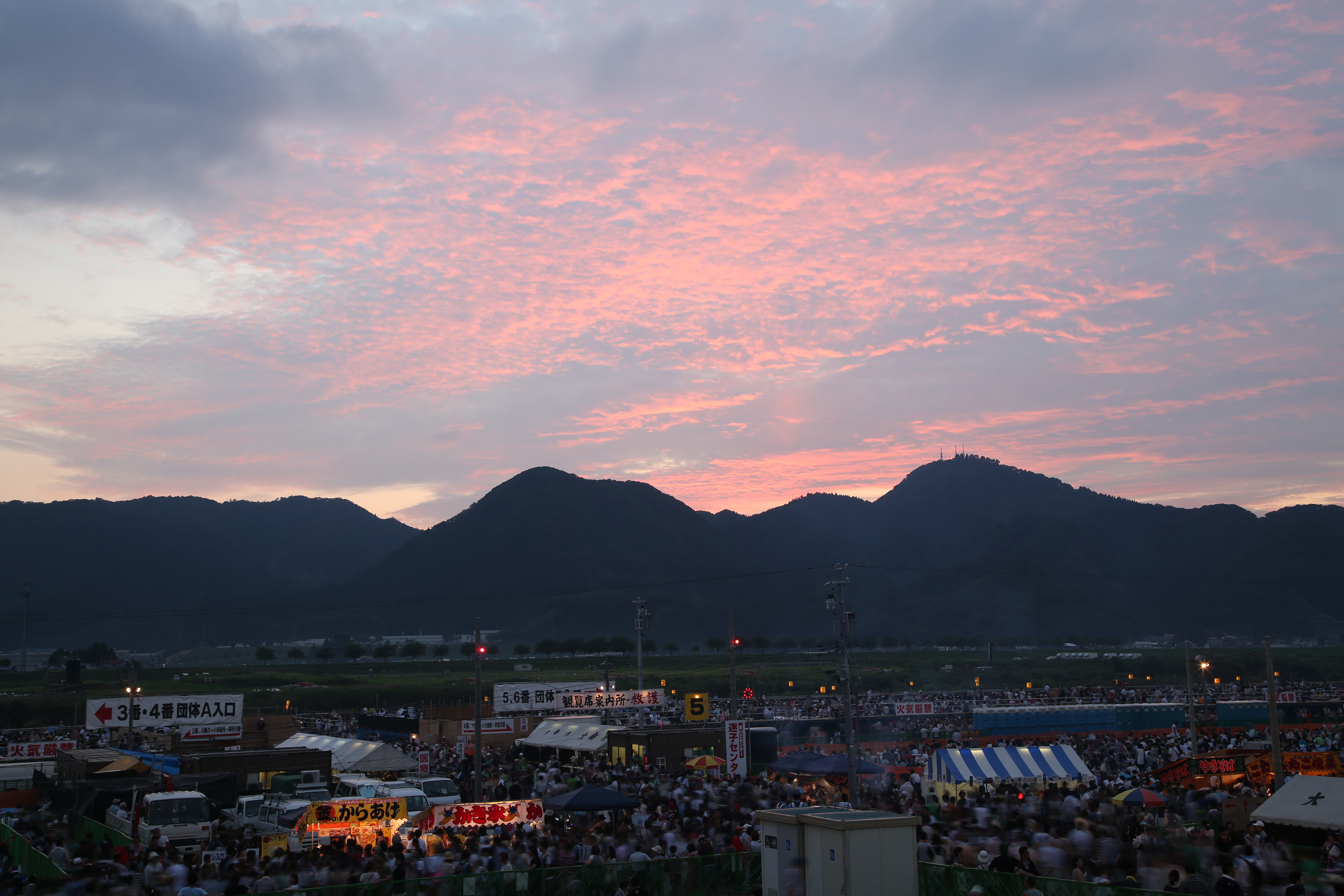
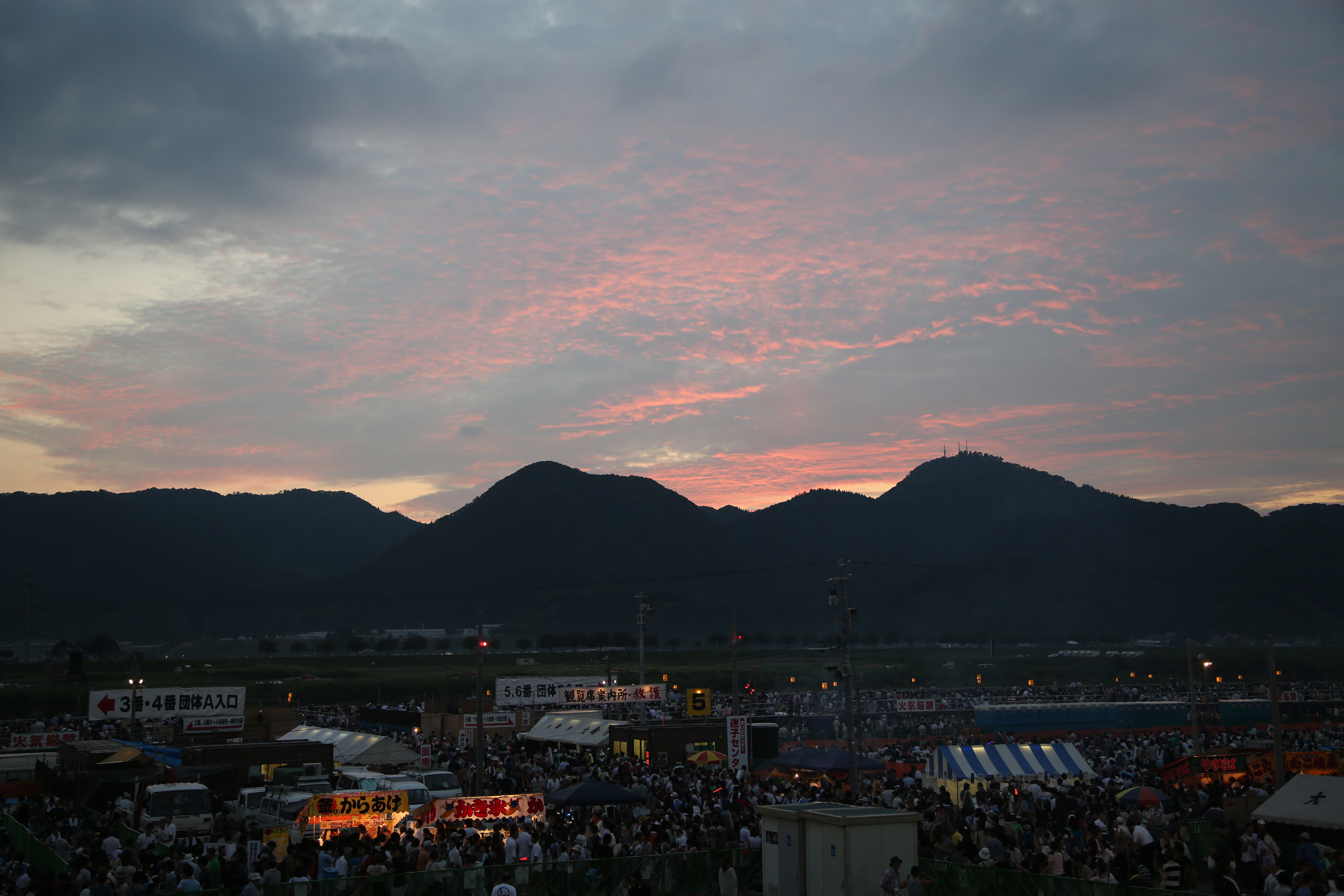
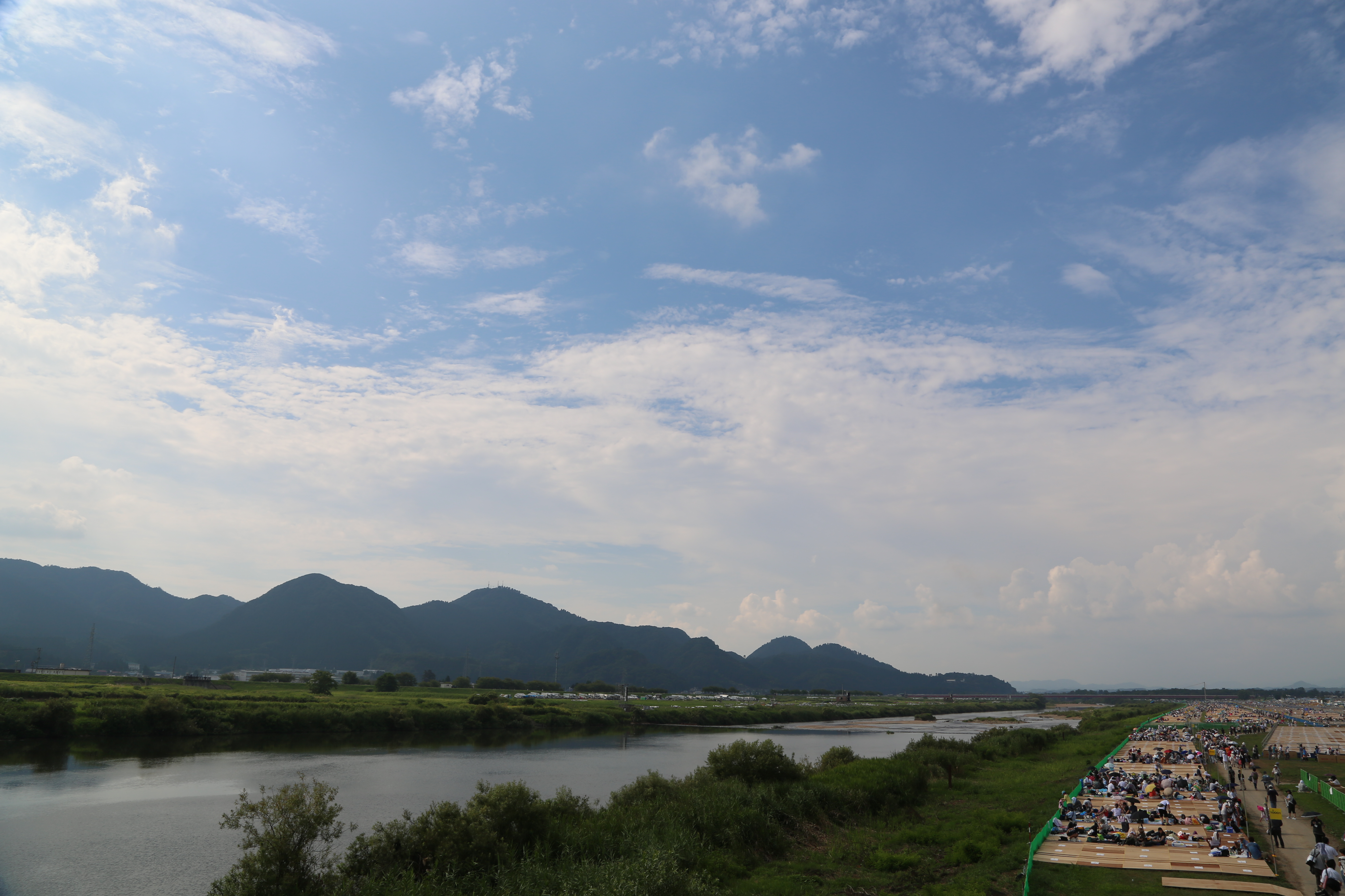
85th Omagari National Fireworks Competition 402
New Year's Day (お初月姫神山登山) - 045
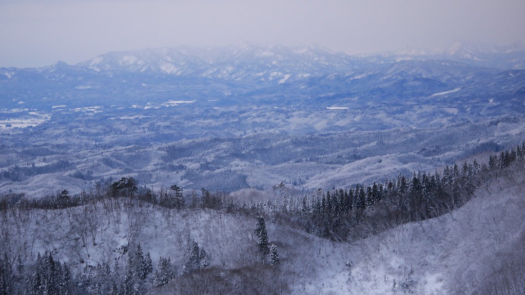
New Year's Day (お初月姫神山登山) - 075
5D3L0644.JPG
5D3L0632.JPG
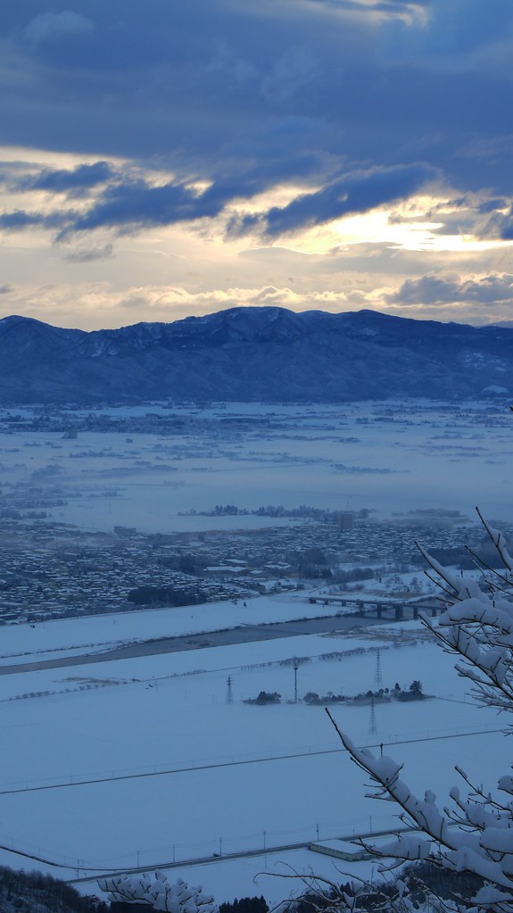
New Year's Day (お初月姫神山登山) - 051

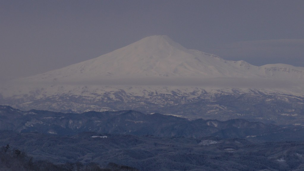
Dramatic Morning.
5D3L0633.JPG
5D3L0577.JPG
New Year's Day (お初月姫神山登山) - 055
New Year's Day (お初月姫神山登山) - 029
Topographic Map of Seibeinishi-56 Taiyū, Yokote-shi, Akita-ken -, Japan
Find elevation by address:

Places near Seibeinishi-56 Taiyū, Yokote-shi, Akita-ken -, Japan:
Fujimaki-1 Taiyū, Yokote-shi, Akita-ken -, Japan
Shindō-16 Yanagida, Yokote-shi, Akita-ken -, Japan
Yokote
2 Shiroyamamachi
Yokote Castle
2-48 Matsubaramachi, Yokote-shi, Akita-ken -, Japan
Iehigashi-19-16 Jūmonjimachi Nashinoki, Yokote-shi, Akita-ken -, Japan
Ugo
Hizawa-16 Sannaihiranosawa, Yokote-shi, Akita-ken -, Japan
Yuzawa
-5 Nakano, Yuzawa-shi, Akita-ken -, Japan
Ogachi District
Nishinosawa-48 Tazawa, Ugo-machi, Ogachi-gun, Akita-ken -, Japan
Ryōzenji-36 Higashiyurioikata, Yurihonjō-shi, Akita-ken -, Japan
Yahata-36 Higashiyuritateai, Yurihonjō-shi, Akita-ken -, Japan
Fumoto-95 Tashiro, Ugo-machi, Ogachi-gun, Akita-ken -, Japan
Kamasaka- Higashiyurikura, Yurihonjō-shi, Akita-ken -, Japan
Mizushiri-56 Nakasendō, Ugo-machi, Ogachi-gun, Akita-ken -, Japan
Jōgozawa-50 Kamisendō, Ugo-machi, Ogachi-gun, Akita-ken -, Japan
Yamagishi-78 Kamisendō, Ugo-machi, Ogachi-gun, Akita-ken -, Japan
Recent Searches:
- Elevation of North 8th Street, Palatka, Putnam County, Florida, 32177, USA
- Elevation of 107, Big Apple Road, East Palatka, Putnam County, Florida, 32131, USA
- Elevation of Jiezi, Chongzhou City, Sichuan, China
- Elevation of Chongzhou City, Sichuan, China
- Elevation of Huaiyuan, Chongzhou City, Sichuan, China
- Elevation of Qingxia, Chengdu, Sichuan, China
- Elevation of Corso Fratelli Cairoli, 35, Macerata MC, Italy
- Elevation of Tallevast Rd, Sarasota, FL, USA
- Elevation of 4th St E, Sonoma, CA, USA
- Elevation of Black Hollow Rd, Pennsdale, PA, USA
- Elevation of Oakland Ave, Williamsport, PA, USA
- Elevation of Pedrógão Grande, Portugal
- Elevation of Klee Dr, Martinsburg, WV, USA
- Elevation of Via Roma, Pieranica CR, Italy
- Elevation of Tavkvetili Mountain, Georgia
- Elevation of Hartfords Bluff Cir, Mt Pleasant, SC, USA
- Elevation of SW Barberry Dr, Beaverton, OR, USA
- Elevation of Old Ahsahka Grade, Ahsahka, ID, USA
- Elevation of State Hwy F, Pacific, MO, USA
- Elevation of Chemin de Bel air, Chem. de Bel air, Mougins, France