Elevation of Ichinotsubo-23-5 Chōkaimachi Shimojinego, Yurihonjō-shi, Akita-ken -, Japan
Location: Japan > Akita Prefecture > Yurihonjo >
Longitude: 140.276682
Latitude: 39.1310904
Elevation: 192m / 630feet
Barometric Pressure: 99KPa
Elevation Map:
Satellite Map:
Related Photos:
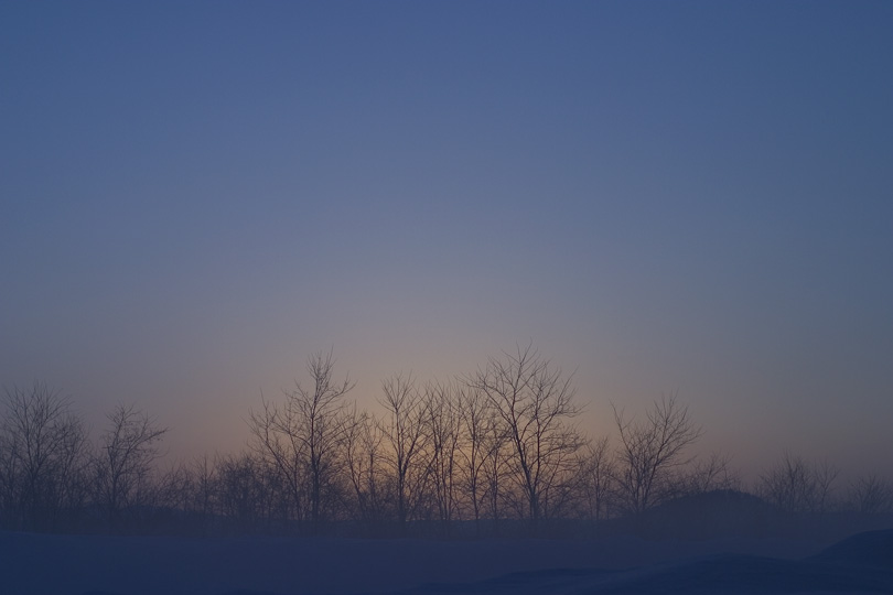
Blue #05
Upcoming !
湯沢と新庄の間の雄勝峠。雪も深いこの区間を通る度に、この区間の奥羽本線を複線電化で維持する意味あるんじゃろうか?とついつい考えてしまう…
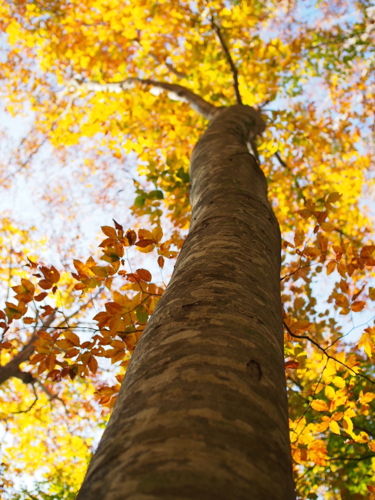
Japanese beech
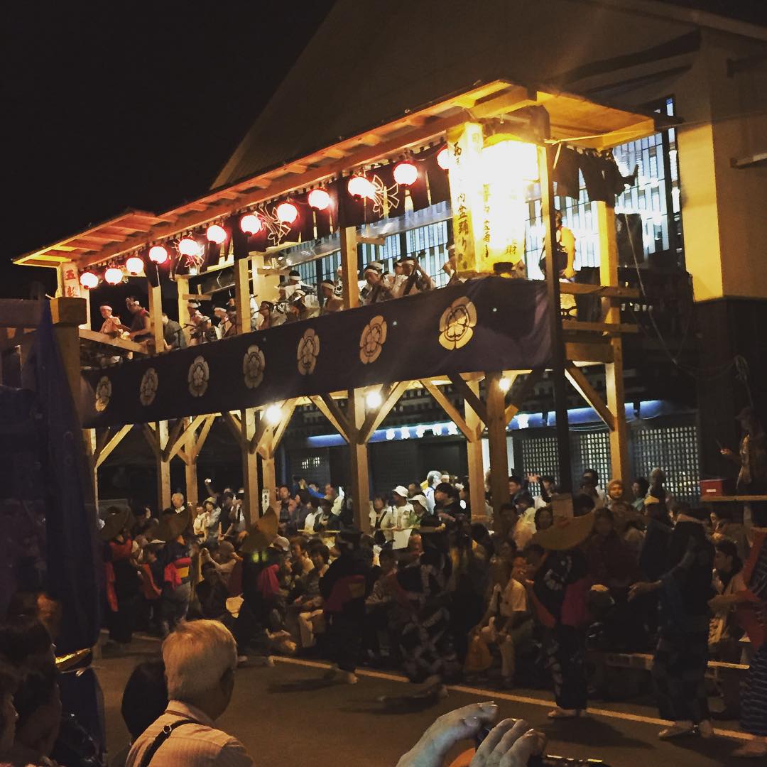
夜中まで続きます
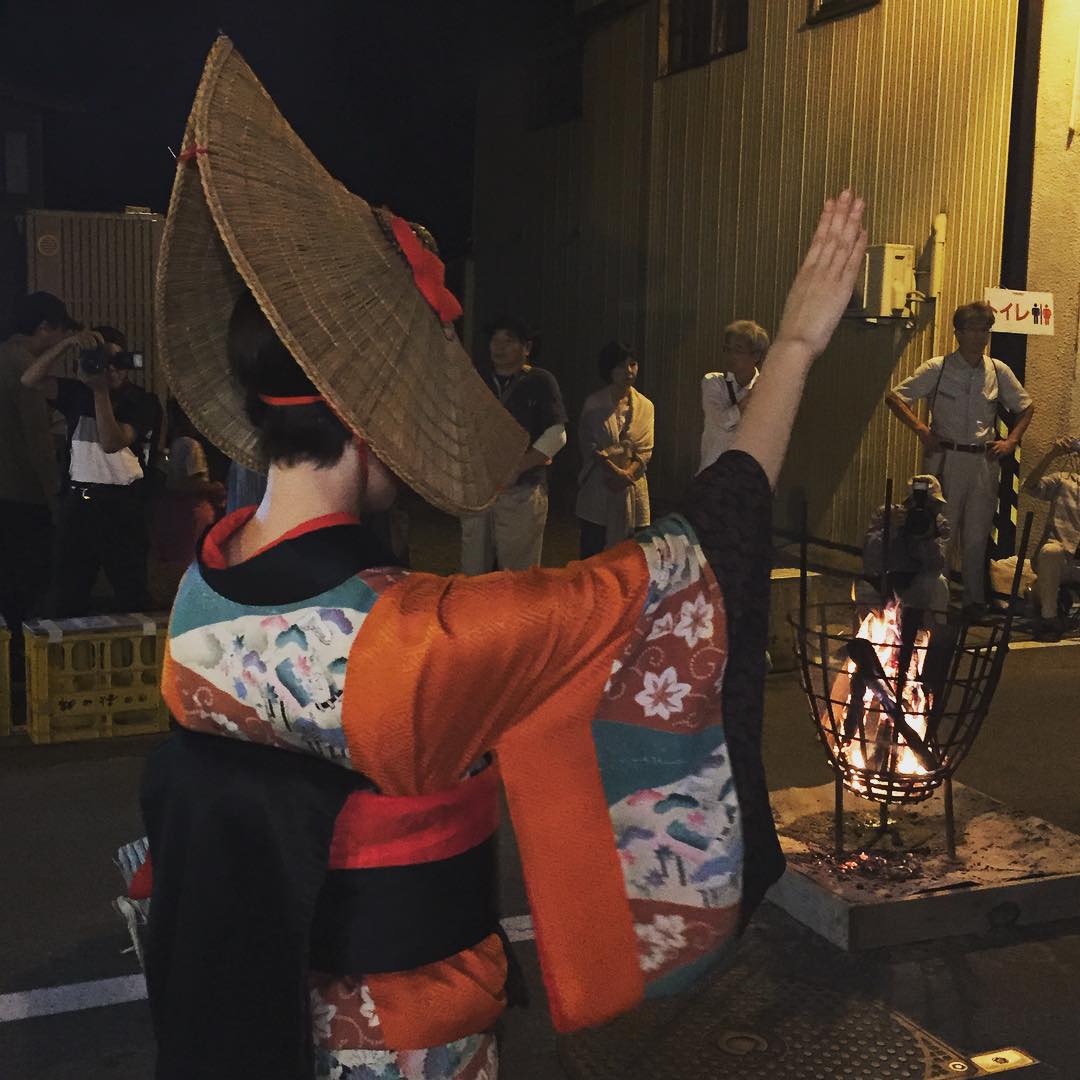
唯一見える手指、うなじから色々妄想
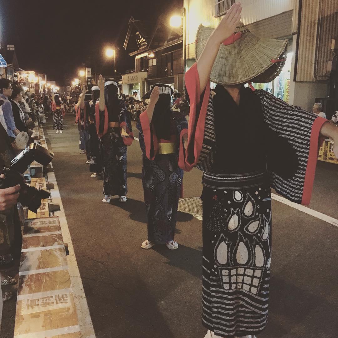
日本三大盆踊りの一つ、西馬音内の盆踊り。編み笠、頭巾で顔を隠して怪しく踊ります

ご先祖様とかき揚げそば
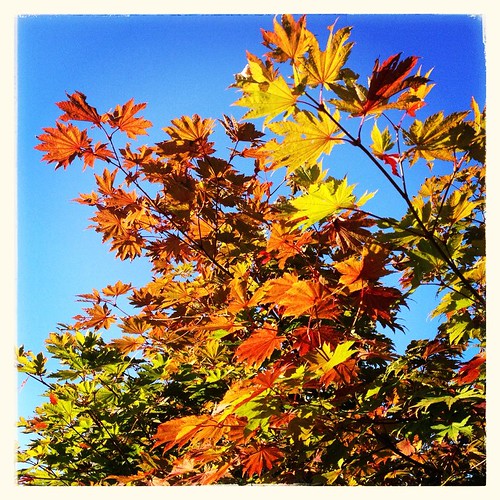
#autumn #leaf
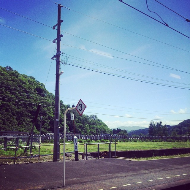
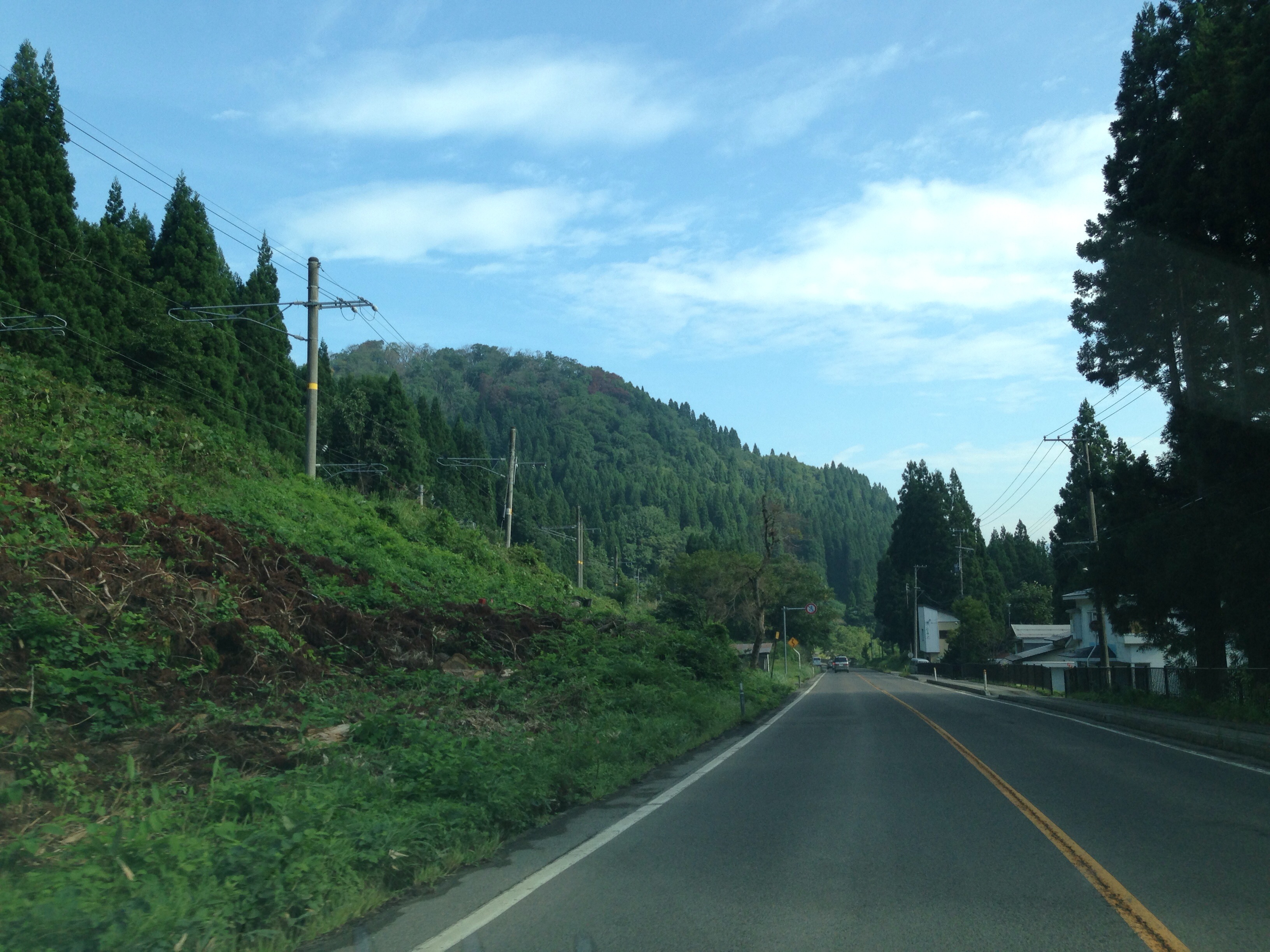
県境あたり。

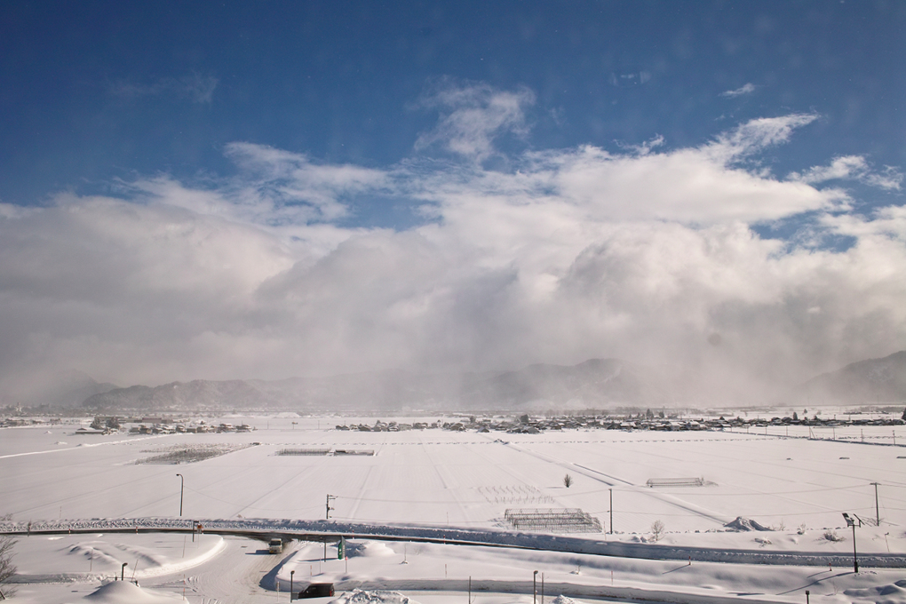
even though the cold season...

during the cold season...
130802-090747
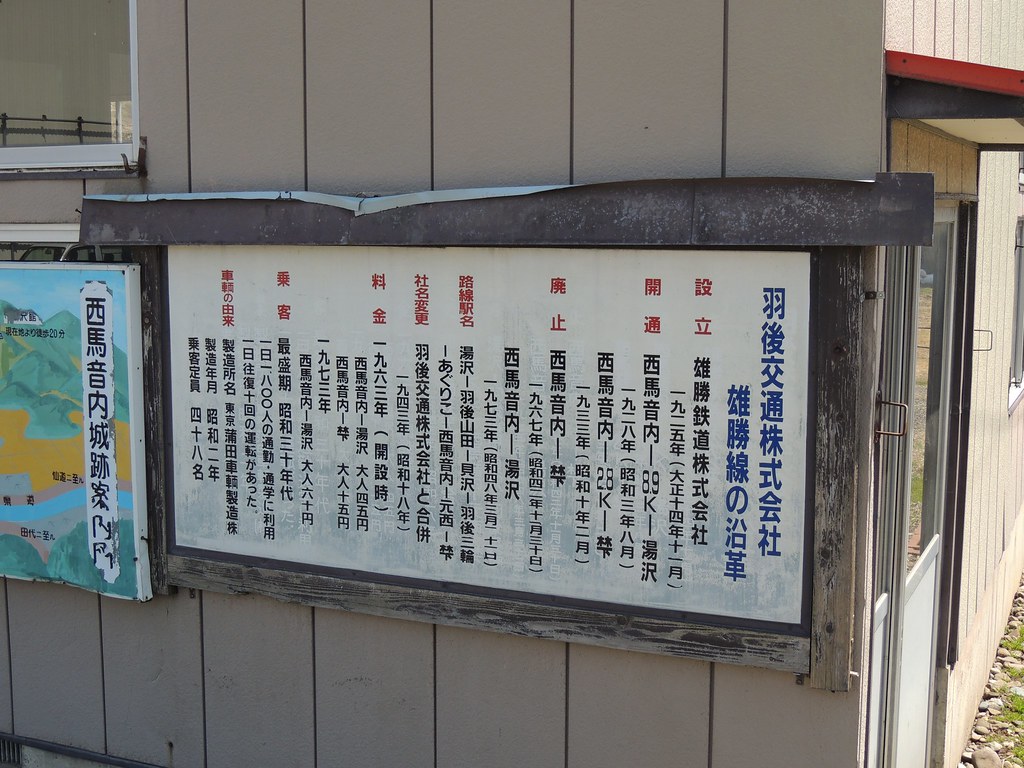
羽後交通デハ3
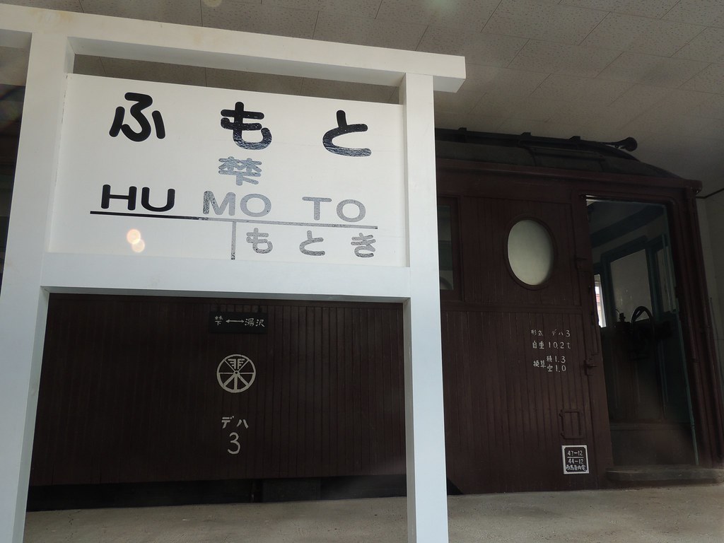
羽後交通デハ3
羽後交通デハ3

矢島の栄食堂の「栄ミックス定食」…デカい。 #akita

cherry blossoms
Topographic Map of Ichinotsubo-23-5 Chōkaimachi Shimojinego, Yurihonjō-shi, Akita-ken -, Japan
Find elevation by address:

Places near Ichinotsubo-23-5 Chōkaimachi Shimojinego, Yurihonjō-shi, Akita-ken -, Japan:
Tanaka-36 Chōkaimachi Shimojinego, Yurihonjō-shi, Akita-ken -, Japan
Nagahatano-78 Chōkaimachi Shimojinego, Yurihonjō-shi, Akita-ken -, Japan
Kamitsunagisawa-55 Kamisendō, Ugo-machi, Ogachi-gun, Akita-ken -, Japan
Baba- Chōkaimachi Kamijinego, Yurihonjō-shi, Akita-ken -, Japan
Hatatai- Chōkaimachi Kamijinego, Yurihonjō-shi, Akita-ken -, Japan
Yamagishi-78 Kamisendō, Ugo-machi, Ogachi-gun, Akita-ken -, Japan
Jōgozawa-50 Kamisendō, Ugo-machi, Ogachi-gun, Akita-ken -, Japan
Nishimata- Kamisendō, Ugo-machi, Ogachi-gun, Akita-ken -, Japan
Mizushiri-56 Nakasendō, Ugo-machi, Ogachi-gun, Akita-ken -, Japan
Shimizumi-48 Chōkaimachi Kamijinego, Yurihonjō-shi, Akita-ken -, Japan
Tōgenosawa-2 Chōkaimachi Kamijinego, Yurihonjō-shi, Akita-ken -, Japan
Ōhido-1 Chōkaimachi Kamijinego, Yurihonjō-shi, Akita-ken -, Japan
Nishinosawa-48 Tazawa, Ugo-machi, Ogachi-gun, Akita-ken -, Japan
Ogachi District
Hatchōshinmachi-17-40 Kamiinnai, Yuzawa-shi, Akita-ken -, Japan
Tayōbashi-48 Shimoinnai, Yuzawa-shi, Akita-ken -, Japan
Shinbaba-9 Shimoinnai, Yuzawa-shi, Akita-ken -, Japan
-5 Nakano, Yuzawa-shi, Akita-ken -, Japan
Yuzawa
Recent Searches:
- Elevation of Corso Fratelli Cairoli, 35, Macerata MC, Italy
- Elevation of Tallevast Rd, Sarasota, FL, USA
- Elevation of 4th St E, Sonoma, CA, USA
- Elevation of Black Hollow Rd, Pennsdale, PA, USA
- Elevation of Oakland Ave, Williamsport, PA, USA
- Elevation of Pedrógão Grande, Portugal
- Elevation of Klee Dr, Martinsburg, WV, USA
- Elevation of Via Roma, Pieranica CR, Italy
- Elevation of Tavkvetili Mountain, Georgia
- Elevation of Hartfords Bluff Cir, Mt Pleasant, SC, USA