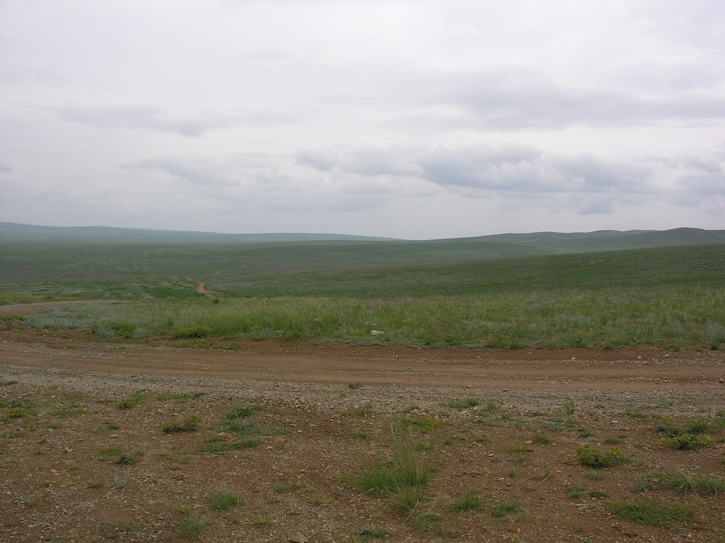
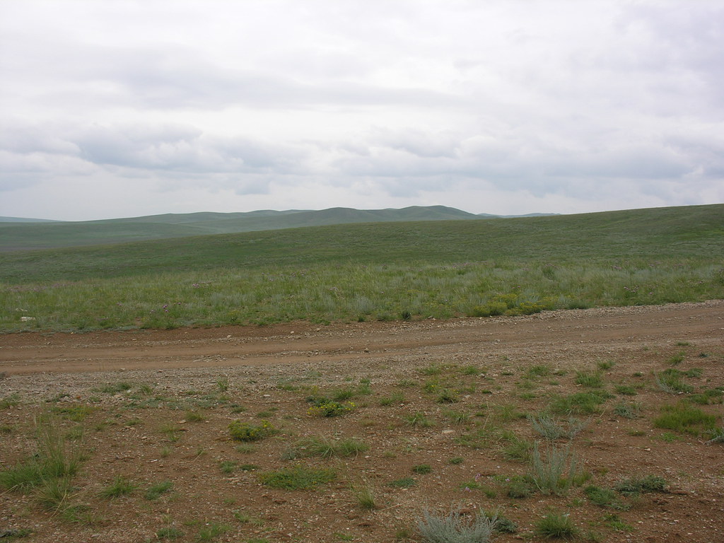
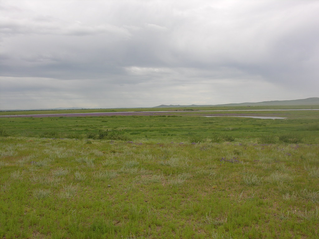
Elevation of Ugiinuur Road, Ugiinuur Rd, Zegstei, Mongolia
Location: Mongolia > Arkhangai > Ugiinuur >
Longitude: 102.538232
Latitude: 47.6638844
Elevation: 1348m / 4423feet
Barometric Pressure: 86KPa
Elevation Map:
Satellite Map:
Related Photos:

IMG_4753

DSCN3412

DSCN3407
DSCN3296

DSCN3421
DSCN3297

DSCN3403
DSCN3417

DSCN3376

DSCN3401

DSCN3394

DSCN3402

DSCN3395

DSCN3390

DSCN3374

DSCN3396

DSCN3380

DSCN3410

DSCN3373

DSCN3420

DSCN3388
Topographic Map of Ugiinuur Road, Ugiinuur Rd, Zegstei, Mongolia
Find elevation by address:

Places near Ugiinuur Road, Ugiinuur Rd, Zegstei, Mongolia:
Ugiinuur Road
Kharkhorum Museum
Батцэнгэл сум
Jargalant
Tuvshruulekh
Tavanbulag
Tovkhon Xiid
Battsengel
Altan-ovoo
Khujirt
Tsenkher Hot Spring Resort
Tsetserleg
Tsenkher
Erdenebulgan
Khangai Nuruu National Park
Recent Searches:
- Elevation of Corso Fratelli Cairoli, 35, Macerata MC, Italy
- Elevation of Tallevast Rd, Sarasota, FL, USA
- Elevation of 4th St E, Sonoma, CA, USA
- Elevation of Black Hollow Rd, Pennsdale, PA, USA
- Elevation of Oakland Ave, Williamsport, PA, USA
- Elevation of Pedrógão Grande, Portugal
- Elevation of Klee Dr, Martinsburg, WV, USA
- Elevation of Via Roma, Pieranica CR, Italy
- Elevation of Tavkvetili Mountain, Georgia
- Elevation of Hartfords Bluff Cir, Mt Pleasant, SC, USA