Elevation of Ugiinuur, Mongolia
Location: Mongolia > Arkhangai >
Longitude: 102.764594
Latitude: 47.6459635
Elevation: 1372m / 4501feet
Barometric Pressure: 86KPa
Elevation Map:
Satellite Map:
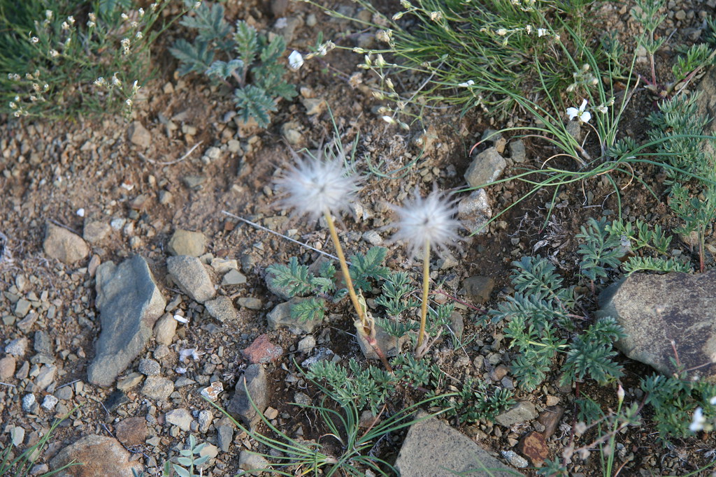
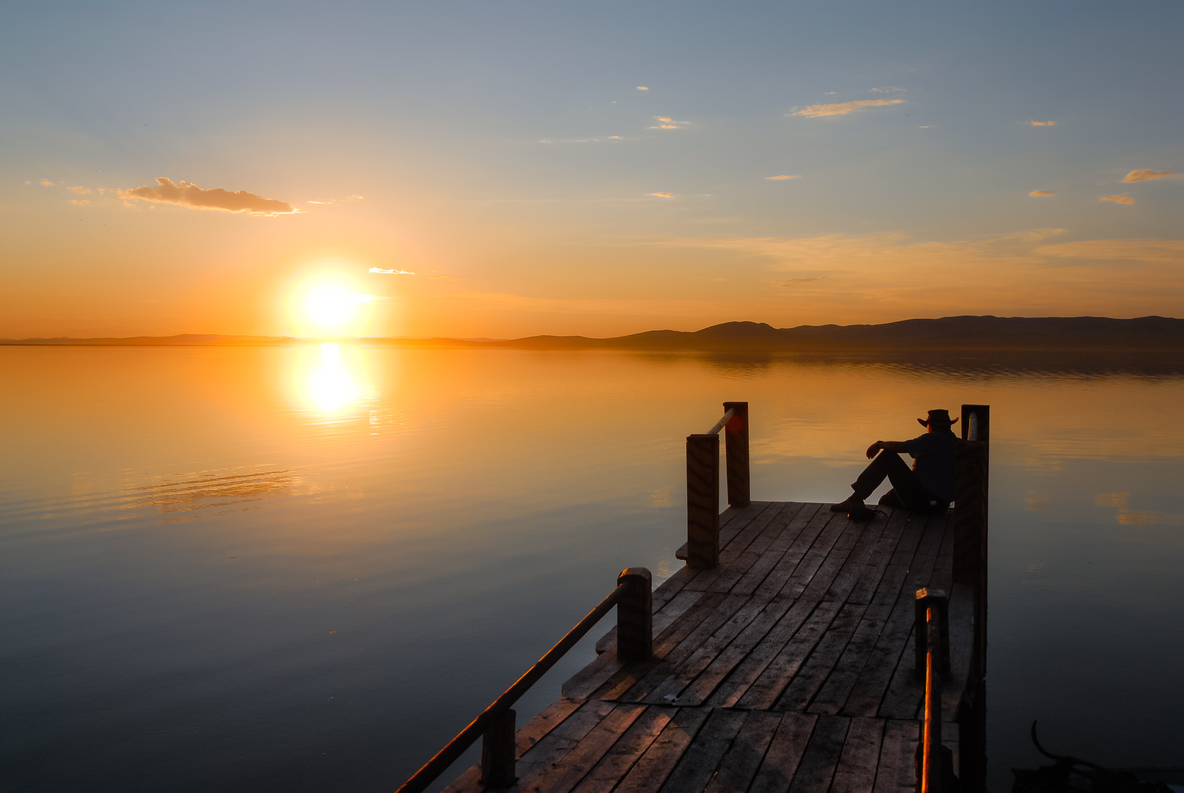
Related Photos:

IMG_4718

IMG_4702

IMG_4703

IMG_4733

IMG_4707

IMG_4696

IMG_4721

IMG_4697

IMG_4695

IMG_4704

IMG_4715

IMG_4732

IMG_4706

IMG_4705

IMG_4727

IMG_4735

IMG_4729
IMG_4734

IMG_4720

IMG_4726

IMG_4731

Pastel Sunset

Camping by the lake

Sunset rays

Ogii Nuur in Mongolia
Sonnenuntergang am Ogii Nuur See in der Mongolei

Emerald green

Cloudy all around

Ugii lake

Ger by a lake

Parking spot

Elaborate door

The team at dinner

Nearly frozen

Ground squirrel

Landscape near Ogii Nuur

Ogii Nuur

Sunset at Ongii Nuur

Ogii Nuur

Ogii Nuur

Ogii Nuur

Ogii Nuur
Topographic Map of Ugiinuur, Mongolia
Find elevation by address:

Places in Ugiinuur, Mongolia:
Places near Ugiinuur, Mongolia:
Ögii Lake
Orkhon Valley Natural And Historical Reserve
Erdene Zuu Monastery
Kharkhorin
Kharkhorin
Khujirt
Bayan Gobi
Zuunbayan-ulaan
Shireet Tsagaan Lake
Rashaant
Mongolia
Recent Searches:
- Elevation of Corso Fratelli Cairoli, 35, Macerata MC, Italy
- Elevation of Tallevast Rd, Sarasota, FL, USA
- Elevation of 4th St E, Sonoma, CA, USA
- Elevation of Black Hollow Rd, Pennsdale, PA, USA
- Elevation of Oakland Ave, Williamsport, PA, USA
- Elevation of Pedrógão Grande, Portugal
- Elevation of Klee Dr, Martinsburg, WV, USA
- Elevation of Via Roma, Pieranica CR, Italy
- Elevation of Tavkvetili Mountain, Georgia
- Elevation of Hartfords Bluff Cir, Mt Pleasant, SC, USA