Elevation of U Thong District, Suphan Buri, Thailand
Location: Thailand > Suphan Buri >
Longitude: 99.8794744
Latitude: 14.4275539
Elevation: 18m / 59feet
Barometric Pressure: 101KPa
Elevation Map:
Satellite Map:
Related Photos:


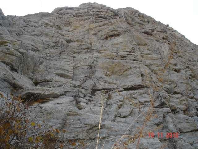
Uthong5311no142
Uthong5311no153

Uthong5311no146

Uthong5311no141


Uthong5311no152

Uthong5311no053

Uthong5311no131

Uthong5311no111

Uthong5311no054

Uthong5311no023

Uthong5311no151

Uthong5319no149

Uthong5311no099

Uthong5311no109

Uthong5311no025

Uthong5311no082

Uthong5319no148

Uthong5311no033

Uthong5311no154
Topographic Map of U Thong District, Suphan Buri, Thailand
Find elevation by address:

Places in U Thong District, Suphan Buri, Thailand:
Places near U Thong District, Suphan Buri, Thailand:
Suphan Buri Provincial Land Office
ที่ว่าการอำเภออู่ทอง
U Thong
Phatthana Kan Chang Don Chedi
Suphan Buri
Don Chedi District
Thung Khok
Song Phi Nong District
Unnamed Road
Sam Chuk District
Bangsai Country Club
Ayutthaya Historical Park
Phra Nakhon Si Ayutthaya District
Pratuchai
Phra Nakhon Si Ayutthaya
Mueang Sing Buri District
Sing Buri
Rachakram Golf Club
Royal Bang Pa-in Golf Club
Phra Nakhon Si Ayutthaya
Recent Searches:
- Elevation of Corso Fratelli Cairoli, 35, Macerata MC, Italy
- Elevation of Tallevast Rd, Sarasota, FL, USA
- Elevation of 4th St E, Sonoma, CA, USA
- Elevation of Black Hollow Rd, Pennsdale, PA, USA
- Elevation of Oakland Ave, Williamsport, PA, USA
- Elevation of Pedrógão Grande, Portugal
- Elevation of Klee Dr, Martinsburg, WV, USA
- Elevation of Via Roma, Pieranica CR, Italy
- Elevation of Tavkvetili Mountain, Georgia
- Elevation of Hartfords Bluff Cir, Mt Pleasant, SC, USA