Elevation of Suphan Buri Provincial Land Office, /15 Malaiman Rd, Tambon U Thong, Amphoe U Thong, Chang Wat Suphan Buri, Thailand
Location: Thailand > Suphan Buri > U Thong District > U Thong >
Longitude: 99.893131
Latitude: 14.377138
Elevation: 15m / 49feet
Barometric Pressure: 101KPa
Elevation Map:
Satellite Map:
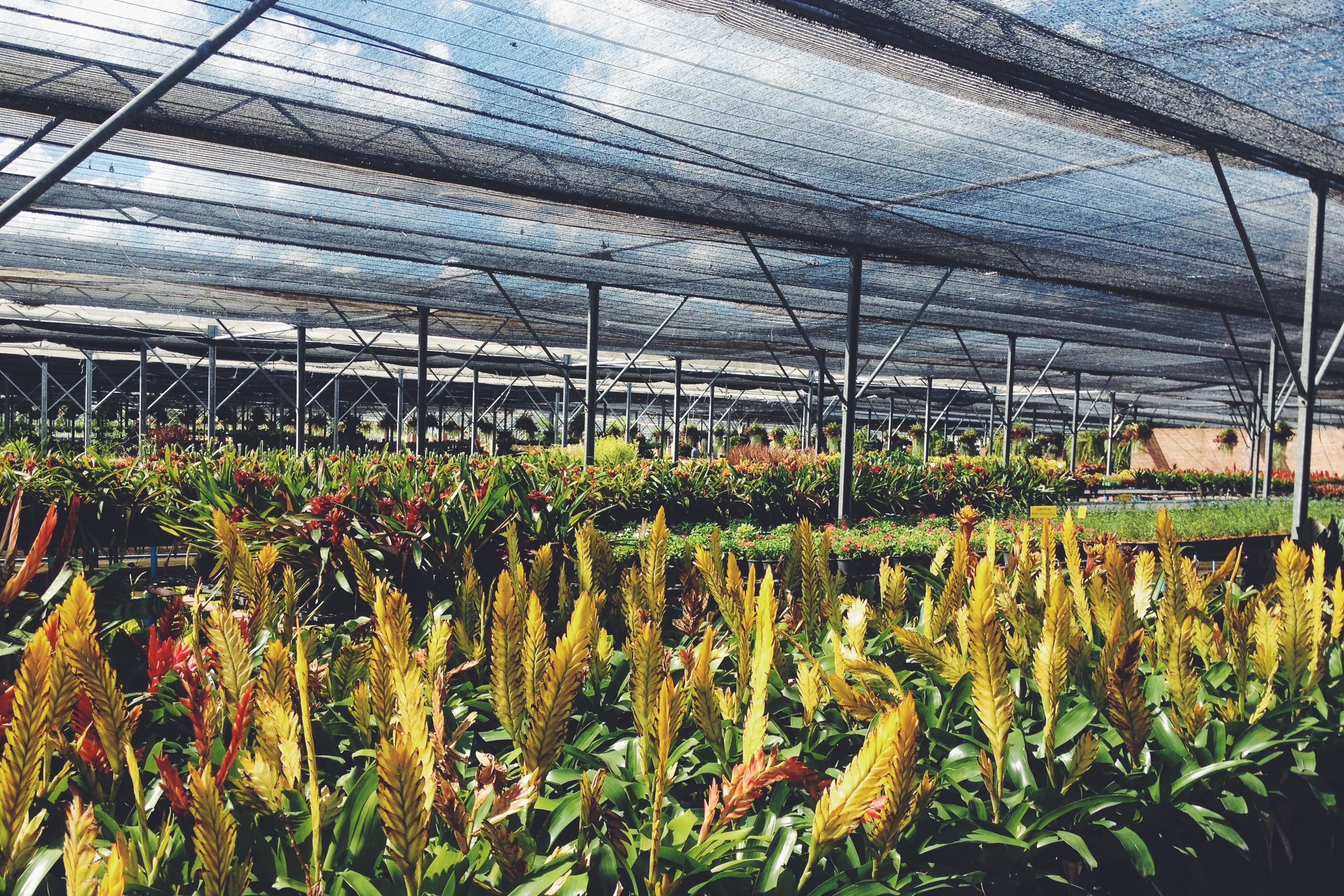
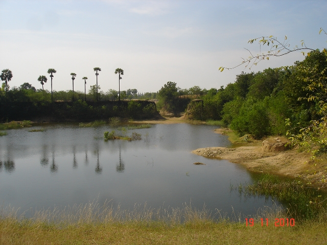
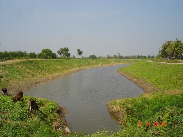
Related Photos:
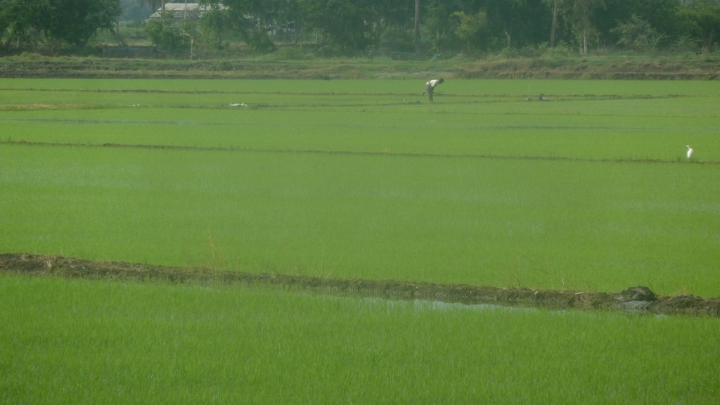
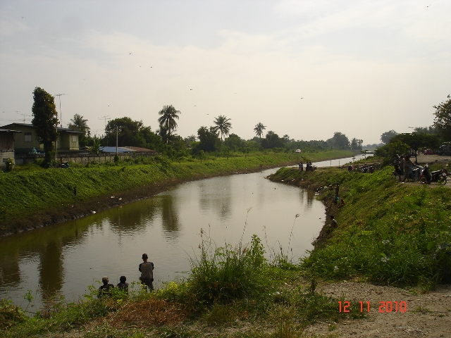
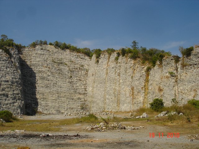
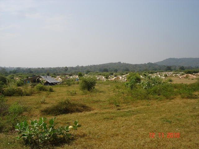
Uthong5311no142
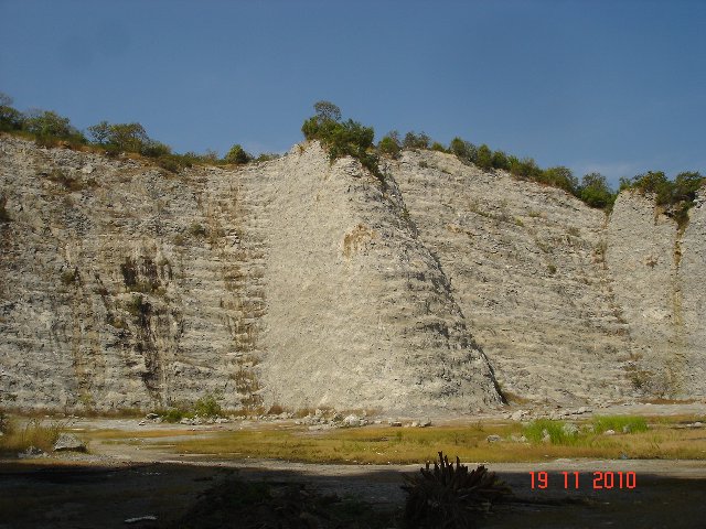
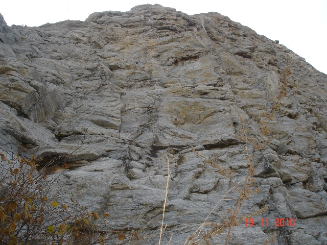
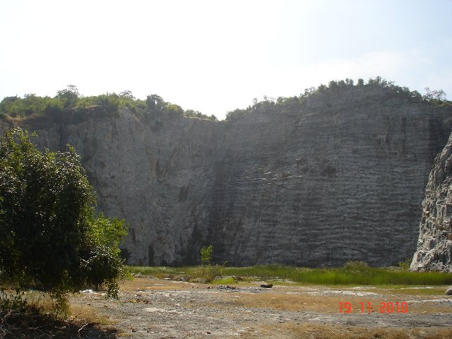
Uthong5311no082
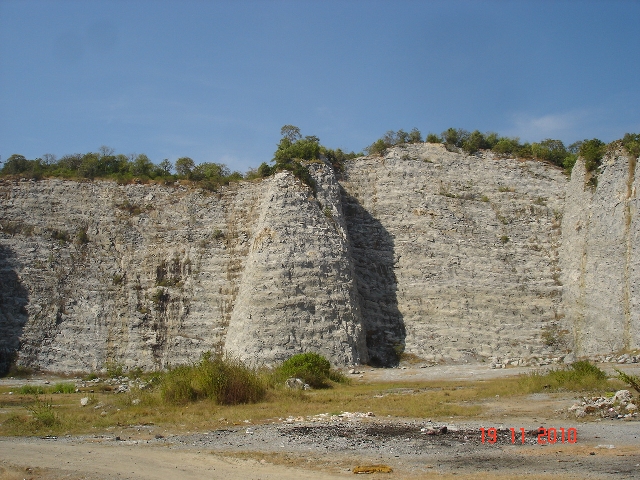
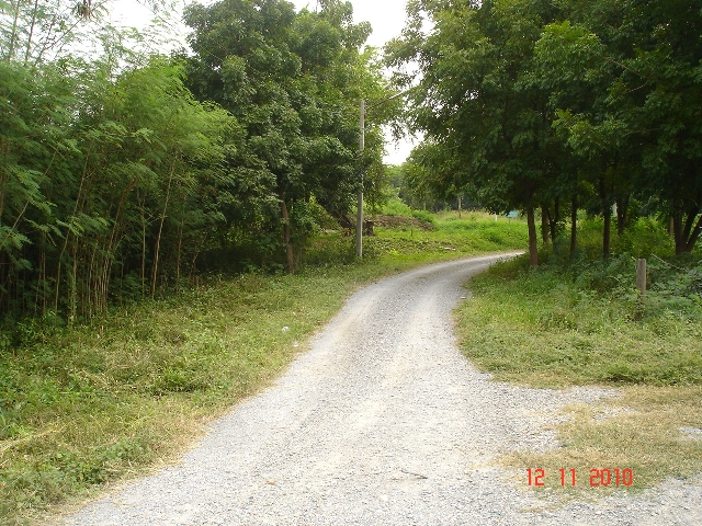
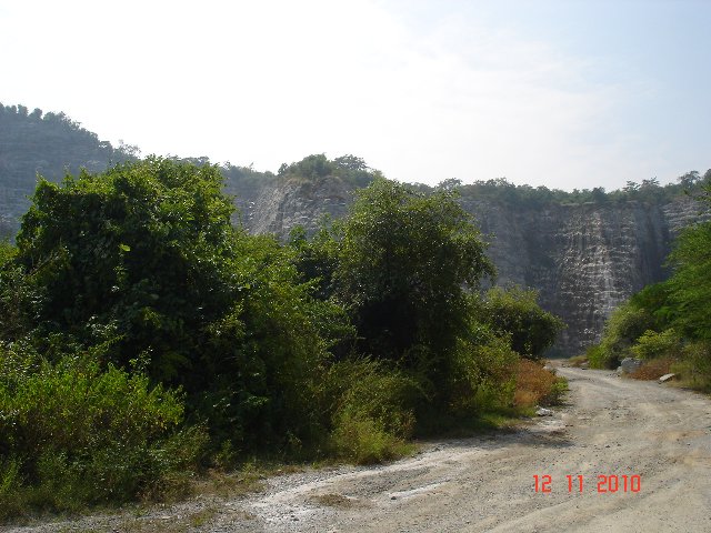
Uthong5311no111
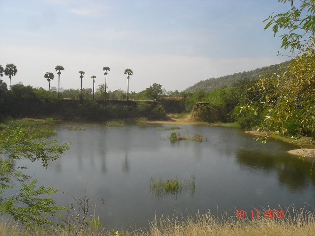
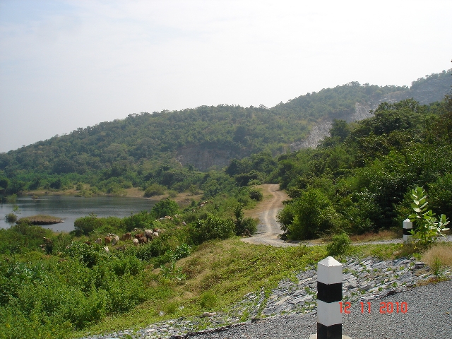
Uthong5319no154

Uthong5311no099
Uthong5311no151

Uthong5319no151
Uthong5311no141

Uthong5311no152
Uthong5319no152
Uthong5311no153
Uthong5311no135
Uthong5311no033
Uthong5311no053

Uthong5311no131
Uthong5319no148
Uthong5311no025

Uthong5311no025
Topographic Map of Suphan Buri Provincial Land Office, /15 Malaiman Rd, Tambon U Thong, Amphoe U Thong, Chang Wat Suphan Buri, Thailand
Find elevation by address:

Places near Suphan Buri Provincial Land Office, /15 Malaiman Rd, Tambon U Thong, Amphoe U Thong, Chang Wat Suphan Buri, Thailand:
ที่ว่าการอำเภออู่ทอง
U Thong
U Thong District
Thung Khok
Song Phi Nong District
Suphan Buri
Phatthana Kan Chang Don Chedi
Don Chedi District
Unnamed Road
Sam Chuk District
Bangsai Country Club
Phra Nakhon Si Ayutthaya District
Ayutthaya Historical Park
Rachakram Golf Club
Pratuchai
Phra Nakhon Si Ayutthaya
Royal Bang Pa-in Golf Club
Phra Nakhon Si Ayutthaya
Mueang Sing Buri District
Sing Buri
Recent Searches:
- Elevation of Elwyn Dr, Roanoke Rapids, NC, USA
- Elevation of Congressional Dr, Stevensville, MD, USA
- Elevation of Bellview Rd, McLean, VA, USA
- Elevation of Stage Island Rd, Chatham, MA, USA
- Elevation of Shibuya Scramble Crossing, 21 Udagawacho, Shibuya City, Tokyo -, Japan
- Elevation of Jadagoniai, Kaunas District Municipality, Lithuania
- Elevation of Pagonija rock, Kranto 7-oji g. 8"N, Kaunas, Lithuania
- Elevation of Co Rd 87, Jamestown, CO, USA
- Elevation of Tenjo, Cundinamarca, Colombia
- Elevation of Côte-des-Neiges, Montreal, QC H4A 3J6, Canada