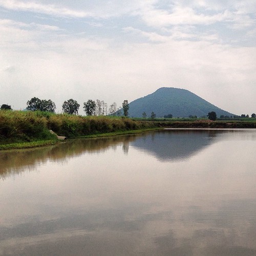
Elevation of Thung Khok, Song Phi Nong District, Suphan Buri, Thailand
Location: Thailand > Suphan Buri > Song Phi Nong District >
Longitude: 99.9353318
Latitude: 14.1837846
Elevation: 12m / 39feet
Barometric Pressure: 101KPa
Related Photos:
Topographic Map of Thung Khok, Song Phi Nong District, Suphan Buri, Thailand
Find elevation by address:

Places near Thung Khok, Song Phi Nong District, Suphan Buri, Thailand:
Song Phi Nong District
Unnamed Road
U Thong
ที่ว่าการอำเภออู่ทอง
Suphan Buri Provincial Land Office
U Thong District
Suphan Buri
Phatthana Kan Chang Don Chedi
Don Chedi District
Bangsai Country Club
Sam Chuk District
Rachakram Golf Club
Royal Bang Pa-in Golf Club
Phra Nakhon Si Ayutthaya District
Pratuchai
Ayutthaya Historical Park
4h9m+9x
Phra Nakhon Si Ayutthaya
Lixil-tostem Thai Co.ltd (south Factory)
4hcv+h4
Recent Searches:
- Elevation of Corso Fratelli Cairoli, 35, Macerata MC, Italy
- Elevation of Tallevast Rd, Sarasota, FL, USA
- Elevation of 4th St E, Sonoma, CA, USA
- Elevation of Black Hollow Rd, Pennsdale, PA, USA
- Elevation of Oakland Ave, Williamsport, PA, USA
- Elevation of Pedrógão Grande, Portugal
- Elevation of Klee Dr, Martinsburg, WV, USA
- Elevation of Via Roma, Pieranica CR, Italy
- Elevation of Tavkvetili Mountain, Georgia
- Elevation of Hartfords Bluff Cir, Mt Pleasant, SC, USA


