Elevation of U.S. 14, US-14, United States
| Latitude | 44.3705973 |
|---|---|
| Longitude | -98.4591633 |
| Elevation | 406m / 1332feet |
| Barometric Pressure | 965KPa |
Related Photos:
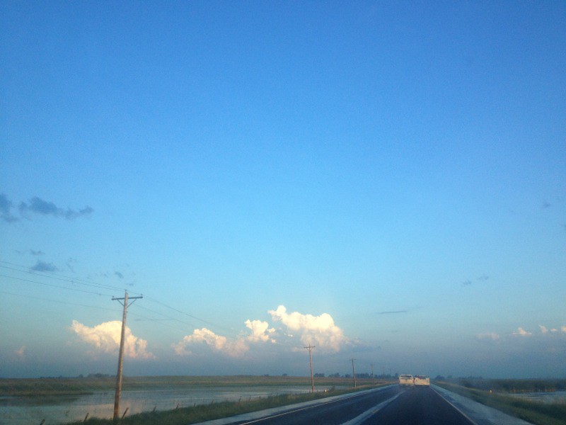
IMG_1792.JPG

RCPE 3431 - Beadle, SD

Della and Daddy dinner time!

Della and Daddy date night. Della is being silly, as usual!

Enjoying Some Cocoa

Enjoying Some Cocoa

The Digital Planetarium
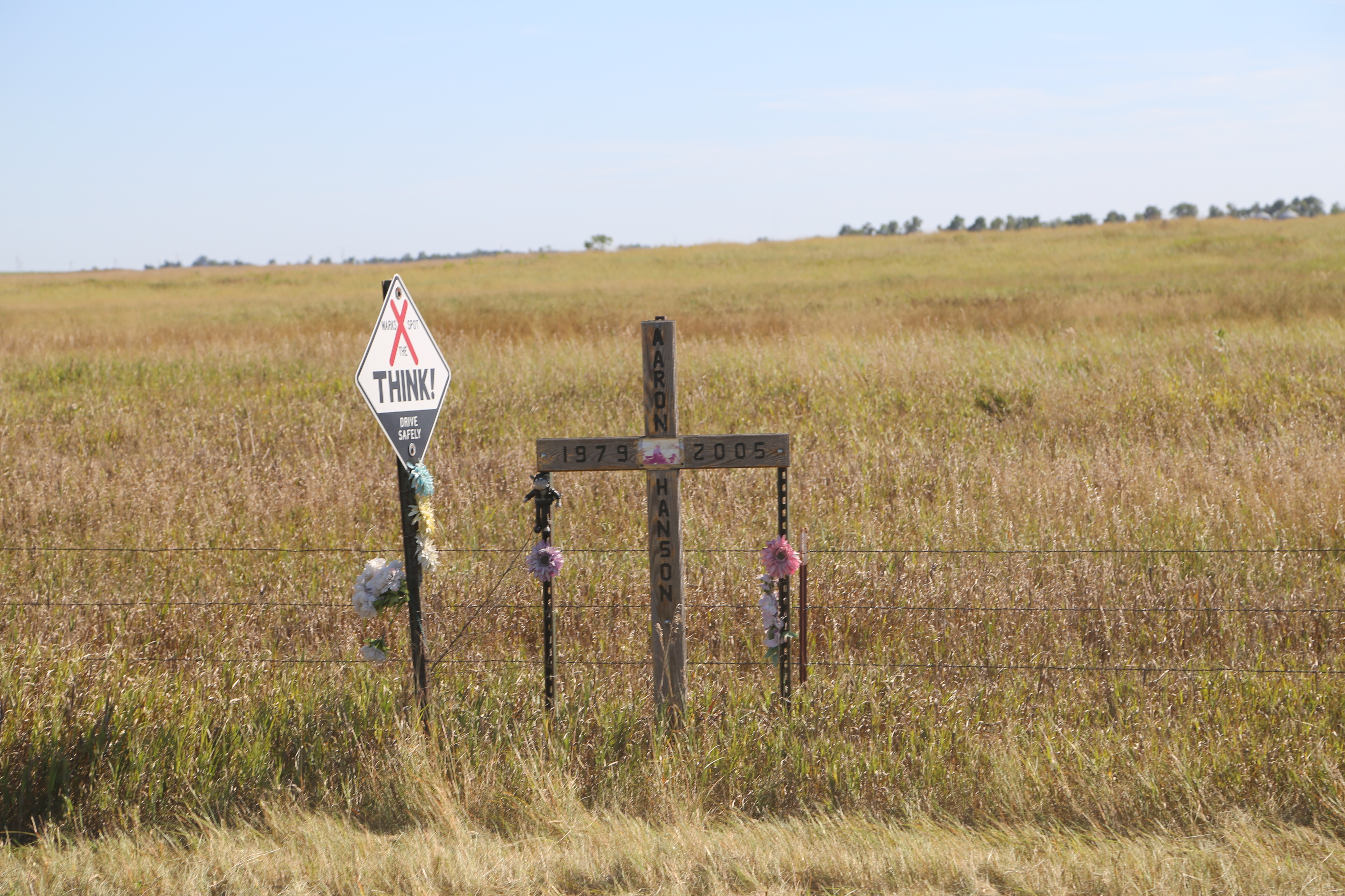
Roadside Memorial, SD Rt 14, Beadle Co SD
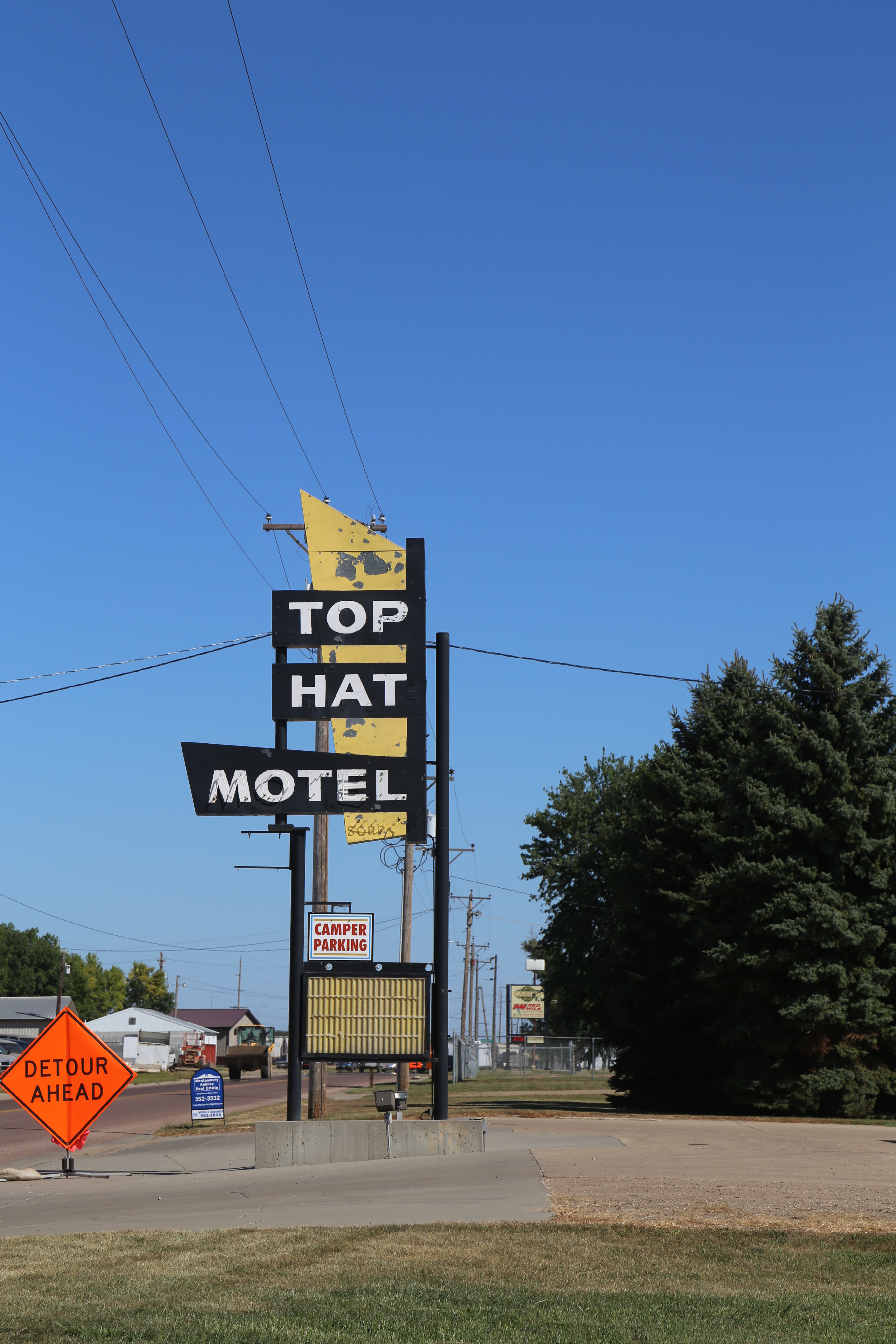
Huron South Dakota, Beadle County SD

Shorebird Sandpiper Solitary

Shorebird Sandpiper Solitary003
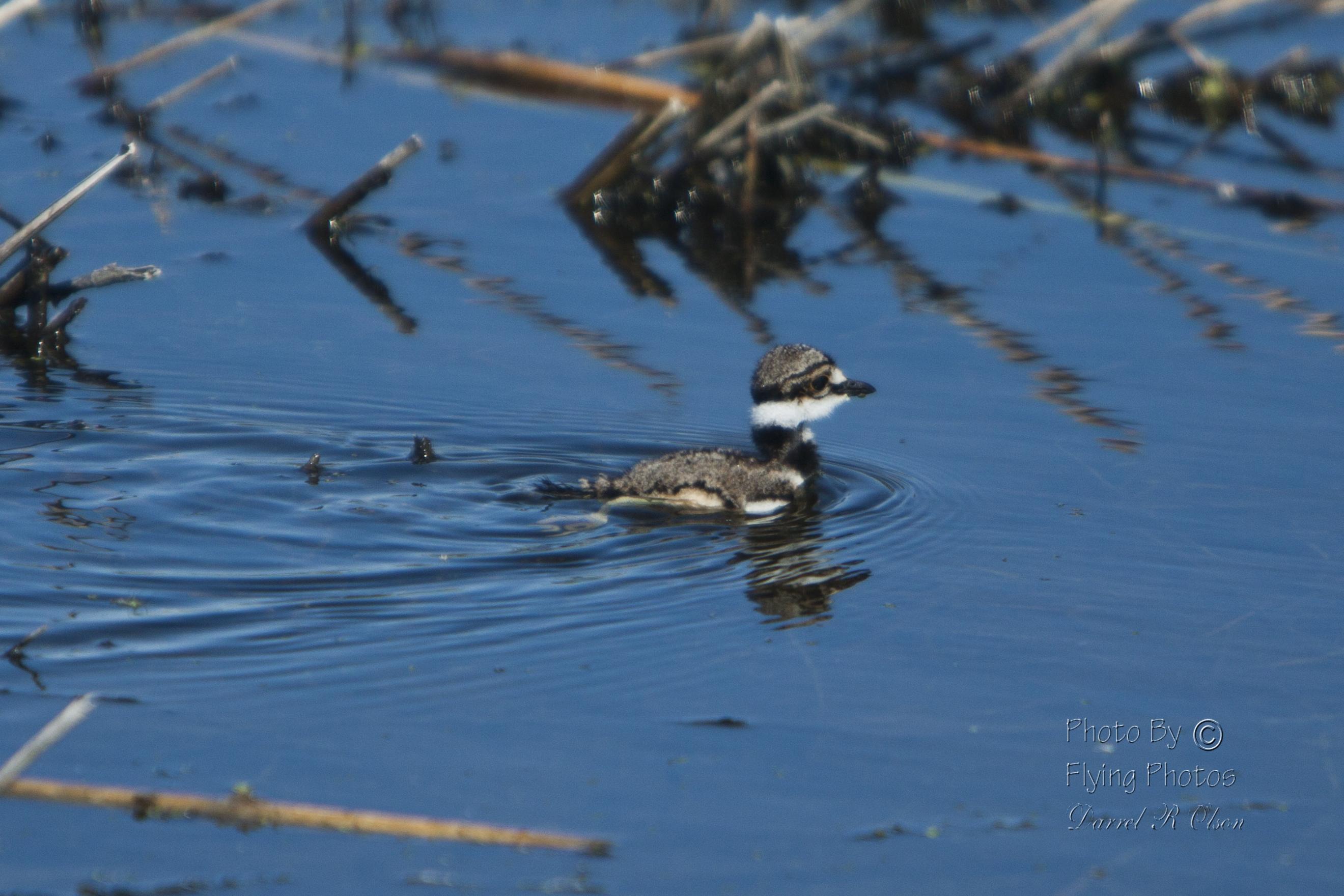
Shorebird Plover Killdeer Chicks
Shorebird Plover Killdeer001

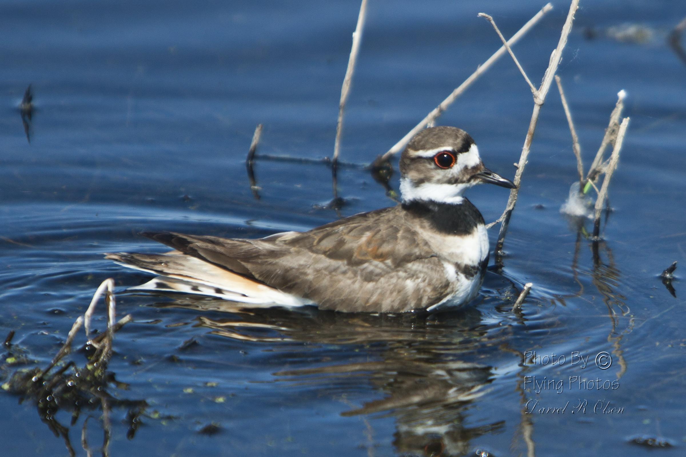
Shorebird Plover Killdeer002

Shorebird Plover Killdeer003

Prairie Rails
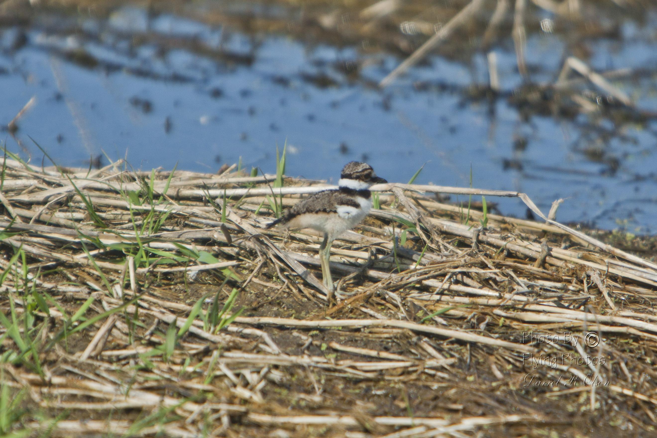
Shorebird Plover Killdeer Chicks

Deer007 (2)
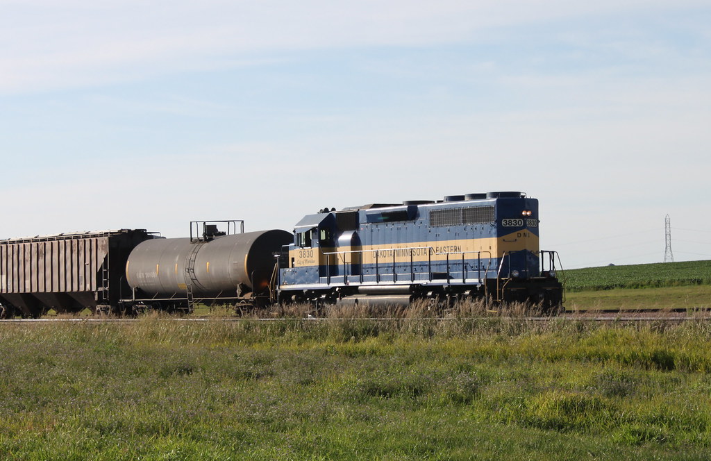
DM&E 3830 at Wolsey, SD
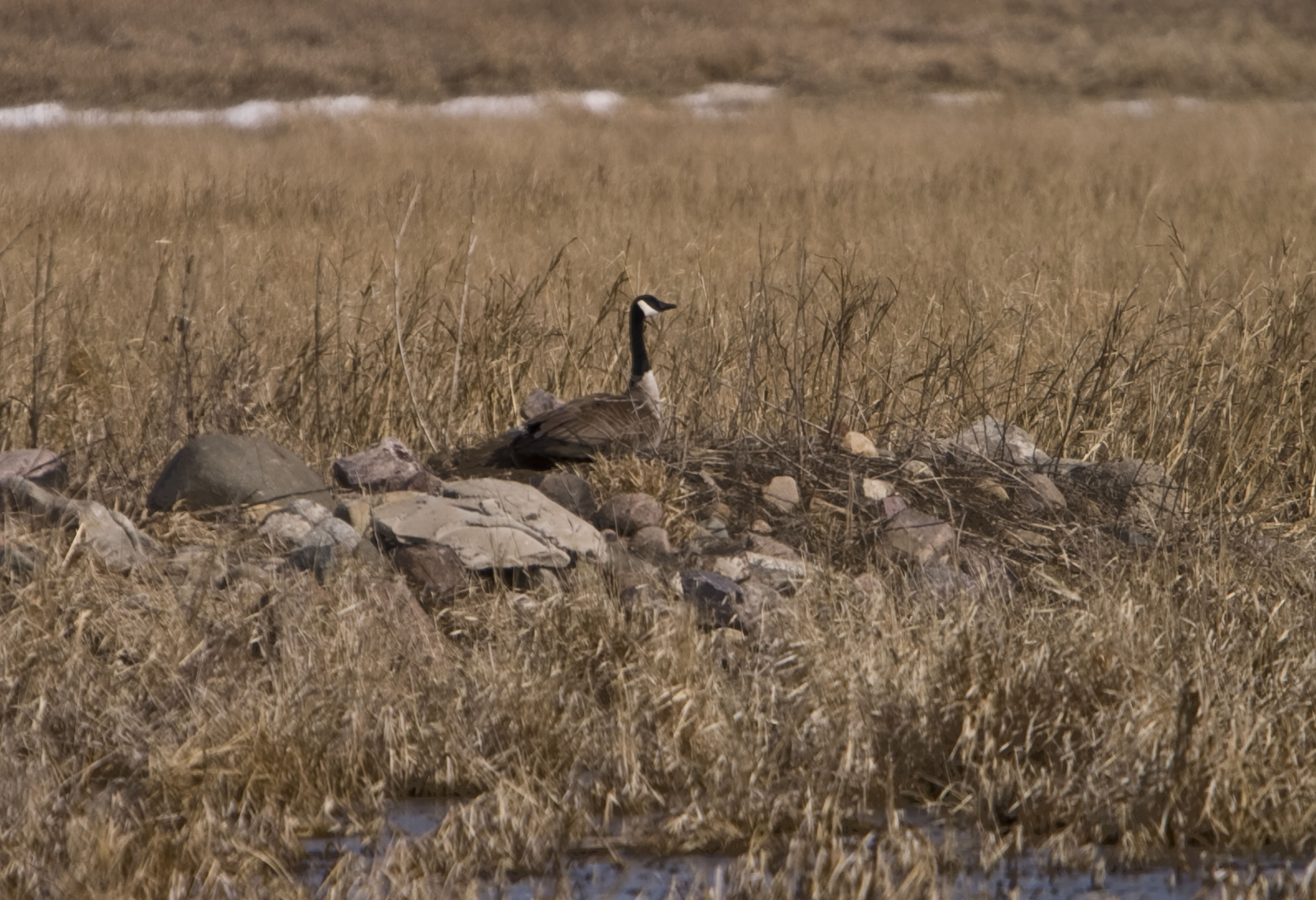
Goose Canada Common

Ibis White-faced
Topographic Map of U.S. 14, US-14, United States
Find elevation by address:
Places near U.S. 14, US-14, United States:
Vernon Township
Wessington
160 Sutherland St W
160 Sutherland St W
Wessington Springs
Jerauld County
210 E 7th Ave
Redfield
Plankinton
Aurora County
Eureka Township
th Ave, Plankinton, SD, USA
Kimball
Brule County
Chamberlain
Oacoma
N Main Ave, Reliance, SD, USA
Reliance
Hughes County
Lyman County
Recent Searches:
- Elevation of 104, Chancery Road, Middletown Township, Bucks County, Pennsylvania, 19047, USA
- Elevation of 1212, Cypress Lane, Dayton, Liberty County, Texas, 77535, USA
- Elevation map of Central Hungary, Hungary
- Elevation map of Pest, Central Hungary, Hungary
- Elevation of Pilisszentkereszt, Pest, Central Hungary, Hungary
- Elevation of Dharamkot Tahsil, Punjab, India
- Elevation of Bhinder Khurd, Dharamkot Tahsil, Punjab, India
- Elevation of 2881, Chabot Drive, San Bruno, San Mateo County, California, 94066, USA
- Elevation of 10370, West 107th Circle, Westminster, Jefferson County, Colorado, 80021, USA
- Elevation of 611, Roman Road, Old Ford, Bow, London, England, E3 2RW, United Kingdom
- Elevation of 116, Beartown Road, Underhill, Chittenden County, Vermont, 05489, USA
- Elevation of Window Rock, Colfax County, New Mexico, 87714, USA
- Elevation of 4807, Rosecroft Street, Kempsville Gardens, Virginia Beach, Virginia, 23464, USA
- Elevation map of Matawinie, Quebec, Canada
- Elevation of Sainte-Émélie-de-l'Énergie, Matawinie, Quebec, Canada
- Elevation of Rue du Pont, Sainte-Émélie-de-l'Énergie, Matawinie, Quebec, J0K2K0, Canada
- Elevation of 8, Rue de Bécancour, Blainville, Thérèse-De Blainville, Quebec, J7B1N2, Canada
- Elevation of Wilmot Court North, 163, University Avenue West, Northdale, Waterloo, Region of Waterloo, Ontario, N2L6B6, Canada
- Elevation map of Panamá Province, Panama
- Elevation of Balboa, Panamá Province, Panama