Elevation of Hughes County, SD, USA
Location: United States > South Dakota >
Longitude: -99.8124935
Latitude: 44.3535022
Elevation: 526m / 1726feet
Barometric Pressure: 0KPa
Related Photos:
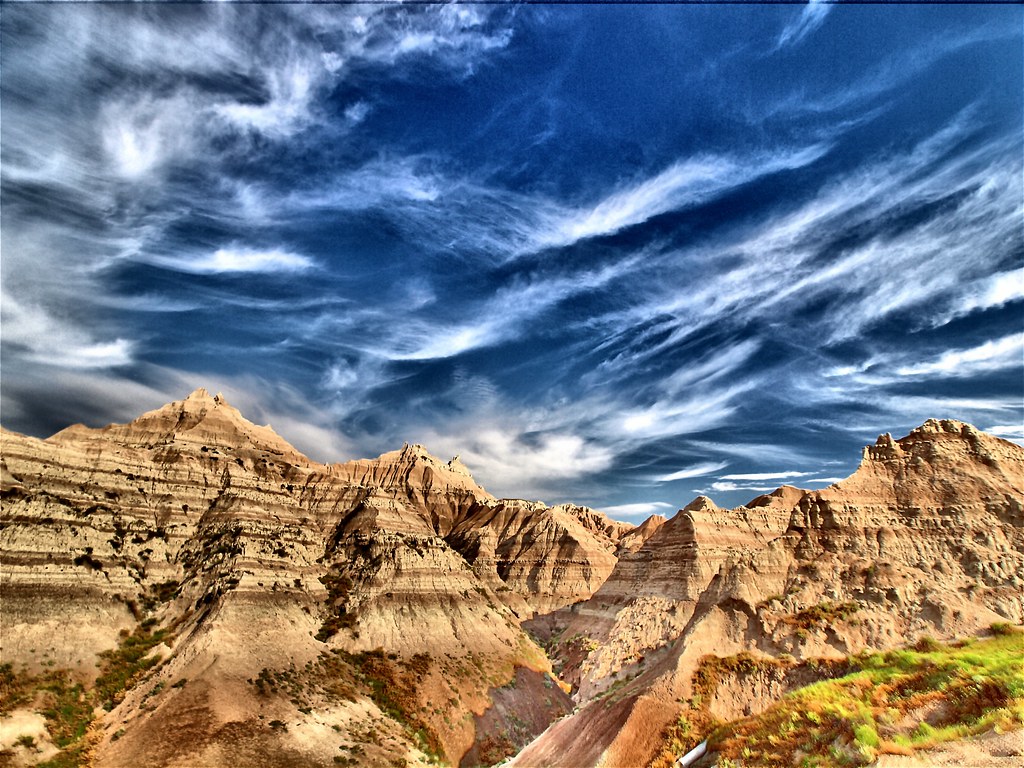
Badlands National Park

Tim Jaycee
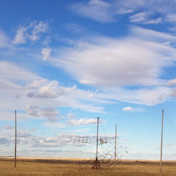
Experimental South Dakota windmill - didn't work so well...
Topographic Map of Hughes County, SD, USA
Find elevation by address:

Places in Hughes County, SD, USA:
Places near Hughes County, SD, USA:
Dorman Township
Lyman County
N Main Ave, Reliance, SD, USA
Reliance
Oacoma
Chamberlain
Brule County
Kimball
Wessington
160 Sutherland St W
160 Sutherland St W
Jerauld County
Wessington Springs
Vernon Township
Eureka Township
U.s. 14
th Ave, Plankinton, SD, USA
Redfield
210 E 7th Ave
Aurora County
Recent Searches:
- Elevation of 116, Beartown Road, Underhill, Chittenden County, Vermont, 05489, USA
- Elevation of Window Rock, Colfax County, New Mexico, 87714, USA
- Elevation of 4807, Rosecroft Street, Kempsville Gardens, Virginia Beach, Virginia, 23464, USA
- Elevation map of Matawinie, Quebec, Canada
- Elevation of Sainte-Émélie-de-l'Énergie, Matawinie, Quebec, Canada
- Elevation of Rue du Pont, Sainte-Émélie-de-l'Énergie, Matawinie, Quebec, J0K2K0, Canada
- Elevation of 8, Rue de Bécancour, Blainville, Thérèse-De Blainville, Quebec, J7B1N2, Canada
- Elevation of Wilmot Court North, 163, University Avenue West, Northdale, Waterloo, Region of Waterloo, Ontario, N2L6B6, Canada
- Elevation map of Panamá Province, Panama
- Elevation of Balboa, Panamá Province, Panama
- Elevation of San Miguel, Balboa, Panamá Province, Panama
- Elevation of Isla Gibraleón, San Miguel, Balboa, Panamá Province, Panama
- Elevation of 4655, Krischke Road, Schulenburg, Fayette County, Texas, 78956, USA
- Elevation of Carnegie Avenue, Downtown Cleveland, Cleveland, Cuyahoga County, Ohio, 44115, USA
- Elevation of Walhonding, Coshocton County, Ohio, USA
- Elevation of Clifton Down, Clifton, Bristol, City of Bristol, England, BS8 3HU, United Kingdom
- Elevation map of Auvergne-Rhône-Alpes, France
- Elevation map of Upper Savoy, Auvergne-Rhône-Alpes, France
- Elevation of Chamonix-Mont-Blanc, Upper Savoy, Auvergne-Rhône-Alpes, France
- Elevation of 908, Northwood Drive, Bridge Field, Chesapeake, Virginia, 23322, USA