Elevation of Tylers Cove Is, Crisfield, MD, USA
Location: United States > Maryland > Somerset County > 12, Asbury >
Longitude: -75.855191
Latitude: 37.936136
Elevation: 0m / 0feet
Barometric Pressure: 101KPa
Elevation Map:
Satellite Map:
Related Photos:
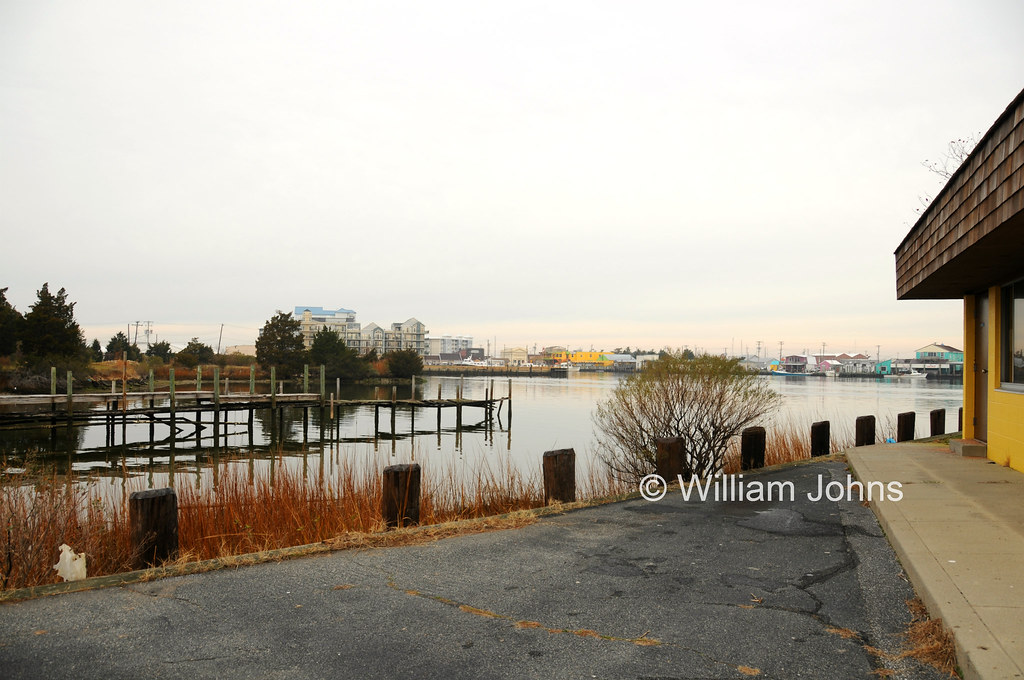
The Changing Face of Crisfield

Gull's eye view of Crisfield
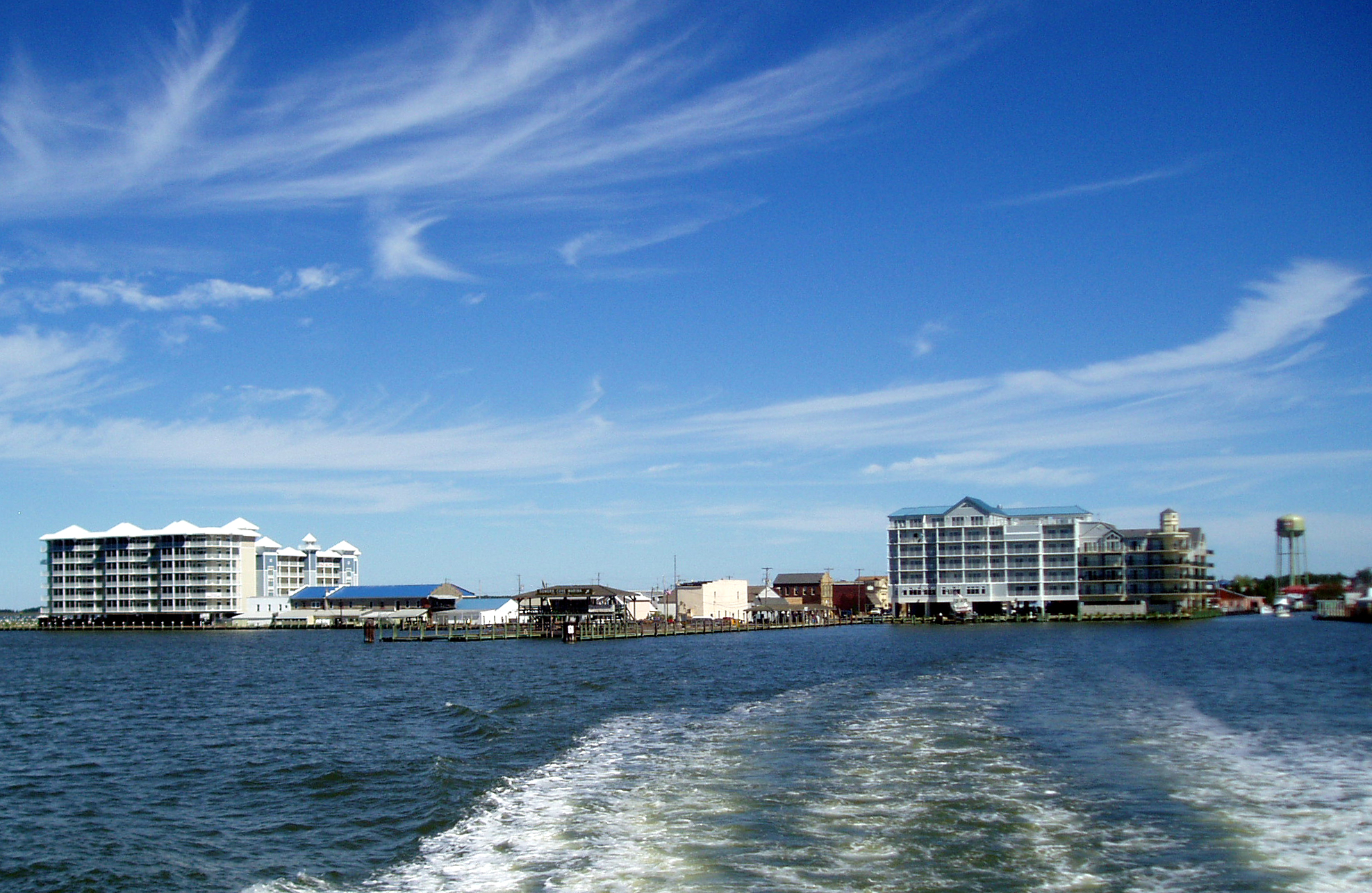
View across Somers Cove

Port Isobel, Va.
Saxis Virginia
Saxis Virginia

Port Isobel, Va.

Waterman working from boat, Port Isobel

Access and Rec 05

Wetlands 01

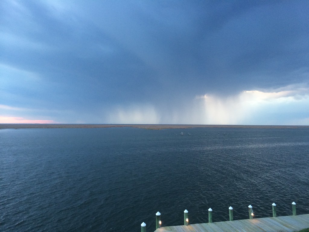
2014-04-26 19.23.24

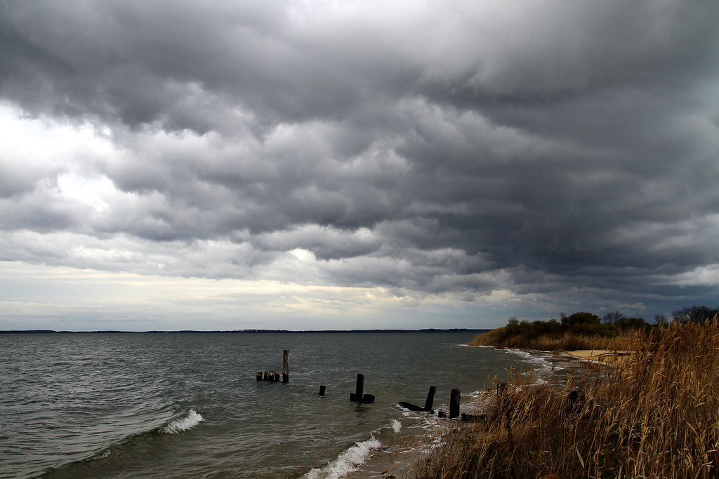
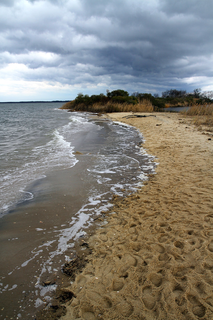
Shoreline erosion along island of Port Isobel 01
2014-04-26 19.39.38
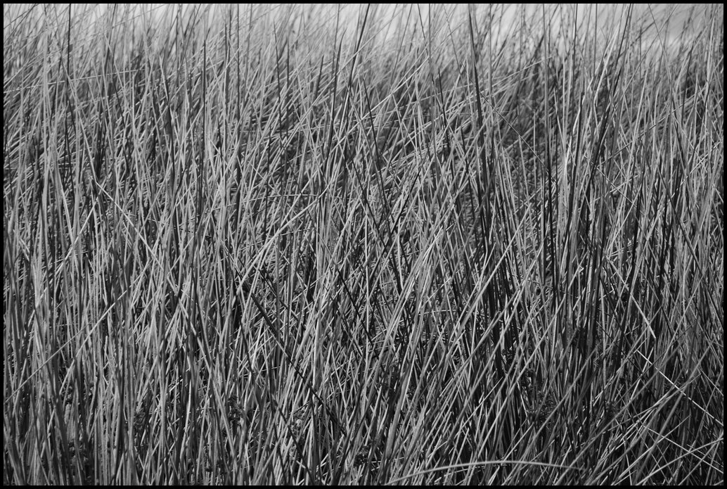
Grass 2

Accohannock Pow Wow 2011 - Marion Station, MD

Smith Island

Flight over reeds

Port Isobel, Va.

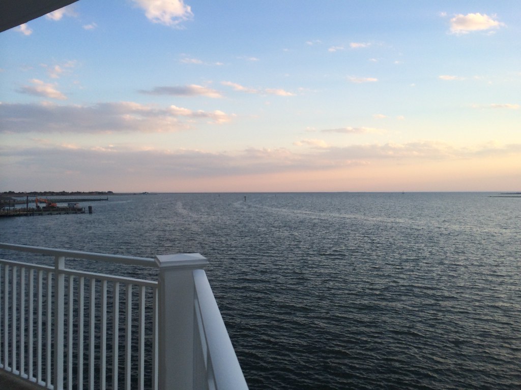
2014-04-26 19.25.26
2014-04-26 19.23.13

Long Point Shadows

Crisfeild Sun Salutation
Topographic Map of Tylers Cove Is, Crisfield, MD, USA
Find elevation by address:

Places near Tylers Cove Is, Crisfield, MD, USA:
12, Asbury
2900 Byrdtown Rd
Ape Hole Rd, Crisfield, MD, USA
2821 Ape Hole Rd
Saxis Rd, Saxis, VA, USA
Saxis
6, VA, USA
4, VA, USA
Williams Point Rd, Marion Station, MD, USA
Crystal Beach Rd, Onancock, VA, USA
16276 Crystal Beach Rd
20156 Allen Ln
Wise Street
21398 Southside Rd
21502 Southside Rd
21367 Hopkins Rd
24170 Anns Cove Rd
Anns Cove Rd, Bloxom, VA, USA
22628 Lee Mont Rd
Accomack County
Recent Searches:
- Elevation of Corso Fratelli Cairoli, 35, Macerata MC, Italy
- Elevation of Tallevast Rd, Sarasota, FL, USA
- Elevation of 4th St E, Sonoma, CA, USA
- Elevation of Black Hollow Rd, Pennsdale, PA, USA
- Elevation of Oakland Ave, Williamsport, PA, USA
- Elevation of Pedrógão Grande, Portugal
- Elevation of Klee Dr, Martinsburg, WV, USA
- Elevation of Via Roma, Pieranica CR, Italy
- Elevation of Tavkvetili Mountain, Georgia
- Elevation of Hartfords Bluff Cir, Mt Pleasant, SC, USA