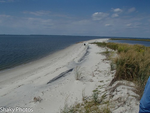
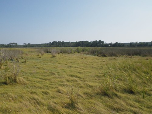
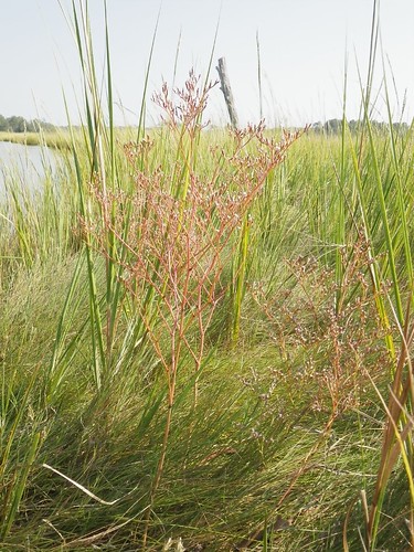
Elevation of Crystal Beach Rd, Onancock, VA, USA
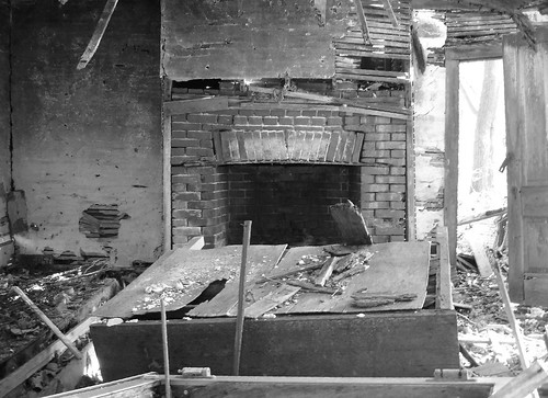
Location: United States > Virginia > Accomack County > > Onancock >

Longitude: -75.792093

Latitude: 37.7501079

Elevation: 1m / 3feet

Barometric Pressure: 101KPa

Elevation Map:

elevation map of Crystal Beach Rd, Onancock, VA, USA

Satellite Map:

Satellite map of Crystal Beach Rd, Onancock, VA, USA

Related Photos:

square squareformat iphoneography instagramapp uploaded:by=instagram
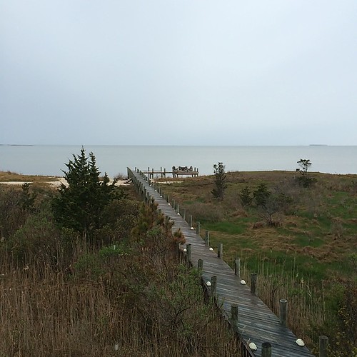
Rainy view of the Chesapeake Bay from Crystal Beach Cottage on the Eastern Shore of VA house and garden tour. #easternshoreVA
railroad geotagged virginia easternshore parallax delmarva accomac
Looking south from Greenbush, Virginia
blackandwhite abandoned rural ruins decay easternshore decrepit dilapidated blackwhitephotos tasley
Eastern view
winter snow abandoned rural decay easternshore vacant bayside marsh decrepit decayed bloxom nauticaldecay parksley accomack
Parker's Creek, Virginia
blackandwhite abandoned rural ruins decay easternshore decrepit dilapidated blackwhitephotos tasley
Near Tasley, Virginia
virginia easternshore accomac easternshoreofvirginia accomack
Porch View (4)
virginia easternshore accomac easternshoreofvirginia accomack
Porch View (5)
virginia easternshore accomac easternshoreofvirginia accomack
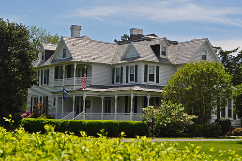
Front View Beyond Poncirus Hedge (1)
virginia easternshore accomac easternshoreofvirginia accomack
Porch View (3)
virginia easternshore accomac easternshoreofvirginia accomack
Front View with Dianthus and Boxwood Lined Walkway
virginia easternshore accomac easternshoreofvirginia accomack
Front View with Boxwood Hedge
virginia easternshore accomac easternshoreofvirginia accomack
Porch View (1)
virginia easternshore accomac easternshoreofvirginia accomack
Porch View (2)
virginia easternshore accomac easternshoreofvirginia accomack
Front View with Viburnum
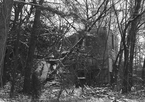
abandoned rural virginia ruins decay easternshore vacant decrepit decayed greenbush accomack tasley
Blocked view
baybarometerrelease environment unitedstates camera:model=canoneos5dmarkiv exif:model=canoneos5dmarkiv camera:make=canon geocity exif:focallength=67mm exif:isospeed=800 exif:lens=ef24105mmf4lisusm geo:country=unitedstates geostate exif:aperture=ƒ80 exif:make=canon
Accomack County, Va.
cemetery virginia churches nationalregister nationalregisterofhistoricplaces onancock accomackcounty cokesburychurch
Cokesbury Church- Onancock VA (4)
nature virginia scenery easternshore accomackcounty mywinners nandua sunsetnandua
Sunset @ Nandua
nature birds fauna virginia easternshore songsparrow melospizamelodia accomackcounty nandua canon40d700mmf561400seciso400avspotnoflash
Melospiza melodia
delmarvapeninsula harbortonvirginia winter boatramp peninsula easternshorevirginia accomackcounty virginiamarineresourcescommission creek virginia harborton easternshore dailyphoto pungoteaguecreek va accomackcountyvirginia pauldiming unitedstates us
Harborton Boat Ramp c. 2000 on Pungoteague Creek - Harborton, VA
winter blackandwhite abandoned landscape virginia ruins decay easternshore vacant decrepit decayed cashville onancock accomack
Near Cashville, Virginia
blackandwhite house abandoned rural virginia ruins decay easternshore shore vacant decrepit eastern decayed onancock blackwhitephotos accomack
"Robertson Lane" near Onancock, Virginia
sunset labs waterbirds labradors onancock
Winter Sunset Over the Chesapeake
DSC2_4998-20
pungateague creek
DS2_5889-28
nature birds fauna virginia easternshore fieldsparrow spizellapusilla nandua canon40d700mmf561250seciso400avspotnoflash
Spizella pusilla
house abandoned rural virginia ruins decay easternshore vacant decayed parksley accomack justisville
Near Justisville, Virginia
blackandwhite rural pond easternshore onancock blackwhitephotos tasley
Merry Branch
paddling cbv longpointva
Paddling CBV-9181146.jpg
chesapeakebay
Saltmarsh zonation
DSC2_5010-49
DS2_5994-143
chesapeakebay
Sea Lavender
winter blackandwhite abandoned landscape virginia ruins decay easternshore vacant decrepit decayed cashville onancock accomack
Near Cashville, Virginia