Elevation of Tygh Valley, OR, USA

Location: United States > Oregon > Wasco County >

Longitude: -121.17312

Latitude: 45.247341

Elevation: 348m / 1142feet

Barometric Pressure: 97KPa

Elevation Map:

elevation map of Tygh Valley, OR, USA

Satellite Map:

Satellite map of Tygh Valley, OR, USA

Related Photos:

square lofi squareformat iphoneography instagramapp uploaded:by=instagram
The #365photo view from my office tonight. #Countryfied14 Congrats Justin & Alyssa!
oregon waterfalls pacificnorthwest wascocounty
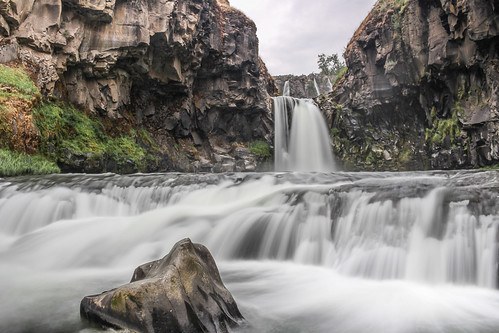
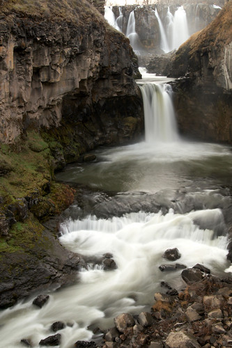
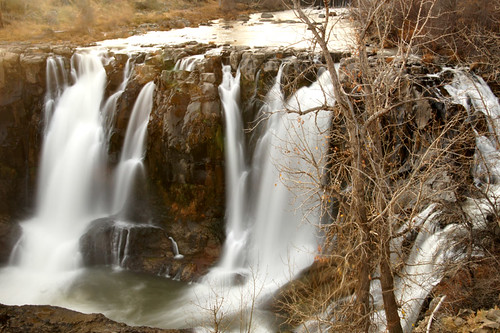
Middle White River Falls, Study 3
statepark longexposure nature oregon river waterfall view unitedstates hiking hike falls trail pacificnorthwest westcoast pnw maupin mounthoodterritory summer2014
Tumbling Water
statepark nature oregon centraloregon river waterfall view unitedstates desert hiking canyon hike falls trail pacificnorthwest westcoast pnw maupin upshot easternoregon mounthoodterritory summer2014
White River Falls
blackandwhite bw water monochrome oregon waterfalls pacificnorthwest wascocounty
Middle White River Falls, Study 2
blackandwhite bw water monochrome oregon waterfalls pacificnorthwest naturesfinest wascocounty betterthangood
Middle White River Falls, Study 1
park white abandoned water clouds oregon river landscape state canyon hydroelectric
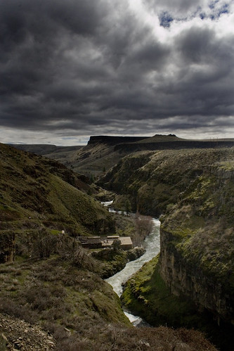
White River
oregon waterfalls rivers pacificnorthwest blueribbonwinner supershot
Sherars Falls, Study #1
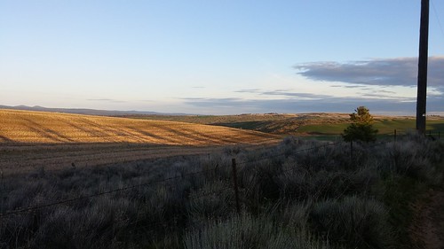
Sunday morning view
ford capri rally
1973 Capri ex Rally Car (2)
oregon or waterfalls whiteriver mthood
White River Falls #1
blackandwhite bw water monochrome oregon waterfalls pacificnorthwest wascocounty
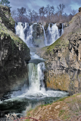
Upper White River Falls
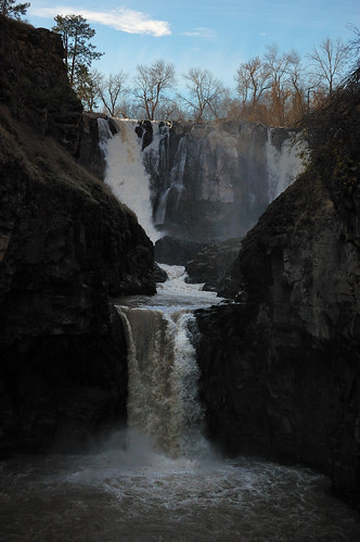
White River Falls
wetwesties
OPPOSITE VIEW
oregon nikon waterfalls hdr onone on1 photomatix tonemapped d7100
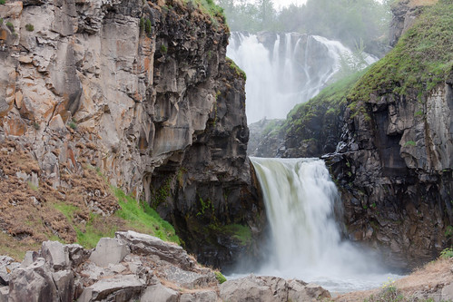
Upper White River Falls
oregon waterfall central falls whiteriver tyghvalley
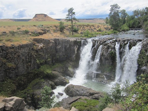
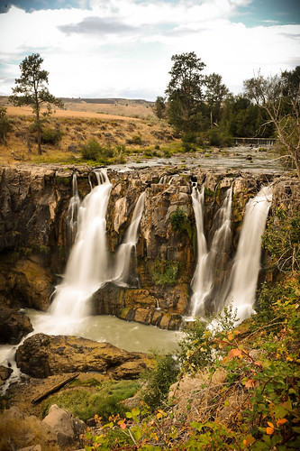
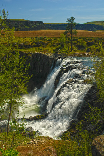
White River Falls
railroad bridge usa river landscape high unitedstates desert northwest unitedstatesofamerica tracks railway tunnel deschutes highdesert pacificnorthwest northamerica democrat liberal oregonhighdesert americanlandscape oregondesert thewestcoast railroadwar
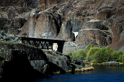
Bridge One
white water oregon river landscape fly fishing nikon columbia rapids deschutes rafting nikkor hdr maupin hdri d700
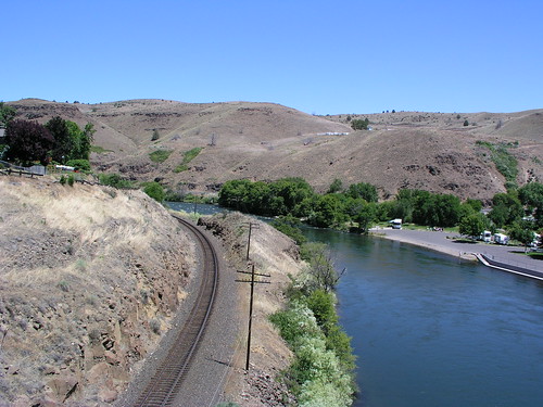
Deschutes River, Oregon
landscapesshotinportraitformat
White River Falls
longexposure oregon river canyon waterfalls lsclcomp
White River Falls
waterfalls
white river falls
White River Falls from the power plant
vacation water oregon waterfall
Water Falls Abound
waterfall scenic lomolca easternoregon whiteriverfalls ilfordblackandwhite duferoregon
White River Falls
park white oregon speed river graphic state kodak tmax super falls quay 4x5 gary pyro columbiagorge pmk rodenstock foolscape optar garylquay foolscapeimagery
White River Falls, June 2012
White River Too
andrewhaliburton celestialfalls celestialgorge hydro hydroelectric lightpainting machine maupin midnight nocturnes oprd power wascocounty whiteriverfalls whiteriverfallsstatepark longexposure oregon usa noctography astrolandscape astronomy astrophotography earthandspace nightphotography nightshoot nwafterdark nikon nikkor
Powerhouse-1-Hydro-Electric-Relic.jpg
andrewhaliburton celestialfalls celestialgorge hydro hydroelectric lightpainting machine maupin midnight nocturnes oprd power wascocounty whiteriverfalls whiteriverfallsstatepark longexposure oregon usa noctography astrolandscape astronomy astrophotography earthandspace nightphotography nightshoot nwafterdark nikon nikkor
Powerhouse-2-Hydro-Electric-Relic.jpg
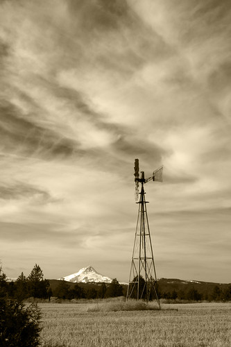
Wind Power B/W
vacation water oregon waterfall
Upper White River Falls Oregon
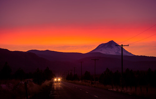
road sunset fence headlights mthood easternoregon
Mt. Hood
panorama usa oregon landscape us waterfall unitedstatesofamerica powerstation whiteriverfallsstatepark wascocounty tyghvalley hydroelectricpowerstation iphone5
Power Plant
oregon unitedstates maupin
Just the Falls