Elevation of Earl Crabtree Rd, Maupin, OR, USA
Location: United States > Oregon > Wasco County > Maupin >
Longitude: -121.13424
Latitude: 45.189189
Elevation: 532m / 1745feet
Barometric Pressure: 95KPa
Elevation Map:
Satellite Map:
Related Photos:

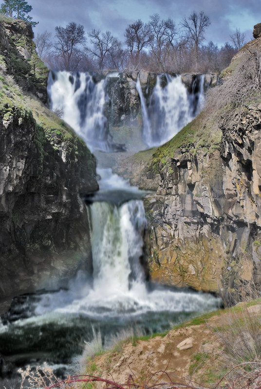
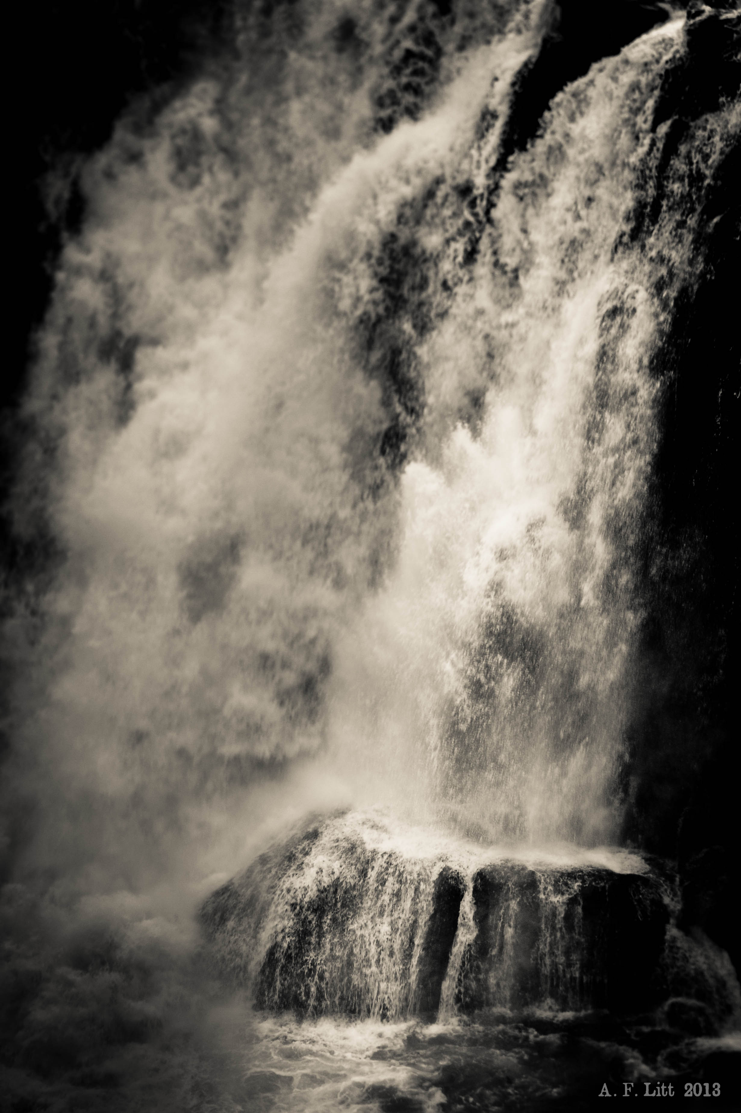
Middle White River Falls, Study 3

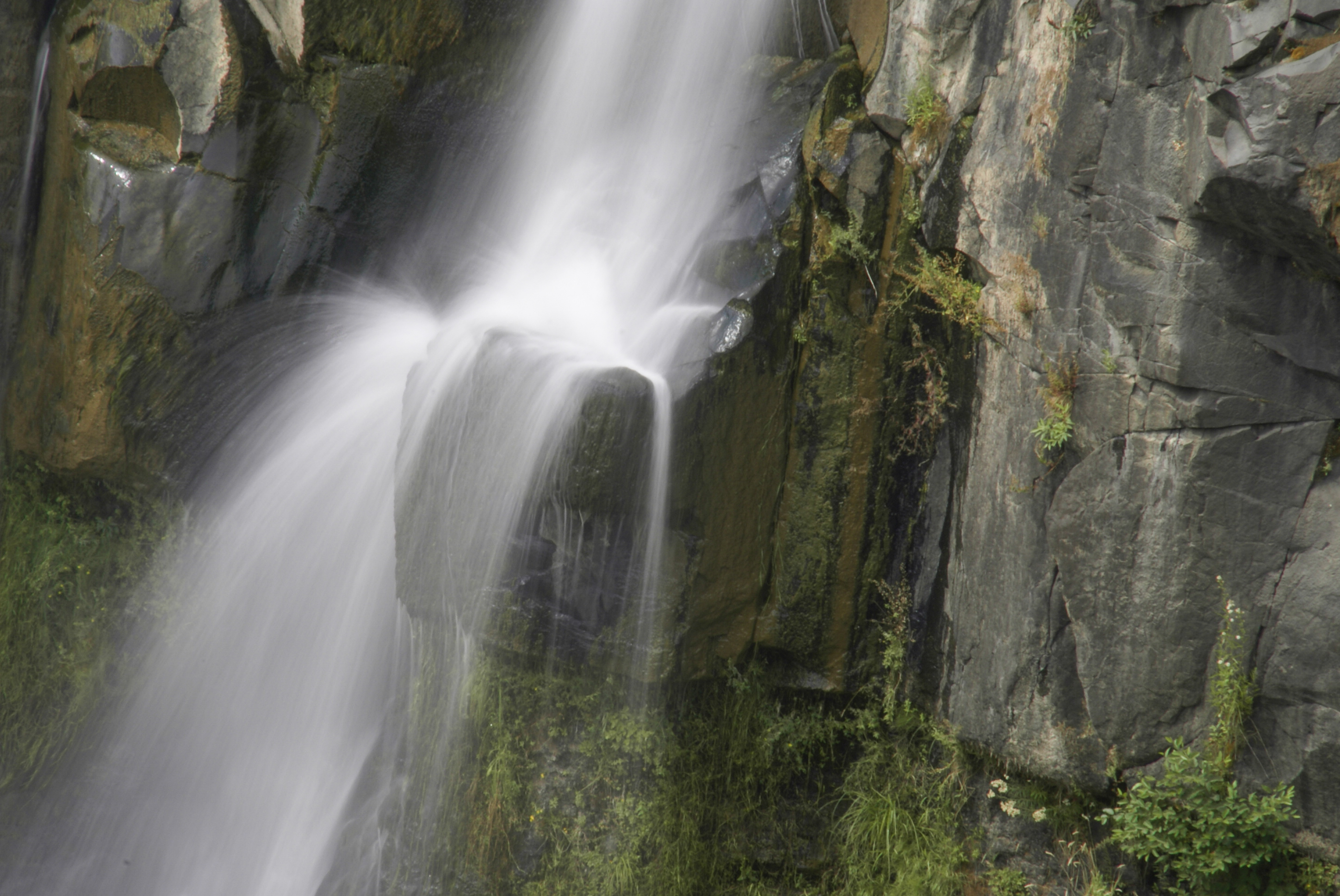
Tumbling Water
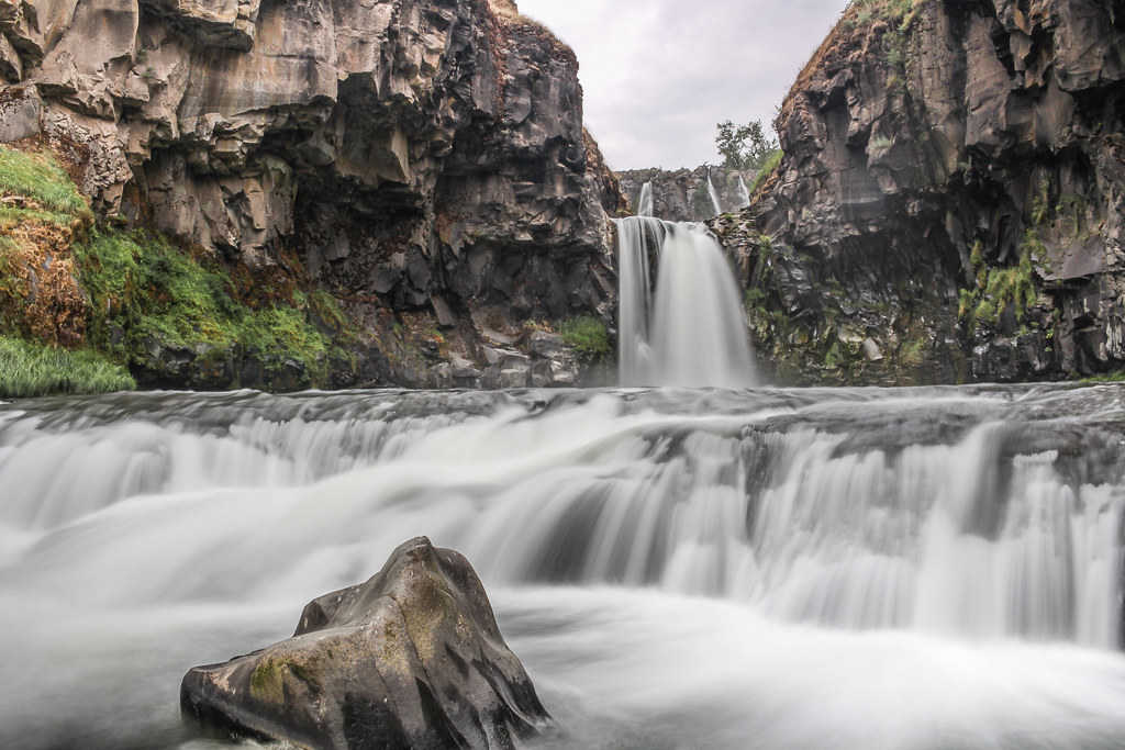
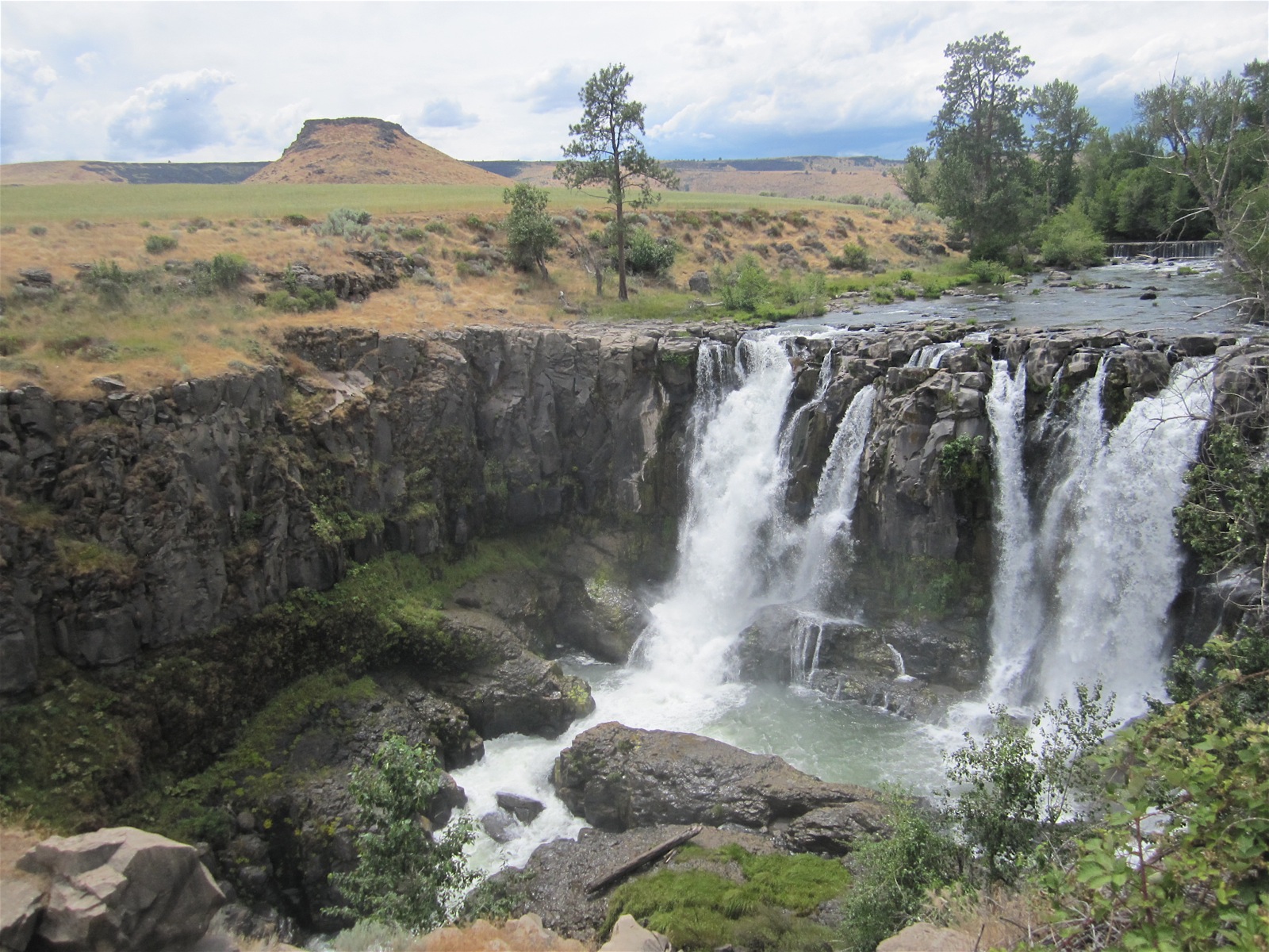
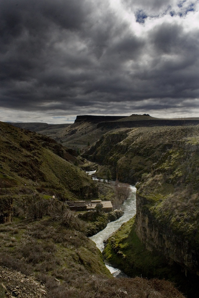
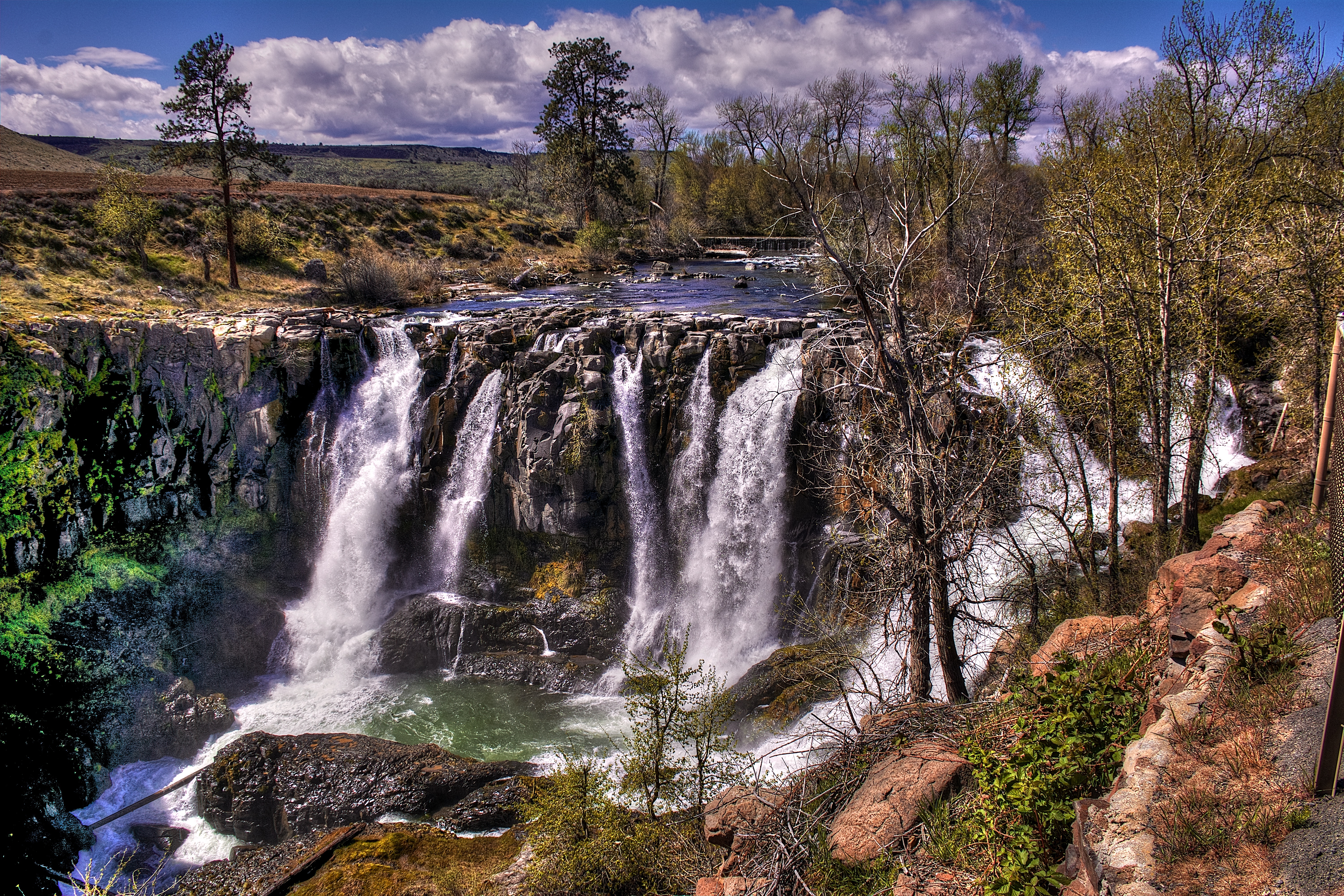
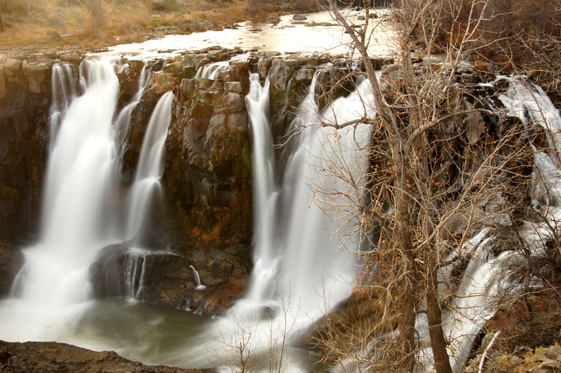
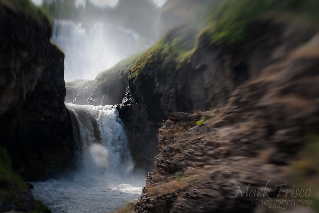
White River Falls
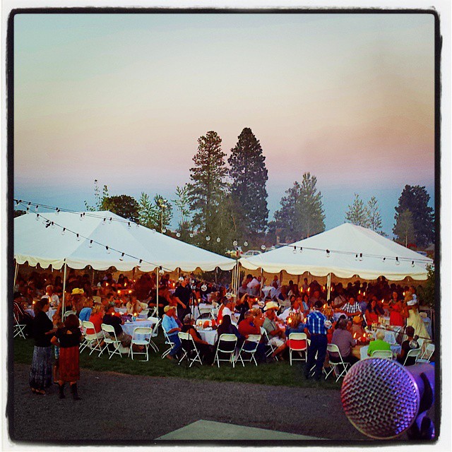
The #365photo view from my office tonight. #Countryfied14 Congrats Justin & Alyssa!

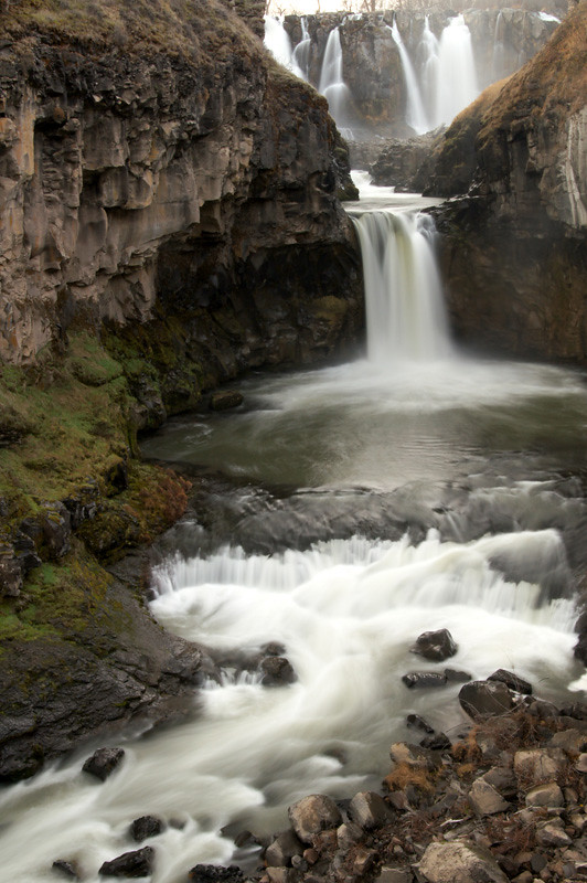
Middle White River Falls, Study 2

Middle White River Falls, Study 1

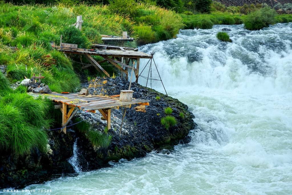
Sherars Falls, Study #1

1973 Capri ex Rally Car (2)
White River Falls #1

Upper White River Falls
White River Falls
OPPOSITE VIEW
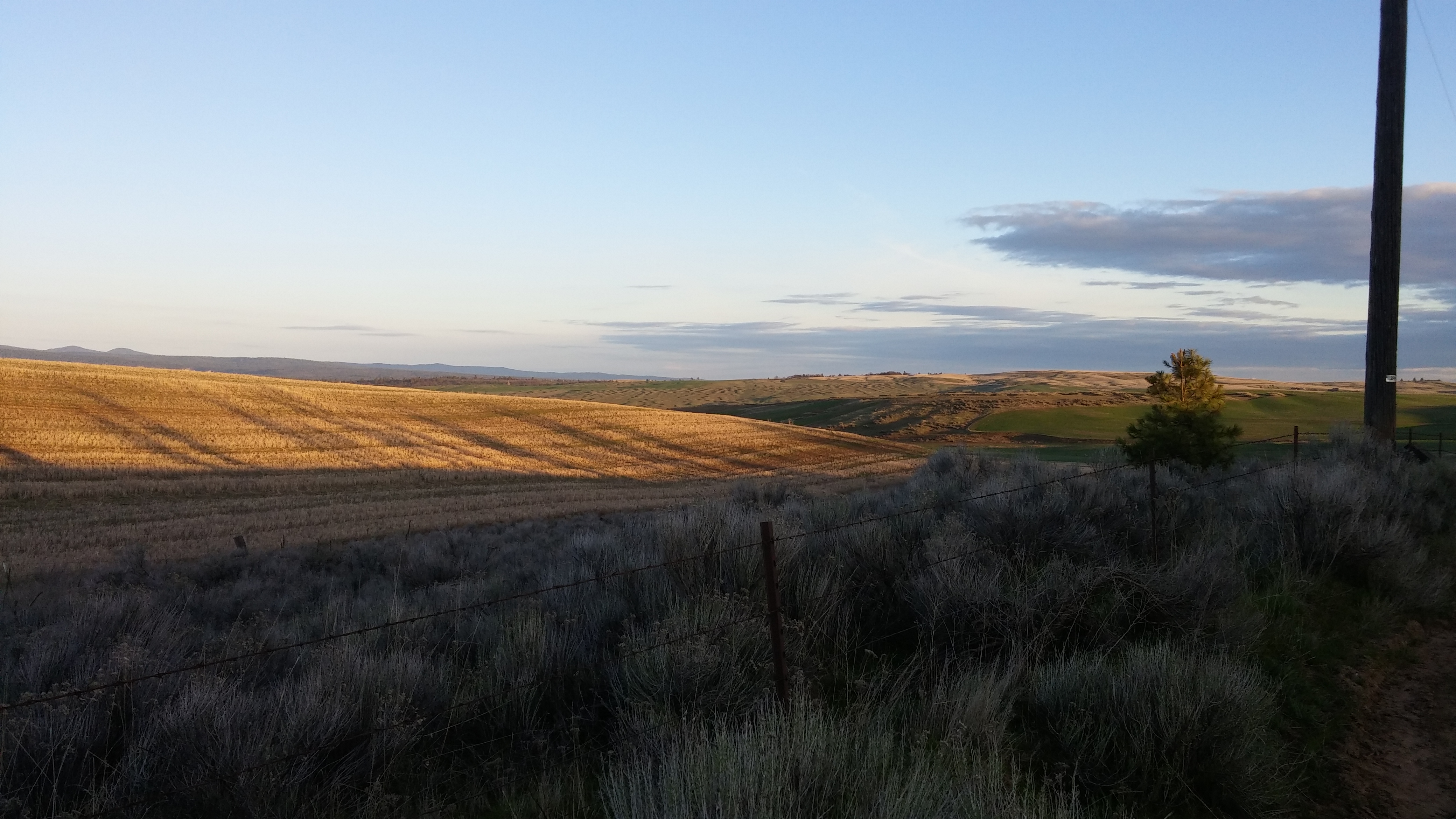
Sunday morning view
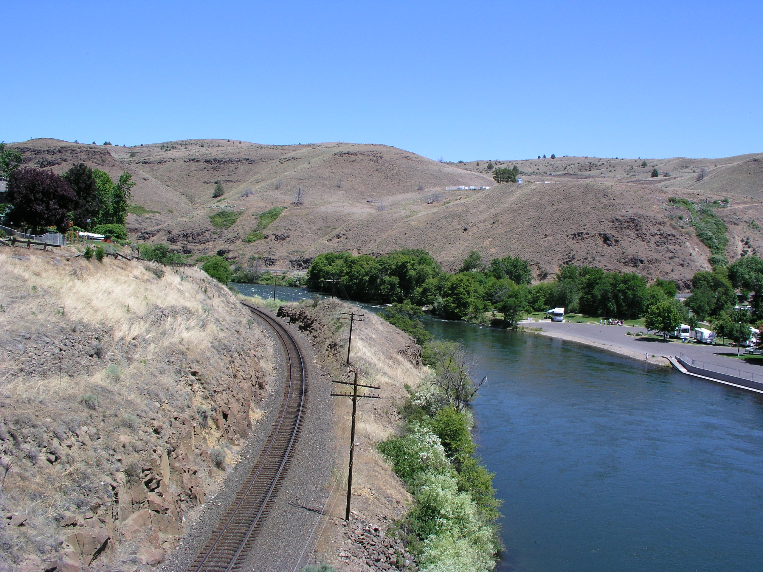
White River

Cowboy Reststop
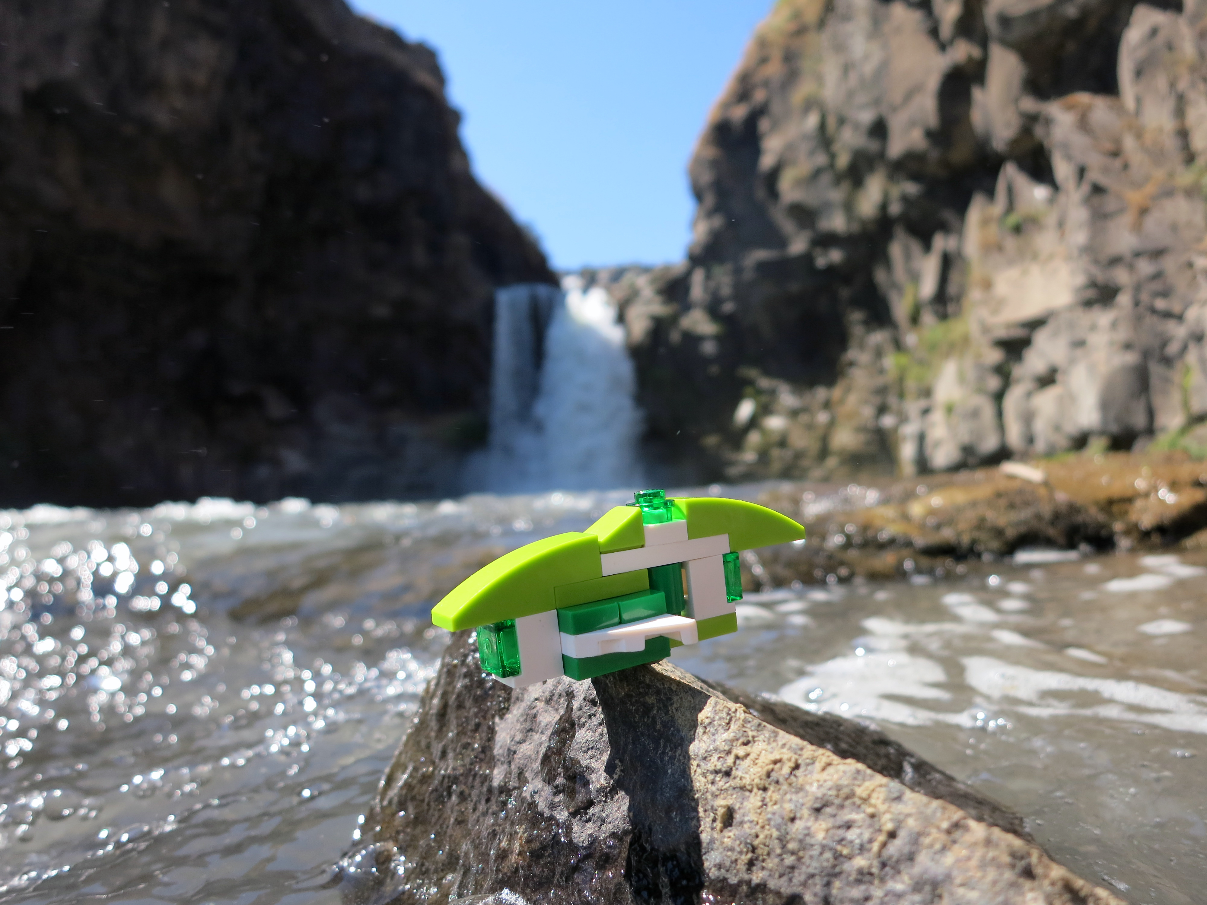
LEGO a Day 232/365
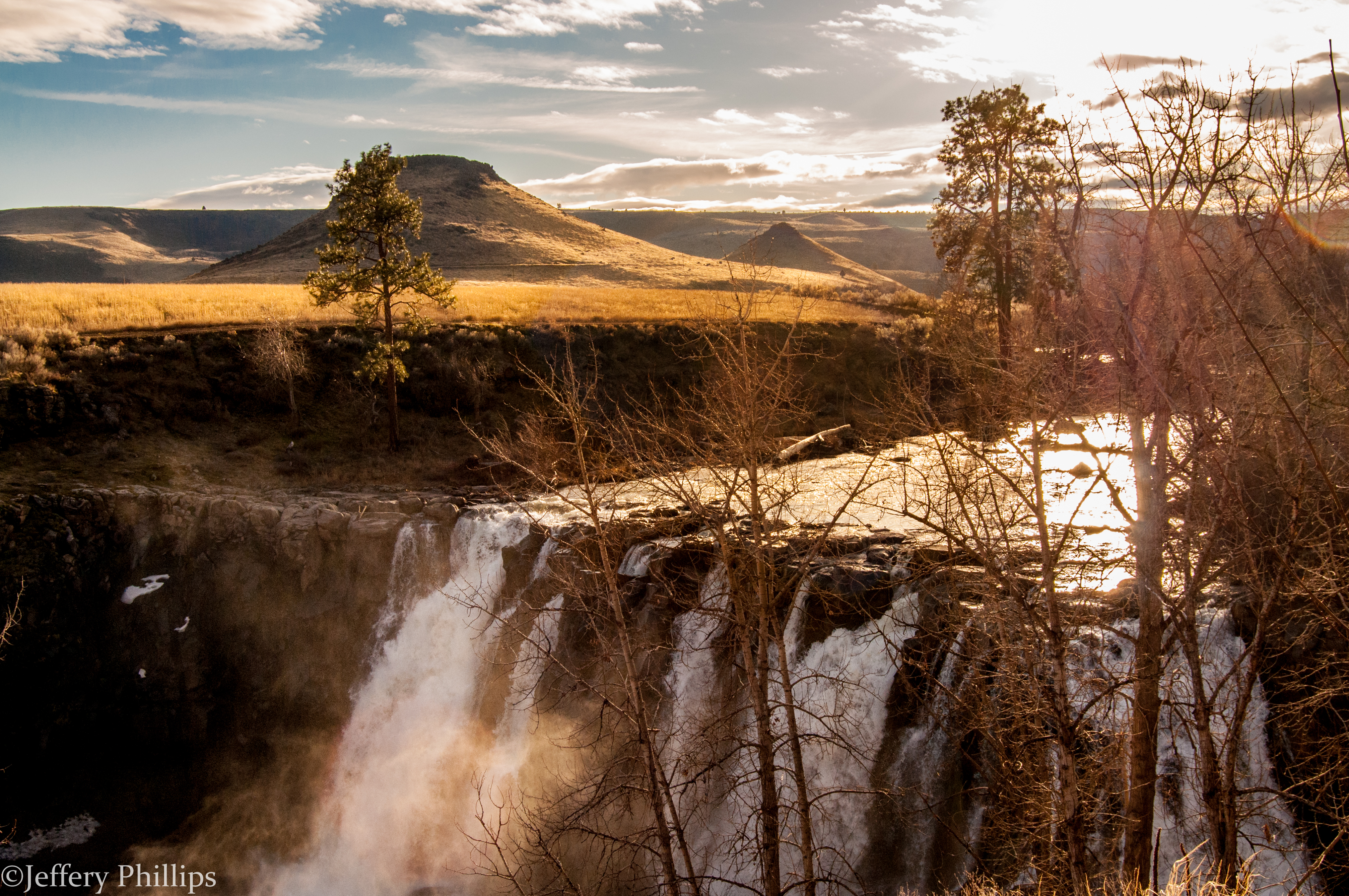
Upper White River Falls
White River Falls
Water Falls Abound

White River Falls

Bridge One

White River Falls, June 2012
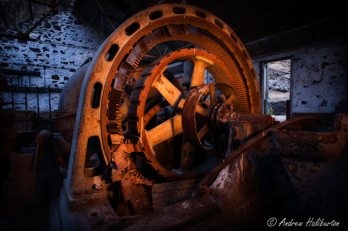
Powerhouse-1-Hydro-Electric-Relic.jpg

Powerhouse-2-Hydro-Electric-Relic.jpg
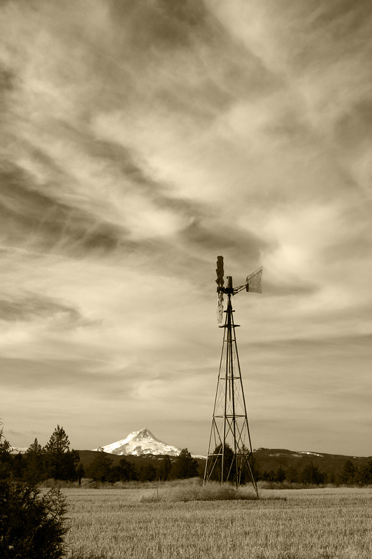
Wind Power B/W
Upper White River Falls Oregon
Deschutes River, Oregon
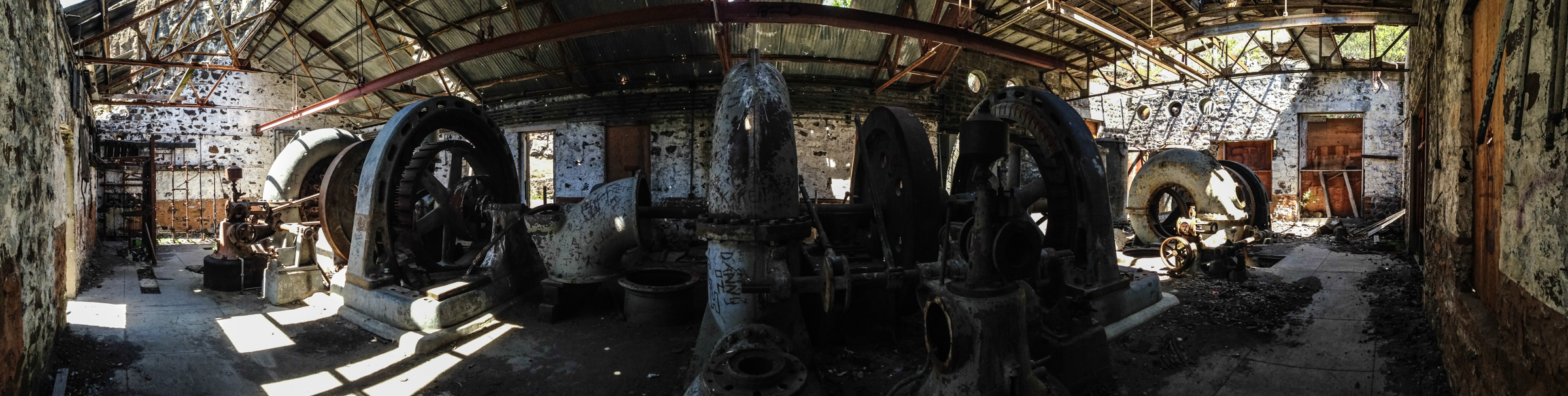
Power Plant

White River Falls, monochrome, plate 2
Just the Falls

White River Fall36
White River Falls State Park OR
White River Falls
Topographic Map of Earl Crabtree Rd, Maupin, OR, USA
Find elevation by address:

Places near Earl Crabtree Rd, Maupin, OR, USA:
83540 Old Wapinitia Rd
82900 Val Miller Rd
206 Little Lake Rd
505 Lloyd Ave
Maupin
609 Staats Ave
Bakeoven Rd, The Dalles, OR, USA
Maupin City Park
St Charles Ave, Tygh Valley, OR, USA
Tygh Valley
81255 Badger Creek Rd
Wasco County
Pine Hollow
S Mike Rd, Tygh Valley, OR, USA
Pine Hollow Reservoir
Old Friend Rd, Dufur, OR, USA
Fargher Rd, Dufur, OR, USA
80310 Ridgetop Rd
122 Lake Way
Airport Way
Recent Searches:
- Elevation of Corso Fratelli Cairoli, 35, Macerata MC, Italy
- Elevation of Tallevast Rd, Sarasota, FL, USA
- Elevation of 4th St E, Sonoma, CA, USA
- Elevation of Black Hollow Rd, Pennsdale, PA, USA
- Elevation of Oakland Ave, Williamsport, PA, USA
- Elevation of Pedrógão Grande, Portugal
- Elevation of Klee Dr, Martinsburg, WV, USA
- Elevation of Via Roma, Pieranica CR, Italy
- Elevation of Tavkvetili Mountain, Georgia
- Elevation of Hartfords Bluff Cir, Mt Pleasant, SC, USA