Elevation of TX-36, Caldwell, TX, USA
Location: United States > Texas > Burleson County > Caldwell >
Longitude: -96.565829
Latitude: 30.3882509
Elevation: 106m / 348feet
Barometric Pressure: 100KPa
Elevation Map:
Satellite Map:
Related Photos:
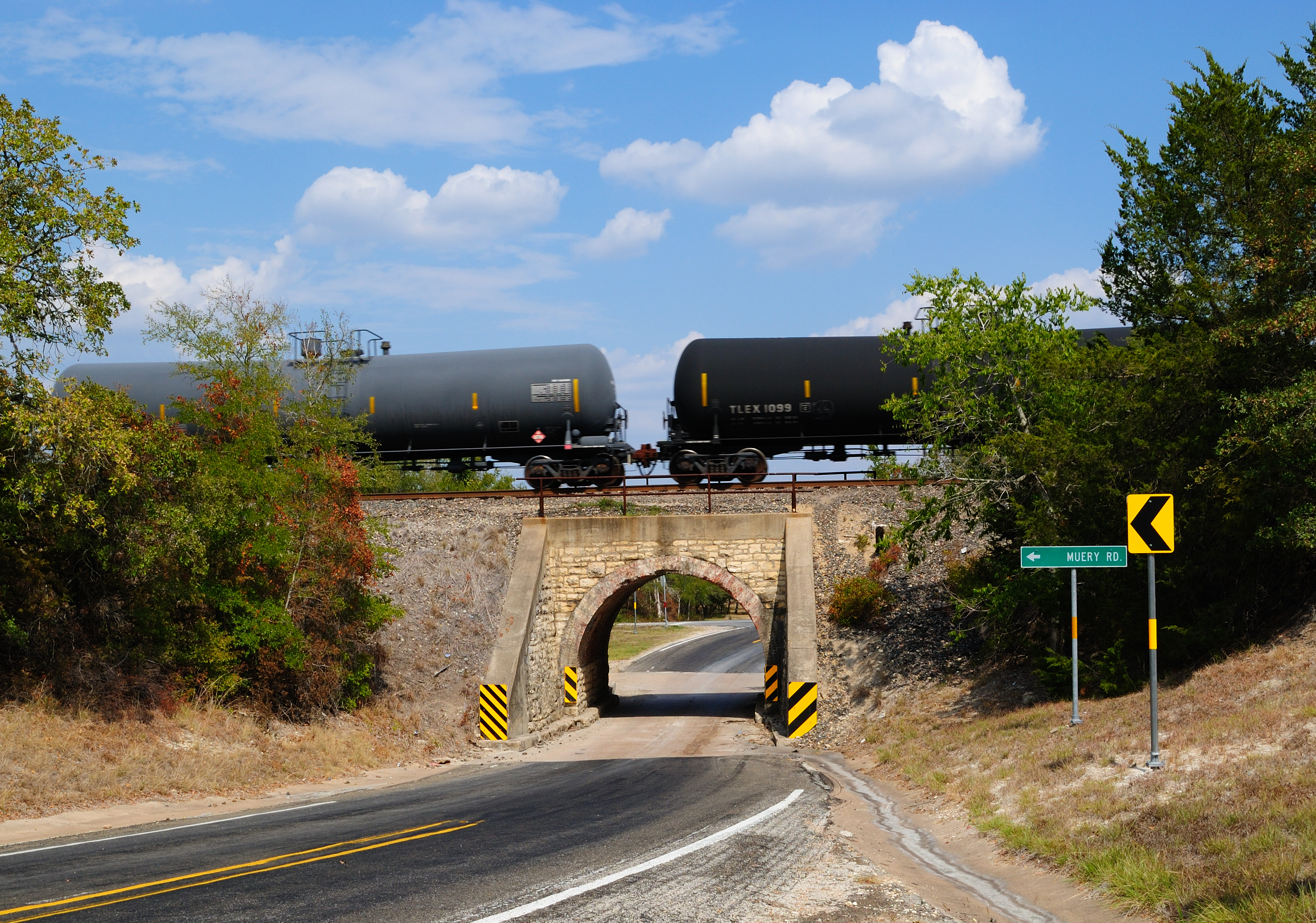
Railroad Bridge over FM 390, Washington County, Texas 0922111505

Chilifest 2010: Crowd Pan 1
Chilifest 2010: VIP Panorama

Backpacker's View

Overlooking Somerville Lake

_MG_7663-Edit-Edit-1024.jpg

Tall Grass

Flowers at sunset
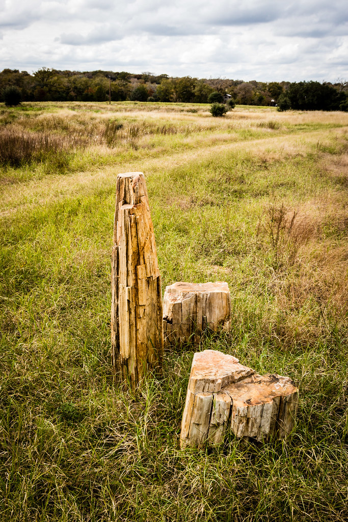
Petrified wood

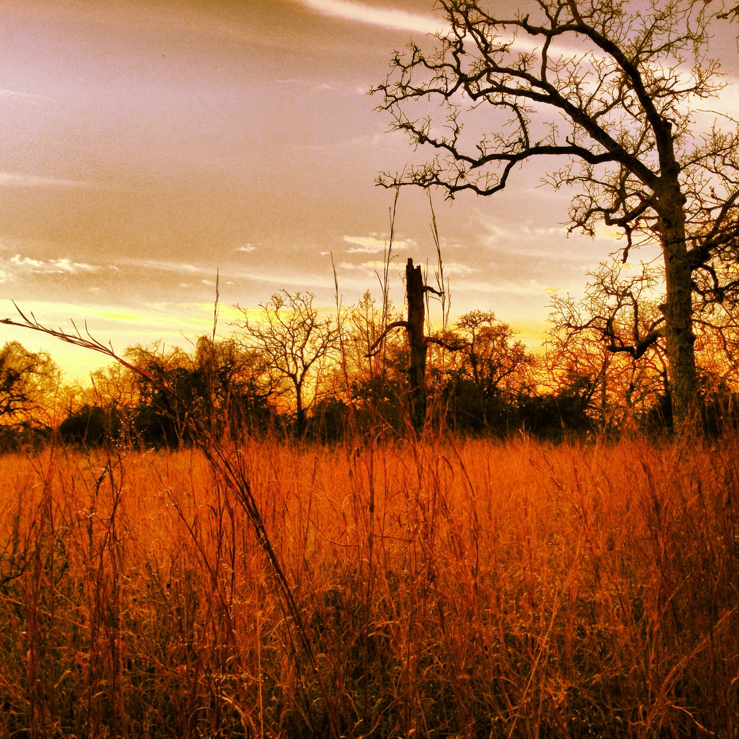
Easter Eve Sunset
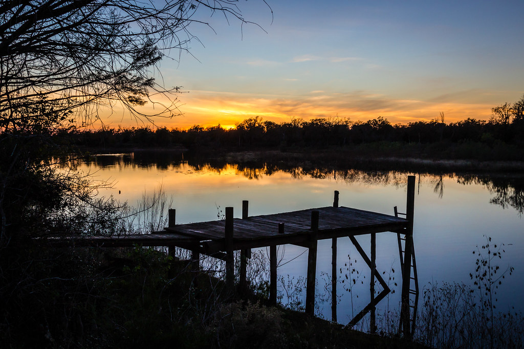
Sunrise at Lake Somerville State Park
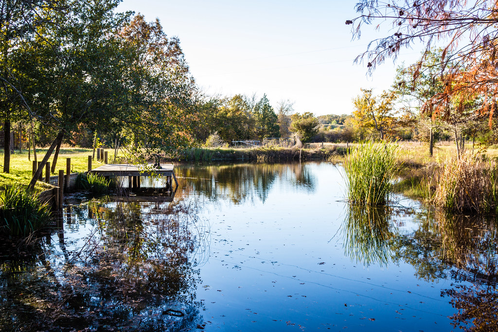
Alan's pond

Crowd Pan 2

100_44338_May 03, 2014_51_42.jpg

86_44324_May 03, 2014_44_53.jpg
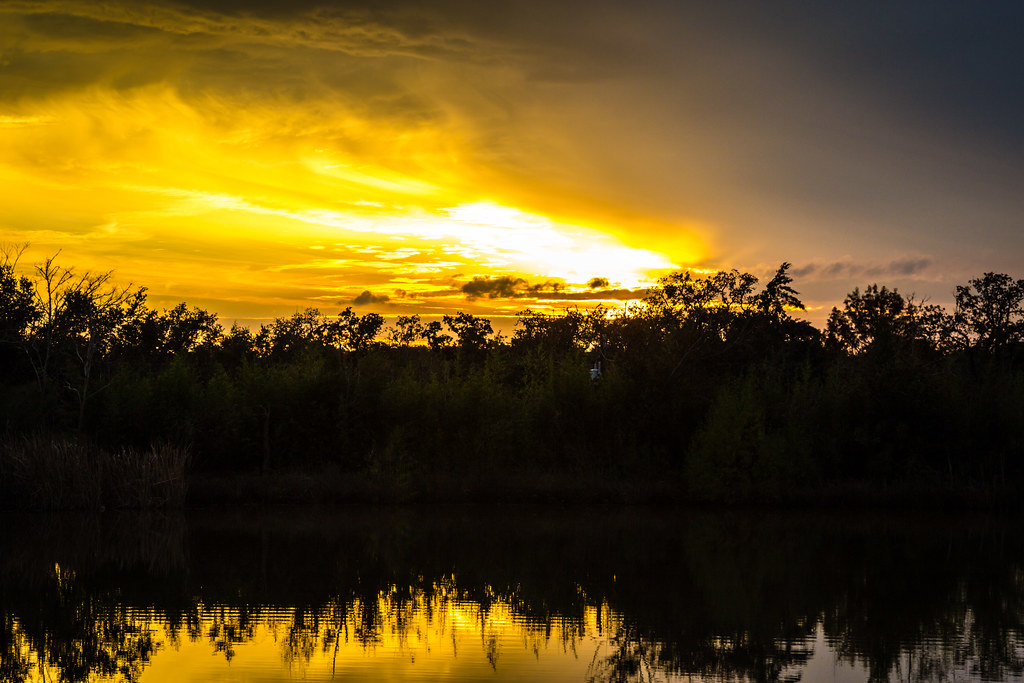
Sunset over the lake
Sunset over Edwards Lake

Sunset over Edwards Lake
_MG_7593-Edit-1024.jpg
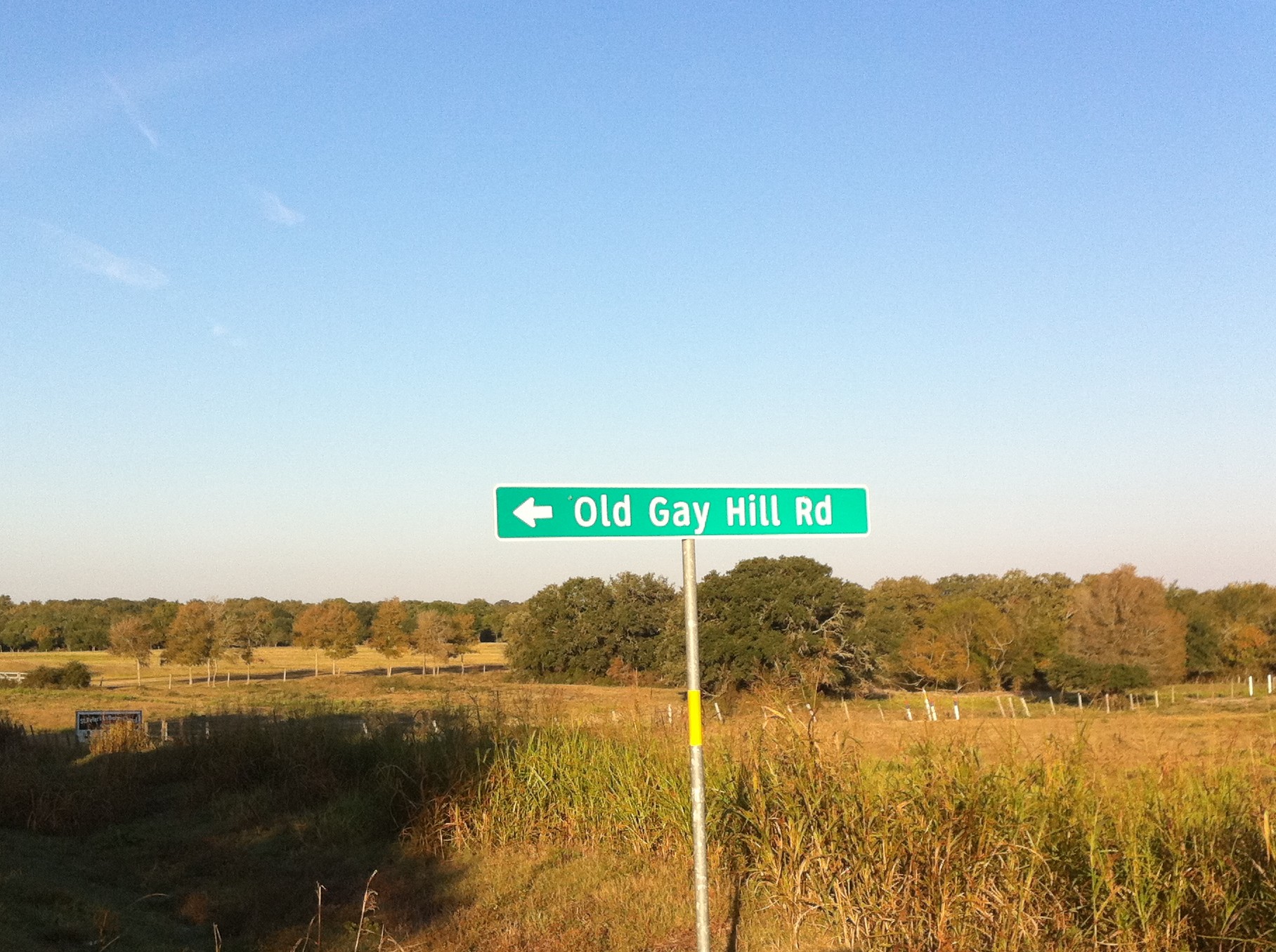
Old Gay Hill Rd

109_44347_May 03, 2014_59_52.jpg
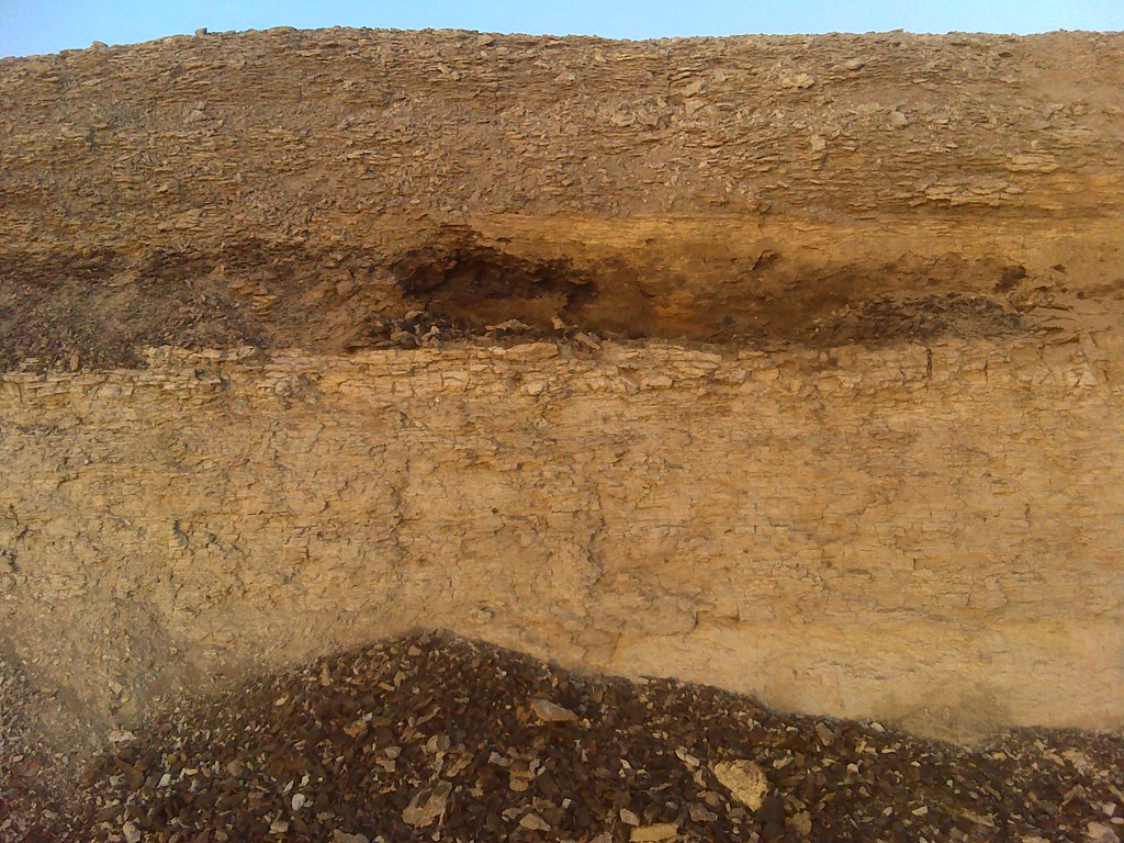
Lignite or Peat seam at Lake Somerville, Tx.
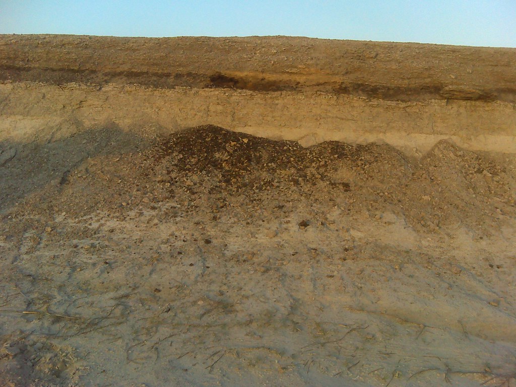
Lignite or Peat seam at Lake Somerville, Tx.

Purple flower
Topographic Map of TX-36, Caldwell, TX, USA
Find elevation by address:

Places near TX-36, Caldwell, TX, USA:
Somerville
Little Berry Drive
6108 Fischer Rd
Rehburg Rd, Burton, TX, USA
701 Farm To Market Rd 390
8930 Fm 1948
Mayfair Lane
6058 Longpoint Rd
15951 Asa Hoxie Rd
5109 Farm To Market Rd 390
5600 Farm To Market Rd 390
Kaye Street, Somerville, TX, USA
Clay
Independence
FM, Brenham, TX, USA
10225 T S Saul Rd
6572 Sandy Hill Rd
Old Independence Rd, Brenham, TX, USA
Washington County
Recent Searches:
- Elevation of Corso Fratelli Cairoli, 35, Macerata MC, Italy
- Elevation of Tallevast Rd, Sarasota, FL, USA
- Elevation of 4th St E, Sonoma, CA, USA
- Elevation of Black Hollow Rd, Pennsdale, PA, USA
- Elevation of Oakland Ave, Williamsport, PA, USA
- Elevation of Pedrógão Grande, Portugal
- Elevation of Klee Dr, Martinsburg, WV, USA
- Elevation of Via Roma, Pieranica CR, Italy
- Elevation of Tavkvetili Mountain, Georgia
- Elevation of Hartfords Bluff Cir, Mt Pleasant, SC, USA