Elevation of Caldwell, TX, USA
Location: United States > Texas > Burleson County >
Longitude: -96.693030
Latitude: 30.5313152
Elevation: 119m / 390feet
Barometric Pressure: 100KPa
Elevation Map:
Satellite Map:
Related Photos:

Porch View

A Turn in the Air
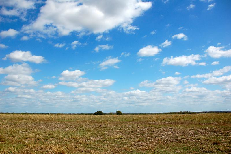
Burleson County Skies
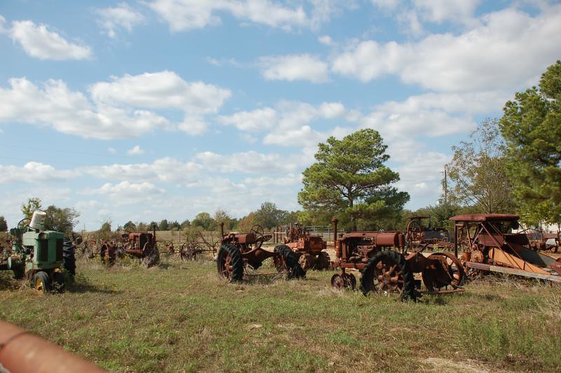
Tractor Graveyard

Tractor Graveyard
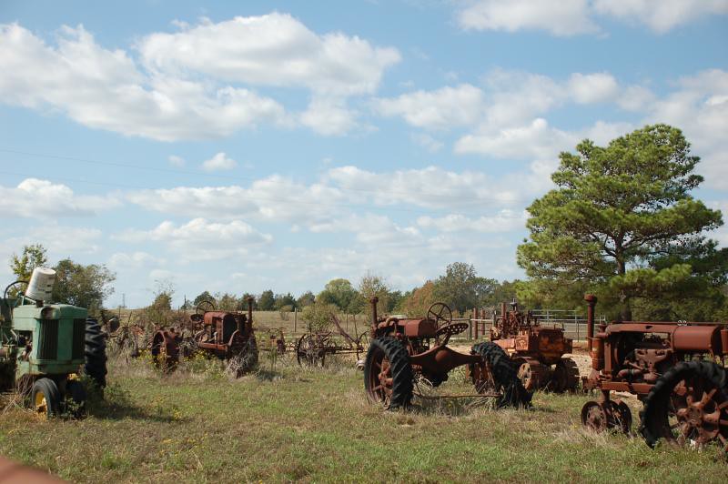
Tractor Graveyard

Purple flower

Sueeze Box Musician
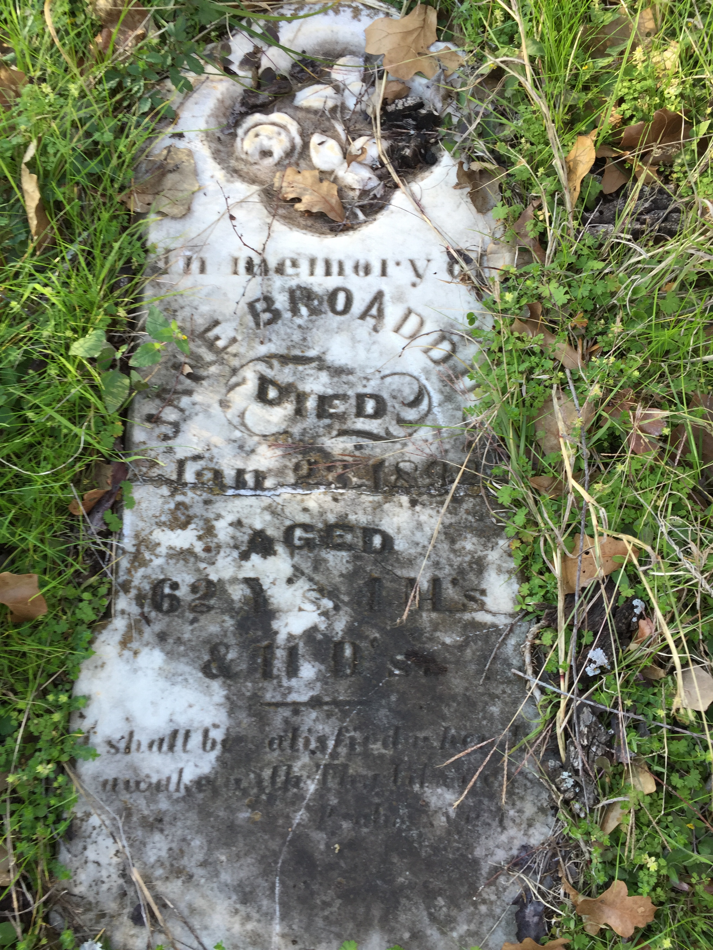
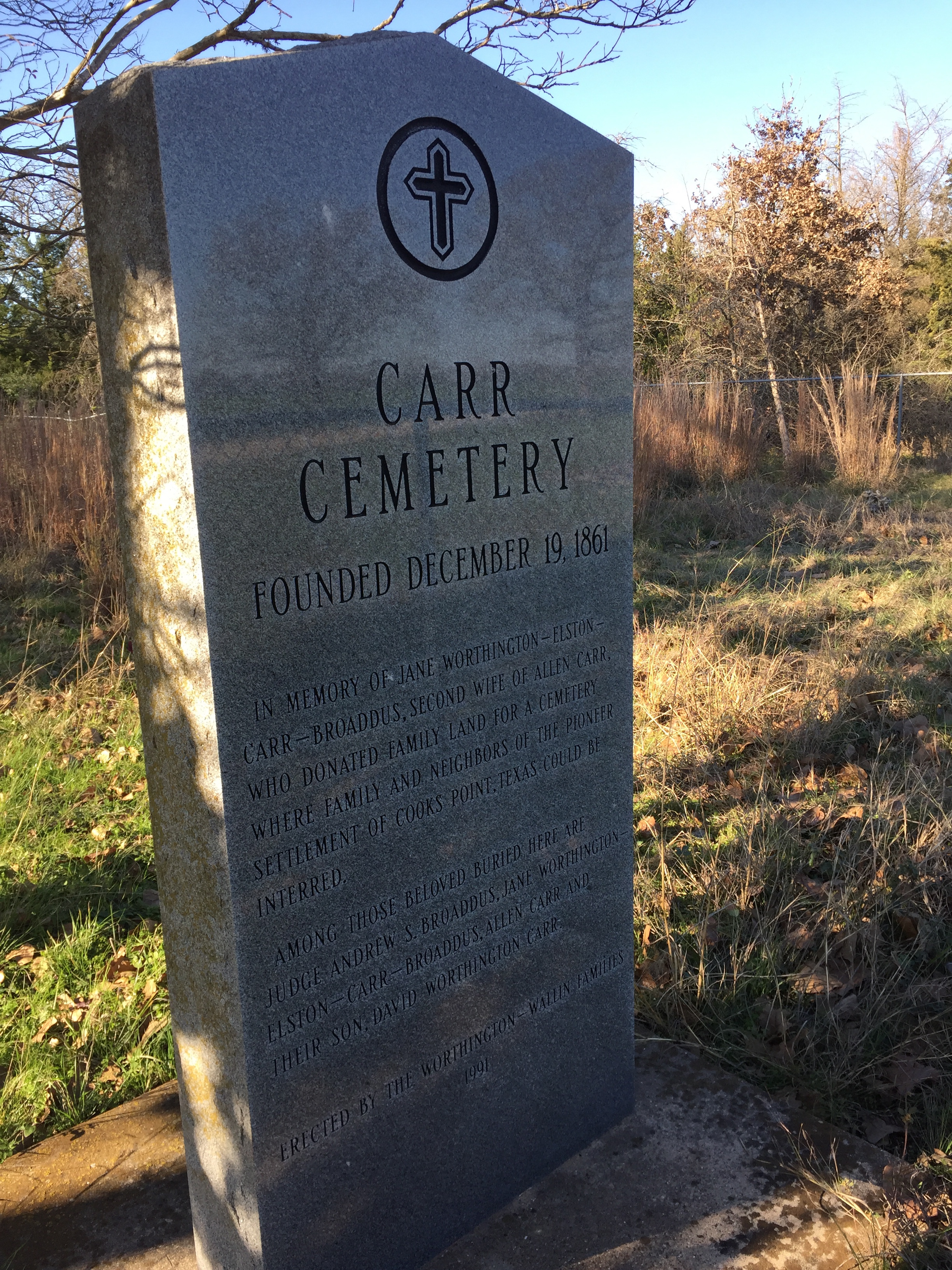
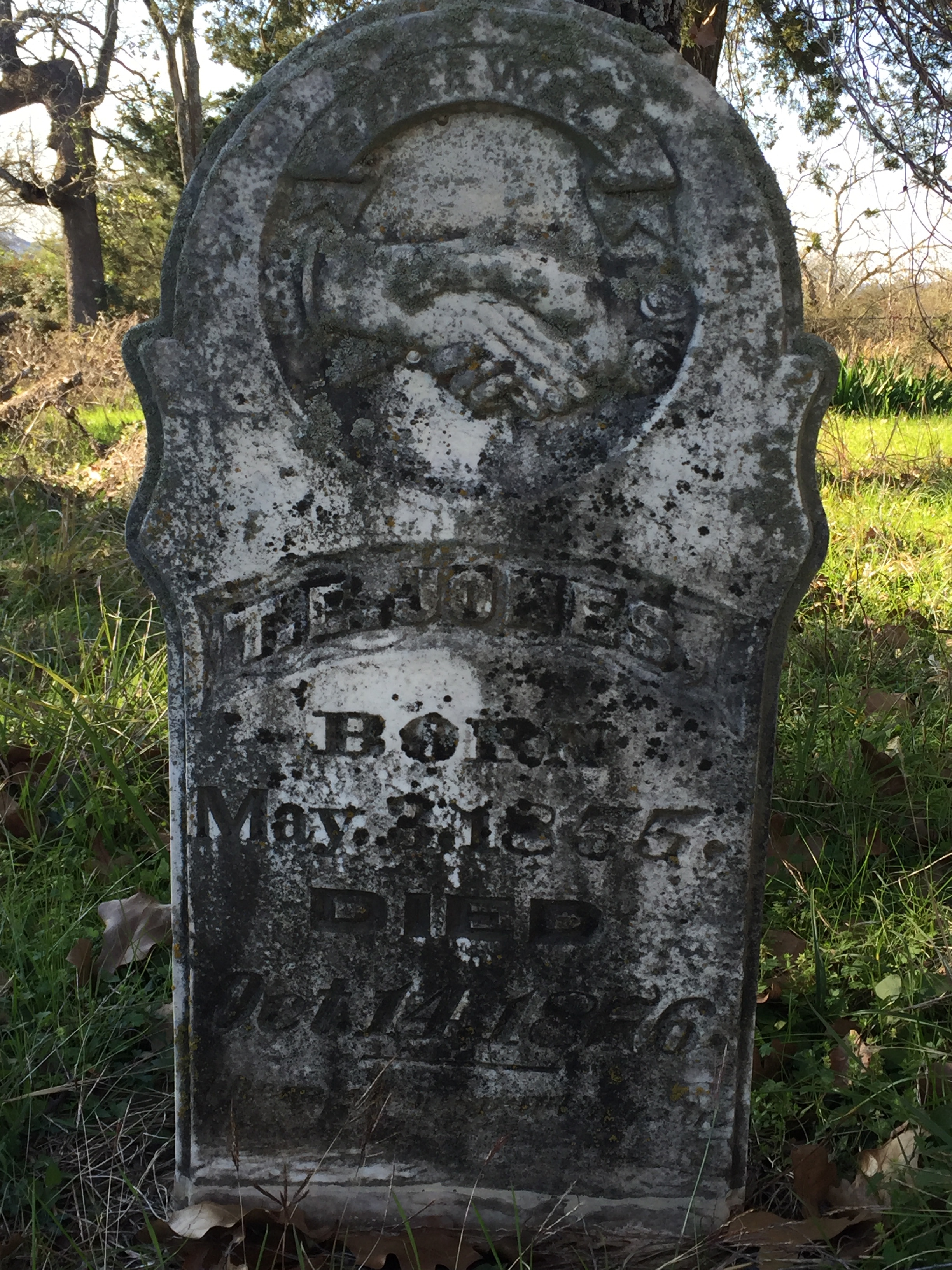
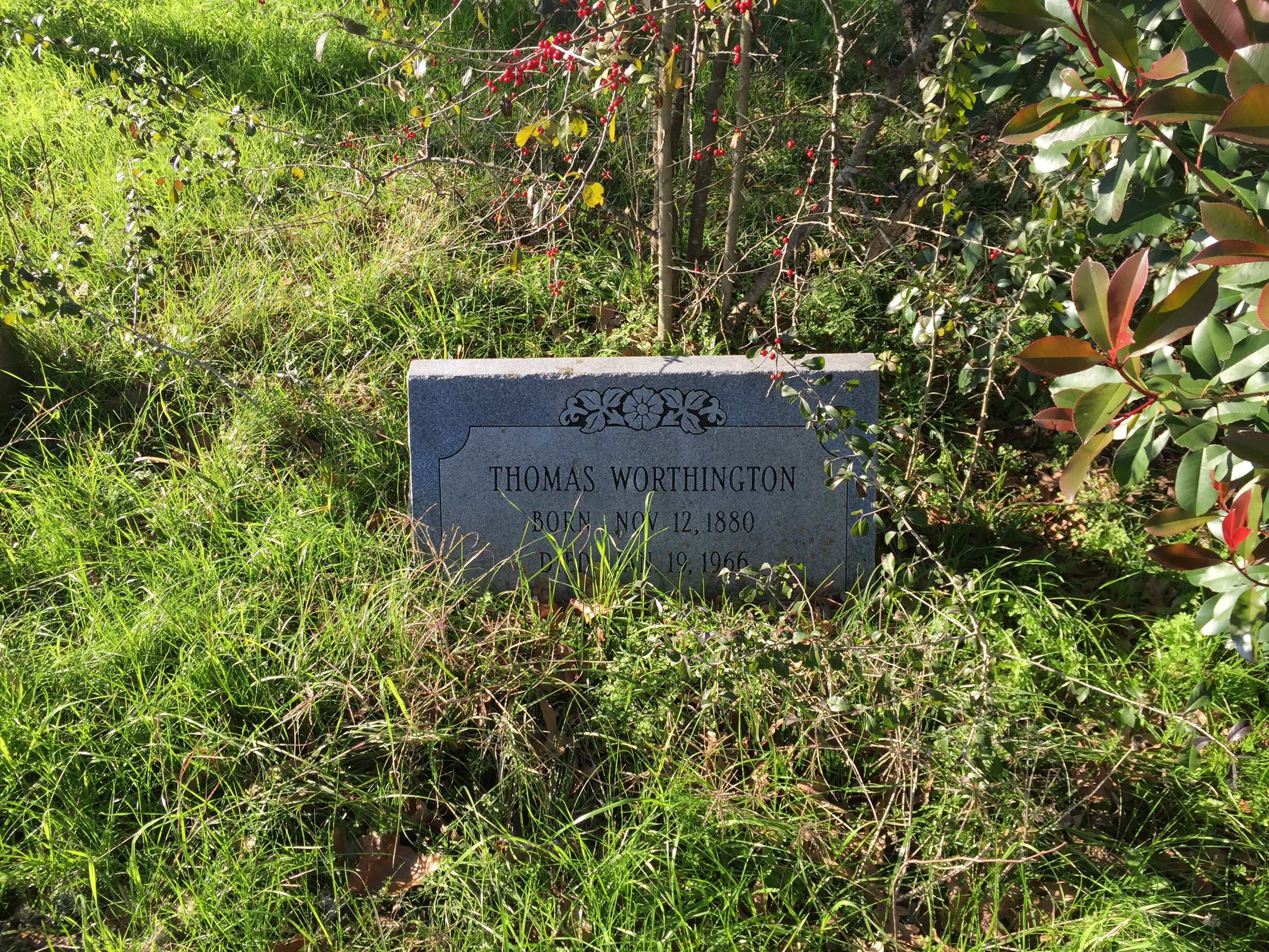
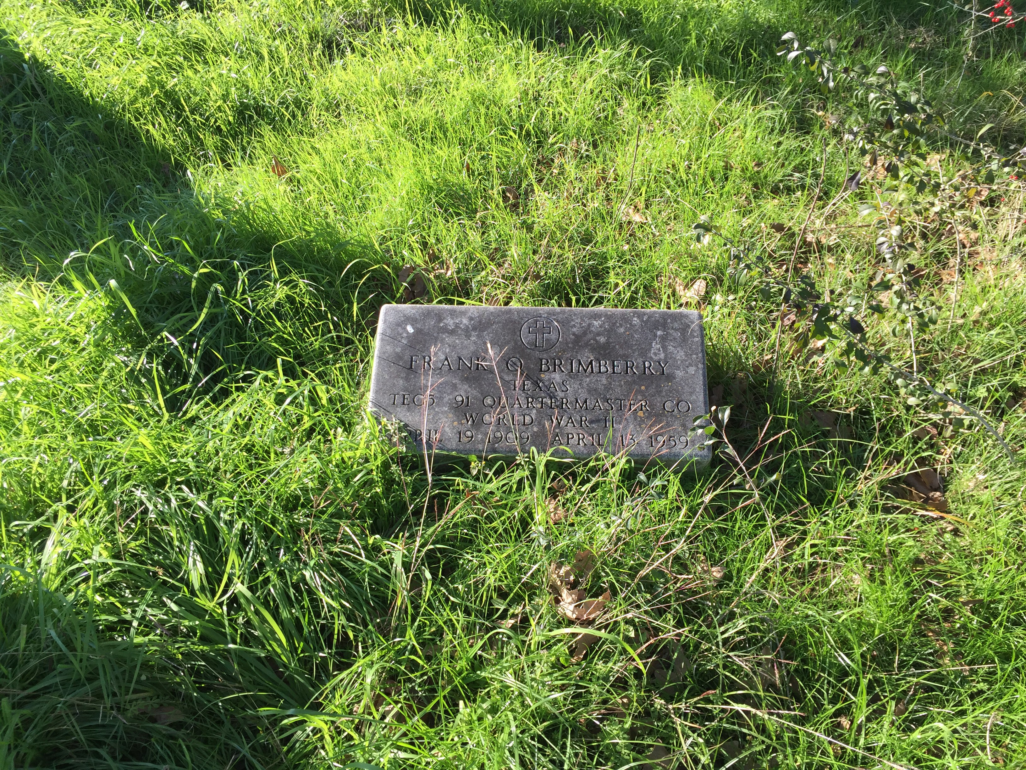
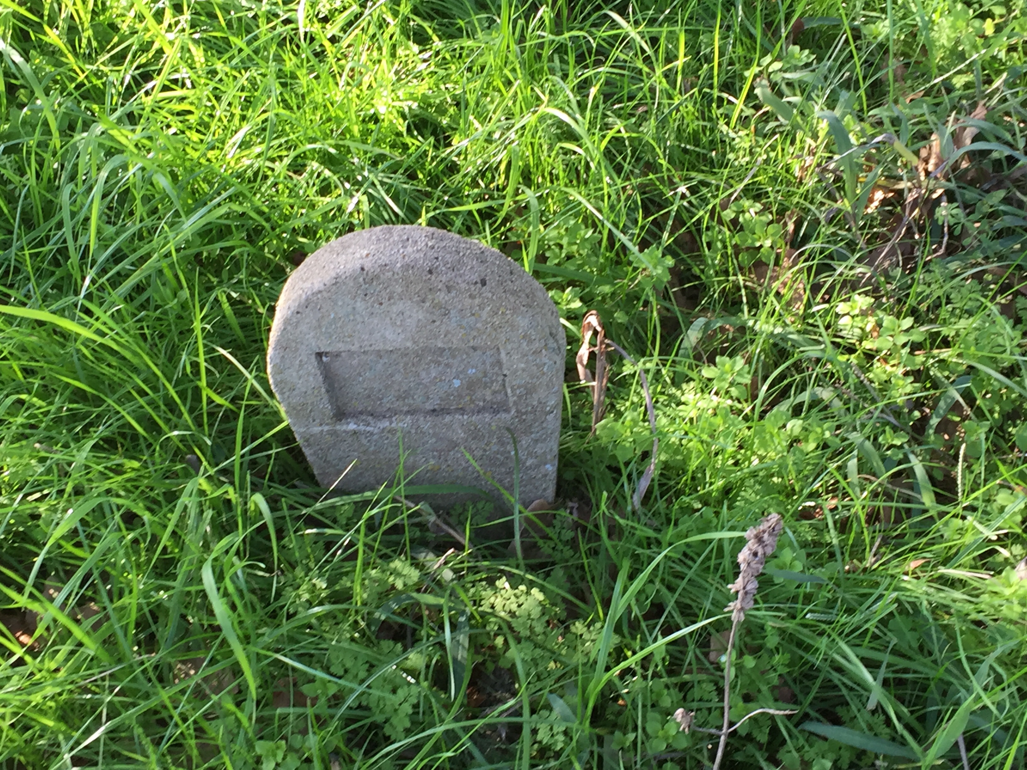
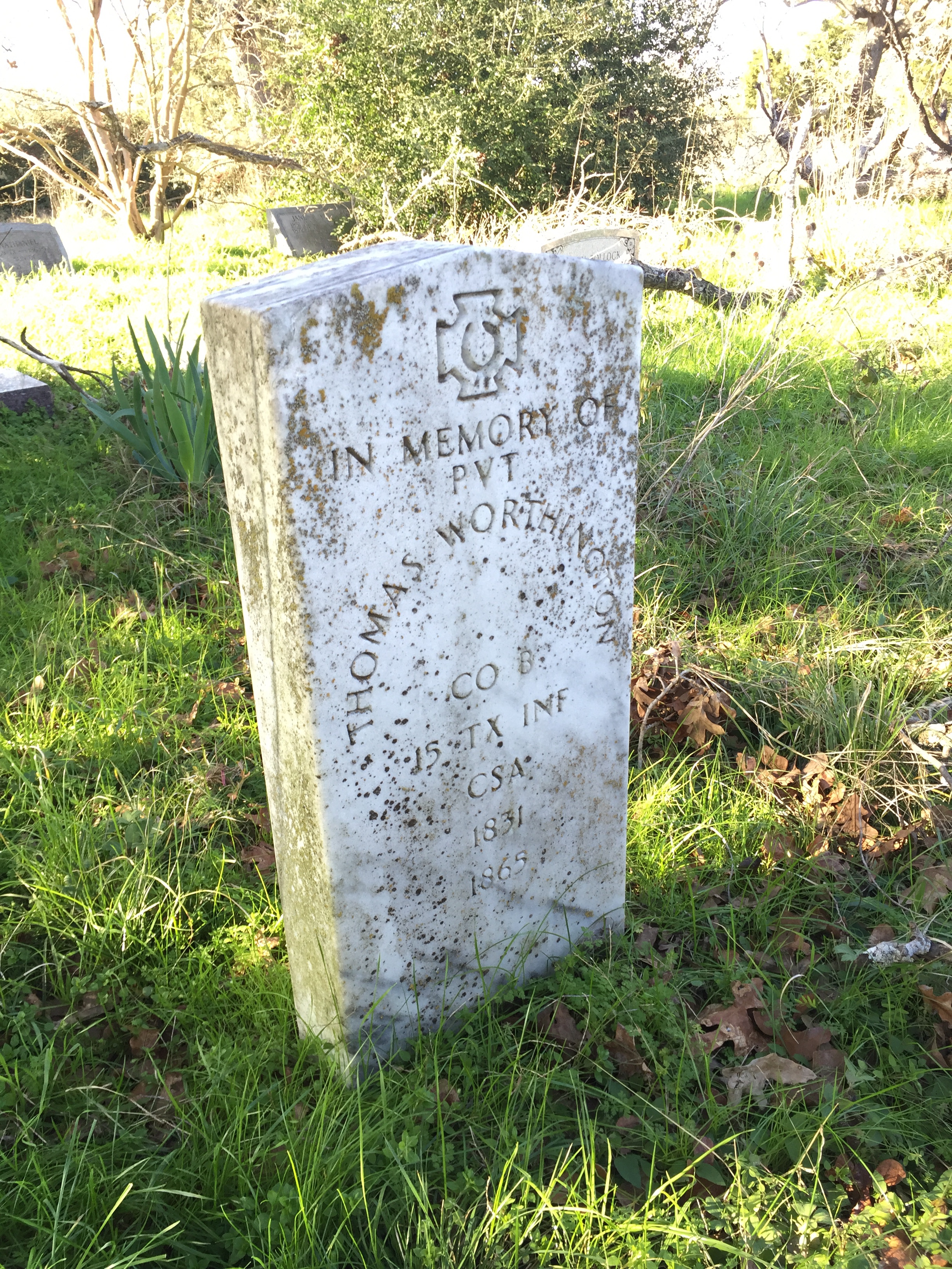
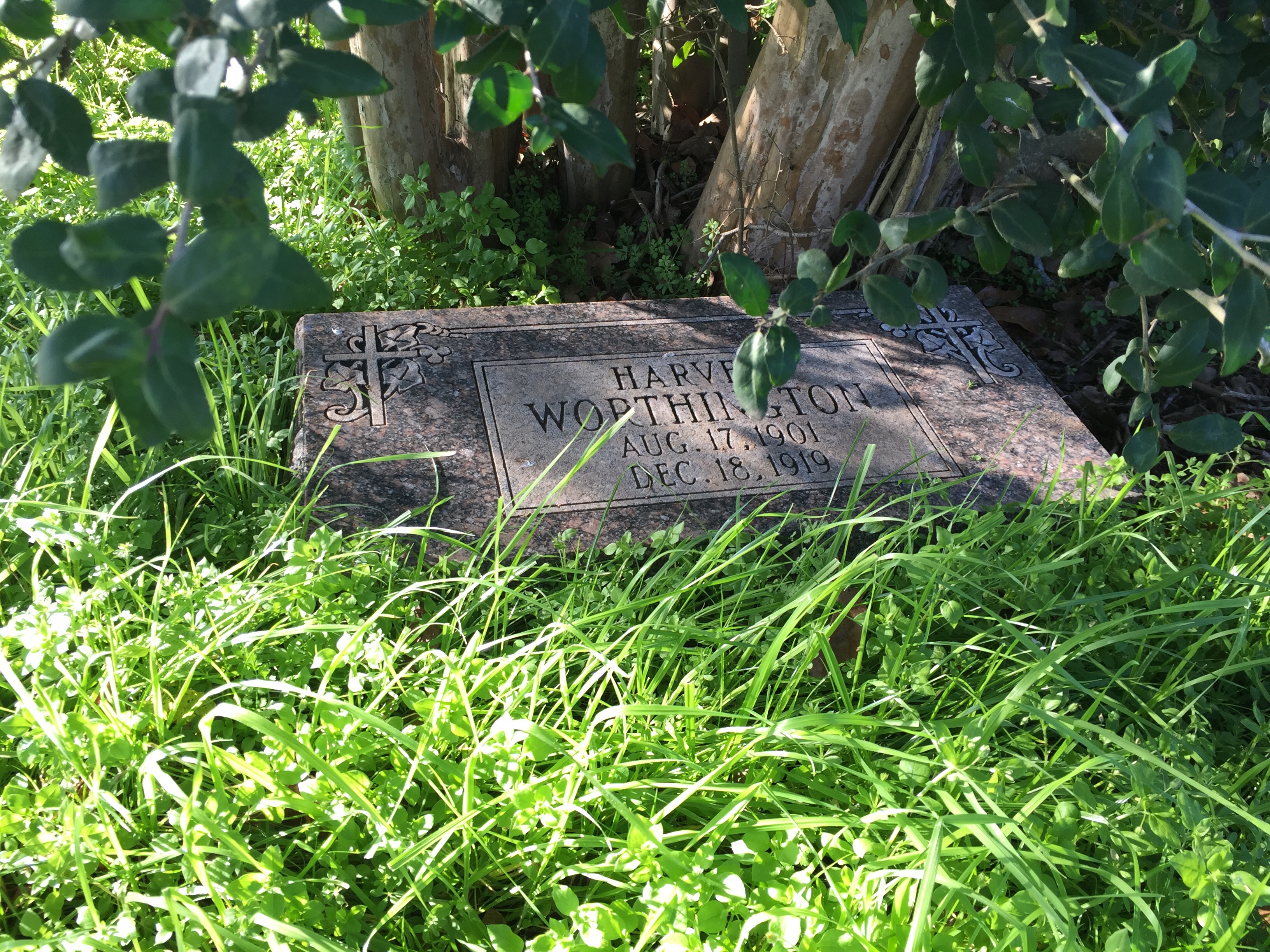
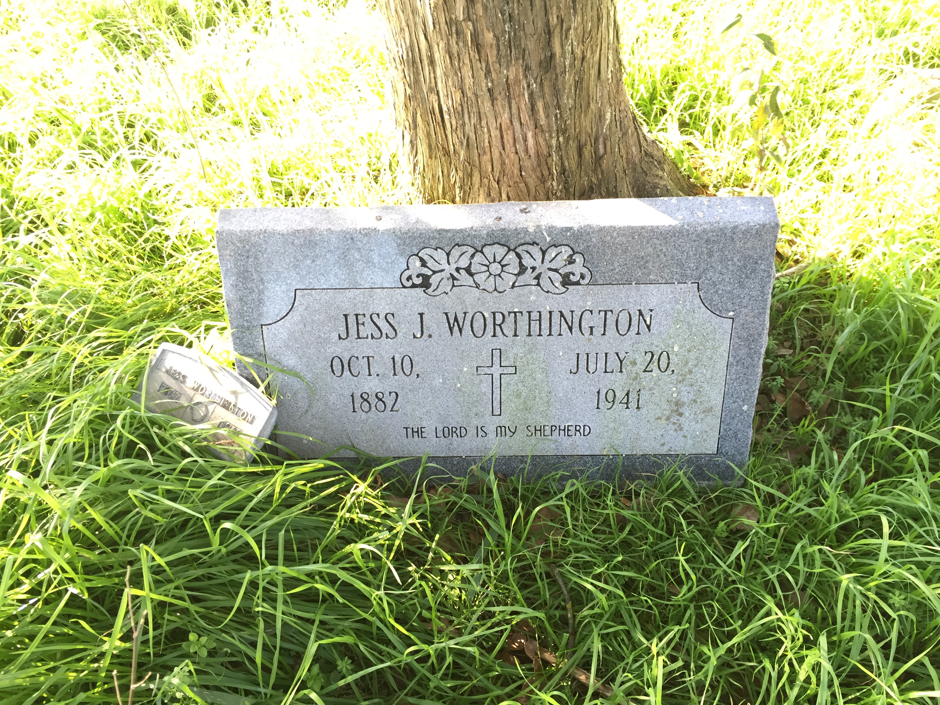
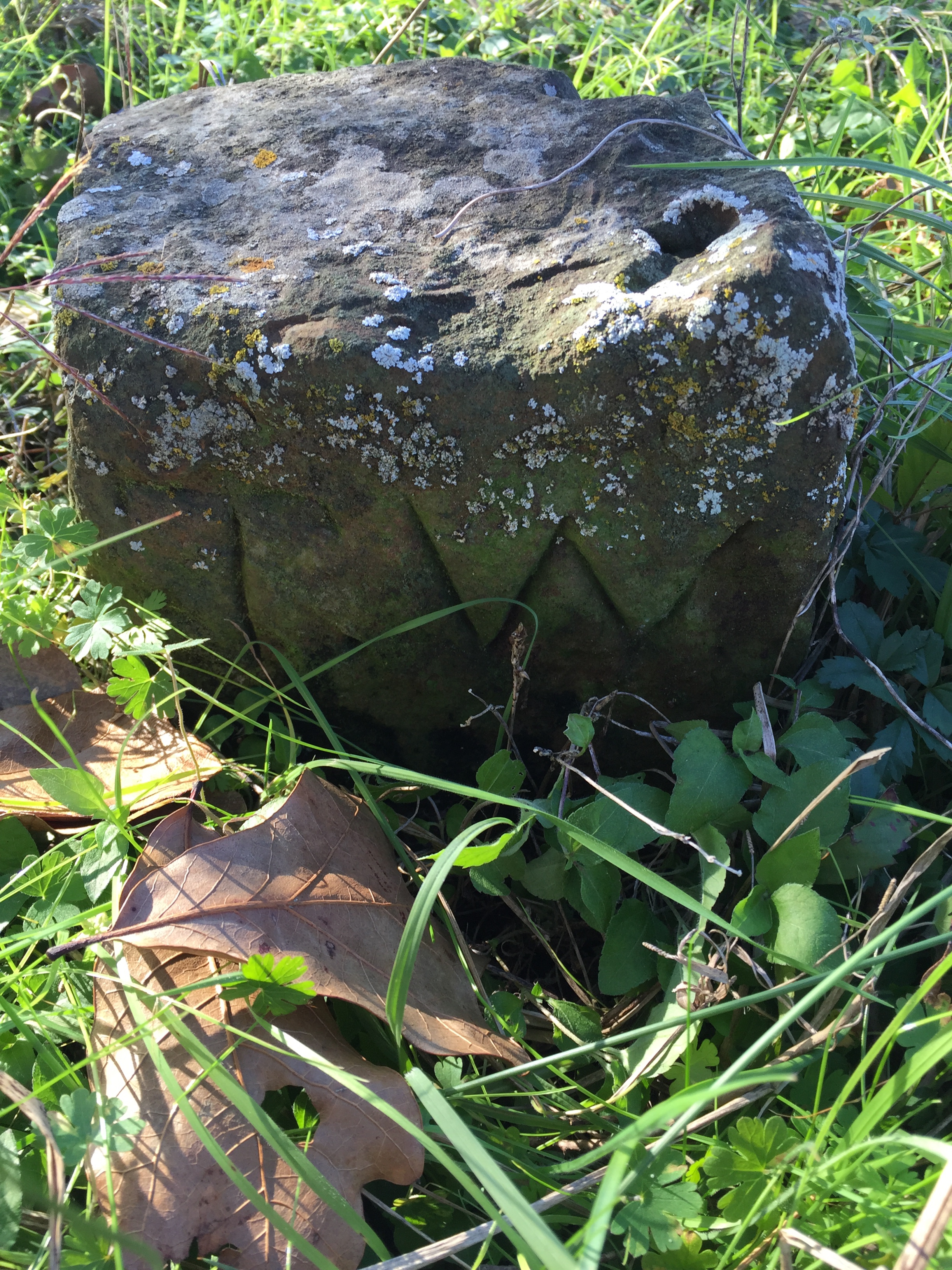
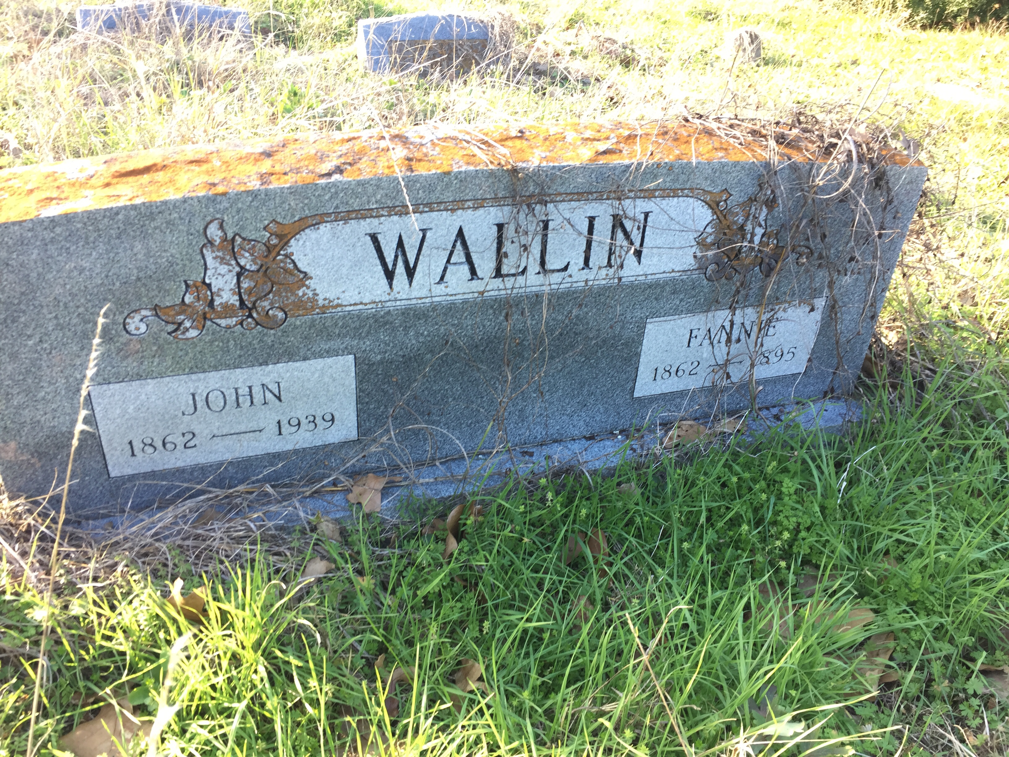
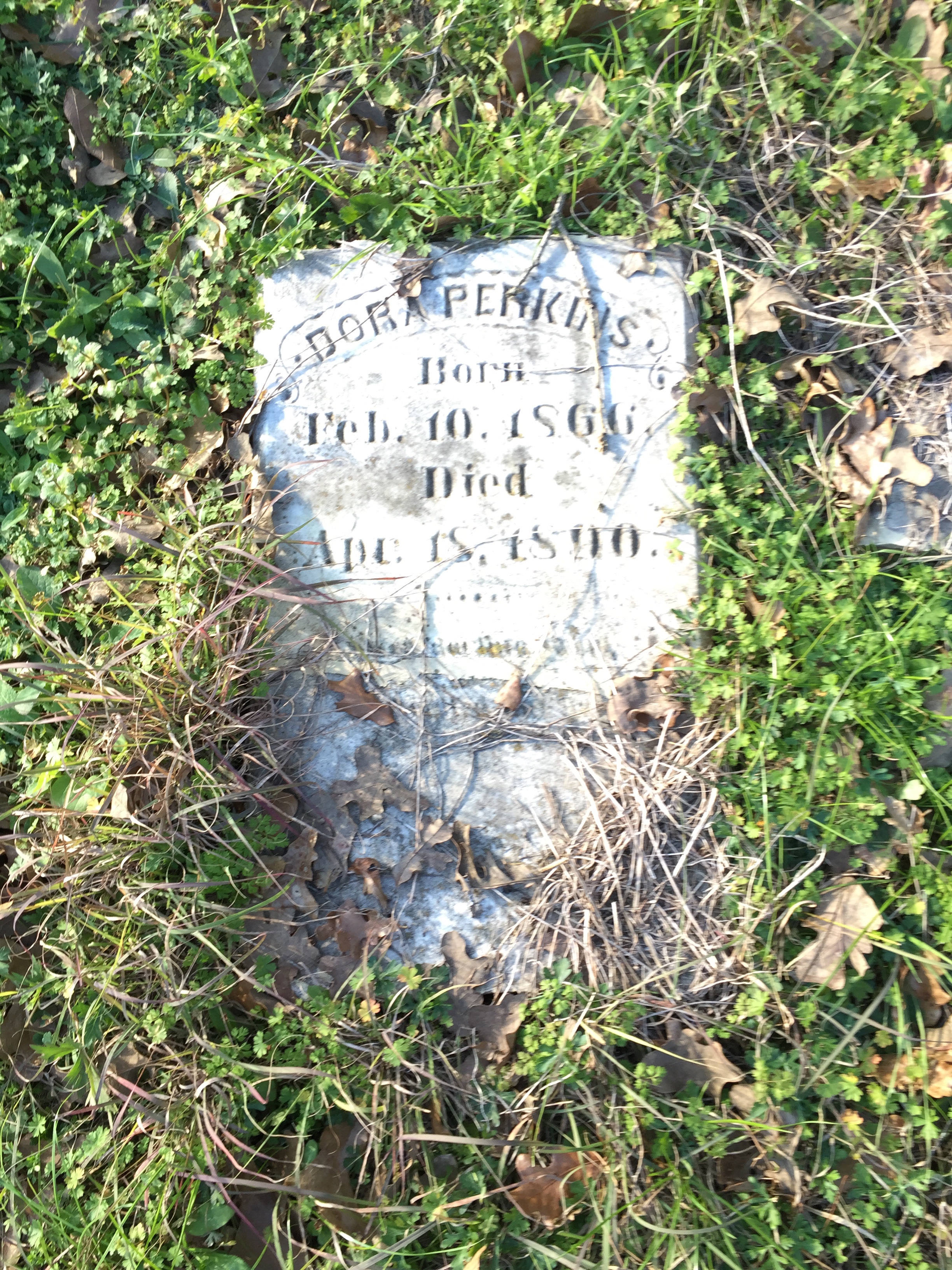
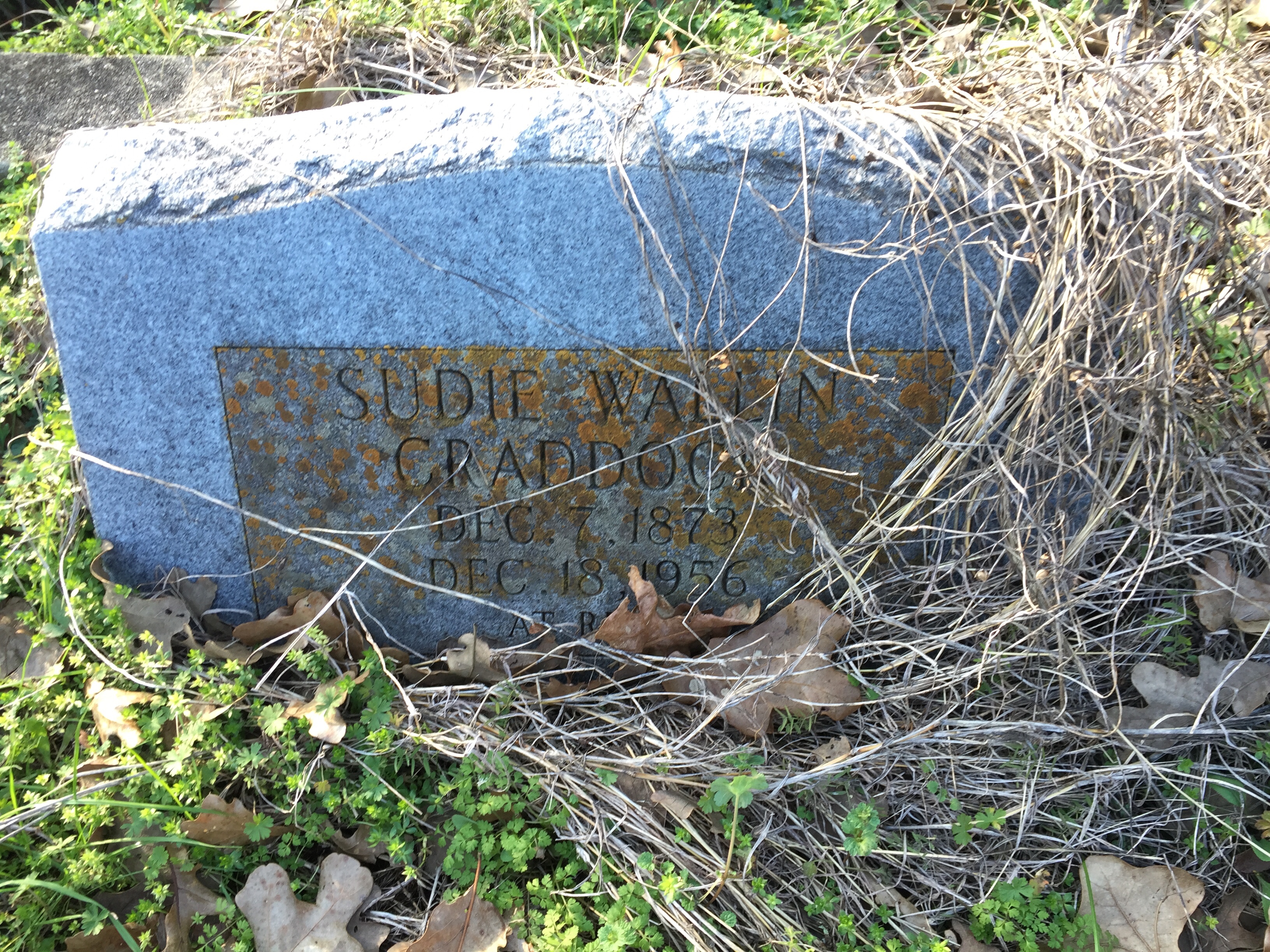
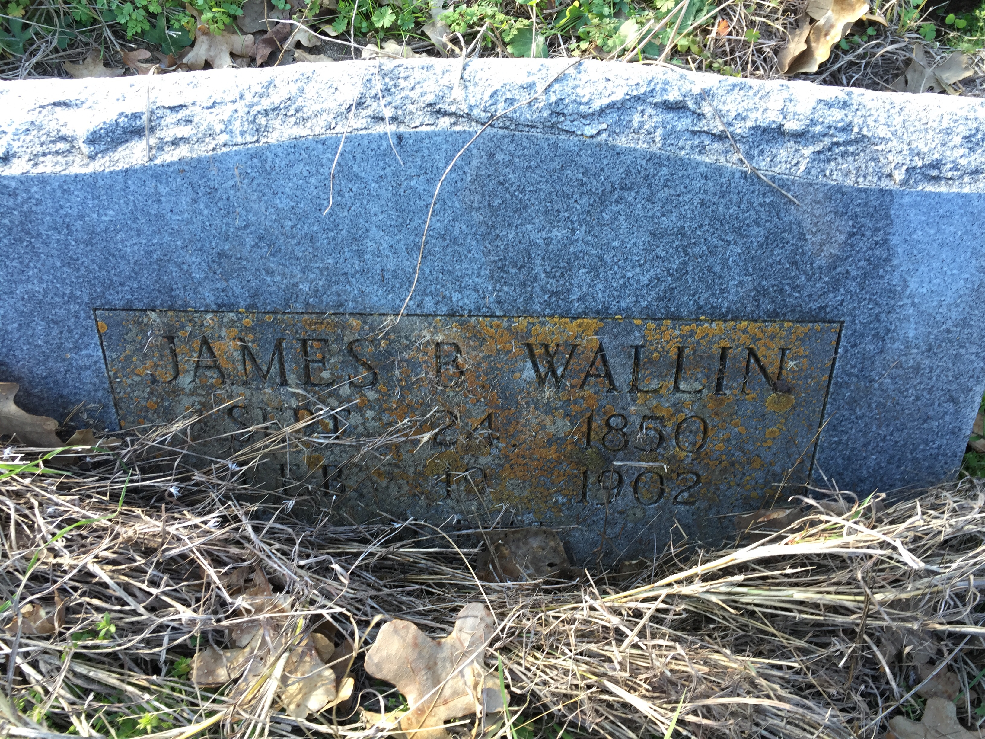
Carr Cemetery
Carr Cemetery

Carr Cemetery

Carr Cemetery
Carr Cemetery
Carr Cemetery
Carr Cemetery

Carr Cemetery
Carr Cemetery
Carr Cemetery
Carr Cemetery

Carr Cemetery
Carr Cemetery
Carr Cemetery
Carr Cemetery

Carr Cemetery
Carr Cemetery
Carr Cemetery
Carr Cemetery

Carr Cemetery
Topographic Map of Caldwell, TX, USA
Find elevation by address:

Places in Caldwell, TX, USA:
Places near Caldwell, TX, USA:
Caldwell, TX, USA
Burleson County
TX-21, Caldwell, TX, USA
10680 Co Rd 244
4805 Co Rd 339
Co Rd, Caldwell, TX, USA
TX-36, Caldwell, TX, USA
Co Rd, Caldwell, TX, USA
Steel Store Rd, Bryan, TX, USA
Little Berry Drive
Dime Box
994 Tx-36
Snook
1201 Marilyn St
Milano
Somerville
501 Fawn Dr
Pvt Road 5012
6108 Fischer Rd
5408 Lake Dr
Recent Searches:
- Elevation of Corso Fratelli Cairoli, 35, Macerata MC, Italy
- Elevation of Tallevast Rd, Sarasota, FL, USA
- Elevation of 4th St E, Sonoma, CA, USA
- Elevation of Black Hollow Rd, Pennsdale, PA, USA
- Elevation of Oakland Ave, Williamsport, PA, USA
- Elevation of Pedrógão Grande, Portugal
- Elevation of Klee Dr, Martinsburg, WV, USA
- Elevation of Via Roma, Pieranica CR, Italy
- Elevation of Tavkvetili Mountain, Georgia
- Elevation of Hartfords Bluff Cir, Mt Pleasant, SC, USA