Elevation of Co Rd, Caldwell, TX, USA
Location: United States > Texas > Burleson County > Caldwell >
Longitude: -96.645802
Latitude: 30.6779651
Elevation: 116m / 381feet
Barometric Pressure: 100KPa
Elevation Map:
Satellite Map:
Related Photos:

Cross In The Sun
223/365 : Country Views
Country Views
Texas A&M University, Riverside

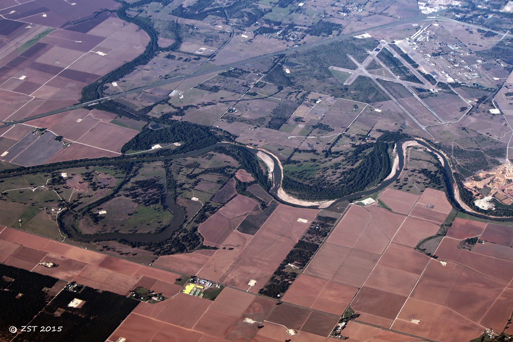
Brazos Bends
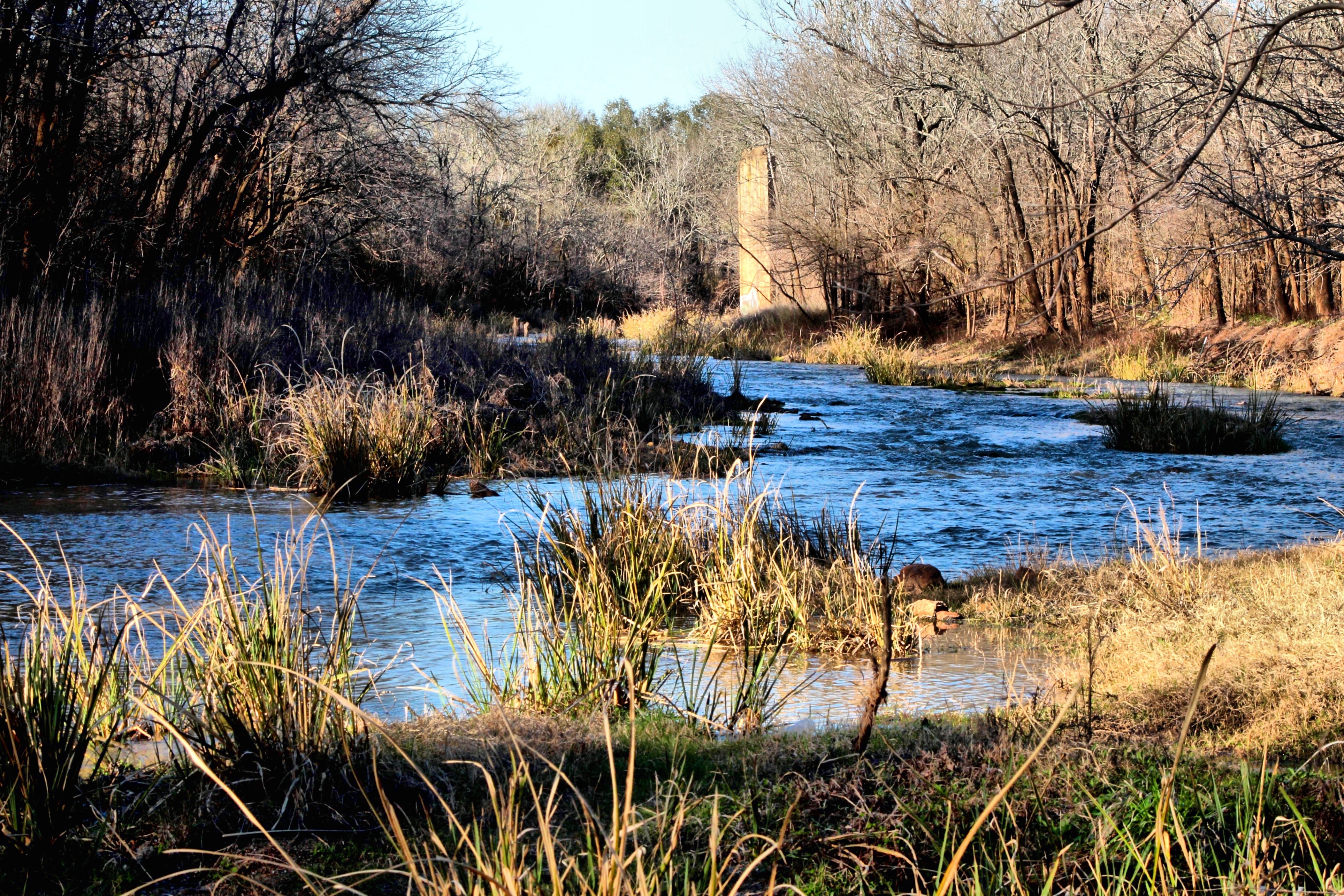
Little Brazos

Day 9: Natchez to Austin

2013 05 Night Trail Run 040
DSCN2308.JPG

2013 05 Night Trail Run 039
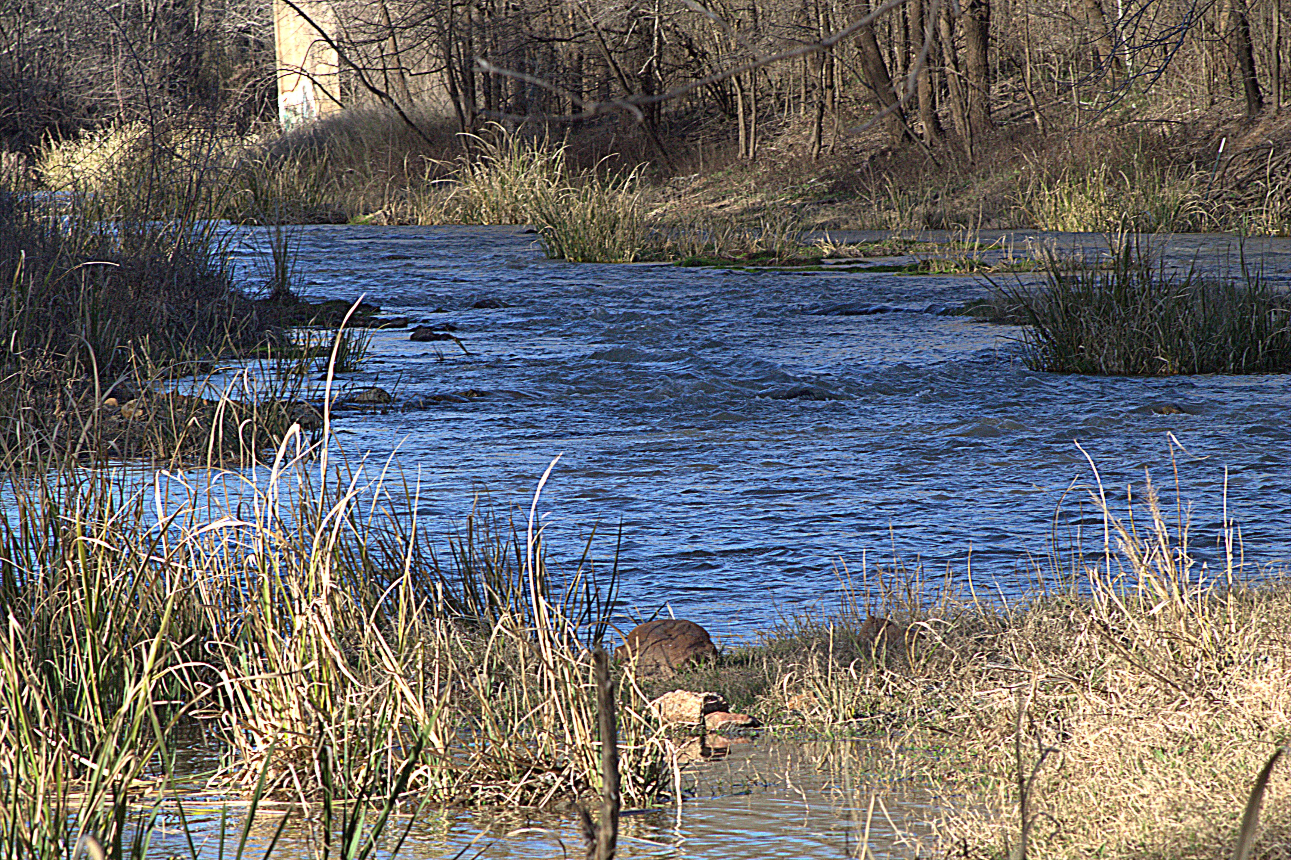
Little Brazos2
Topographic Map of Co Rd, Caldwell, TX, USA
Find elevation by address:

Places near Co Rd, Caldwell, TX, USA:
TX-21, Caldwell, TX, USA
Steel Store Rd, Bryan, TX, USA
Texas 6 Frontage Rd, Bryan, TX, USA
1451 Louis E Mikulin Rd
5408 Lake Dr
1700 Independence Ave
2024 Mountain Wind Loop
1860 W Villa Maria Rd
3509 Club Dr
3404 Mahogany Dr
Bryan
North Country Court
1327 Park St
3625 Wellborn Rd
Bryan's Bend
3625 Wellborn Rd
Miltree
210 E Villa Maria Rd
2018 E 29th St
2018 E 29th St
Recent Searches:
- Elevation of Corso Fratelli Cairoli, 35, Macerata MC, Italy
- Elevation of Tallevast Rd, Sarasota, FL, USA
- Elevation of 4th St E, Sonoma, CA, USA
- Elevation of Black Hollow Rd, Pennsdale, PA, USA
- Elevation of Oakland Ave, Williamsport, PA, USA
- Elevation of Pedrógão Grande, Portugal
- Elevation of Klee Dr, Martinsburg, WV, USA
- Elevation of Via Roma, Pieranica CR, Italy
- Elevation of Tavkvetili Mountain, Georgia
- Elevation of Hartfords Bluff Cir, Mt Pleasant, SC, USA