Elevation of Twin Church Rd, Scotts Hill, TN, USA
Location: United States > Tennessee > Decatur County > Scotts Hill >
Longitude: -88.220688
Latitude: 35.4406345
Elevation: 144m / 472feet
Barometric Pressure: 100KPa
Elevation Map:
Satellite Map:
Related Photos:

DSC09900

DSC03927

DSC09898

Antique Store Window

Doe Creek School

Doe Creek School

Girl's Room

True Shotgun House

Rushing Creek Primitive Baptist Church - Decatur County, TN

Corn Crib

Teacher's Desk

Parker Building

Meady White House

Parker House

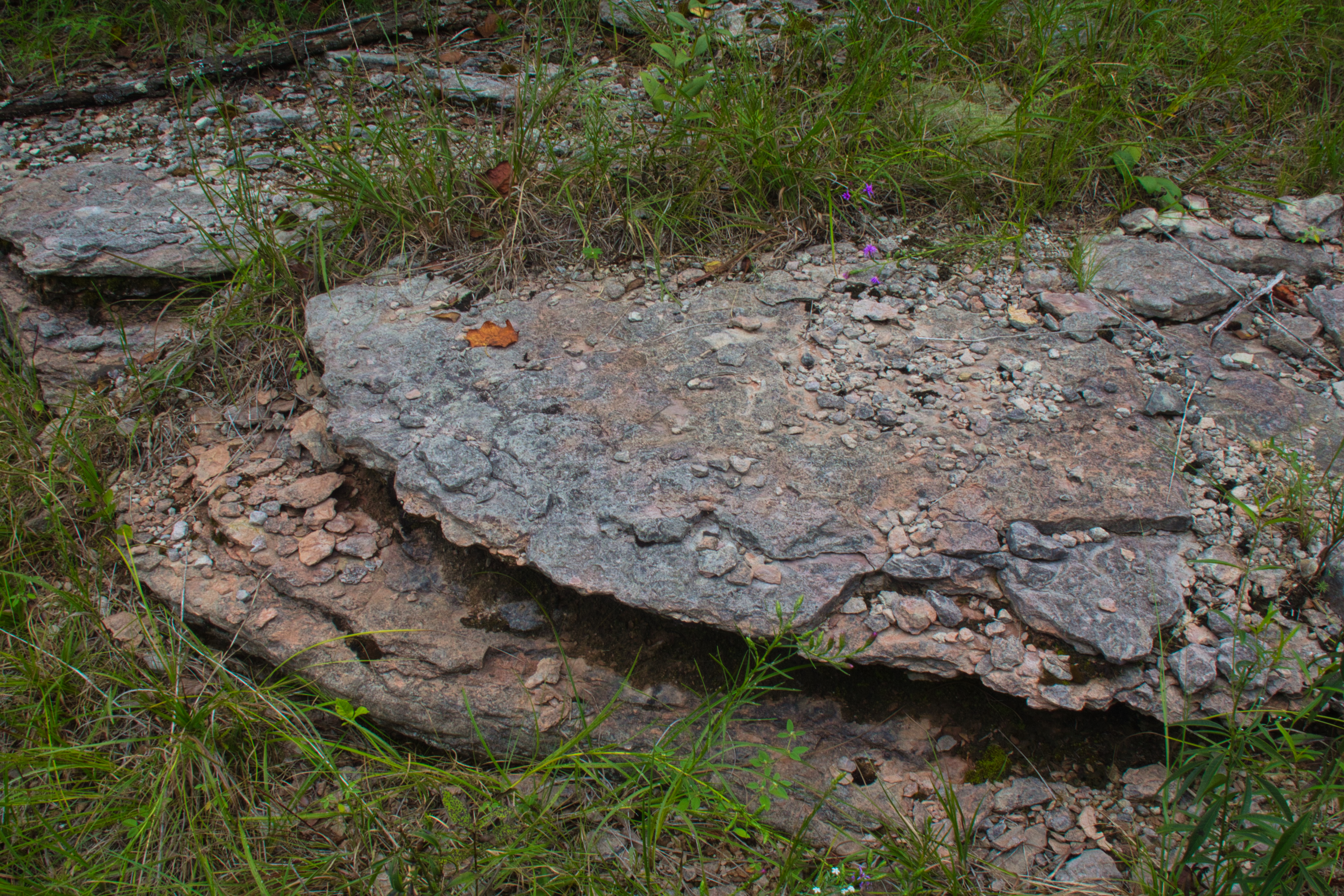
Carroll Cabin Barrens

Carroll Cabin Barrens

Carroll Cabin Barrens
Carroll Cabin Barrens

Carroll Cabin Barrens

Carroll Cabin Barrens

Carroll Cabin Barrens

Carroll Cabin Barrens

Carroll Cabin Barrens

Carroll Cabin Barrens
Topographic Map of Twin Church Rd, Scotts Hill, TN, USA
Find elevation by address:

Places near Twin Church Rd, Scotts Hill, TN, USA:
Liberty Rd, Scotts Hill, TN, USA
650 Coy Johnson Rd
TN-, Scotts Hill, TN, USA
Saltillo Cemetery
11090 Brooksie Thompson Rd
Saltillo
Saltillo Fire Department
Saltillo Police Department
Saltillo Road
110 Holland St
2035 Wilkinson Ferry Dr
395 Dorothy Ann Ln
1775 Wilkinson Ferry Dr
Dorothy Ann Ln, Saltillo, TN, USA
703 Attaway Ln
39 Point Way
Wilkinson Ferry Drive
7198 Tn-69
2950 Russell Chapel Ln
5897 Tn-69
Recent Searches:
- Elevation of Corso Fratelli Cairoli, 35, Macerata MC, Italy
- Elevation of Tallevast Rd, Sarasota, FL, USA
- Elevation of 4th St E, Sonoma, CA, USA
- Elevation of Black Hollow Rd, Pennsdale, PA, USA
- Elevation of Oakland Ave, Williamsport, PA, USA
- Elevation of Pedrógão Grande, Portugal
- Elevation of Klee Dr, Martinsburg, WV, USA
- Elevation of Via Roma, Pieranica CR, Italy
- Elevation of Tavkvetili Mountain, Georgia
- Elevation of Hartfords Bluff Cir, Mt Pleasant, SC, USA