Elevation of TN-69, Bath Springs, TN, USA
Location: United States > Tennessee > Decatur County > Bath Springs >
Longitude: -88.142092
Latitude: 35.395389
Elevation: 135m / 443feet
Barometric Pressure: 100KPa
Elevation Map:
Satellite Map:
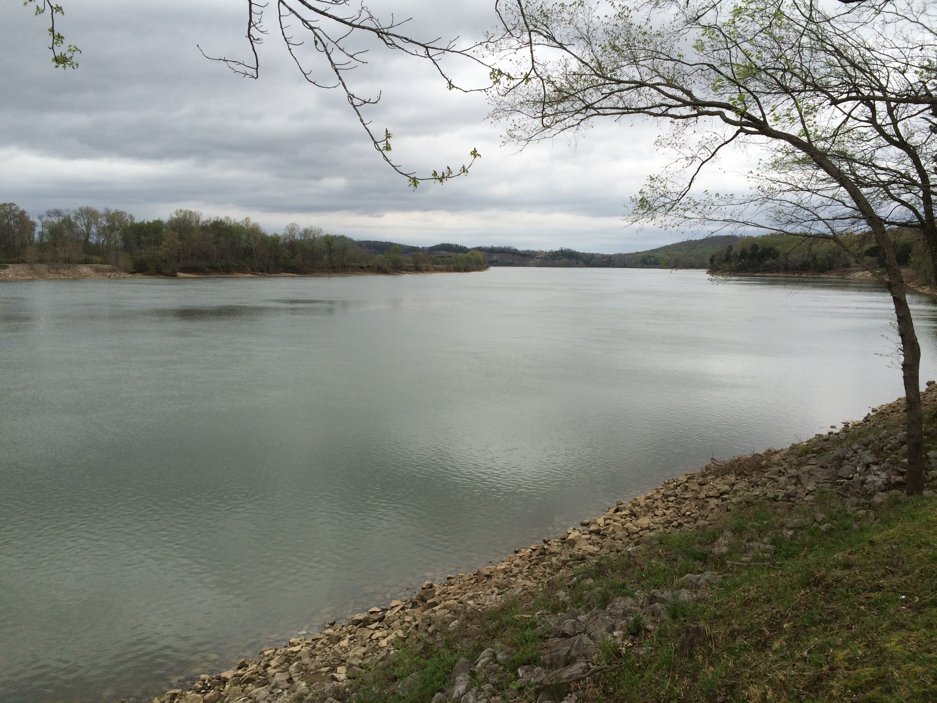
Related Photos:

USPS - Clifton, TN

Dueling laptops

At Turner Creek

DSCF8848-Pano v1.jpg

DSCF8843.jpg

FullSizeRender 196

FullSizeRender 197
Topographic Map of TN-69, Bath Springs, TN, USA
Find elevation by address:

Places near TN-69, Bath Springs, TN, USA:
703 Attaway Ln
2950 Russell Chapel Ln
11090 Brooksie Thompson Rd
5897 Tn-69
Wilkinson Ferry Drive
2035 Wilkinson Ferry Dr
1775 Wilkinson Ferry Dr
110 Holland St
Saltillo
Saltillo Cemetery
395 Dorothy Ann Ln
Bath Springs
Saltillo Police Department
Saltillo Fire Department
Dorothy Ann Ln, Saltillo, TN, USA
39 Point Way
Tennessee 128
Saltillo Road
Eagle Nest Landing
Liberty Rd, Scotts Hill, TN, USA
Recent Searches:
- Elevation of Corso Fratelli Cairoli, 35, Macerata MC, Italy
- Elevation of Tallevast Rd, Sarasota, FL, USA
- Elevation of 4th St E, Sonoma, CA, USA
- Elevation of Black Hollow Rd, Pennsdale, PA, USA
- Elevation of Oakland Ave, Williamsport, PA, USA
- Elevation of Pedrógão Grande, Portugal
- Elevation of Klee Dr, Martinsburg, WV, USA
- Elevation of Via Roma, Pieranica CR, Italy
- Elevation of Tavkvetili Mountain, Georgia
- Elevation of Hartfords Bluff Cir, Mt Pleasant, SC, USA