Elevation of Dorothy Ann Ln, Saltillo, TN, USA
Location: United States > Tennessee > Hardin County > Saltillo >
Longitude: -88.207033
Latitude: 35.369393
Elevation: 122m / 400feet
Barometric Pressure: 100KPa
Elevation Map:
Satellite Map:
Related Photos:

DSC03927

McNairy Co., TN

Church of Christ
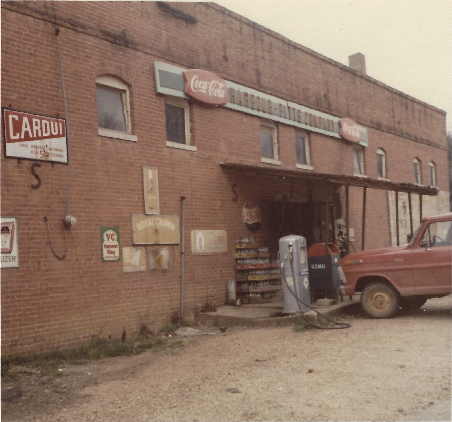
Harbour-Pitts Company General Store
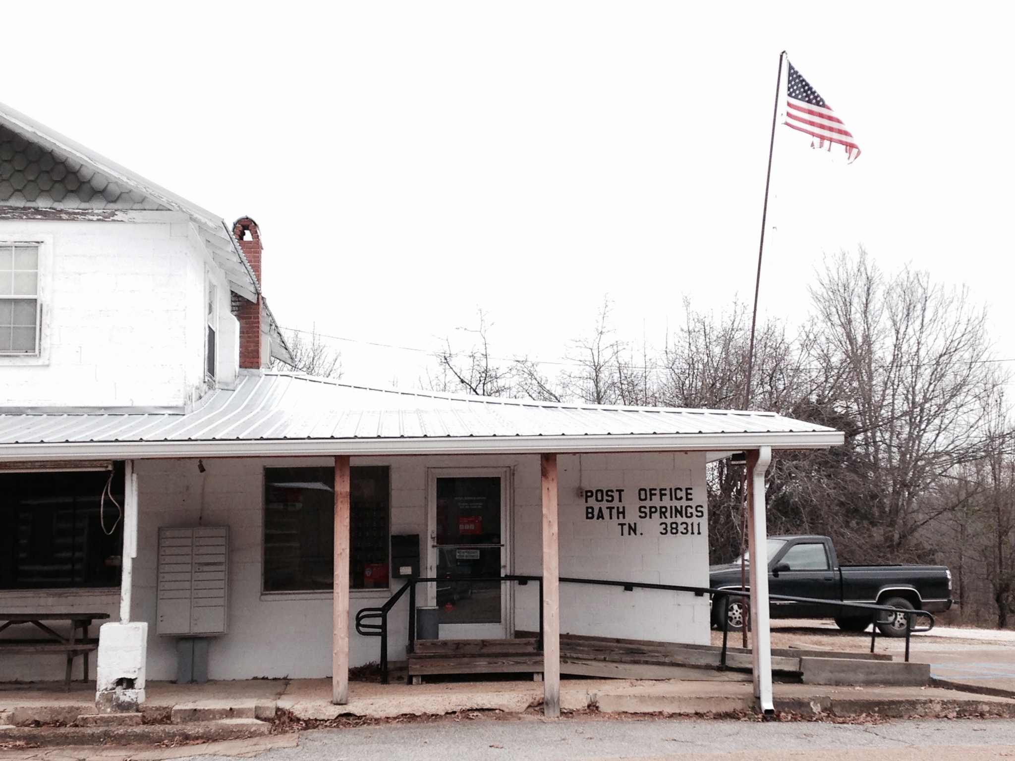
USPS - Bath Springs, TN
Topographic Map of Dorothy Ann Ln, Saltillo, TN, USA
Find elevation by address:

Places near Dorothy Ann Ln, Saltillo, TN, USA:
110 Holland St
Dorothy Ann Ln, Saltillo, TN, USA
Saltillo Police Department
Saltillo Fire Department
Saltillo
39 Point Way
1775 Wilkinson Ferry Dr
Saltillo Road
2035 Wilkinson Ferry Dr
Saltillo Cemetery
Wilkinson Ferry Drive
703 Attaway Ln
2950 Russell Chapel Ln
7198 Tn-69
512 Twin Church Rd
11090 Brooksie Thompson Rd
Liberty Rd, Scotts Hill, TN, USA
650 Coy Johnson Rd
Tennessee 128
5897 Tn-69
Recent Searches:
- Elevation of Corso Fratelli Cairoli, 35, Macerata MC, Italy
- Elevation of Tallevast Rd, Sarasota, FL, USA
- Elevation of 4th St E, Sonoma, CA, USA
- Elevation of Black Hollow Rd, Pennsdale, PA, USA
- Elevation of Oakland Ave, Williamsport, PA, USA
- Elevation of Pedrógão Grande, Portugal
- Elevation of Klee Dr, Martinsburg, WV, USA
- Elevation of Via Roma, Pieranica CR, Italy
- Elevation of Tavkvetili Mountain, Georgia
- Elevation of Hartfords Bluff Cir, Mt Pleasant, SC, USA