Elevation of Twilly Loop, Quinton, AL, USA
| Latitude | 33.6630151 |
|---|---|
| Longitude | -87.0862329 |
| Elevation | 117m / 384feet |
| Barometric Pressure | 999KPa |
Related Photos:
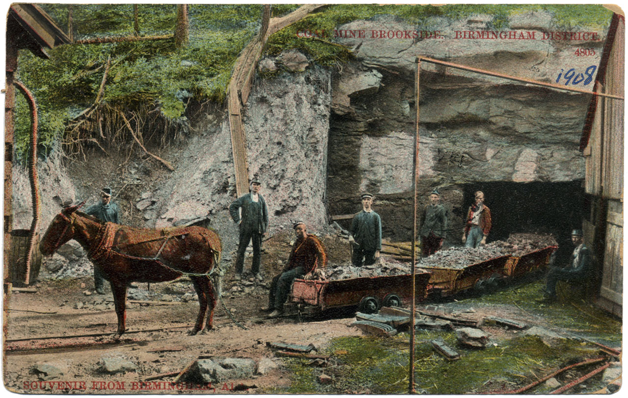
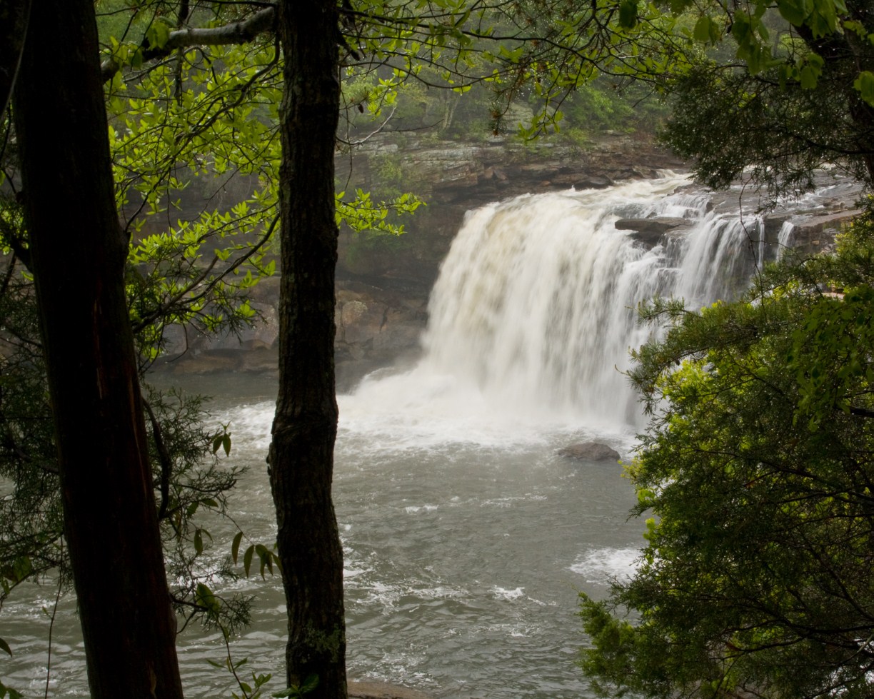
Coal Mine Brookside
951 Eastbound
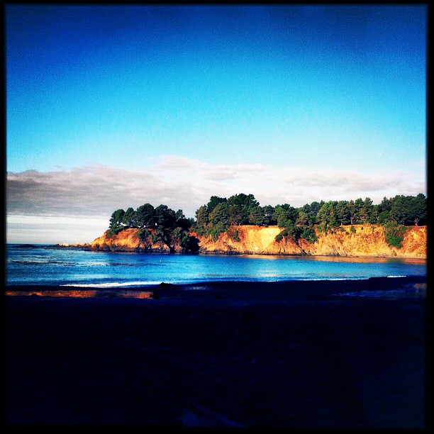
Cali Coast
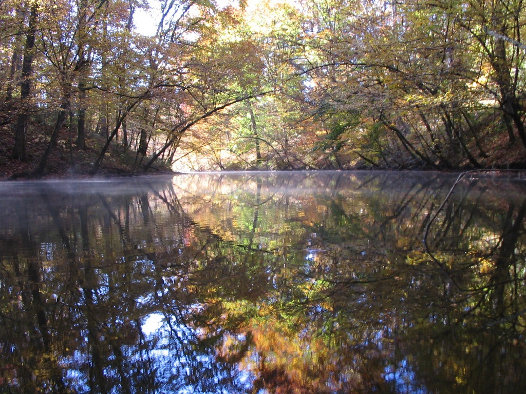
Fall Of '09 52
IMG_1058_edited-1

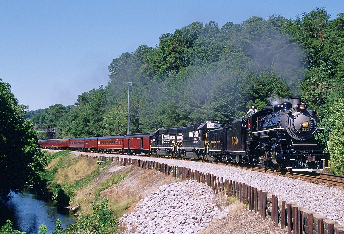
NS Train 21R
american face dust

Rolling Hills
Pier at Howton's
Ethan Graduation 2012
Topographic Map of Twilly Loop, Quinton, AL, USA
Find elevation by address:
Places near Twilly Loop, Quinton, AL, USA:
Quinton
Riverdale St, Quinton, AL, USA
1813 K D Byrd Station Rd
Kd Byrd Station
River Front Dr, Cordova, AL, USA
Palos Cir, Quinton, AL, USA
Glover Rd, Dora, AL, USA
Bryan Rd, Dora, AL, USA
Lacy Rd, Quinton, AL, USA
Black Camp Rd, Quinton, AL, USA
Woodruff Mill Rd, Adamsville, AL, USA
Kilgore Church Rd, Dora, AL, USA
Dora
Littleton Sayre Rd, Graysville, AL, USA
Dovertown Rd, Cordova, AL, USA
Hwy 78, Dora, AL, USA
Brents Cutoff, Dora, AL, USA
Old Jasper Hwy, Graysville, AL, USA
Graysville
8th Ave NE, Graysville, AL, USA
Recent Searches:
- Elevation of 104, Chancery Road, Middletown Township, Bucks County, Pennsylvania, 19047, USA
- Elevation of 1212, Cypress Lane, Dayton, Liberty County, Texas, 77535, USA
- Elevation map of Central Hungary, Hungary
- Elevation map of Pest, Central Hungary, Hungary
- Elevation of Pilisszentkereszt, Pest, Central Hungary, Hungary
- Elevation of Dharamkot Tahsil, Punjab, India
- Elevation of Bhinder Khurd, Dharamkot Tahsil, Punjab, India
- Elevation of 2881, Chabot Drive, San Bruno, San Mateo County, California, 94066, USA
- Elevation of 10370, West 107th Circle, Westminster, Jefferson County, Colorado, 80021, USA
- Elevation of 611, Roman Road, Old Ford, Bow, London, England, E3 2RW, United Kingdom
- Elevation of 116, Beartown Road, Underhill, Chittenden County, Vermont, 05489, USA
- Elevation of Window Rock, Colfax County, New Mexico, 87714, USA
- Elevation of 4807, Rosecroft Street, Kempsville Gardens, Virginia Beach, Virginia, 23464, USA
- Elevation map of Matawinie, Quebec, Canada
- Elevation of Sainte-Émélie-de-l'Énergie, Matawinie, Quebec, Canada
- Elevation of Rue du Pont, Sainte-Émélie-de-l'Énergie, Matawinie, Quebec, J0K2K0, Canada
- Elevation of 8, Rue de Bécancour, Blainville, Thérèse-De Blainville, Quebec, J7B1N2, Canada
- Elevation of Wilmot Court North, 163, University Avenue West, Northdale, Waterloo, Region of Waterloo, Ontario, N2L6B6, Canada
- Elevation map of Panamá Province, Panama
- Elevation of Balboa, Panamá Province, Panama