Elevation of Old Jasper Hwy, Graysville, AL, USA
| Latitude | 33.677065 |
|---|---|
| Longitude | -86.966857 |
| Elevation | 115m / 377feet |
| Barometric Pressure | 1000KPa |
Related Photos:
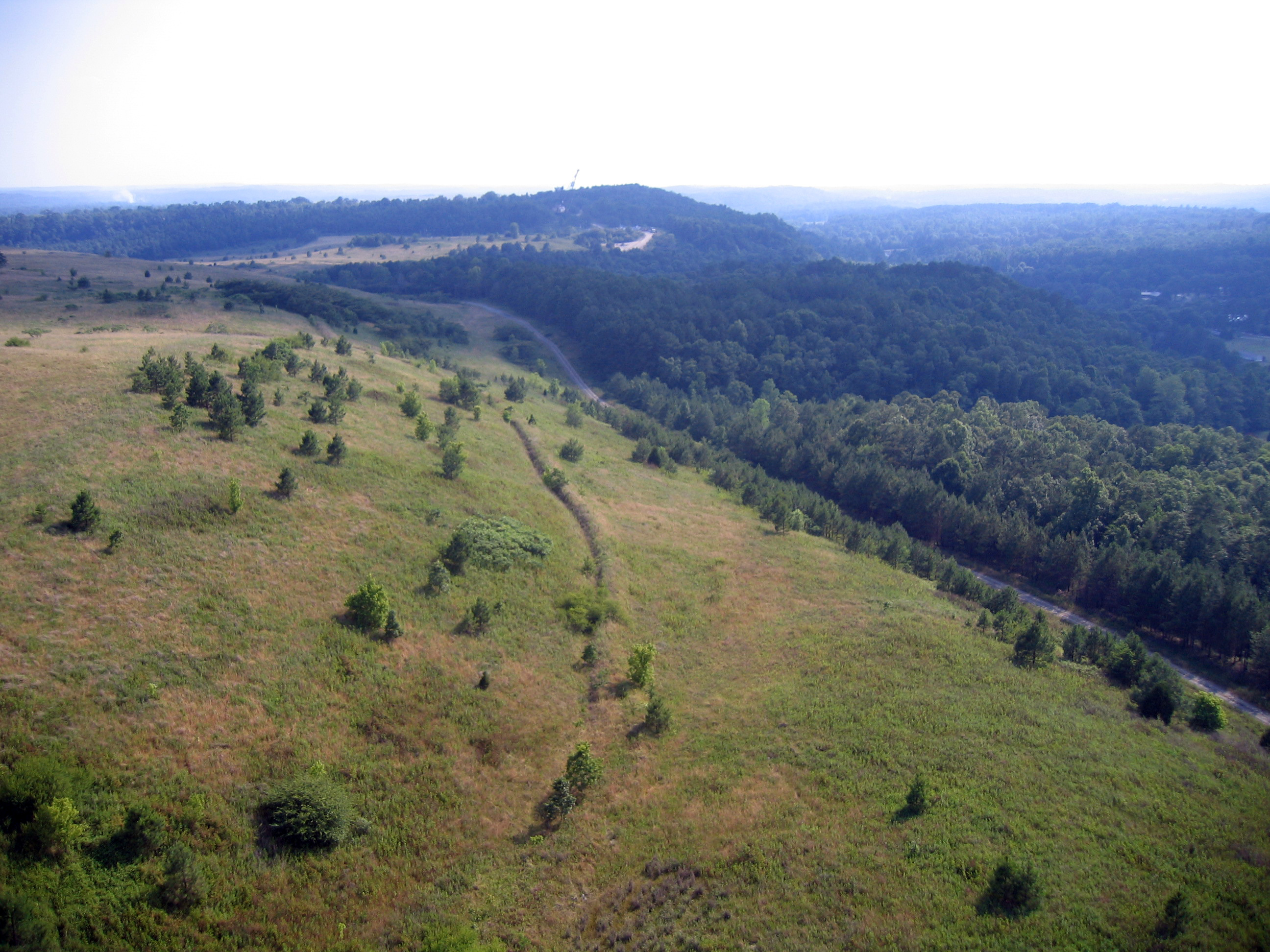
Crazy Clouds
951 Eastbound
Coal Mine Brookside
the ominous underside
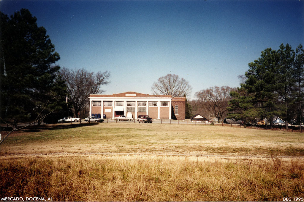
Docena mercado
american face dust
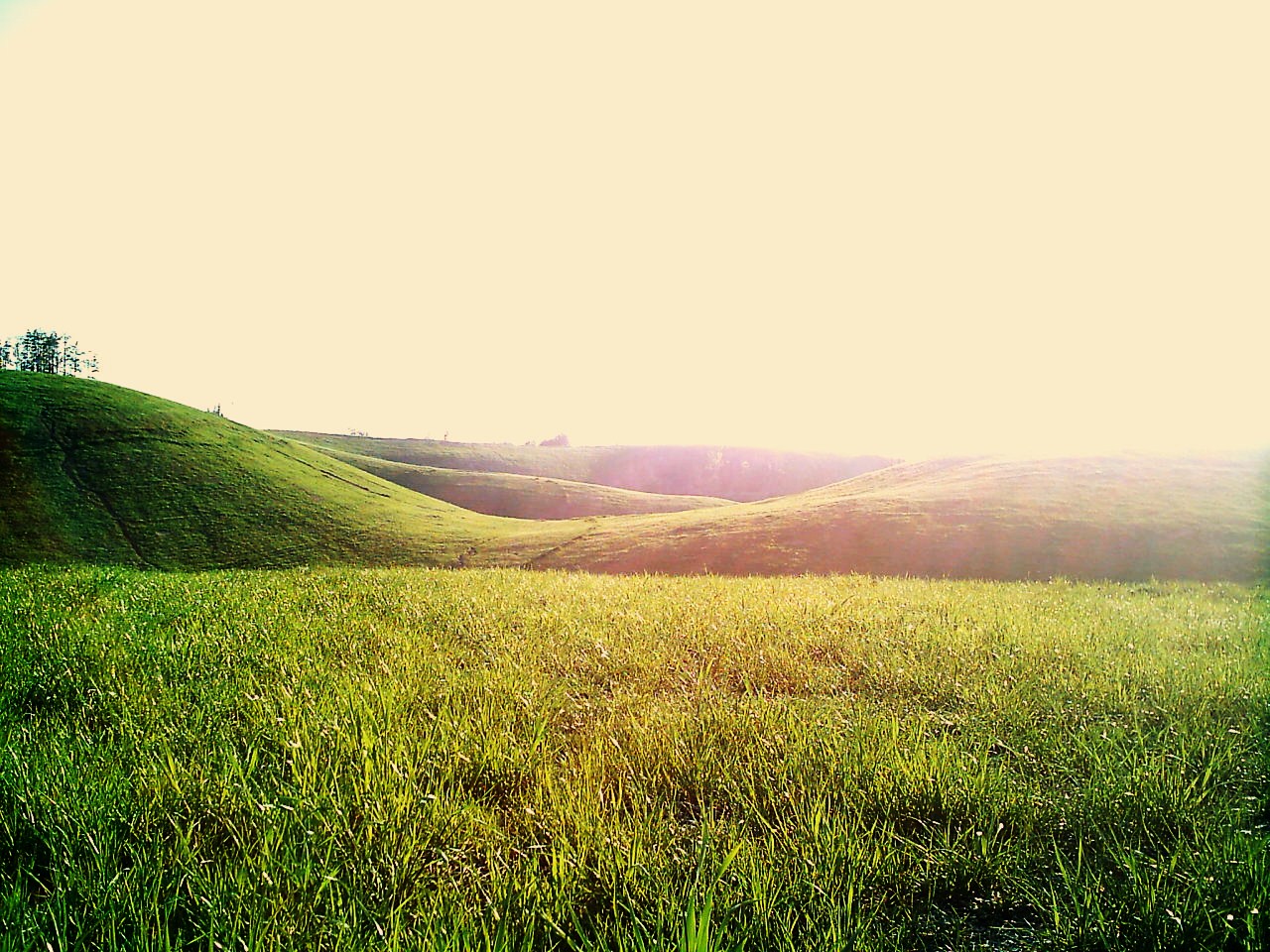
Rolling Hills
Fall Of '09 52
Knob Mine Bucyrus Erie 1570 Walking Dragline

Knob Mine Bucyrus 1260 Dragline
Birmingham,-AL-2013
Dreary in Alabama
Topographic Map of Old Jasper Hwy, Graysville, AL, USA
Find elevation by address:
Places near Old Jasper Hwy, Graysville, AL, USA:
Littleton Sayre Rd, Graysville, AL, USA
8th Ave NE, Graysville, AL, USA
Brents Cutoff, Dora, AL, USA
Cherry Ave, Graysville, AL, USA
Graysville
Hwy 78, Dora, AL, USA
Cherry Ave, Graysville, AL, USA
9th St SE, Graysville, AL, USA
7631 Forestwood Cir
Kilgore Church Rd, Dora, AL, USA
Brookside
Price St, Graysville, AL, USA
Mt Olive, AL, USA
Forestdale Bend Rd, Birmingham, AL, USA
8143 Bagley Rd
Adamsville
Palos Cir, Quinton, AL, USA
Bryan Rd, Dora, AL, USA
Azalea Ln, Adamsville, AL, USA
1275 Mcpherson Rd
Recent Searches:
- Elevation of 104, Chancery Road, Middletown Township, Bucks County, Pennsylvania, 19047, USA
- Elevation of 1212, Cypress Lane, Dayton, Liberty County, Texas, 77535, USA
- Elevation map of Central Hungary, Hungary
- Elevation map of Pest, Central Hungary, Hungary
- Elevation of Pilisszentkereszt, Pest, Central Hungary, Hungary
- Elevation of Dharamkot Tahsil, Punjab, India
- Elevation of Bhinder Khurd, Dharamkot Tahsil, Punjab, India
- Elevation of 2881, Chabot Drive, San Bruno, San Mateo County, California, 94066, USA
- Elevation of 10370, West 107th Circle, Westminster, Jefferson County, Colorado, 80021, USA
- Elevation of 611, Roman Road, Old Ford, Bow, London, England, E3 2RW, United Kingdom
- Elevation of 116, Beartown Road, Underhill, Chittenden County, Vermont, 05489, USA
- Elevation of Window Rock, Colfax County, New Mexico, 87714, USA
- Elevation of 4807, Rosecroft Street, Kempsville Gardens, Virginia Beach, Virginia, 23464, USA
- Elevation map of Matawinie, Quebec, Canada
- Elevation of Sainte-Émélie-de-l'Énergie, Matawinie, Quebec, Canada
- Elevation of Rue du Pont, Sainte-Émélie-de-l'Énergie, Matawinie, Quebec, J0K2K0, Canada
- Elevation of 8, Rue de Bécancour, Blainville, Thérèse-De Blainville, Quebec, J7B1N2, Canada
- Elevation of Wilmot Court North, 163, University Avenue West, Northdale, Waterloo, Region of Waterloo, Ontario, N2L6B6, Canada
- Elevation map of Panamá Province, Panama
- Elevation of Balboa, Panamá Province, Panama