Elevation of Mt Olive, AL, USA
Location: United States > Alabama > Jefferson County > Mount Olive >
Longitude: -86.892272
Latitude: 33.6793182
Elevation: 173m / 568feet
Barometric Pressure: 99KPa
Elevation Map:
Satellite Map:
Related Photos:

Crazy Clouds
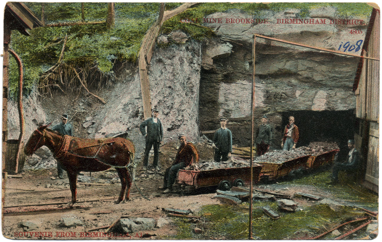
Coal Mine Brookside
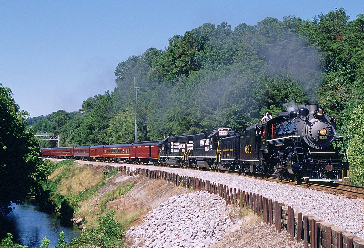
951 Eastbound

the ominous underside
Birmingham,-AL-2013
Knob Mine Bucyrus Erie 1570 Walking Dragline

Knob Mine Bucyrus 1260 Dragline
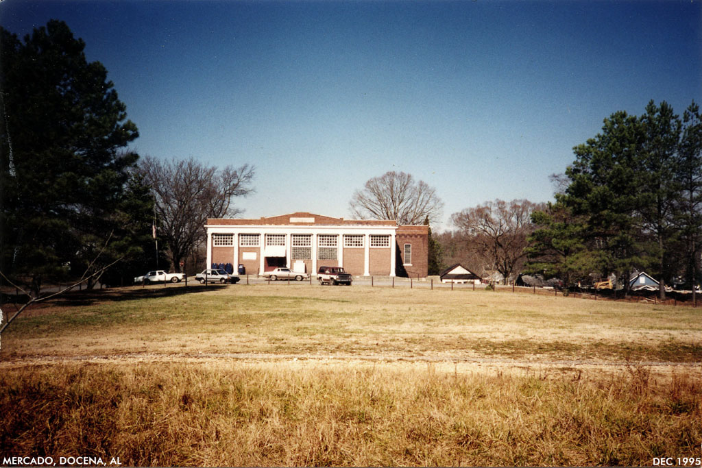
Docena mercado
american face dust
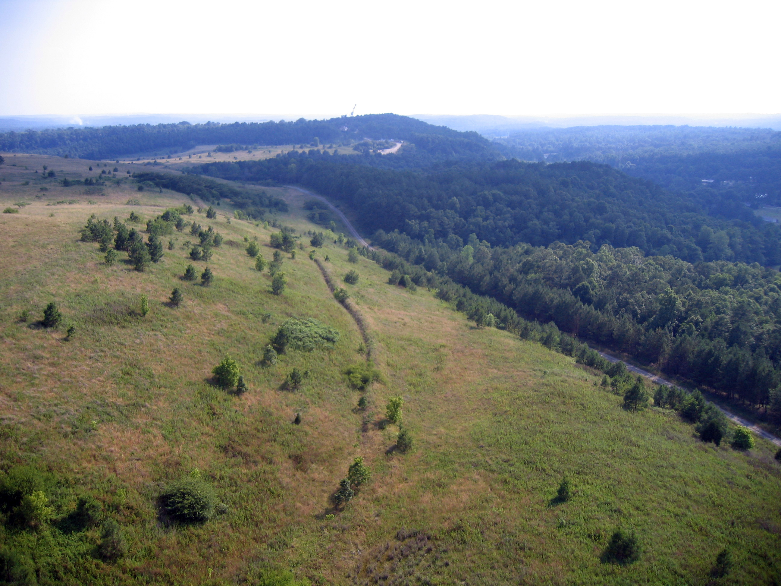
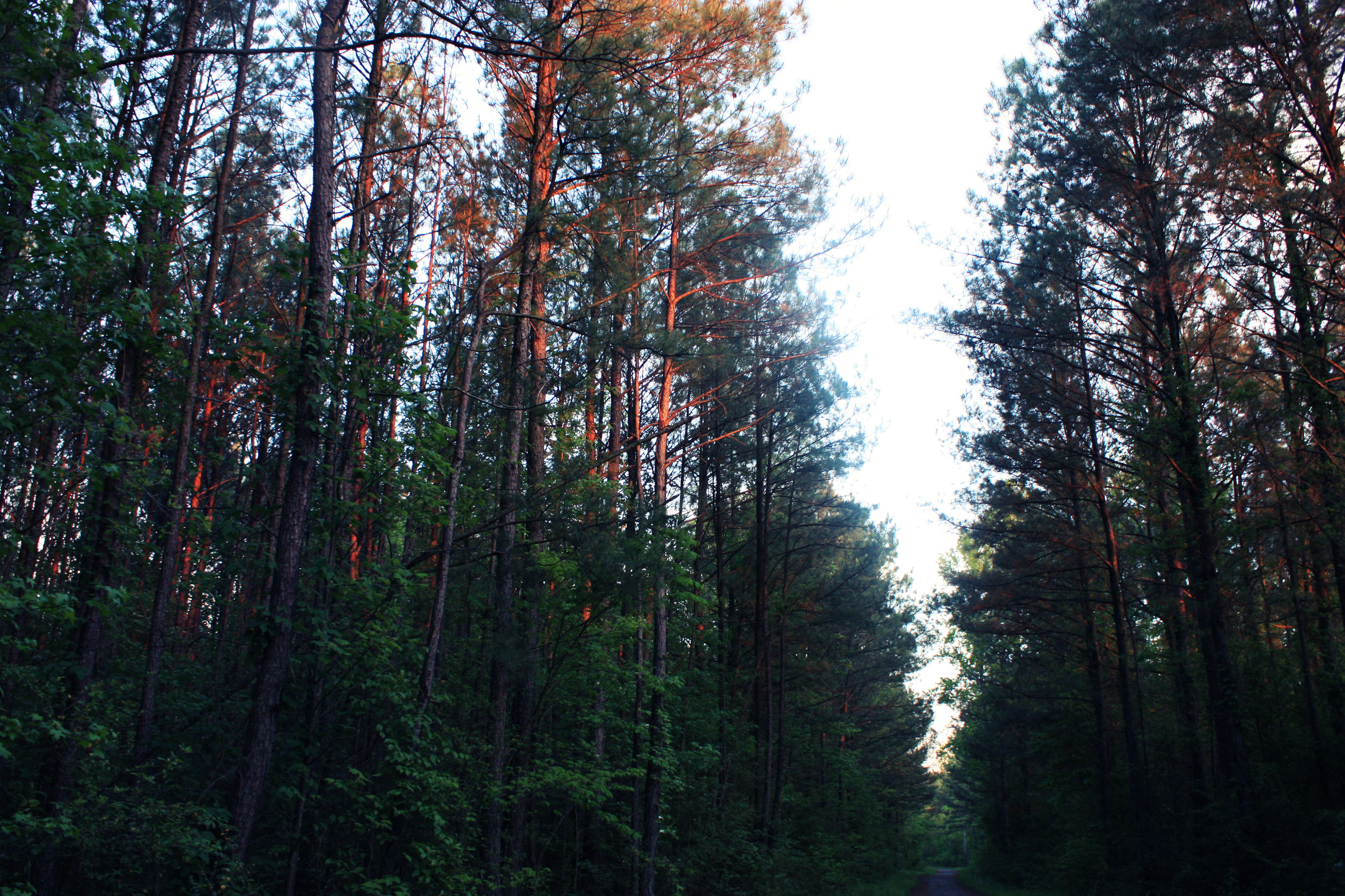
More trees
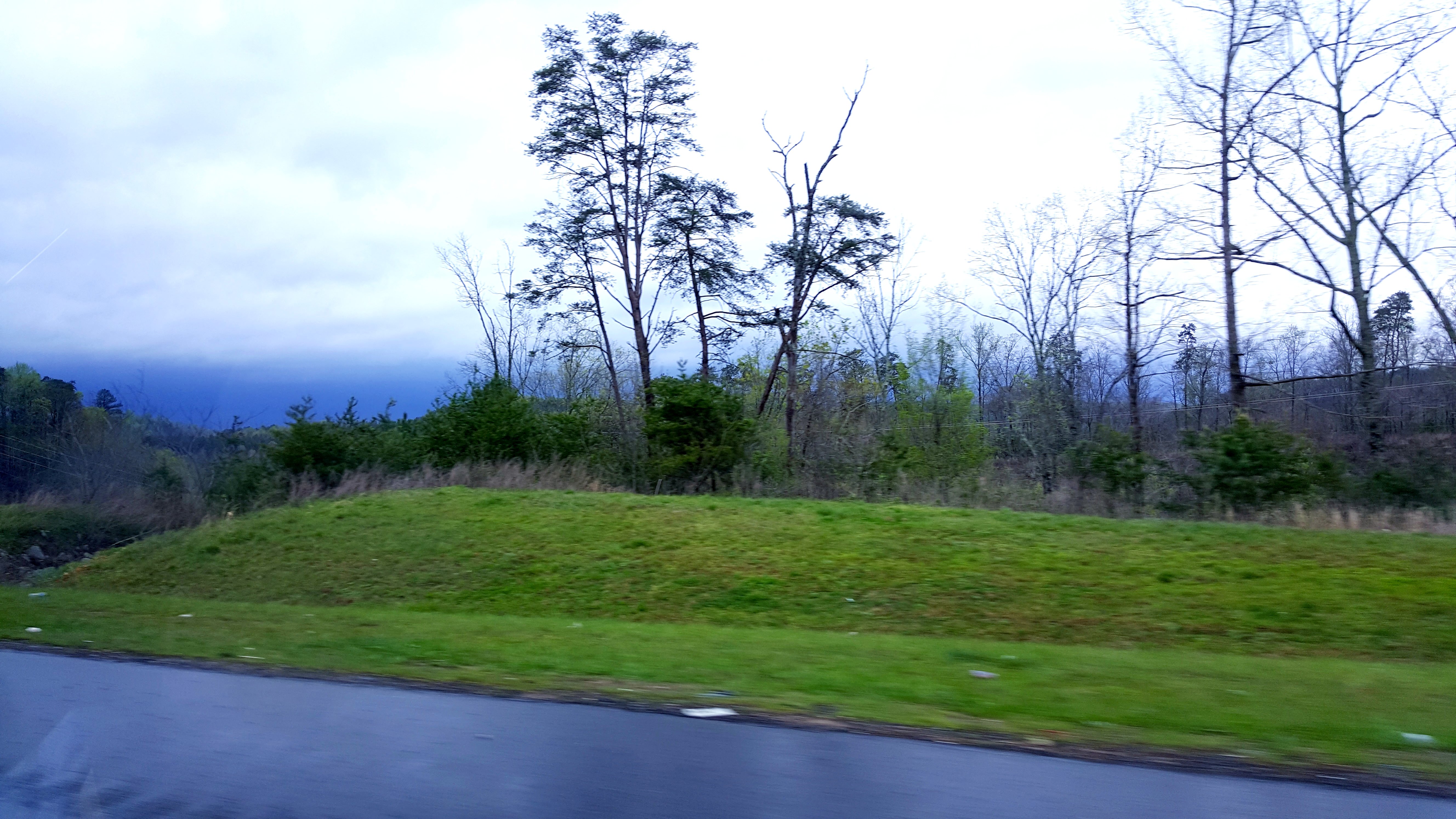
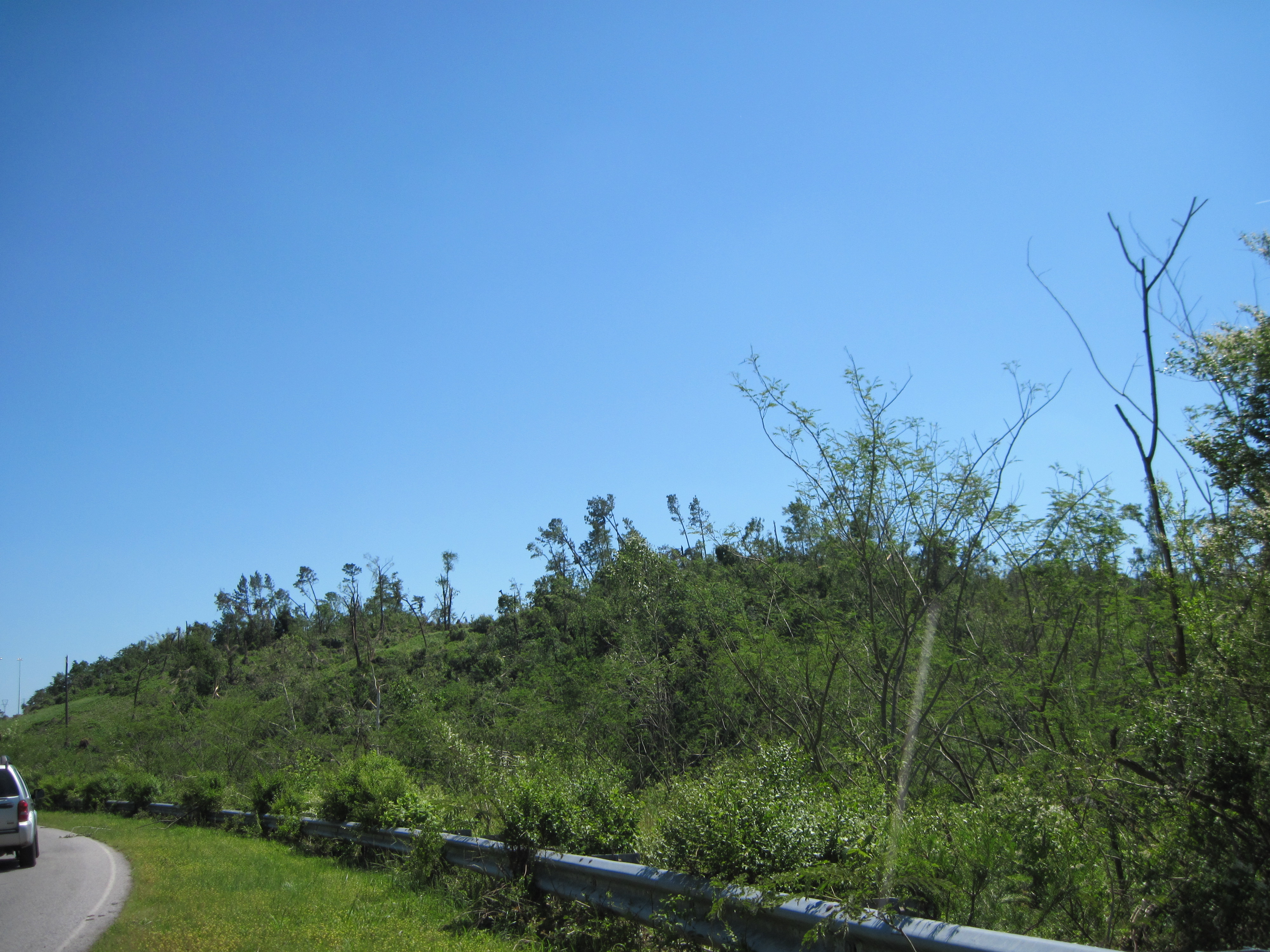
Dreary in Alabama

Yay! #iphoneonly #lifeisgood #instagram #iphone4s #iphoneography
Birmingham-20110506-00008
Topographic Map of Mt Olive, AL, USA
Find elevation by address:

Places near Mt Olive, AL, USA:
1275 Mcpherson Rd
Mount Olive
Mt Olive Rd, Mt Olive, AL, USA
Powder Mill Rd, Mt Olive, AL, USA
Brookside
Price St, Graysville, AL, USA
1338 Mountain Ln
7933 Ed Jones Rd
Cherry Ave, Graysville, AL, USA
Tina Ave, Birmingham, AL, USA
Forestdale Bend Rd, Birmingham, AL, USA
Cherry Ave, Graysville, AL, USA
Old Jasper Hwy, Graysville, AL, USA
Shady Grove Rd, Fultondale, AL, USA
8th Ave NE, Graysville, AL, USA
Hightower Ave, Fultondale, AL, USA
9th St SE, Graysville, AL, USA
Azalea Ln, Adamsville, AL, USA
Bowstring Dr, Birmingham, AL, USA
332 Greenleaf Dr
Recent Searches:
- Elevation of Corso Fratelli Cairoli, 35, Macerata MC, Italy
- Elevation of Tallevast Rd, Sarasota, FL, USA
- Elevation of 4th St E, Sonoma, CA, USA
- Elevation of Black Hollow Rd, Pennsdale, PA, USA
- Elevation of Oakland Ave, Williamsport, PA, USA
- Elevation of Pedrógão Grande, Portugal
- Elevation of Klee Dr, Martinsburg, WV, USA
- Elevation of Via Roma, Pieranica CR, Italy
- Elevation of Tavkvetili Mountain, Georgia
- Elevation of Hartfords Bluff Cir, Mt Pleasant, SC, USA