Elevation of Twelfth Street, Sheridan, CA, USA
Location: United States > California > Placer County > Sheridan >

Longitude: -121.37437

Latitude: 38.97969

Elevation: 35m / 115feet

Barometric Pressure: 101KPa

Elevation Map:

elevation map of Twelfth Street, Sheridan, CA, USA

Satellite Map:

Satellite map of Twelfth Street, Sheridan, CA, USA
Related Photos:

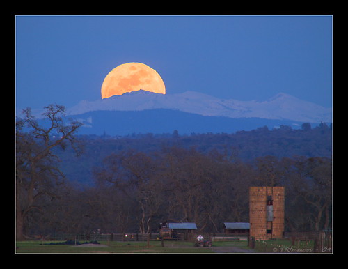
california lighting sky moon mountain wow landscape glow perspective landmark olympus explore moonrise e3 sierranevada desolationwilderness centralvalley 126 1000views placercounty californialandscape telephotolandscape sigma135400mmf4556 olympuse3
Crystal Moon Rising
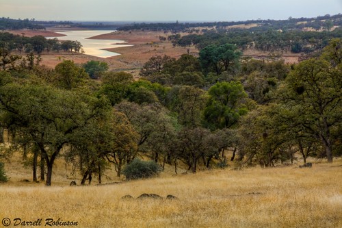
california autumn trees sunset sky foothills lake green fall nature water canon oak adobe lee vivitar manfrotto hoya nevadacounty cokin sierranevadafoothills canoneos50d manfrotto190xprobtripod lightroom3 campfarwestreservoir cokinfilterholder photomatixpro4 canonefs1585mmf3556isusmlens adobephotoshopcs5 hoyahdcircularpolarizingfilter adobebridgecs5 leefilter9ndgradpseries vivitarwirelessshutterreleasevivrc200 manfrottobasicpantilthead
Oak Woodlands
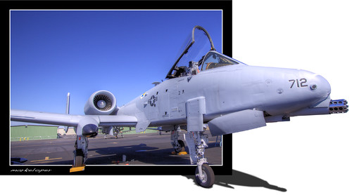
show california west canon out team box aviation air pop airshow demonstration lincoln warthog a10 oob popout 50d markeloper
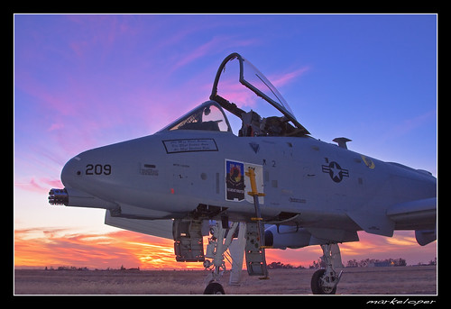
The A-10 Warthog Pop-out
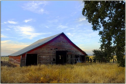
sunset abandoned grass barn nikon scenery norcal d200 tresspassing route65 sigma1530 lincolnca wowwhatalemon hereiwasallexcitedtopostthis iguessiknowwhomyrealfriendsare
Secret Barn
winter northerncalifornia reflections blackwhite drycreek spenceville sierranevadafoothills yubacounty spencevillewildlifearea waldoroad canon7d canon1585mmusmis lightroom4 topazsw
A Dog's View of the World
show california sunset canon air airshow lincoln warthog a10 50d markeloper
BBQ with an A-10 Warthog
california postprocessed tower texture water photoshop square typography tank graphic watertower utility storage infrastructure type norcal processed vignette h20 antennas wheatland typographic supersaturated postprocessing lensblur secretrecipe digixpro signaltonoise prcssd eyetwistkevinballuff
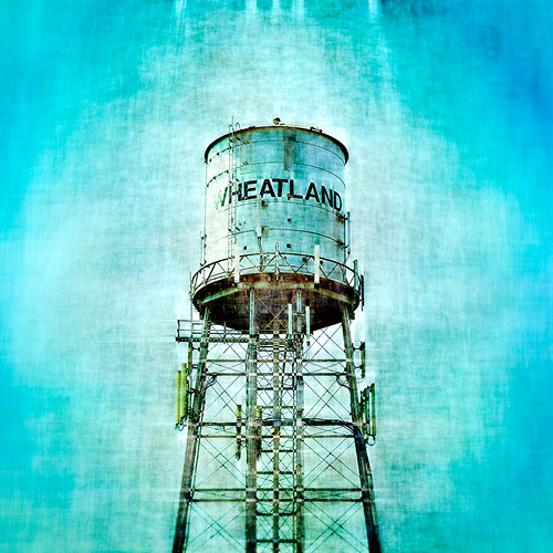
prcssd. wheatland, ca. 2012.
california county canon fence photo rust post lock free chain master photograph placer tarnish slave placercounty enslave 50d 100mm28macro familygetty2010 familygetty
Master 2765
view aerial peaceonearthorg
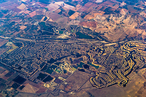
Aerial View of Hammon Grove Park, CA
california ca winter field sign post hawk wildlife raptor posted lincoln perch fields perched predator grassland 100400mm redshoulderedhawk notrespassing hawks privateproperty placercounty nohunting redshouldered nofishing buteolineatus cityoflincoln
Red-Shouldered Hawk - The Sheriff or the Poacher?
silo missile titan d300 titan1
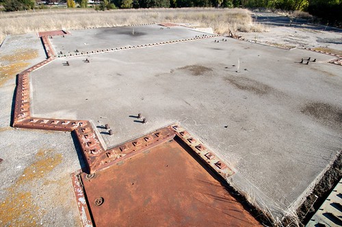
Silo doors, launcher #2
silo missile titan d300 titan1
The view of Lincoln from the 851st SMS missile base
california warning commute norcal defense array yubacounty bealeafbphased systemradarmissle
PAVE PAWS
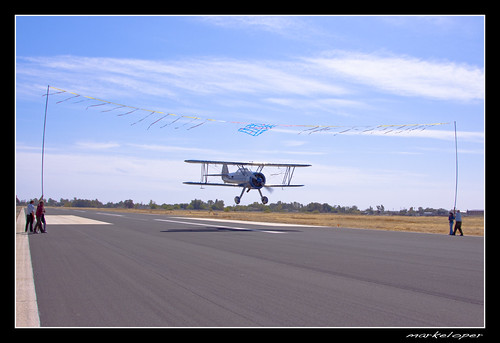
show california sunset canon air super airshow lincoln eddie stearman the 50d andreini markeloper
Flying under the ribbon
terra mcbean cotta gladding lincolncaliforniapotteryfactoryarchitecture
Gladding 8247
terra mcbean cotta gladding lincolncaliforniapotteryfactoryarchitecture
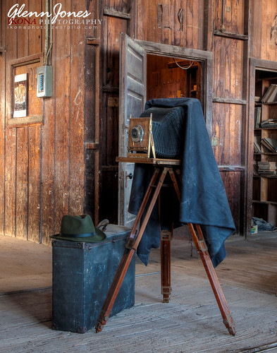
View Camera with Hat
auburn hike hiddenfalls regionalparks
Hidden Falls 001.JPG
auburn hike hiddenfalls regionalparks
Surrounding Hills 001.JPG
show california sunset canon air super airshow lincoln eddie stearman the 50d andreini markeloper
The Super Stearman
camp wwii ww2 pow
Broken Vista
bridge autumn fall northerncalifornia river landscape drycreek autumnleaves californiacoast spenceville yubacounty spencevillewildlifearea waldoroad canon7d canon1585mmusmis lightroom5 topazsw
The Bridge at Waldo Junction
winter sunset birds clouds landscape geese colorful rice goose fields midair fowl migration waterfowl canadagoose canadageese centralvalley migrating honkers flyinggeese extremecolor californialandscape migratingbirds migratinggeese northerncaliforniasunset ivansohrakoffphotographic isophotographic
Ninety One: Wheatland, CA
california west abandoned 120 6x6 mamiya film analog rural mediumformat square landscape 50mm rice martin kodak farming icon ishootfilm symmetry boring american symmetrical sutter analogue mamiya6 portra derelict deserted dryer corrugated banal drier ordinary emulsion eggleston sacramentovalley yuba 160nc primes kodakportra160nc eyetwist 6mf bypassed mamiya6mf theicon ca70 ishootkodak epsonv750pro recentlyprocessedfilm eastnicolaus filmexif filmtagger eyetwistkevinballuff colornegativec41 mamiya50mmf4l
abandoned rice dryers. east nicolaus, ca. 2013.
california ca morning autumn cloud mist tree fall field misty fog clouds rural landscape one interestingness alone cloudy topv999 foggy depthoffield explore solo fields lone isolation prairie sole grassland earthtones centralvalley placercounty sacramentovalley earthtone landscapephotography top500 i500 interestingness339 landscapephotos 1750mm earthtoned mooreroad
Depth of Field
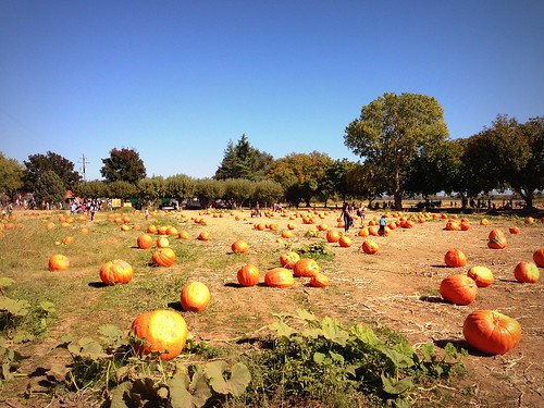
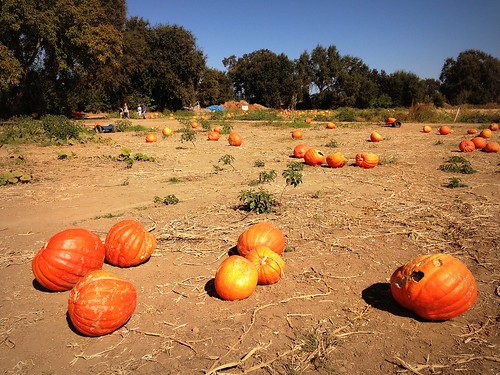
california orange halloween apple northerncalifornia cali fruit pumpkin phone farm telephone pumpkins cellphone cell dirt mobilephone pumpkinpatch norcal gps workingfarm happyhalloween sunnyday pumpkinfarm yubacity kalifornien californie wheatland iphone hotday squashplant pumpkinfield 加州 カリフォルニア yubacounty californië bishopspumpkinfarm orangepumpkins appleiphone iphone5 takenwithaniphone калифорния كاليفورنيا 캘리포니아 καλιφόρνια κολοκύθι iphonecapture backcamera iphone5capture
Bishop's #PumpkinFarm
california vacation usa tree fog hawaii landscapes places states sheridan scenicshots
Oak and Fog
california landscape olympus e3 californialandscape zd suttercounty 1260mm olympuse3
Rice Country
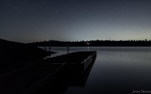
california longexposure camping camp water canon stars landscape nightshot wideangle
Lake Camp Far West Lake
california vacation usa tree fog hawaii landscapes us places states sheridan scenicshots
Oak Emerging
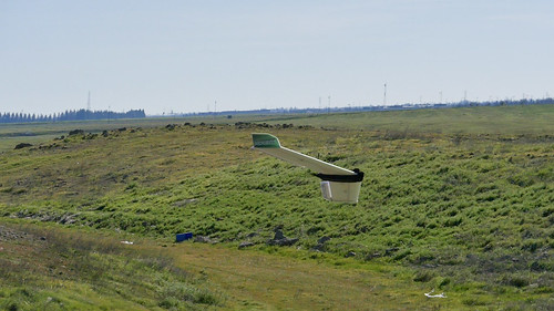
california airplane lumix unitedstates outdoor aircraft panasonic lincoln fpv rcflying m43 gh4 mirrorless aierial microfourthirds m43ftw dreyerpicturescom
FPV Radio Control Flying
california airplane lumix unitedstates outdoor aircraft panasonic lincoln fpv rcflying m43 gh4 mirrorless aierial microfourthirds m43ftw dreyerpicturescom
FPV Radio Control Flying
square squareformat iphoneography instagramapp uploaded:by=instagram foursquare:venue=4f7ebacde4b077c1808ee013
The sunsets in Placer County are like no other #countrylivin'
county blue winter wild sky white snow bird nature water beautiful birds animal fauna rural canon landscape outdoors fly flying geese spring wings wildlife horizon crowd flock north group flight wing goose formation clear tips 7d migratory fowl migration soaring waterfowl hybrid graceful birdwatching avian hunt migrating snowgeese rosss snowgoose chencaerulescens migrate 400mmf4dois
Snow Geese Formation 9678
county blue winter wild sky white snow bird nature water beautiful birds animal fauna rural canon landscape outdoors fly flying geese spring wings wildlife horizon crowd flock north group flight wing goose formation clear tips 7d migratory fowl migration soaring waterfowl hybrid graceful birdwatching avian hunt migrating snowgeese rosss snowgoose chencaerulescens migrate 400mmf4dois
Ross's Geese 9885
california ca sunset zeiss landscape lincoln hdr zf2 makroplanart2100 hdrefexpro
April Sunset
auburn hike hiddenfalls regionalparks
Deadman Creek Falls 005.JPG