Elevation of Sheridan, CA, USA
Location: United States > California > Placer County >
Longitude: -121.37610
Latitude: 38.979553
Elevation: 31m / 102feet
Barometric Pressure: 101KPa
Elevation Map:
Satellite Map:
Related Photos:
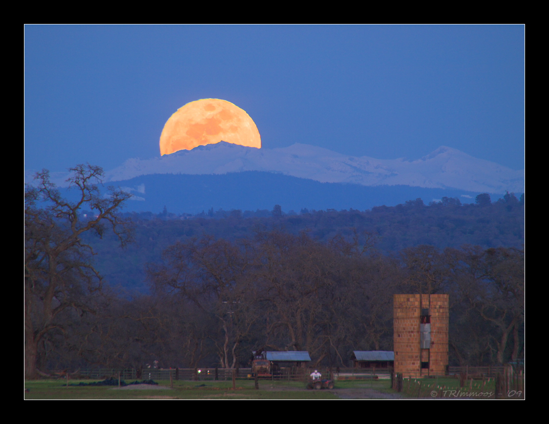
Crystal Moon Rising
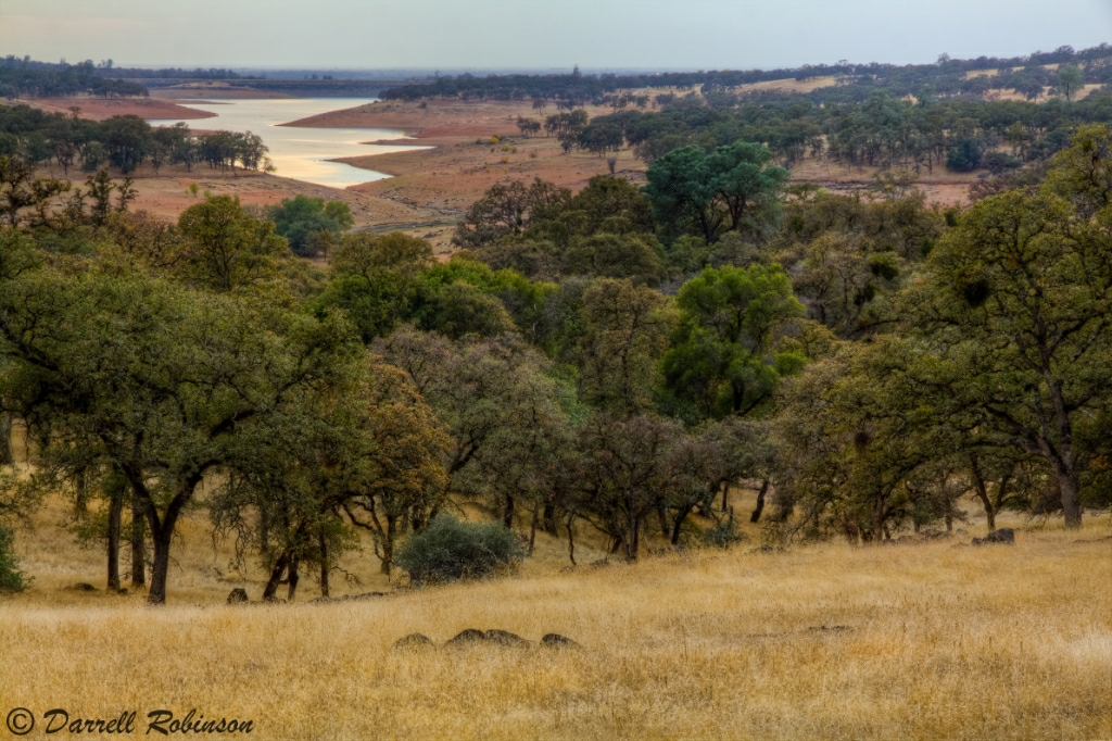
Oak Woodlands
A Dog's View of the World

BBQ with an A-10 Warthog
prcssd. wheatland, ca. 2012.

Master 2765
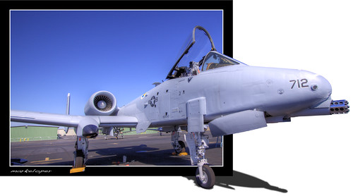
The A-10 Warthog Pop-out

Aerial View of Hammon Grove Park, CA
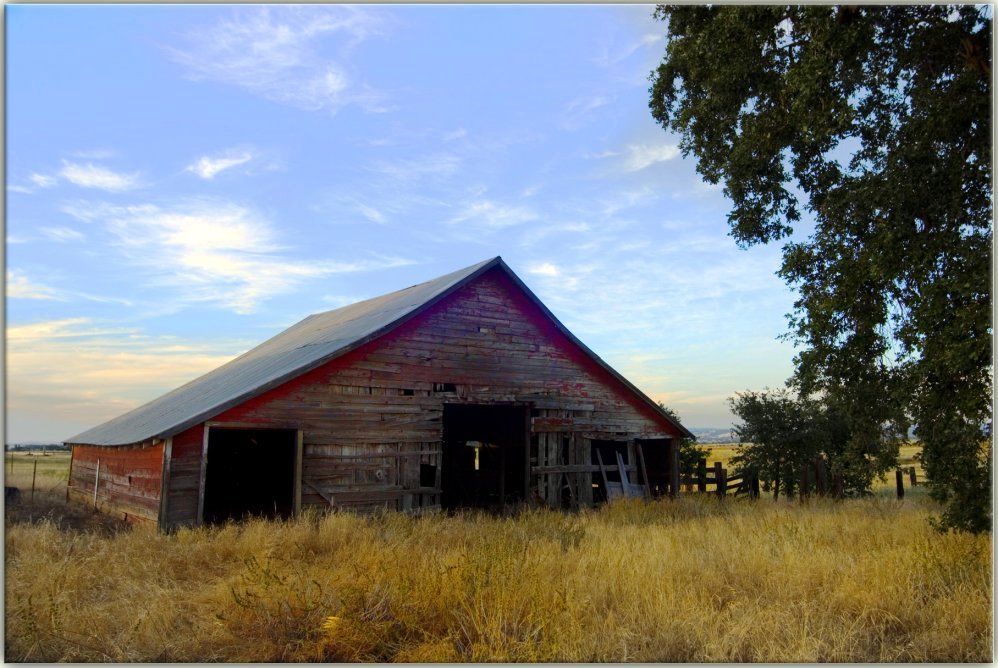
Secret Barn

Red-Shouldered Hawk - The Sheriff or the Poacher?
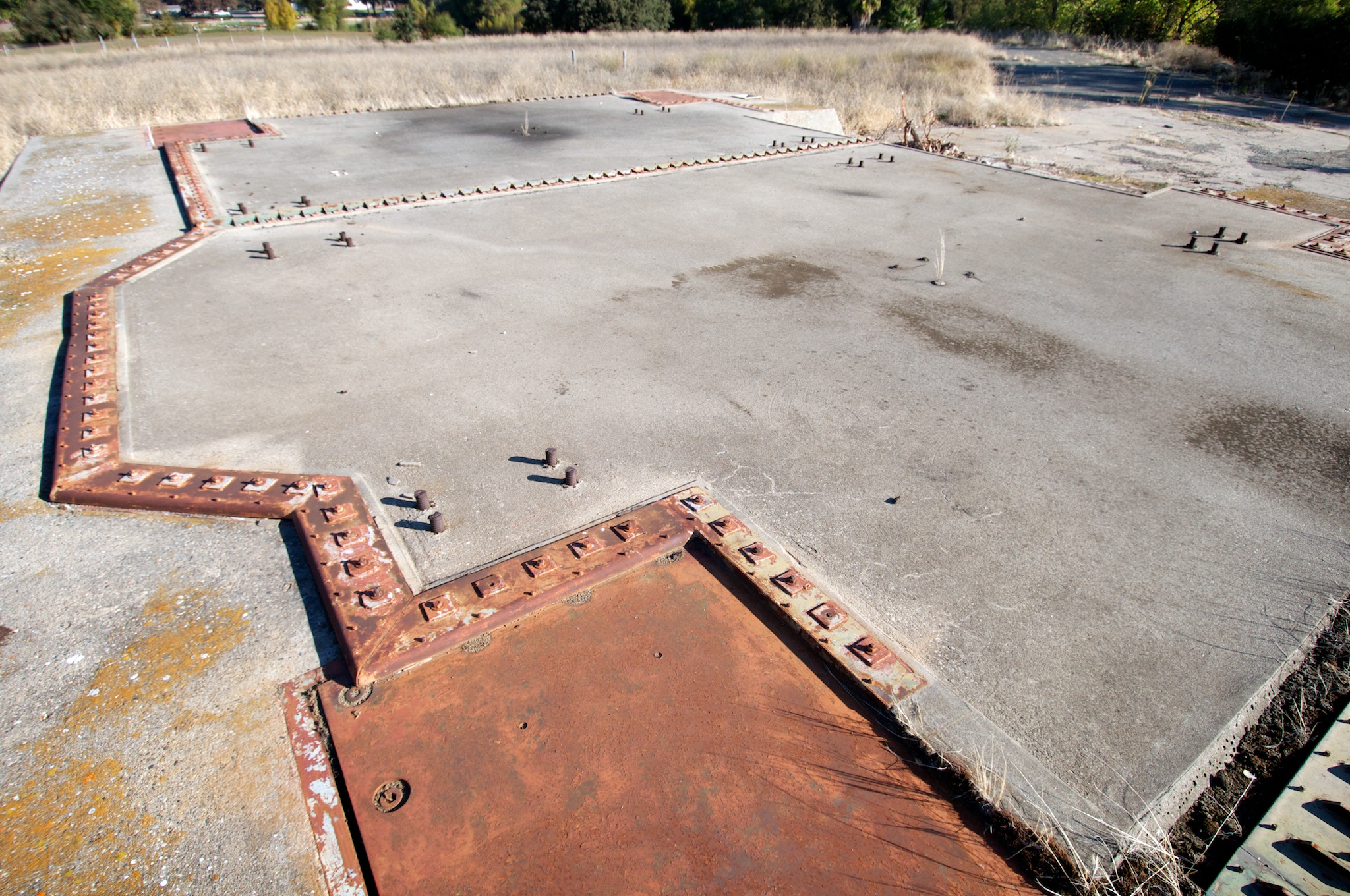
Silo doors, launcher #2
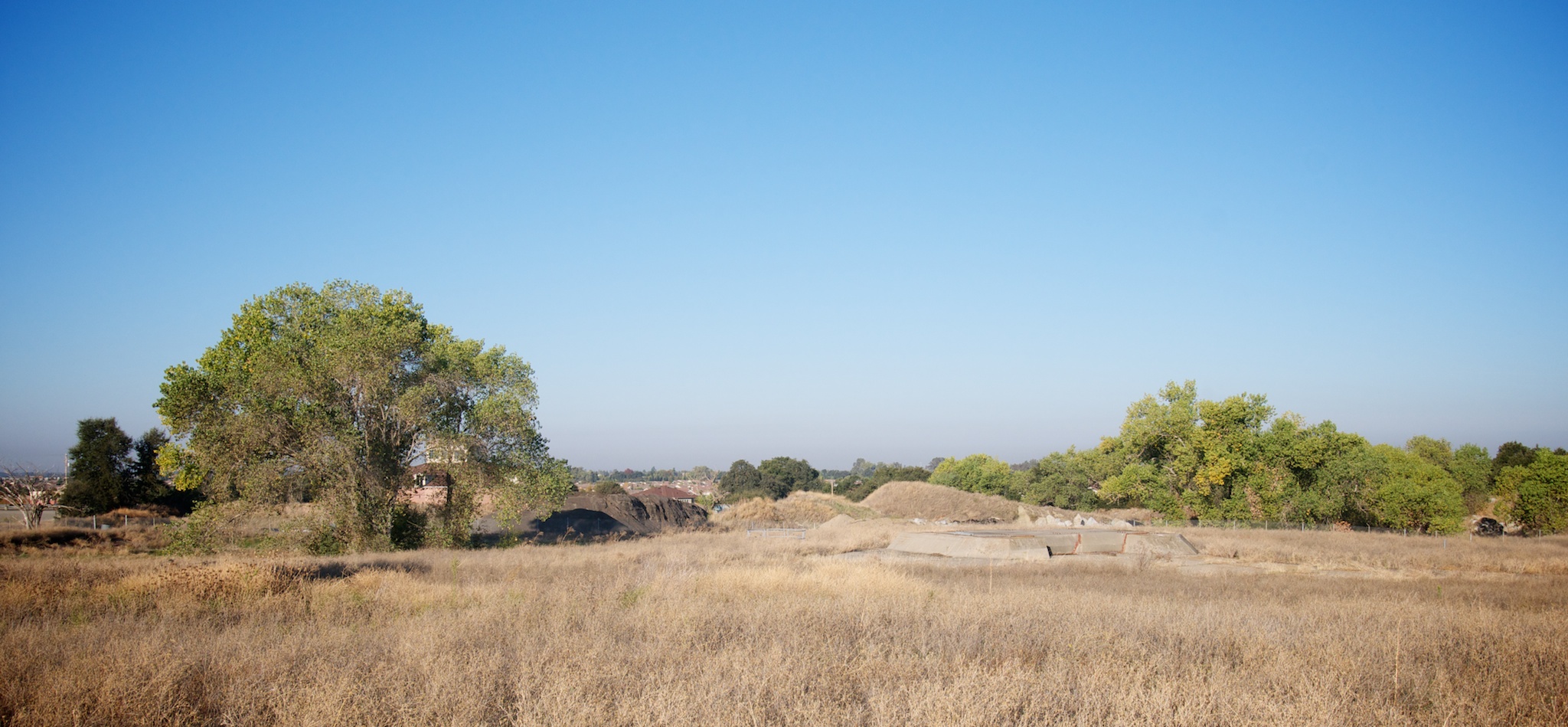
The view of Lincoln from the 851st SMS missile base

PAVE PAWS
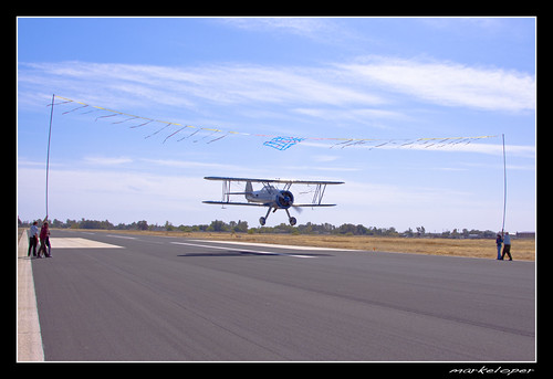
Flying under the ribbon
Gladding 8247
View Camera with Hat
The Super Stearman
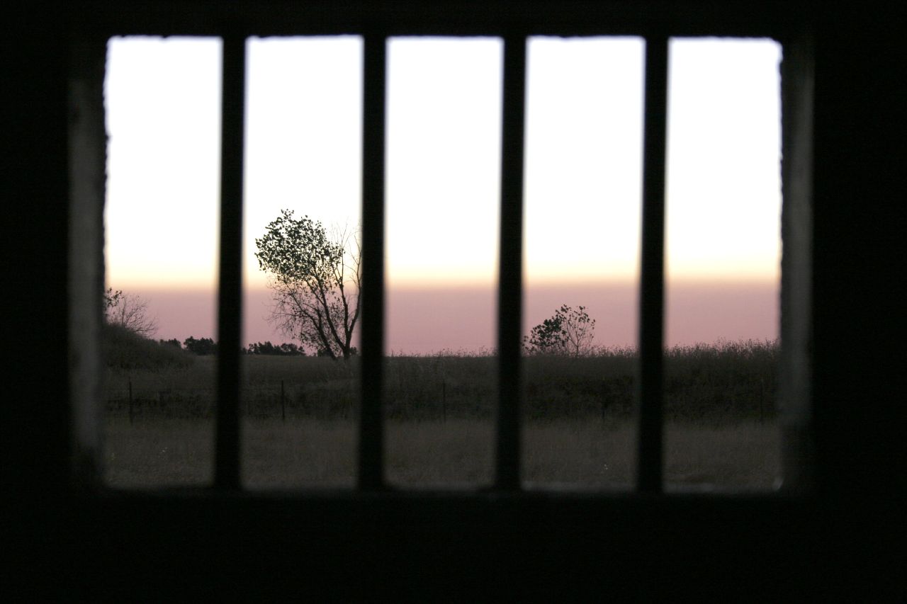
Broken Vista

Oak and Fog

Rice Country
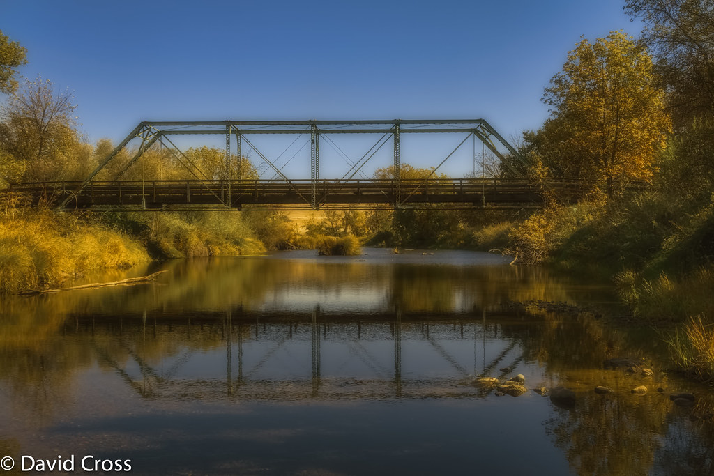
The Bridge at Waldo Junction
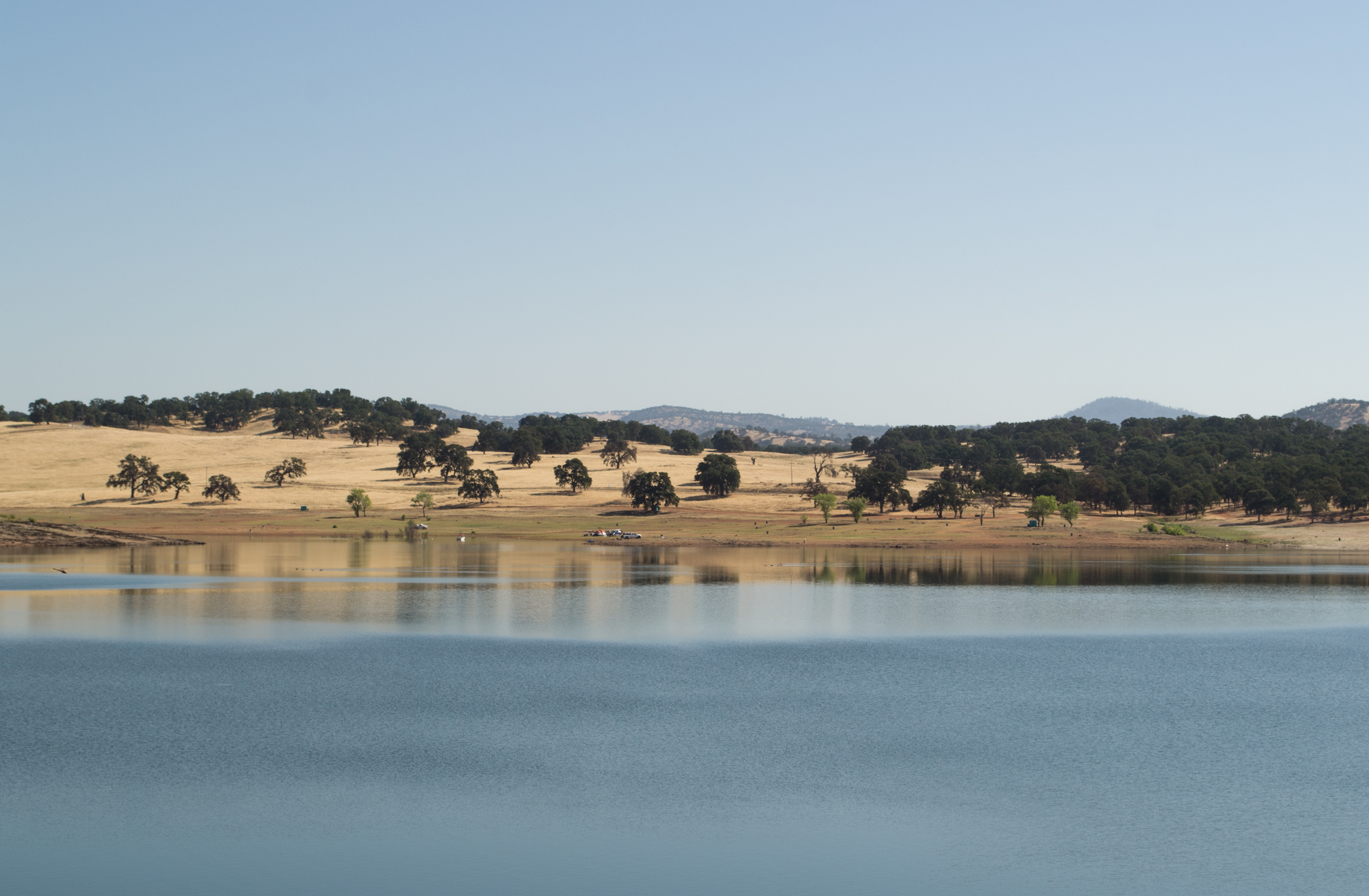
Lake Camp Far West Lake

Oak Emerging

Ninety One: Wheatland, CA

abandoned rice dryers. east nicolaus, ca. 2013.

The sunsets in Placer County are like no other #countrylivin'

Snow Geese Formation 9678

Ross's Geese 9885

Depth of Field

April Sunset

Bishop's #PumpkinFarm
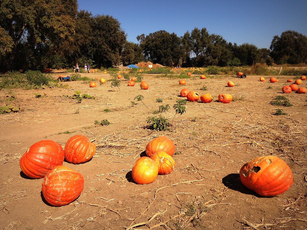
Bishop's #PumpkinFarm

Wheatland Sunsplash

Back Road
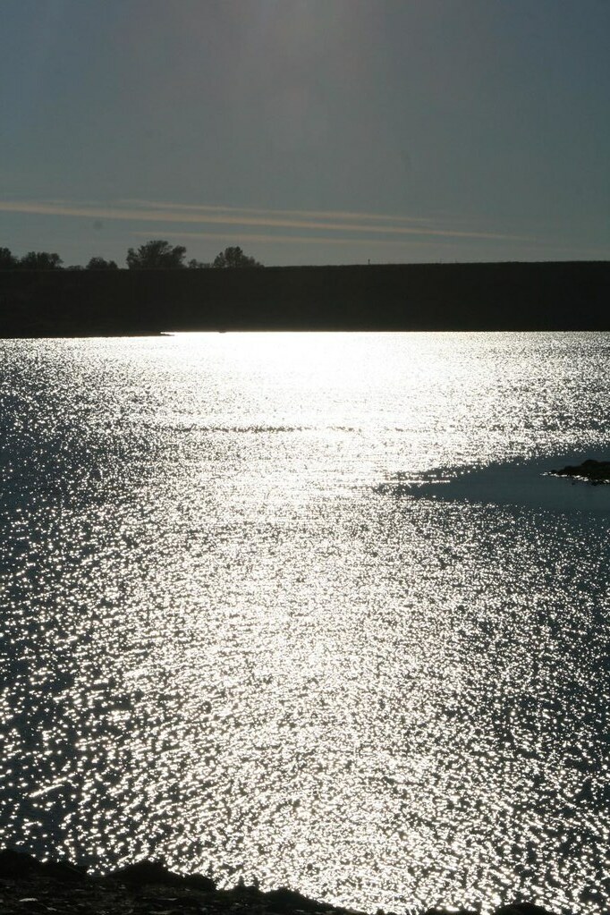
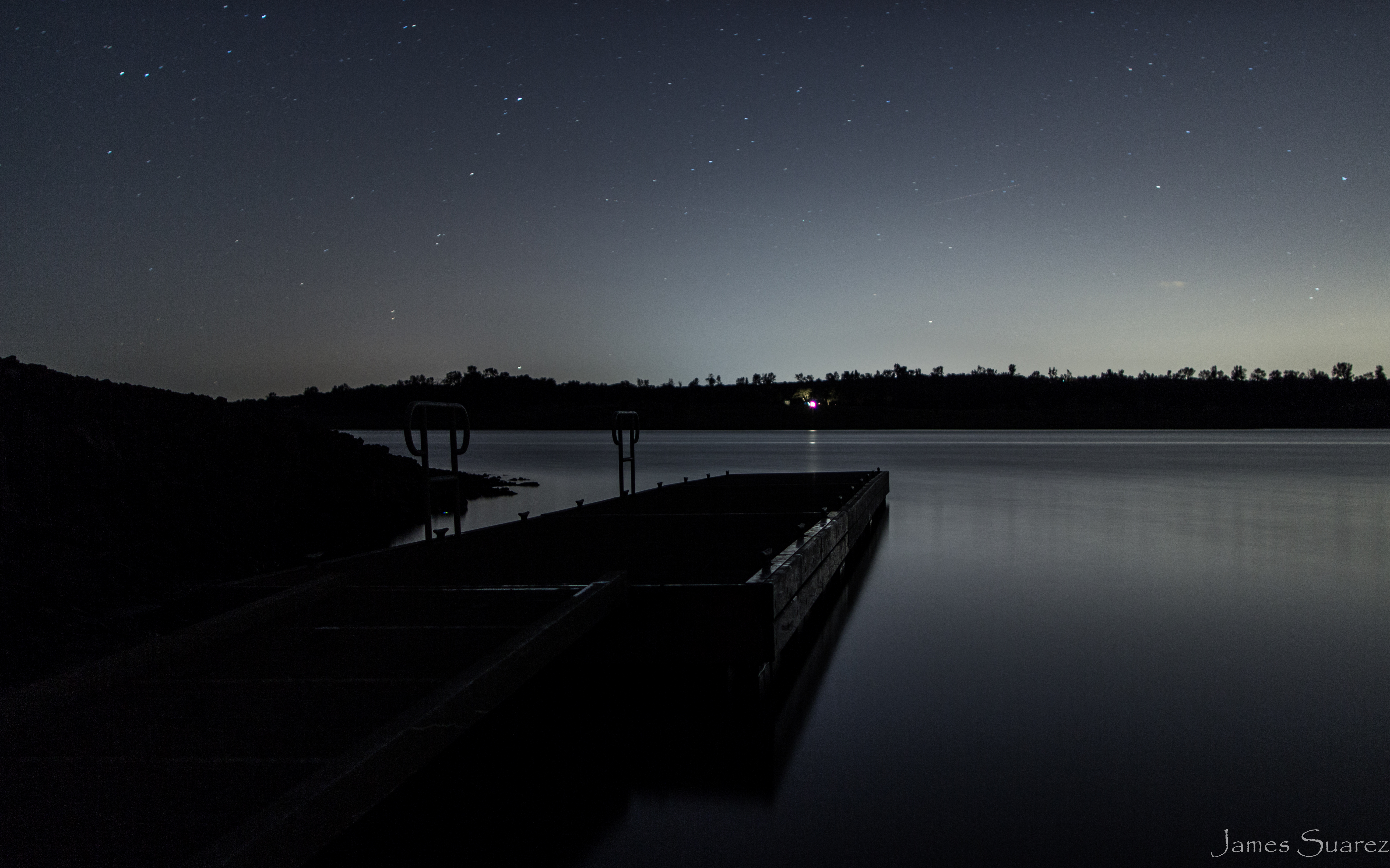
Camp Far West

Glorious Sunset
Lincoln, Camp Far West Lake (0110)
Topographic Map of Sheridan, CA, USA
Find elevation by address:

Places in Sheridan, CA, USA:
Places near Sheridan, CA, USA:
Twelfth Street, Sheridan, CA, USA
3805 Sheridan Lincoln Blvd
7330 Meadowlark Ln
513 State St
408 Main St
Wheatland
803 Kempton Ct
604 Carpenter Way
1501 Aviation Blvd
Wheatland Road
4262 Gallagher Rd
617 Widgeon Ct
613 Widgeon Ct
4000 Bear River Dr
4000 Bear River Dr
Lincoln Rifle Club Range
Moore Road
508 P St
111 Deanna Ct
1504 4th St
Recent Searches:
- Elevation of Corso Fratelli Cairoli, 35, Macerata MC, Italy
- Elevation of Tallevast Rd, Sarasota, FL, USA
- Elevation of 4th St E, Sonoma, CA, USA
- Elevation of Black Hollow Rd, Pennsdale, PA, USA
- Elevation of Oakland Ave, Williamsport, PA, USA
- Elevation of Pedrógão Grande, Portugal
- Elevation of Klee Dr, Martinsburg, WV, USA
- Elevation of Via Roma, Pieranica CR, Italy
- Elevation of Tavkvetili Mountain, Georgia
- Elevation of Hartfords Bluff Cir, Mt Pleasant, SC, USA